Vancouver 🇺🇸
-
Nautical Twilight begins:05:04 amSunrise:06:15 am
-
Sunset:08:04 pmNautical Twilight ends:09:15 pm
-
Moonrise:05:02 pm
-
Moonset:05:10 am
-
Moon over:11:38 pm
-
Moon under:11:06 am
-
Visibility:91%
-
 Waxing Gibbous
-
Distance to earth:405,451 kmProximity:0.6 %
Moon Phases for Vancouver
-
poor Day
-
minor Time:04:10 am - 06:10 am
-
major Time:10:06 am - 12:06 pm
-
minor Time:04:02 pm - 06:02 pm
-
major Time:10:38 pm - 12:38 am
Tide Clock
Tide Graph
Times
| Tide | Time | Height |
|---|---|---|
| low | 01:35 am | 0 ft |
| high | 05:57 am | 0 ft |
| low | 02:02 pm | 0 ft |
| high | 06:01 pm | 0 ft |
| Date | Major Bite Times | Minor Bite Times | Sun | Moon | Moonphase | Tide Times |
|---|---|---|---|---|---|---|
|
Sat, 20 Apr
|
10:06 am -
12:06 pm
10:38 pm -
12:38 am
|
04:10 am -
06:10 am
04:02 pm -
06:02 pm
|
R: 06:15 am S: 08:04 pm |
R: 05:02 pm S: 05:10 am |
Waxing Gibbous |
low: 01:35 am
, 0 ft
high: 05:57 am
, 0 ft
low: 02:02 pm
, 0 ft
high: 06:01 pm
, 0 ft
|
|
Sun, 21 Apr
|
10:45 am -
12:45 pm
11:18 pm -
01:18 am
|
04:25 am -
06:25 am
05:06 pm -
07:06 pm
|
R: 06:13 am S: 08:06 pm |
R: 06:06 pm S: 05:25 am |
Waxing Gibbous |
low: 02:11 am
, 0 ft
high: 06:28 am
, 0 ft
low: 02:43 pm
, 0 ft
high: 06:47 pm
, 0 ft
|
|
Mon, 22 Apr
|
11:25 am -
01:25 pm
10:51 pm -
12:51 am
|
04:40 am -
06:40 am
06:11 pm -
08:11 pm
|
R: 06:11 am S: 08:07 pm |
R: 07:11 pm S: 05:40 am |
Full Moon |
low: 02:44 am
, 0 ft
high: 06:56 am
, 0 ft
low: 03:21 pm
, 0 ft
high: 07:30 pm
, 0 ft
|
|
Tue, 23 Apr
|
12:07 pm -
02:07 pm
11:32 pm -
01:32 am
|
04:56 am -
06:56 am
07:18 pm -
09:18 pm
|
R: 06:09 am S: 08:08 pm |
R: 08:18 pm S: 05:56 am |
Full Moon |
low: 03:15 am
, 0 ft
high: 07:21 am
, 0 ft
low: 03:57 pm
, 0 ft
high: 08:12 pm
, 0 ft
|
|
Wed, 24 Apr
|
12:15 am -
02:15 am
12:51 pm -
02:51 pm
|
05:15 am -
07:15 am
08:28 pm -
10:28 pm
|
R: 06:08 am S: 08:09 pm |
R: 09:28 pm S: 06:15 am |
Full Moon |
low: 03:45 am
, 0 ft
high: 07:46 am
, 0 ft
low: 04:31 pm
, -0 ft
high: 08:54 pm
, 0 ft
|
|
Thu, 25 Apr
|
01:02 am -
03:02 am
01:38 pm -
03:38 pm
|
05:38 am -
07:38 am
09:39 pm -
11:39 pm
|
R: 06:06 am S: 08:11 pm |
R: 10:39 pm S: 06:38 am |
Full Moon |
low: 04:15 am
, 0 ft
high: 08:11 am
, 0 ft
low: 05:05 pm
, -0 ft
high: 09:36 pm
, 0 ft
|
|
Fri, 26 Apr
|
02:09 am -
04:09 am
02:29 pm -
04:29 pm
|
06:09 am -
08:09 am
10:50 pm -
12:50 am
|
R: 06:05 am S: 08:12 pm |
R: 11:50 pm S: 07:09 am |
Waning Gibbous |
low: 04:46 am
, 0 ft
high: 08:38 am
, 0 ft
low: 05:39 pm
, -0 ft
high: 10:19 pm
, 0 ft
|


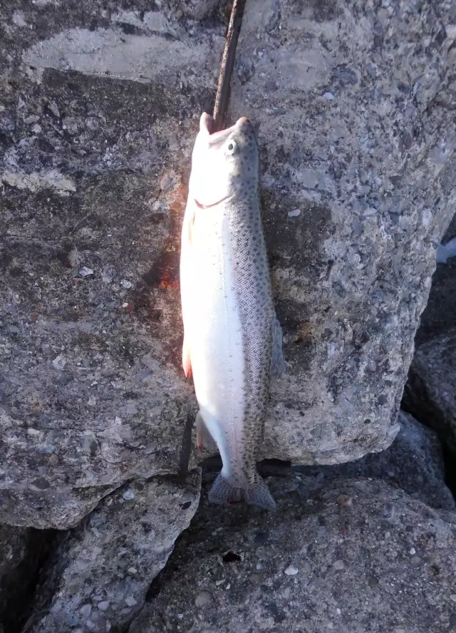
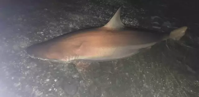
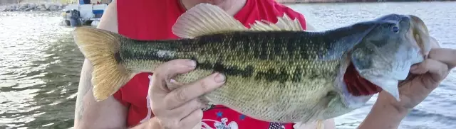
uploaded by: John Needham
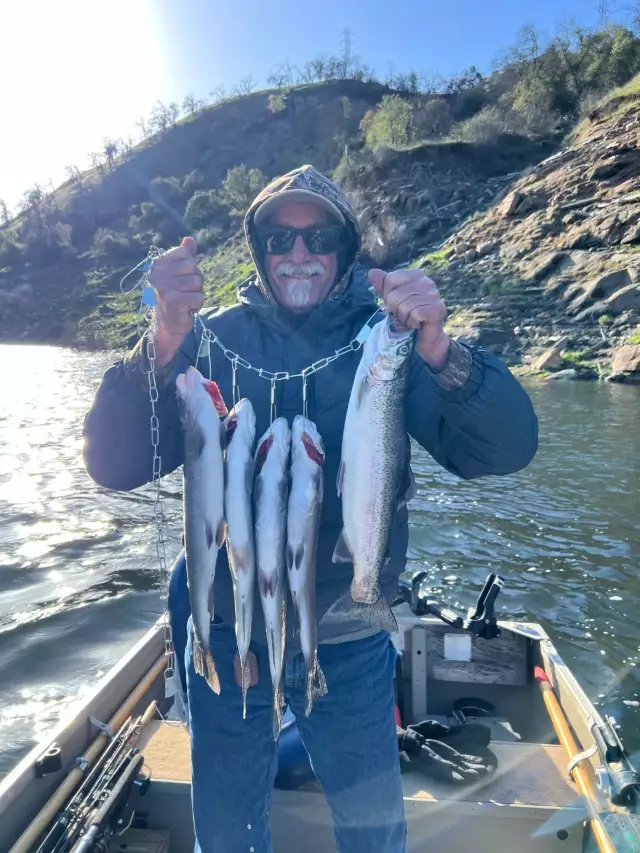
uploaded by: Charlie Pifer
uploaded by: Charlie Pifer
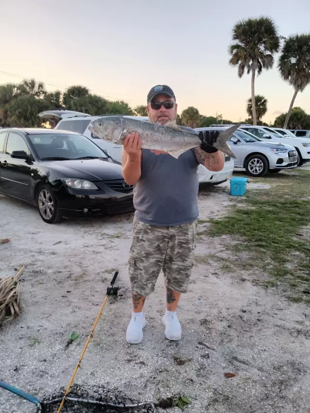
uploaded by: Mark Totzke
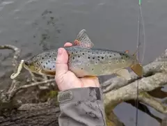
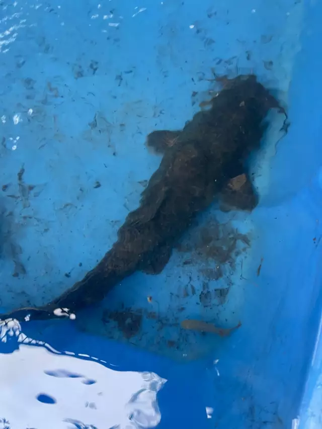
uploaded by: PT Edward fisher
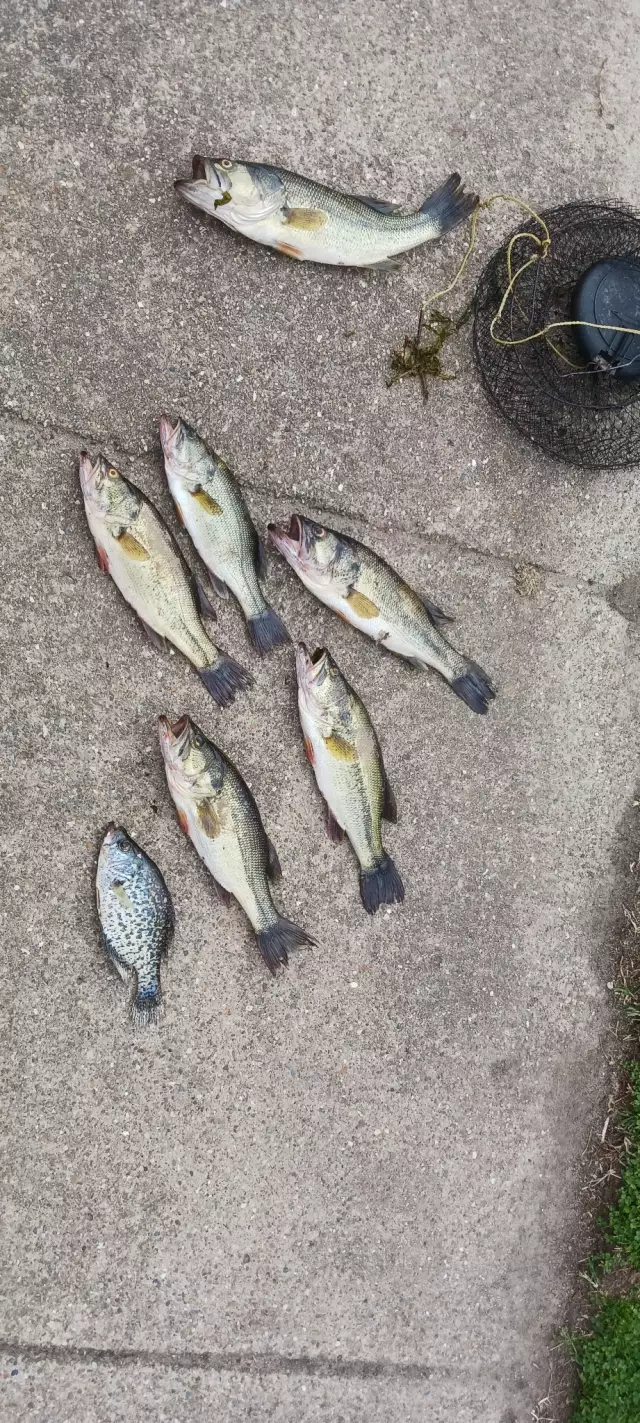
uploaded by: Banana Belt Billy
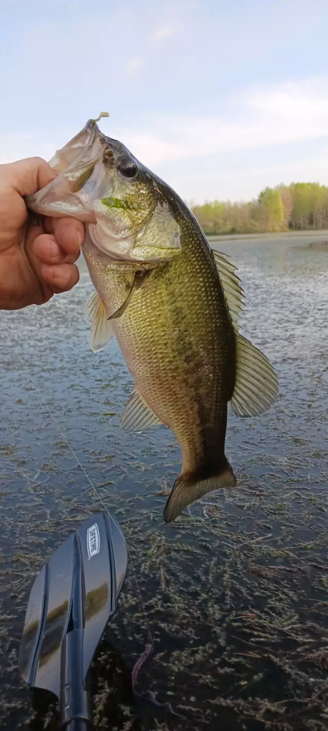
uploaded by: Inked
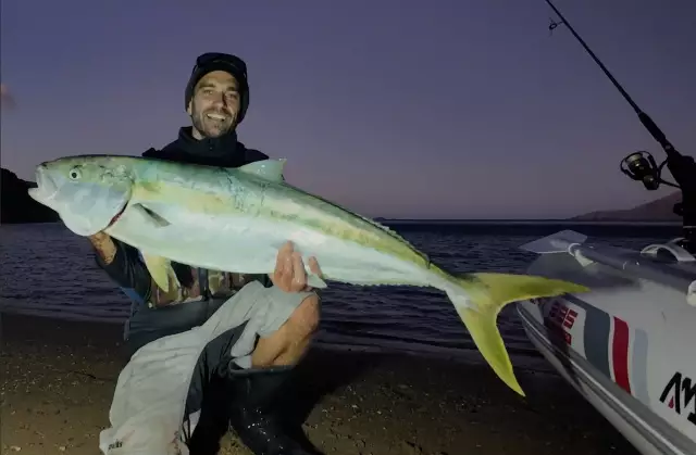
uploaded by: Michael Mitchell 1
uploaded by: Jason Boa
uploaded by: Cindy Bryant
Predloga:Zascitenovand,Predloga:Zaščitenovand,Template:Vandalism,Van'kouver,Vancouver,Vankuver,Vankuvur,baenkubeo,bankuba,wen ge hua,wnkwwr, washyngtn,Βανκούβερ,Ванкувер,Ванкувър,ونکوور، واشینگتن,แวนคูเวอร์,バンクーバー,溫哥華,밴쿠버
Best Fishing Spots in the greater Vancouver area
Beaches and Bays are ideal places for land-based fishing. If the beach is shallow and the water is clear then twilight times are usually the best times, especially when they coincide with a major or minor fishing time. Often the points on either side of a beach are the best spots. Or if the beach is large then look for irregularities in the breaking waves, indicating sandbanks and holes. We found 6 beaches and bays in this area.
Hayden Bay - 3km , Jantzen Bay Columbia Crossings Marina - 4km , Jantzen Beach Moorage - 4km , Salpar Bay Marina - 4km , Tomahawk Bay Moorage - 4km , Broughton Beach - 6km
Harbours and Marinas can often times be productive fishing spots for land based fishing as their sheltered environment attracts a wide variety of bait fish. Similar to river mouths, harbour entrances are also great places to fish as lots of fish will move in and out with the rising and falling tides. There are 28 main harbours in this area.
Vancouver Upper Turning Basin - 2km, Vancouver Lower Turning Basin - 3km, Portland Yacht Club - 4km, Courtyard by Marriott Portland North Harbour - 4km, Diversified Marine - 4km, Jantzen Bay Columbia Crossings Marina - 4km, Jantzen Beach Moorage - 4km, Salpar Bay Marina - 4km, Marineland at Pier 99 - 4km, Tomahawk Island Marina / Columbia Crossing - 4km, Tomahawk Bay Moorage - 4km, Sundance Marina - 4km, Columbia Way West Marina - 4km, McCuddy's Hayden Island Marina - 4km, Rose City Yacht Club - 5km, Tyee Yacht Club - 5km, Harbor 1 Marina - 5km, Babeckos Marine and Yacht Broker - 5km, Pac Mar Sundance Marina - 5km, Freds Marina Boat Ramp - 11km, Freds Marina - 11km, Multnomah Yacht Harbor Sales - 11km, Residence Inn Marriott Portland North Harbour - 12km, Cassidy Marina Way Moorage - 12km, Larsons Moorage - 12km, A - 1 Moorage - 12km, City of Portland Number 3 Dam - 14km, City of Portland Number 4 Dam - 14km
We found a total of 98 potential fishing spots nearby Vancouver. Below you can find them organized on a map. Points, Headlands, Reefs, Islands, Channels, etc can all be productive fishing spots. As these are user submitted spots, there might be some errors in the exact location. You also need to cross check local fishing regulations. Some of the spots might be in or around marine reserves or other locations that cannot be fished. If you click on a location marker it will bring up some details and a quick link to google search, satellite maps and fishing times. Tip: Click/Tap on a new area to load more fishing spots.
Vancouver Upper Turning Basin - 2km , Hayden Bay - 3km , Interstate Bridge - 3km , Ryan Point - 3km , Vancouver Lower Turning Basin - 3km , Hayden Island - 4km , Portland Yacht Club - 4km , Tomahawk Island - 4km , Courtyard by Marriott Portland North Harbour - 4km , Diversified Marine - 4km , Jantzen Bay Columbia Crossings Marina - 4km , Jantzen Beach Moorage - 4km , Salpar Bay Marina - 4km , Marineland at Pier 99 - 4km , Tomahawk Island Marina / Columbia Crossing - 4km , Tomahawk Bay Moorage - 4km , Sundance Marina - 4km , Columbia Way West Marina - 4km , McCuddy's Hayden Island Marina - 4km , Force Lake - 5km , Mud Slough - 5km , Peninsula Drainage Canal - 5km , Rose City Yacht Club - 5km , Tyee Yacht Club - 5km , Harbor 1 Marina - 5km , Babeckos Marine and Yacht Broker - 5km , Pac Mar Sundance Marina - 5km , Broughton Beach - 6km , Smith Lake - 6km , Switzler Lake (historical) - 6km , Clark County Sewage Pond Dam - 6km , Vancouver Lake - 6km , Bybee Lake - 7km , Lieser Point - 7km , Mathews Point - 7km , Belle Vue Point - 8km , Kelley Point - 8km , Lower Point - 8km , Pearcy Island - 8km , Ramsey Lake - 8km , Ramsey Island (historical) - 8km , Lemon Island - 9km , Swan Island Basin - 9km , Swan Island - 9km , Buckmire Slough - 9km , Hewlett Point - 9km , Doane Point - 10km , Saint Johns Bridge - 10km , Sand Island - 10km , Tri-Club Island - 10km , Biddle Lake Dam - 10km , Caterpillar Island - 10km , Stein Dam - 10km , Vancouver Hatchery Pond Dam - 10km , Guild Lake (historical) - 11km , Kittredge Lake (historical) - 11km , Marquam Dry Lake Canal - 11km , Marquam Lake - 11km , Fremont Bridge - 11km , Freds Marina Boat Ramp - 11km , Freds Marina - 11km , Multnomah Yacht Harbor Sales - 11km , Broad Slough - 12km , Broadway Bridge - 12km , Couch Lake (historical) - 12km , Howell Lake - 12km , Reeder Point - 12km , Sauvie Island Bridge - 12km , School Section Lake - 12km , Steel Bridge - 12km , Curtis Lake - 12km , Round Lake - 12km , Residence Inn Marriott Portland North Harbour - 12km , Cassidy Marina Way Moorage - 12km , Larsons Moorage - 12km , A - 1 Moorage - 12km , Burnside Bridge - 13km , Coon Point - 13km , Government Island - 13km , Horseshoe Island - 13km , Johnson Lake - 13km , Morrison Bridge - 13km , Big Ditch - 13km , Green Lake - 13km , Ash Slough - 14km , City of Portland Number 3 Dam - 14km , City of Portland Number 4 Dam - 14km , Gay Lake - 14km , Griffith Island (historical) - 14km , Haldeman Pond - 14km , Hawthorne Bridge - 14km , Jewit Lake - 14km , Sand Island (historical) - 14km , Sauvie Island - 14km , Willow Bar Islands - 14km , Knapp Point - 14km , Post Office Lake - 14km , Salmon Spring Pond Dam - 14km
Comments