


How to use our fishing calendar
Planning your next fishing trip in Kampong Ru Tujoh, Malaysia near Kuala Terengganu ? Today is a average day for fishing. Our comprehensive fishing almanac combines our popular solunar bite times, moon times, sunrise and sunset times, and a 7-day fishing calendar so you always know the best fishing times in your area. We analyse major and minor solunar bite times, rate each day on a five-star scale, and pair it with localized weather forecasts so you can quickly tell whether today is a good day to fish without juggling multiple tabs. Be sure to bookmark this page so you never miss a bite. view bite times...
- Check our unique Solunar Clock for precise solunar bite times and the best moon phases.
- Use the forecast calendar section to sync bite times with major weather changes.
- Analyze the forecasted weather conditions, such as wind, barometric pressure and rain to plan your fishing session.
- Jump to the 7-Day Fishing Calendar for an extended fishing forecast, then explore nearby fishing spots on the interactive map.
Sun and Moon Times
-
Nautical Twilight begins:Sunrise:
-
Sunset:Nautical Twilight ends:
-
Moonrise:
-
Moonset:
-
Moon over:
-
Moon under:
-
Visibility:32%
-
 Third Quarter Moon
-
Distance to earth:375,409 kmProximity:71.1 %
Moon Phases for Kampong Ru Tujoh
-
average Day
-
minor Time:01:09 am - 03:09 am
-
major Time:07:22 am - 09:22 am
-
minor Time:01:36 pm - 03:36 pm
-
major Time:07:45 pm - 09:45 pm
Current Fishing Weather
Wind Speed and Direction
Wind Direction:
Wind Speed:
Wind Direction and Speed are one of the most important aspects for choosing a fishing spot. An offshore wind can help land-based anglers with longer casting distances, while an onshore wind will make kayak fishing safer. Often fish will also move to certain feeding areas depending on the wind direction. Check out the long term wind forecast at the charts below.
Fishing Barometer
Atmospheric Pressure:
Change since midnight:
Trend for next 6 hours:
Atmospheric or Barometric Pressure affects fish activity. The best fishing can be had on a rising barometer and also the time just before it is falling. A steady barometer in the higher ranges can also mean good fishing. A falling or low barometer reading without much change is usually not a very good time for fishing.
UV Effect on Fishing
As a rule of thumb, the higher the UV index, the deeper fish will move. Shallow water fishing is best done at times with a low UV index. When the UV is high, stick to early mornings, late evenings and shaded areas. The effect is less noticable in deeper water, but often a higher UV index can produce good results in the deep.
7 Day Fishing Weather
| Date | Major Bite Times | Minor Bite Times | Sun | Moon | Moonphase |
|---|---|---|---|---|---|
|
|
-
-
|
-
-
|
R: S: |
R: S: |
Third Quarter Moon |
|
|
-
-
|
-
-
|
R: S: |
R: S: |
Third Quarter Moon |
|
|
-
-
|
-
-
|
R: S: |
R: S: |
Waning Crescent |
|
|
-
-
|
-
-
|
R: S: |
R: S: |
Waning Crescent |
|
|
-
-
|
-
-
|
R: S: |
R: S: |
Waning Crescent |
|
|
-
-
|
-
-
|
R: S: |
R: S: |
New Moon |
|
|
-
-
|
-
-
|
R: S: |
R: S: |
New Moon |
|
|
-
-
|
-
-
|
R: S: |
R: S: |
New Moon |
Interactive Fishing Map for the greater Kampong Ru Tujoh area
Beaches and Bays are ideal places for land-based fishing. If the beach is shallow and the water is clear then twilight times are usually the best times, especially when they coincide with a major or minor fishing time. Often the points on either side of a beach are the best spots. Or if the beach is large then look for irregularities in the breaking waves, indicating sandbanks and holes. We found 1 beaches and bays in this area.
Pantai Merang - 12.31133035623km
We found a total of 40 potential fishing spots nearby Kampong Ru Tujoh. Below you can find them organized on a map. Points, Headlands, Reefs, Islands, Channels, etc can all be productive fishing spots. As these are user submitted spots, there might be some errors in the exact location. You also need to cross check local fishing regulations. Some of the spots might be in or around marine reserves or other locations that cannot be fished. If you click on a location marker it will bring up some details and a quick link to google search, satellite maps and fishing times. Tip: Click/Tap on a new area to load more fishing spots.
Merabang Bangkong - 1.84620376121km , Merabang Panjang - 2.60817472093km , Merabang Besar - 2.60977568763km , Panchor Besar - 3.68688031475km , Pancur Maras - 4.8981140928km , Baruh Teluk Bunut - 7.08579022236km , Kuala Mengabang Teliput - 7.74845511786km , Kuala Merabang Telepok - 7.827867363km , Mengabang Teliput - 7.98757958551km , Mengabang Tapah Besar - 8.9522112194km , Pancur Terap - 9.01078754116km , Pancur Lingai - 9.01291871573km , Pancur Bederu - 9.35757582127km , Pancur Berangan - 10.22224832969km , Pancur Bijih - 10.36844845464km , Pancur Teluk Merbau - 10.63696658716km , Batu Rusa - 11.18600233057km , Sungai Kepayang - 11.71353161414km , Sungai Baung - 12.22620244652km , Pantai Merang - 12.31133035623km , Sungai Merang - 12.39978995595km , Kuala Merang - 12.58670979067km , Sungai Gali - 12.78927697543km , Sungai Tok Imam - 13.1944981954km , Tanjung Lubuk - 13.52795968059km , Sungai Tepuh - 13.58143538452km , Alur Tok Leh - 14.16848063785km , Sungai Pak Mat Ya - 14.46119475954km , Sungai Mak Sena - 14.46334330039km , Sungai Kolam - 14.50967297715km , Sungai Alor Panjang - 14.88122616527km , Pulau Karah - 14.90909886721km , Alur Lembeng - 14.98749357454km , Terusan Pulau Besar - 15.32933839588km , Sungai Mas - 15.5681094296km , Sungai Tok Pakir - 15.66861805795km , Sungai Temiang - 16.17521831787km , Sungai Pini - 16.19245264867km , Tanjung Limau Purut - 16.34208357975km , Sungai Seluang - 16.411194924km
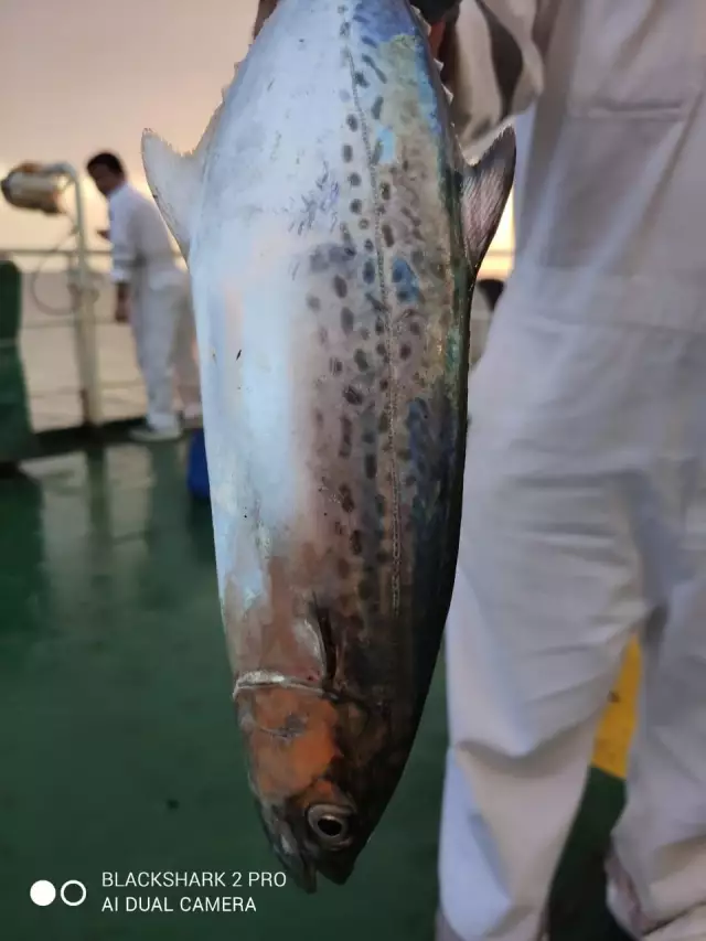
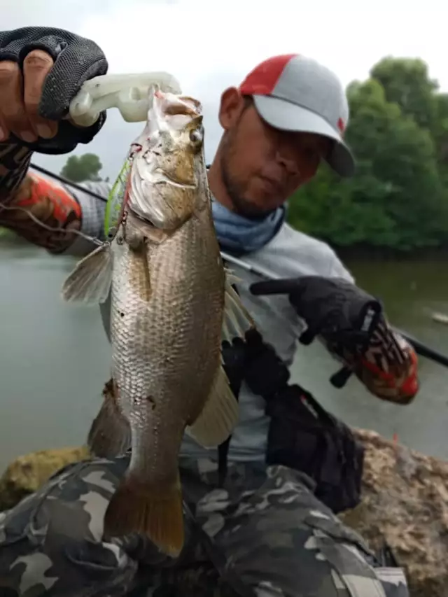
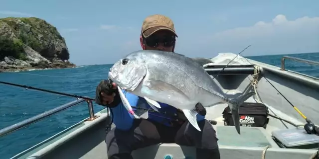
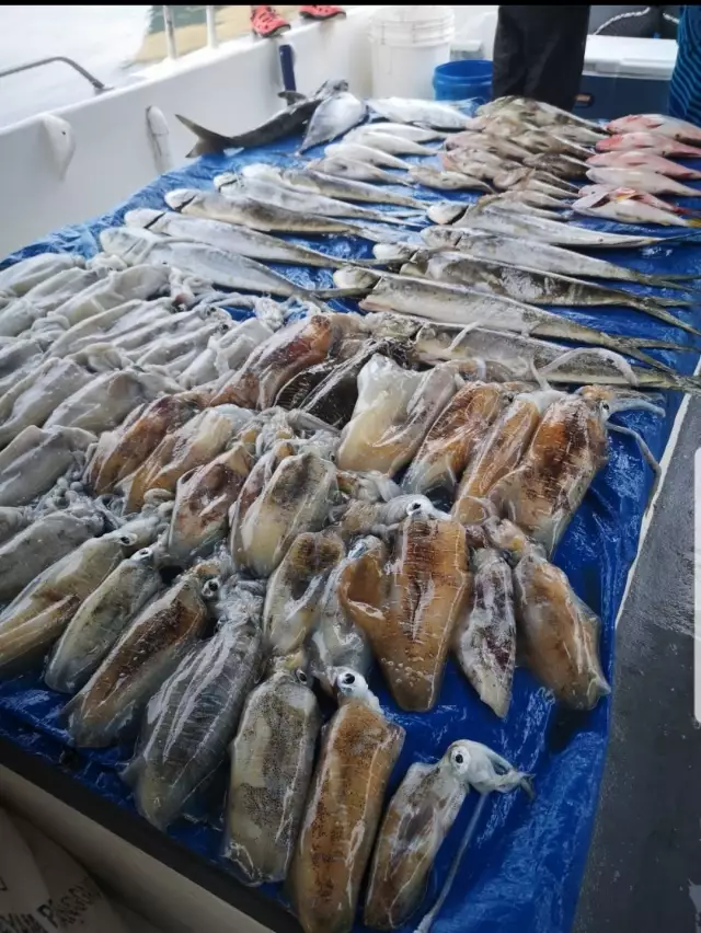
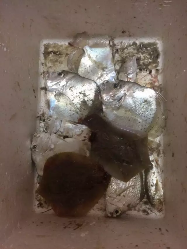
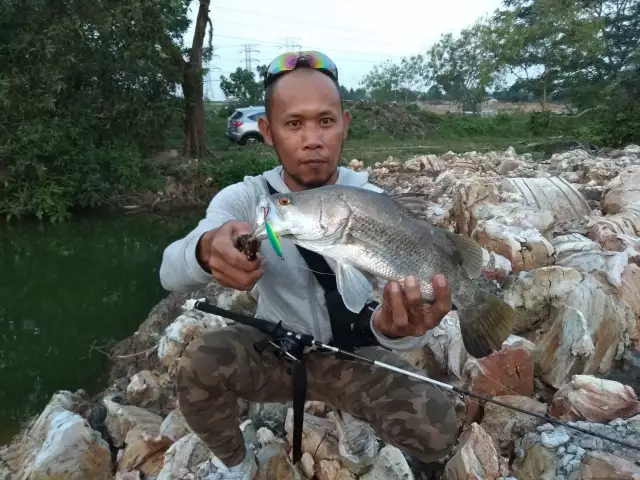
Latest Catches
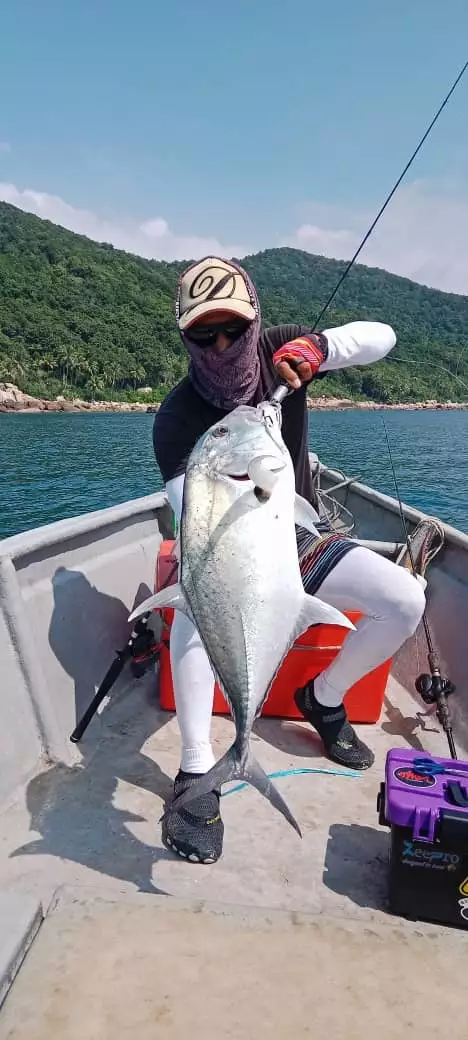
uploaded by: Abarai Renji
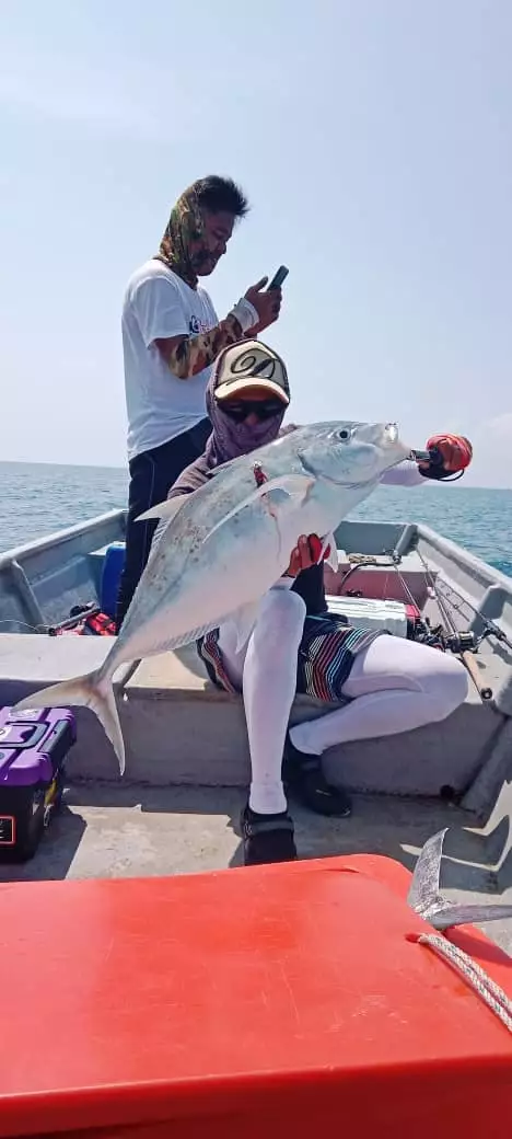
uploaded by: Abarai Renji
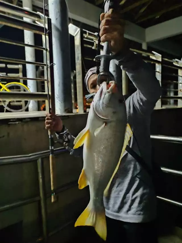
uploaded by: Abarai Renji
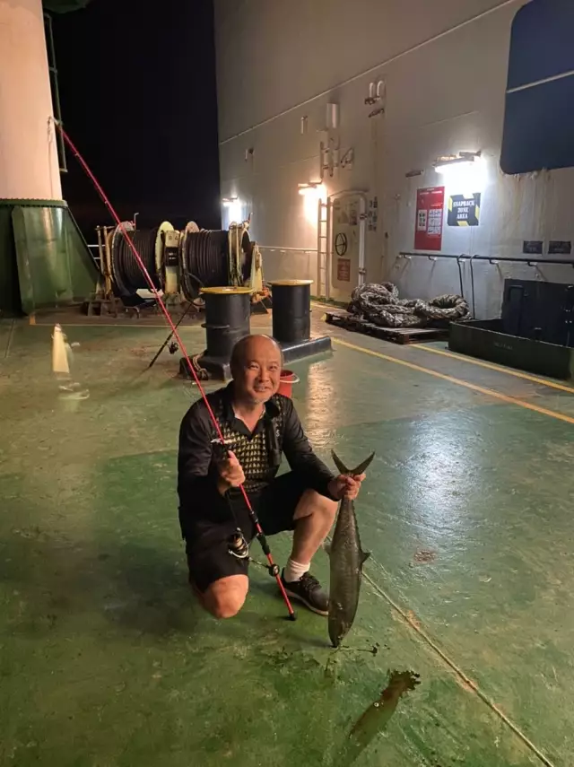
uploaded by: jansoong
uploaded by: jansoong
uploaded by: Abarai Renji
uploaded by: Abarai Renji
uploaded by: Kranken74
uploaded by: Azbro Brons
uploaded by: Abarai Renji

")

Comments