How to use our fishing calendar
Planning your next fishing trip in Hạ Long, Vietnam ? Today is a poor day for fishing. Our comprehensive fishing almanac combines our popular solunar bite times, moon times, sunrise and sunset times, and a 7-day fishing calendar so you always know the best fishing times in your area. We analyse major and minor solunar bite times, rate each day on a five-star scale, and pair it with localized weather forecasts so you can quickly tell whether today is a good day to fish without juggling multiple tabs. Be sure to bookmark this page so you never miss a bite. view bite times...
- Check our unique Solunar Clock for precise solunar bite times and the best moon phases.
- Use the forecast calendar section to sync bite times with major weather changes.
- Analyze the forecasted weather conditions, such as wind, barometric pressure and rain to plan your fishing session.
- Jump to the 7-Day Fishing Calendar for an extended fishing forecast, then explore nearby fishing spots on the interactive map.
Sun and Moon Times
-
Nautical Twilight begins:Sunrise:
-
Sunset:Nautical Twilight ends:
-
Moonrise:
-
Moonset:
-
Moon over:
-
Moon under:
-
Visibility:43%
-
 First Quarter Moon
-
Distance to earth:383,529 kmProximity:52 %
Moon Phases for Hạ Long
-
poor Day
-
major Time:
 04:00 am -
06:00 am
04:00 am -
06:00 am
-
minor Time:10:16 am - 12:16 pm
-
major Time:04:27 pm - 06:27 pm
-
minor Time:10:38 pm - 12:38 am
Current Fishing Weather
Wind Speed and Direction
Wind Direction:
Wind Speed:
Wind Direction and Speed are one of the most important aspects for choosing a fishing spot. An offshore wind can help land-based anglers with longer casting distances, while an onshore wind will make kayak fishing safer. Often fish will also move to certain feeding areas depending on the wind direction. Check out the long term wind forecast at the charts below.
Fishing Barometer
Atmospheric Pressure:
Change since midnight:
Trend for next 6 hours:
Atmospheric or Barometric Pressure affects fish activity. The best fishing can be had on a rising barometer and also the time just before it is falling. A steady barometer in the higher ranges can also mean good fishing. A falling or low barometer reading without much change is usually not a very good time for fishing.
UV Effect on Fishing
As a rule of thumb, the higher the UV index, the deeper fish will move. Shallow water fishing is best done at times with a low UV index. When the UV is high, stick to early mornings, late evenings and shaded areas. The effect is less noticable in deeper water, but often a higher UV index can produce good results in the deep.
7 Day Fishing Weather
| Date | Major Bite Times | Minor Bite Times | Sun | Moon | Moonphase |
|---|---|---|---|---|---|
|
|
-
-
|
-
-
|
R: S: |
R: S: |
First Quarter Moon |
|
|
-
-
|
-
-
|
R: S: |
R: S: |
First Quarter Moon |
|
|
-
-
|
-
-
|
R: S: |
R: S: |
First Quarter Moon |
|
|
-
-
|
-
-
|
R: S: |
R: S: |
First Quarter Moon |
|
|
-
-
|
-
-
|
R: S: |
R: S: |
Waxing Gibbous |
|
|
-
-
|
-
-
|
R: S: |
R: S: |
Waxing Gibbous |
|
|
-
-
|
-
-
|
R: S: |
R: S: |
Waxing Gibbous |
|
|
-
-
|
-
-
|
R: S: |
R: S: |
Waxing Gibbous |
Interactive Fishing Map for the greater Hạ Long area
Harbours and Marinas can often times be productive fishing spots for land based fishing as their sheltered environment attracts a wide variety of bait fish. Similar to river mouths, harbour entrances are also great places to fish as lots of fish will move in and out with the rising and falling tides. There are 1 main harbours in this area.
Port Courbet - 3.70624516064km
We found a total of 40 potential fishing spots nearby Hạ Long. Below you can find them organized on a map. Points, Headlands, Reefs, Islands, Channels, etc can all be productive fishing spots. As these are user submitted spots, there might be some errors in the exact location. You also need to cross check local fishing regulations. Some of the spots might be in or around marine reserves or other locations that cannot be fished. If you click on a location marker it will bring up some details and a quick link to google search, satellite maps and fishing times. Tip: Click/Tap on a new area to load more fishing spots.
Cửa Lục - 1.27637855394km , Île du Chenal - 2.01914808984km , Île du Repère - 2.16058268139km , Port Courbet - 3.70624516064km , Île aux Buissons - 3.94046082648km , Vịnh Hạ Long - 5.87921206496km , Hòn Đầu Gỗ - 7.30819254184km , Île des Merveilles - 7.36904856288km , Hòn Vạy Trong - 8.23599776991km , Hòn Gà Chọi - 8.26474896981km , Chenal de l’Hamelin - 8.69037306147km , Hòn Vên - 8.79231171593km , Pointe des Mines - 8.90490425872km , Hòn Dom Giữa - 8.91004683707km , Hòn Hang Sò - 8.9778798476km , Hòn Dầm Bắc - 8.99239215558km , Hòn Vạn Bội - 9.41544269451km , Île aux Cerfs - 9.55398580858km , Hòn Dâm Nam - 9.68947657009km , Le Nid - 9.73427058745km , Hòn Gồm Giữa - 10.10965912436km , Île des Trois Sommets - 10.16772982688km , Hòn Bóng - 10.35669150538km , Île Pyramide - 10.65190417459km , Hòn Bồng A - 10.94387448987km , Île de la Surprise - 11.46155506123km , L’Arche - 11.46155506123km , Hòn Bồ Hòn - 11.59594714324km , Hòn Cổ Ngựa - 11.69490391738km , Hòn Vụng Ba Cửa - 11.83387731191km , Hòn Bom Mê - 12.15151674099km , Hòn Lão Câu - 12.16748978944km , Hòn Chân Voi - 13.04554514583km , Hòn Bui Xám - 13.52283452142km , Hòn Lờm Bò - 13.9006280467km , Pointe aux Crabes - 13.99512981375km , Hòn Nẻ Môi - 14.21695941205km , Le Dragon - 14.39012989739km , Île de La Pérouse - 14.9050151595km , Chenal du Château Renaud - 15.02579013095km
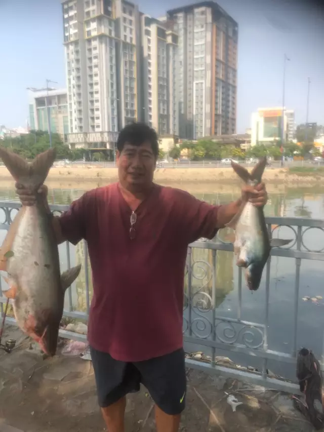
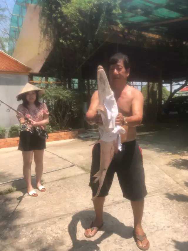
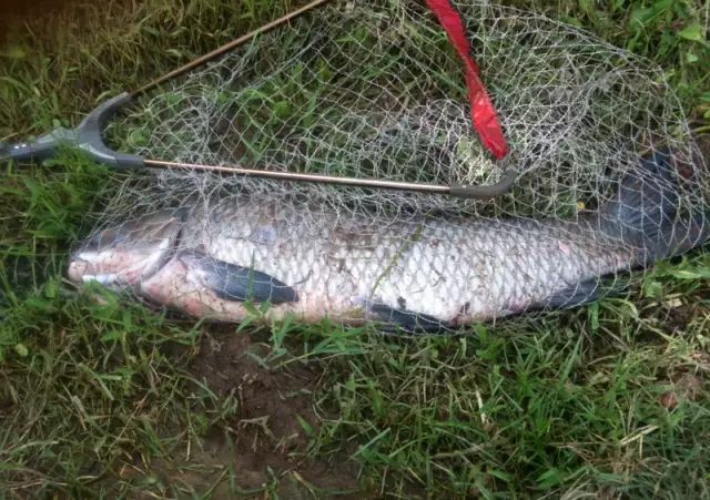
Latest Catches
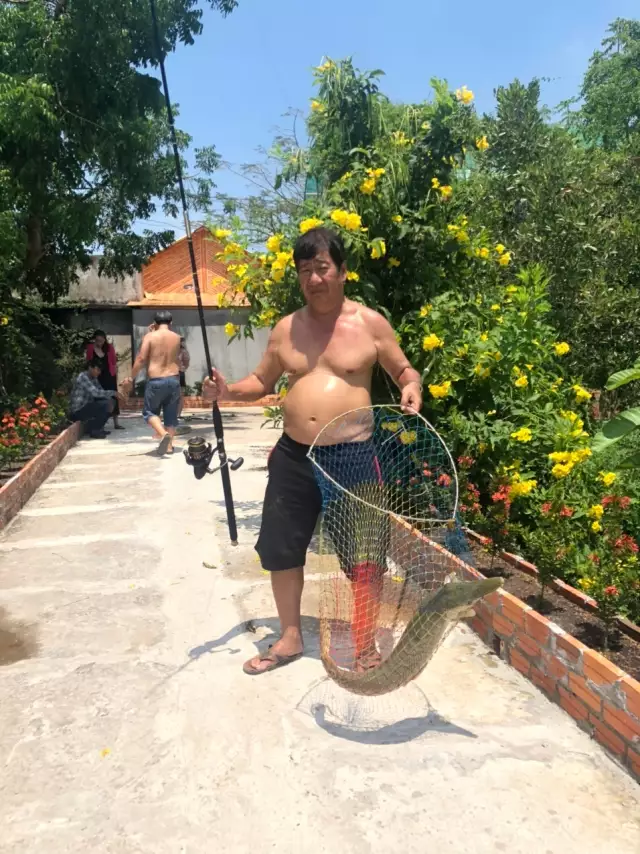
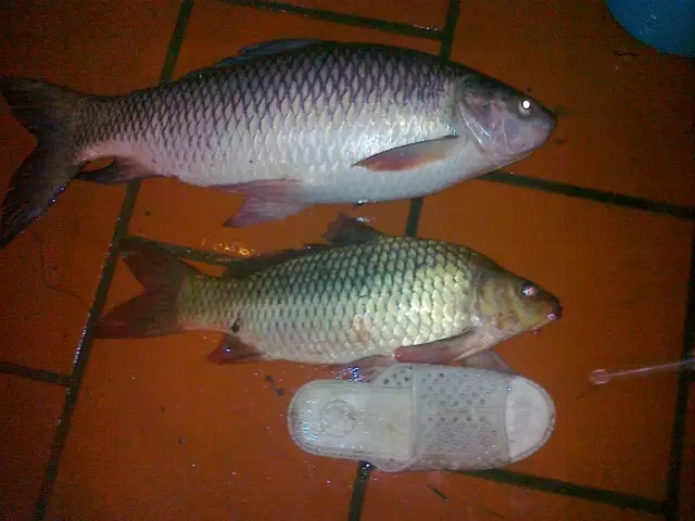
uploaded by: vituan
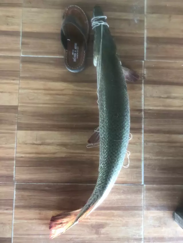
uploaded by: vituan
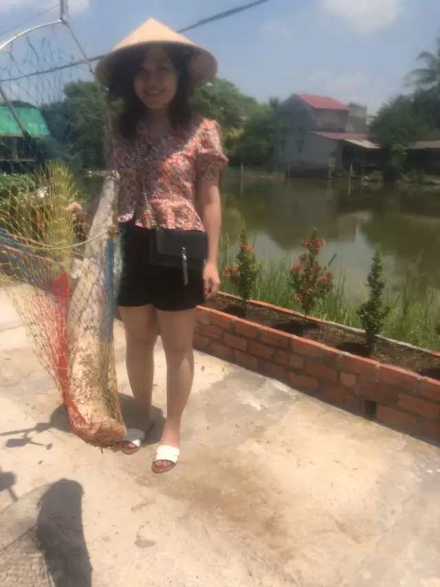
uploaded by: vituan
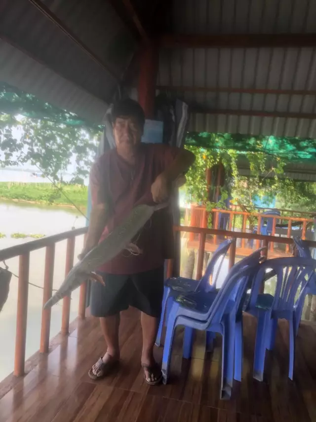
uploaded by: vituan
uploaded by: vituan
uploaded by: vituan
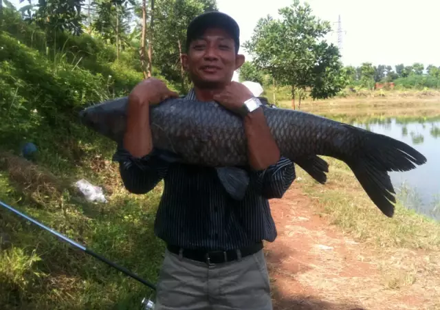
uploaded by: Babetta
uploaded by: Babetta
uploaded by: rabbit

")

Comments