Royal National Park 🇦🇺
-
Nautical Twilight begins:05:44 amSunrise:06:39 am
-
Sunset:05:23 pmNautical Twilight ends:06:18 pm
-
Moonrise:06:19 pm
-
Moonset:07:14 am
-
Moon over:12:12 am
-
Moon under:12:46 pm
-
Visibility:99%
-
 Full Moon
-
Distance to earth:378,922 kmProximity:62.9 %
Moon Phases for Royal National Park
-
average Day
-
minor Time:
 06:14 am -
08:14 am
06:14 am -
08:14 am
-
major Time:11:46 am - 01:46 pm
-
minor Time:05:19 pm - 07:19 pm
-
major Time:11:12 pm - 01:12 am
Tide Clock
Tide Graph
Times
| Tide | Time | Height |
|---|---|---|
| low | 02:57 am | 0.52 ft |
| high | 08:55 am | 4.17 ft |
| low | 02:28 pm | 1.21 ft |
| high | 08:53 pm | 5.84 ft |
| Date | Major Bite Times | Minor Bite Times | Sun | Moon | Moonphase | Tide Times |
|---|---|---|---|---|---|---|
|
Sun, 10 Aug
|
11:46 am -
01:46 pm
11:12 pm -
01:12 am
|
06:14 am -
08:14 am
05:19 pm -
07:19 pm
|
R: 06:39 am S: 05:23 pm |
R: 06:19 pm S: 07:14 am |
Full Moon |
low: 02:57 am
, 0.52 ft
high: 08:55 am
, 4.17 ft
, Coeff: 57
low: 02:28 pm
, 1.21 ft
high: 08:53 pm
, 5.84 ft
, Coeff: 111
|
|
Mon, 11 Aug
|
12:01 am -
02:01 am
12:35 pm -
02:35 pm
|
06:44 am -
08:44 am
06:26 pm -
08:26 pm
|
R: 06:38 am S: 05:24 pm |
R: 07:26 pm S: 07:44 am |
Full Moon |
low: 03:33 am
, 0.46 ft
high: 09:34 am
, 4.36 ft
, Coeff: 63
low: 03:14 pm
, 1.08 ft
high: 09:36 pm
, 5.71 ft
, Coeff: 107
|
|
Tue, 12 Aug
|
12:48 am -
02:48 am
01:22 pm -
03:22 pm
|
07:12 am -
09:12 am
07:33 pm -
09:33 pm
|
R: 06:37 am S: 05:25 pm |
R: 08:33 pm S: 08:12 am |
Waning Gibbous |
low: 04:10 am
, 0.49 ft
high: 10:14 am
, 4.49 ft
, Coeff: 67
low: 04:02 pm
, 1.02 ft
high: 10:20 pm
, 5.45 ft
, Coeff: 98
|
|
Wed, 13 Aug
|
01:35 am -
03:35 am
02:10 pm -
04:10 pm
|
07:40 am -
09:40 am
08:41 pm -
10:41 pm
|
R: 06:36 am S: 05:25 pm |
R: 09:41 pm S: 08:40 am |
Waning Gibbous |
low: 04:49 am
, 0.62 ft
high: 10:57 am
, 4.63 ft
, Coeff: 72
low: 04:54 pm
, 1.08 ft
high: 11:08 pm
, 5.05 ft
, Coeff: 86
|
|
Thu, 14 Aug
|
02:40 am -
04:40 am
03:00 pm -
05:00 pm
|
08:10 am -
10:10 am
09:50 pm -
11:50 pm
|
R: 06:35 am S: 05:26 pm |
R: 10:50 pm S: 09:10 am |
Waning Gibbous |
low: 05:30 am
, 0.85 ft
high: 11:44 am
, 4.72 ft
, Coeff: 75
low: 05:52 pm
, 1.21 ft
|
|
Fri, 15 Aug
|
03:31 am -
05:31 am
03:51 pm -
05:51 pm
|
08:42 am -
10:42 am
11:01 pm -
01:01 am
|
R: 06:34 am S: 05:27 pm |
R: - S: 09:42 am |
Third Quarter Moon |
high: 12:01 am
, 4.59 ft
, Coeff: 71
low: 06:14 am
, 1.12 ft
high: 12:38 pm
, 4.79 ft
, Coeff: 77
low: 07:00 pm
, 1.38 ft
|
|
Sat, 16 Aug
|
04:10 am -
06:10 am
04:46 pm -
06:46 pm
|
09:19 am -
11:19 am
11:01 pm -
01:01 am
|
R: 06:33 am S: 05:28 pm |
R: 12:01 am S: 10:19 am |
Third Quarter Moon |
high: 01:01 am
, 4.13 ft
, Coeff: 55
low: 07:04 am
, 1.41 ft
high: 01:40 pm
, 4.89 ft
, Coeff: 80
low: 08:20 pm
, 1.48 ft
|


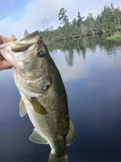
uploaded by: Alan Baker

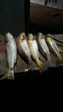
uploaded by: Granpa C
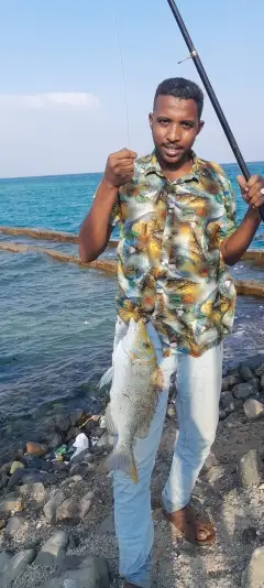
uploaded by: Asaad S Shalbi

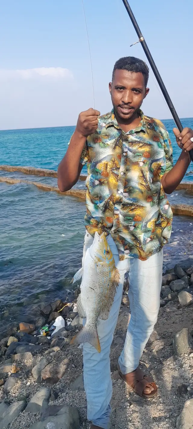
uploaded by: Hoza

uploaded by: Hoza

uploaded by: Eric Dixon_1

uploaded by: Eric Dixon_1

uploaded by: Joey Piercefield

uploaded by: Joey Piercefield

uploaded by: Joey Piercefield
Best Fishing Spots in the greater Royal National Park area
Wharf's or Jetties are good places to wet a line and meet other fishermen. They often produce a fresh feed of fish and are also great to catch bait fish. As they are often well lit, they also provide a good opportunity for night fishing. There are 1 wharf(s) in this area.
Cronulla Wharf - 10km
Beaches and Bays are ideal places for land-based fishing. If the beach is shallow and the water is clear then twilight times are usually the best times, especially when they coincide with a major or minor fishing time. Often the points on either side of a beach are the best spots. Or if the beach is large then look for irregularities in the breaking waves, indicating sandbanks and holes. We found 46 beaches and bays in this area.
Mansion Bay - 5km , Wants Beach - 5km , Wattamolla Beach - 5km , Gooseberry Bay - 5km , Leg of Mutton Bay - 5km , Garie Beach - 6km , Marley Beach - 6km , Fishermans Bay - 6km , Dolans Bay - 7km , Simpsons Bay - 7km , Great Turriel Bay - 7km , Gannons Bay - 7km , Gymea Bay - 8km , Yowie Bay - 8km , Burraneer Bay - 8km , Hordern Beach - 8km , Bundeena Bay - 8km , Ewey Bay - 8km , Gunyah Beach - 8km , Gunnamatta Bay - 9km , Salmon Haul Bay - 9km , Blackwoods Beach - 9km , Shelly Beach - 9km , Jibbon Beach - 10km , Bate Bay - 11km , Elouera Beach - 11km , Woolooware Bay - 12km , Scylla Bay - 12km , Gwawley Bay - 12km , Bulgo Beach - 12km , Wanda Beach - 12km , Cronulla Beach - 13km , Shipwrights Bay - 13km , Gungah Bay - 13km , Oyster Bay - 13km , Bonnet Bay - 13km , Audrey Bay - 13km , Hurstville Bay - 13km , Connels Bay - 13km , Froghollow Bay - 13km , Thompsons Bay - 13km , Double Bay - 13km , Carina Bay - 13km , Coronation Bay - 13km , Neverfail Bay - 13km , Wearne Bay - 13km
Harbours and Marinas can often times be productive fishing spots for land based fishing as their sheltered environment attracts a wide variety of bait fish. Similar to river mouths, harbour entrances are also great places to fish as lots of fish will move in and out with the rising and falling tides. There are 2 main harbours in this area.
Port Hacking - 8km, Port Hacking Point - 10km
We found a total of 97 potential fishing spots nearby Royal National Park. Below you can find them organized on a map. Points, Headlands, Reefs, Islands, Channels, etc can all be productive fishing spots. As these are user submitted spots, there might be some errors in the exact location. You also need to cross check local fishing regulations. Some of the spots might be in or around marine reserves or other locations that cannot be fished. If you click on a location marker it will bring up some details and a quick link to google search, satellite maps and fishing times. Tip: Click/Tap on a new area to load more fishing spots.
Point Danger - 5km , Grays Point - 5km , Mansion Point - 5km , Mansion Bay - 5km , Wants Beach - 5km , Wattamolla Beach - 5km , Gooseberry Bay - 5km , Leg of Mutton Bay - 5km , Garie Beach - 6km , South West Arm - 6km , Costens Point - 6km , Grahams Point - 6km , Gogerlys Point - 6km , Wants Point - 6km , Lilli Pilli Point - 6km , Marley Beach - 6km , Marley Lagoon - 6km , Fishermans Bay - 6km , Lightning Point - 7km , North West Arm - 7km , Yowie Point - 7km , Willarong Point - 7km , Turriell Point - 7km , Red Jacks Point - 7km , Yenabilli Point - 7km , Deeban Spit - 7km , Dolans Bay - 7km , Simpsons Bay - 7km , Great Turriel Bay - 7km , Gannons Bay - 7km , Gymea Bay - 8km , Yowie Bay - 8km , Constables Point - 8km , Burraneer Bay - 8km , Burraneer Point - 8km , Hungry Point - 8km , Pulpit Point - 8km , Cabbage Tree Point - 8km , Hordern Beach - 8km , Bundeena Bay - 8km , Ewey Bay - 8km , Gunyah Beach - 8km , Port Hacking - 8km , Gunnamatta Bay - 9km , Glaisher Point - 9km , Woronora Weir - 9km , Salmon Haul - 9km , Salmon Haul Bay - 9km , Blackwoods Beach - 9km , Shelly Beach - 9km , Jibbon Beach - 10km , Port Hacking Point - 10km , Jibbon Lagoon - 10km , Rock Islet - 10km , Cronulla Wharf - 10km , Bate Bay - 11km , Sandy Point - 11km , Elouera Beach - 11km , Green Point - 12km , Pelican Point - 12km , Woolooware Bay - 12km , Shell Point - 12km , Caravan Head - 12km , Scylla Bay - 12km , Gwawley Bay - 12km , Lake Woronora - 12km , Bulgo Beach - 12km , Wanda Beach - 12km , Woronora Dam - 12km , Tom Uglys Point - 13km , Cronulla Beach - 13km , Taren Point - 13km , Shipwrights Bay - 13km , Bald Face Point - 13km , Kangaroo Point - 13km , Mangrove Island - 13km , Gungah Bay - 13km , Bonnet Head - 13km , Tom Uglys Bridge - 13km , Shag Point - 13km , Horse Rock Point - 13km , Oyster Bay - 13km , Bonnet Bay - 13km , Georges Head - 13km , Captain Cook Bridge - 13km , Audrey Bay - 13km , Hurstville Bay - 13km , Connels Bay - 13km , Froghollow Bay - 13km , Thompsons Bay - 13km , Double Bay - 13km , Carina Bay - 13km , Coronation Bay - 13km , Neverfail Bay - 13km , Wearne Bay - 13km , Rocky Point - 14km , Carters Island - 14km
Comments