How to use our fishing calendar
Planning your next fishing trip in Media Luna, Cuba ? Today is a good day for fishing. Our comprehensive fishing almanac combines our popular solunar bite times, moon times, sunrise and sunset times, nearby tide tables, and a 7-day fishing calendar so you always know the best fishing times in your area. We analyse major and minor solunar bite times, rate each day on a five-star scale, and pair it with localized weather forecasts so you can quickly tell whether today is a good day to fish without juggling multiple tabs. Be sure to bookmark this page so you never miss a bite. view bite times...
- Check our unique Solunar Clock for precise solunar bite times and the best moon phases.
- Use the Tide Clock section to sync bite times with high and low tide tables.
- Analyze the forecasted weather conditions, such as wind, barometric pressure and rain to plan your fishing session.
- Jump to the 7-Day Fishing Calendar for an extended fishing forecast, then explore nearby fishing spots on the interactive map.
Sun and Moon Times
-
Nautical Twilight begins:Sunrise:
-
Sunset:Nautical Twilight ends:
-
Moonrise:
-
Moonset:
-
Moon over:
-
Moon under:
-
Visibility:17%
-
 Waxing Crescent
-
Distance to earth:371,759 kmProximity:79.7 %
Moon Phases for Media Luna
-
good Day
-
major Time:03:17 am - 05:17 am
-
minor Time:09:11 am - 11:11 am
-
major Time:03:48 pm - 05:48 pm
-
minor Time:10:26 pm - 12:26 am
Tides Times for Fishing: Thu, 18 Jun
Tide Clock
Tide Graph
Times
| Tide | Time | Height |
|---|---|---|
| high | 12:54 am | 1.38 ft |
| low | 07:36 am | 0.23 ft |
| high | 12:28 pm | 0.66 ft |
| low | 06:34 pm | -0.16 ft |
Current Fishing Weather
Wind Speed and Direction
Wind Direction:
Wind Speed:
Wind Direction and Speed are one of the most important aspects for choosing a fishing spot. An offshore wind can help land-based anglers with longer casting distances, while an onshore wind will make kayak fishing safer. Often fish will also move to certain feeding areas depending on the wind direction. Check out the long term wind forecast at the charts below.
Fishing Barometer
Atmospheric Pressure:
Change since midnight:
Trend for next 6 hours:
Atmospheric or Barometric Pressure affects fish activity. The best fishing can be had on a rising barometer and also the time just before it is falling. A steady barometer in the higher ranges can also mean good fishing. A falling or low barometer reading without much change is usually not a very good time for fishing.
UV Effect on Fishing
As a rule of thumb, the higher the UV index, the deeper fish will move. Shallow water fishing is best done at times with a low UV index. When the UV is high, stick to early mornings, late evenings and shaded areas. The effect is less noticable in deeper water, but often a higher UV index can produce good results in the deep.
7 Day Fishing Weather
| Date | Major Bite Times | Minor Bite Times | Sun | Moon | Moonphase | Tide Times |
|---|---|---|---|---|---|---|
|
|
-
-
|
-
-
|
R: S: |
R: S: |
Waxing Crescent |
high:
, 1.41 ft
, Coeff: 173
low:
, 0.23 ft
high:
, 0.62 ft
, Coeff: 32
low:
, -0.3 ft
|
|
|
-
-
|
-
-
|
R: S: |
R: S: |
Waxing Crescent |
high:
, 1.38 ft
, Coeff: 167
low:
, 0.23 ft
high:
, 0.66 ft
, Coeff: 38
low:
, -0.16 ft
|
|
|
-
-
|
-
-
|
R: S: |
R: S: |
Waxing Crescent |
high:
, 1.28 ft
, Coeff: 149
low:
, 0.2 ft
high:
, 0.72 ft
, Coeff: 49
low:
, 0 ft
|
|
|
-
-
|
-
-
|
R: S: |
R: S: |
First Quarter Moon |
high:
, 1.18 ft
, Coeff: 132
low:
, 0.13 ft
high:
, 0.79 ft
, Coeff: 61
low:
, 0.16 ft
|
|
|
-
-
|
-
-
|
R: S: |
R: S: |
First Quarter Moon |
high:
, 1.05 ft
, Coeff: 108
low:
, 0.1 ft
high:
, 0.89 ft
, Coeff: 79
low:
, 0.26 ft
|
|
|
-
-
|
-
-
|
R: S: |
R: S: |
First Quarter Moon |
high:
, 0.92 ft
, Coeff: 85
low:
, 0.03 ft
high:
, 0.98 ft
, Coeff: 96
low:
, 0.36 ft
|
|
|
-
-
|
-
-
|
R: S: |
R: S: |
First Quarter Moon |
high:
, 0.79 ft
, Coeff: 61
low:
, -0 ft
high:
, 1.05 ft
, Coeff: 108
|
|
|
-
-
|
-
-
|
R: S: |
R: S: |
Waxing Gibbous |
low:
, 0.39 ft
high:
, 0.66 ft
, Coeff: 38
low:
, -0.07 ft
high:
, 1.08 ft
, Coeff: 114
|
Interactive Fishing Map for the greater Media Luna area
We found a total of 40 potential fishing spots nearby Media Luna. Below you can find them organized on a map. Points, Headlands, Reefs, Islands, Channels, etc can all be productive fishing spots. As these are user submitted spots, there might be some errors in the exact location. You also need to cross check local fishing regulations. Some of the spots might be in or around marine reserves or other locations that cannot be fished. If you click on a location marker it will bring up some details and a quick link to google search, satellite maps and fishing times. Tip: Click/Tap on a new area to load more fishing spots.
Río Vicana - 2.14934862398km , Punta Manacal - 3.58549090172km , Punta Martillo - 3.90075553911km , Río Tana - 4.69932876462km , Río Macaca - 5.02256702651km , Boca del Río Macaca - 5.13213109582km , Río Sibama - 5.62887828034km , Punta América - 6.73793901132km , Punta Cuchillo - 9.24853810502km , Boca del Río Sevilla - 10.89839226135km , Río Sevilla - 10.93827630207km , Río Jo - 12.79814468531km , Ciénaga Manáguano - 14.99111100771km , Punta Bote - 15.24049422439km , Canal de Balandras - 16.19179366789km , Pasa Piragua - 16.82757144765km , Cayo Piragua - 16.93641671233km , Punta Hicaco - 17.44418853987km , Bahía de Niquero - 17.4821198281km , Cayos Uvas - 17.6338534738km , Cayo Cocos - 17.86530094177km , Cayos Piraguas - 17.90349780063km , Cayo Antonia - 18.07172332812km , Callahara - 18.24519301666km , Cayos Balandias - 19.37266768787km , Cayo Niquero - 19.956862295km , Punta de Niquero - 20.16777242831km , Cuatro Canalizos - 20.94358634402km , Cayo Pajáros - 22.78716612991km , Cayo Palomino - 22.99800288612km , Punta Coloraditas - 23.47558255947km , Cayos Azuagas - 23.60118701315km , Río Lorenzo Díaz - 24.41816833139km , Punta de Guá - 24.82941088634km , Canal de Palomino - 24.85253799943km , Pasa Azuaga - 24.85592489963km , Paso de Chinchorro - 25.35286635044km , Cayo Blanco - 25.41864166712km , Punta Cachón - 25.68058824101km , Río Jibacoa - 25.71966113202km
Latest Catches
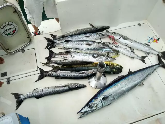
uploaded by: gresemike
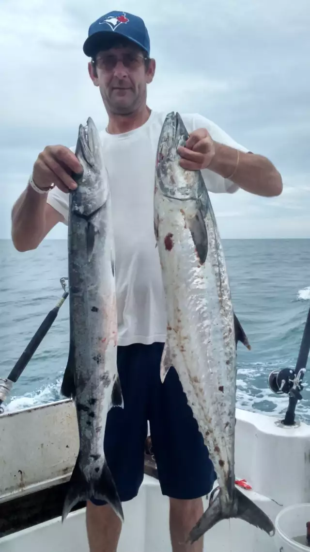
uploaded by: gresemike
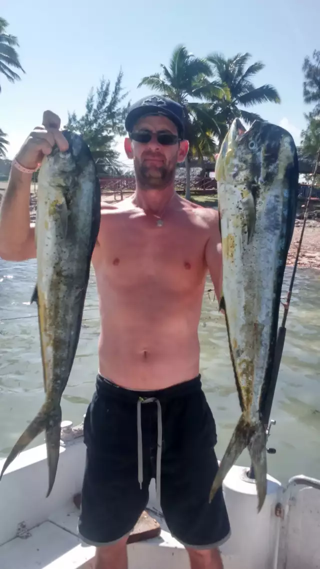
uploaded by: gresemike

")

Comments