


How to use our fishing calendar
Planning your next fishing trip in La Lima, Honduras near San Pedro Sula ? Today is a poor day for fishing. Our comprehensive fishing almanac combines our popular solunar bite times, moon times, sunrise and sunset times, nearby tide tables, and a 7-day fishing calendar so you always know the best fishing times in your area. We analyse major and minor solunar bite times, rate each day on a five-star scale, and pair it with localized weather forecasts so you can quickly tell whether today is a good day to fish without juggling multiple tabs. Be sure to bookmark this page so you never miss a bite. view bite times...
- Check our unique Solunar Clock for precise solunar bite times and the best moon phases.
- Use the Tide Clock section to sync bite times with high and low tide tables.
- Analyze the forecasted weather conditions, such as wind, barometric pressure and rain to plan your fishing session.
- Jump to the 7-Day Fishing Calendar for an extended fishing forecast, then explore nearby fishing spots on the interactive map.
Sun and Moon Times
-
Nautical Twilight begins:Sunrise:
-
Sunset:Nautical Twilight ends:
-
Moonrise:
-
Moonset:
-
Moon over:
-
Moon under:
-
Visibility:77%
-
 Waxing Gibbous
-
Distance to earth:398,905 kmProximity:15.9 %
Moon Phases for La Lima
-
poor Day
-
minor Time:12:10 am - 02:10 am
-
major Time:06:41 am - 08:41 am
-
minor Time:01:12 pm - 03:12 pm
-
major Time:07:07 pm - 09:07 pm
Tides Times for Fishing: Wed, 24 Jun
Tide Clock
Tide Graph
Times
| Tide | Time | Height |
|---|---|---|
| high | 04:32 am | 0.66 ft |
| low | 12:17 pm | 0.03 ft |
| high | 06:23 pm | 0.36 ft |
| low | 11:10 pm | 0.23 ft |
Current Fishing Weather
Wind Speed and Direction
Wind Direction:
Wind Speed:
Wind Direction and Speed are one of the most important aspects for choosing a fishing spot. An offshore wind can help land-based anglers with longer casting distances, while an onshore wind will make kayak fishing safer. Often fish will also move to certain feeding areas depending on the wind direction. Check out the long term wind forecast at the charts below.
Fishing Barometer
Atmospheric Pressure:
Change since midnight:
Trend for next 6 hours:
Atmospheric or Barometric Pressure affects fish activity. The best fishing can be had on a rising barometer and also the time just before it is falling. A steady barometer in the higher ranges can also mean good fishing. A falling or low barometer reading without much change is usually not a very good time for fishing.
UV Effect on Fishing
As a rule of thumb, the higher the UV index, the deeper fish will move. Shallow water fishing is best done at times with a low UV index. When the UV is high, stick to early mornings, late evenings and shaded areas. The effect is less noticable in deeper water, but often a higher UV index can produce good results in the deep.
7 Day Fishing Weather
| Date | Major Bite Times | Minor Bite Times | Sun | Moon | Moonphase | Tide Times |
|---|---|---|---|---|---|---|
|
|
-
-
|
-
-
|
R: S: |
R: S: |
First Quarter Moon |
high:
, 0.62 ft
, Coeff: 93
low:
, 0.07 ft
high:
, 0.36 ft
, Coeff: 20
low:
, 0.2 ft
|
|
|
-
-
|
-
-
|
R: S: |
R: S: |
Waxing Gibbous |
high:
, 0.66 ft
, Coeff: 102
low:
, 0.03 ft
high:
, 0.36 ft
, Coeff: 20
low:
, 0.23 ft
|
|
|
-
-
|
-
-
|
R: S: |
R: S: |
Waxing Gibbous |
high:
, 0.66 ft
, Coeff: 102
low:
, -0 ft
high:
, 0.36 ft
, Coeff: 20
low:
, 0.23 ft
|
|
|
-
-
|
-
-
|
R: S: |
R: S: |
Waxing Gibbous |
high:
, 0.69 ft
, Coeff: 111
low:
, -0.03 ft
high:
, 0.36 ft
, Coeff: 20
|
|
|
-
-
|
-
-
|
R: S: |
R: S: |
Waxing Gibbous |
low:
, 0.23 ft
high:
, 0.72 ft
, Coeff: 120
low:
, -0.03 ft
high:
, 0.36 ft
, Coeff: 20
|
|
|
-
-
|
-
-
|
R: S: |
R: S: |
Full Moon |
low:
, 0.23 ft
high:
, 0.72 ft
, Coeff: 120
low:
, -0.07 ft
high:
, 0.39 ft
, Coeff: 29
|
|
|
-
-
|
-
-
|
R: S: |
R: S: |
Full Moon |
low:
, 0.23 ft
high:
, 0.75 ft
, Coeff: 129
low:
, -0.07 ft
high:
, 0.39 ft
, Coeff: 29
|
|
|
-
-
|
-
-
|
R: S: |
R: S: |
Full Moon |
low:
, 0.2 ft
high:
, 0.75 ft
, Coeff: 129
low:
, -0.07 ft
high:
, 0.39 ft
, Coeff: 29
|
Interactive Fishing Map for the greater La Lima area
We found a total of 40 potential fishing spots nearby La Lima. Below you can find them organized on a map. Points, Headlands, Reefs, Islands, Channels, etc can all be productive fishing spots. As these are user submitted spots, there might be some errors in the exact location. You also need to cross check local fishing regulations. Some of the spots might be in or around marine reserves or other locations that cannot be fished. If you click on a location marker it will bring up some details and a quick link to google search, satellite maps and fishing times. Tip: Click/Tap on a new area to load more fishing spots.
Río Chotepe - 1.84347684411km , Río Blanco - 1.84347684411km , Laguna Jucutuma - 4.09962400731km , Quebrada La Puerta - 7.15467374879km , Río Chasnigua - 8.05075462798km , Laguna El Carmen - 9.12219555693km , Quebrada San Agustín - 9.39374935827km , Laguna Ticamaya - 9.89153437947km , Río Pelo - 11.59502394599km , Río Piedras - 12.07401376248km , Quebrada de Yoro - 12.52228891978km , Quebrada Camalote - 12.84775888109km , Crique Guanchía - 12.84775888109km , Río Chindonga - 14.42931051829km , Río Choloma - 14.75455369738km , Quebrada de El Plan - 14.86143581839km , Quebrada La Mina - 15.69958882991km , Quebrada Agua Blanca - 16.20431259223km , Quebrada Buenos Aires - 16.78981763181km , Río Nuevo - 19.27098631046km , Laguna Higuerito - 20.49725646907km , Laguna El Cerro - 20.55199679322km , Quebrada La Rosa - 20.59930827238km , Quebrada La Pita - 21.01697324088km , Crique San Roque - 22.13079079483km , Río Nance - 22.20284309458km , Crique Las Mangas - 22.20284309458km , Crique El Cuábano - 22.20292947734km , Quebrada Rancho Grande - 22.28872428214km , Quebrada Guanacas - 22.41793525816km , Quebrada de Agua - 22.77238492629km , Quebrada San Lorenzo - 23.90610374508km , Río Manchaguala - 23.90610374508km , Quebrada Aguacate - 23.90610374508km , Río Guaimitas - 24.1457467859km , Río Guaimas - 24.1457467859km , Río Bijao - 24.24070902508km , Quebrada Perico - 25.42999468243km , Río Palomas - 25.68824481868km , Río Naco - 26.11099175827km
Latest Catches
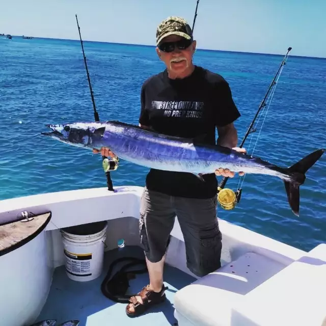
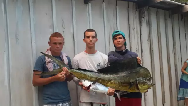
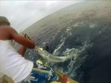
uploaded by: roatananglers
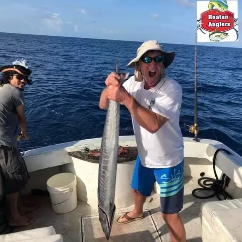
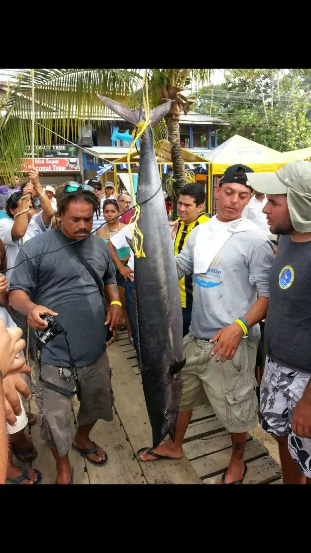
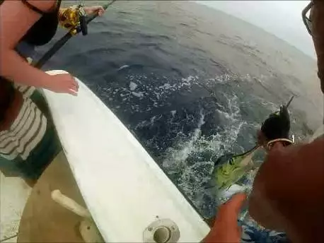
uploaded by: roatananglers
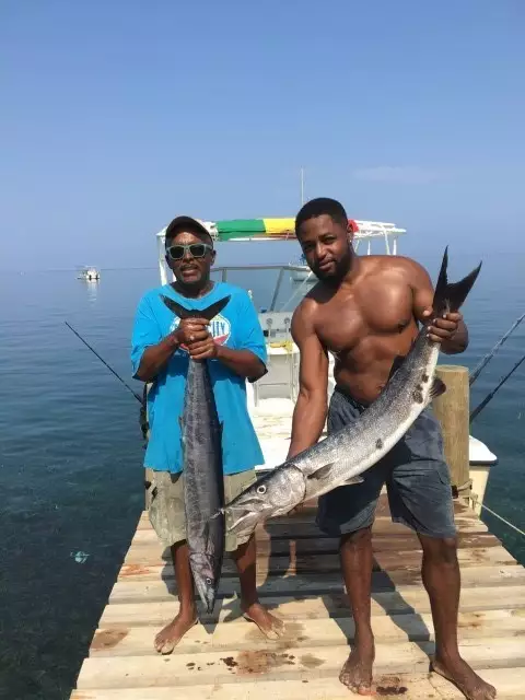
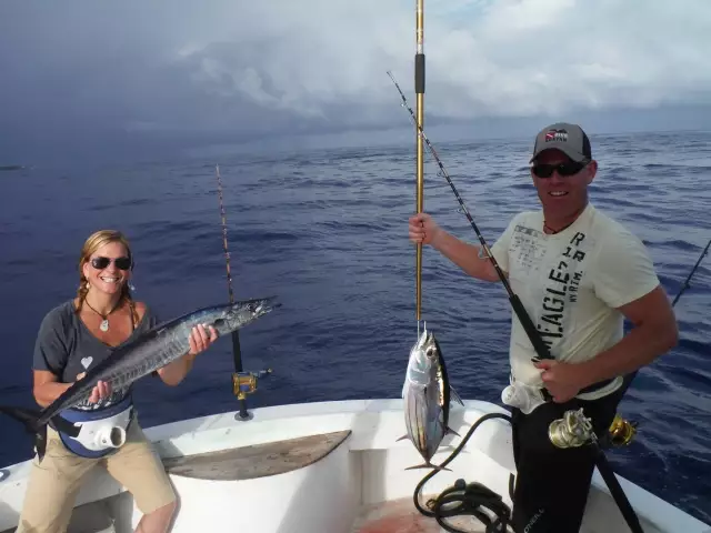
uploaded by: roatananglers
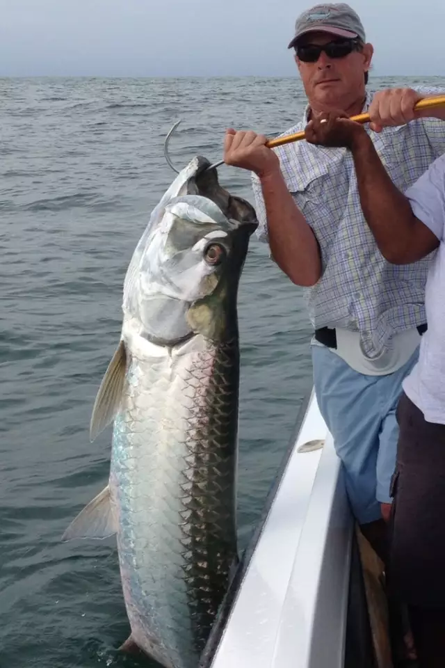
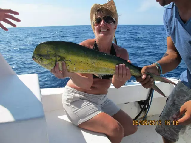
uploaded by: forrer
uploaded by: Keaton Hyde
uploaded by: runti
uploaded by: fishinghour
uploaded by: fishinghour
uploaded by: fishinghour
uploaded by: fishinghour

")

Comments