


-
Nautical Twilight begins:Sunrise:
-
Sunset:Nautical Twilight ends:
-
Moonrise:
-
Moonset:
-
Moon over:
-
Moon under:
-
Visibility:9%
-
 Waxing Crescent
-
Distance to earth:405,001 kmProximity:1.6 %
Moon Phases for Bermuda Run
-
excellent Day
-
major Time:01:55 am - 03:55 am
-
minor Time:09:41 am - 11:41 am
-
major Time:02:25 pm - 04:25 pm
-
minor Time:07:09 pm - 09:09 pm
Wind Speed and Direction
Wind Direction:
Wind Speed:
Wind Direction and Speed are one of the most important aspects for choosing a fishing spot. An offshore wind can help land-based anglers with longer casting distances, while an onshore wind will make kayak fishing safer. Often fish will also move to certain feeding areas depending on the wind direction. Check out the long term wind forecast at the charts below.
Fishing Barometer
Atmospheric Pressure:
Change since midnight:
Trend for next 6 hours:
Atmospheric or Barometric Pressure affects fish activity. The best fishing can be had on a rising barometer and also the time just before it is falling. A steady barometer in the higher ranges can also mean good fishing. A falling or low barometer reading without much change is usually not a very good time for fishing.
UV Effect on Fishing
As a rule of thumb, the higher the UV index, the deeper fish will move. Shallow water fishing is best done at times with a low UV index. When the UV is high, stick to early mornings, late evenings and shaded areas. The effect is less noticable in deeper water, but often a higher UV index can produce good results in the deep.
| Date | Major Bite Times | Minor Bite Times | Sun | Moon | Moonphase |
|---|---|---|---|---|---|
|
|
-
-
|
-
-
|
R: S: |
R: S: |
Waxing Crescent |
|
|
-
-
|
-
-
|
R: S: |
R: S: |
Waxing Crescent |
|
|
-
-
|
-
-
|
R: S: |
R: S: |
Waxing Crescent |
|
|
-
-
|
-
-
|
R: S: |
R: S: |
Waxing Crescent |
|
|
-
-
|
-
-
|
R: S: |
R: S: |
First Quarter Moon |
|
|
-
-
|
-
-
|
R: S: |
R: S: |
First Quarter Moon |
|
|
-
-
|
-
-
|
R: S: |
R: S: |
First Quarter Moon |
Best Fishing Spots in the greater Bermuda Run area
We found a total of 40 potential fishing spots nearby Bermuda Run. Below you can find them organized on a map. Points, Headlands, Reefs, Islands, Channels, etc can all be productive fishing spots. As these are user submitted spots, there might be some errors in the exact location. You also need to cross check local fishing regulations. Some of the spots might be in or around marine reserves or other locations that cannot be fished. If you click on a location marker it will bring up some details and a quick link to google search, satellite maps and fishing times. Tip: Click/Tap on a new area to load more fishing spots.
Skilpot Lake - 0.60417900967km , Fred Bahnson Number One Dam - 1.76389817201km , Fred Bahnson Number Two Dam - 1.83213737135km , Blanket Creek - 2.43679641278km , Haynes Estate Dam Number One - 2.45483130236km , Lasater Mill Pond Dam - 2.78958563843km , Sheek Creek - 2.97243819303km , Haynes Estate Dam Number Two - 3.02487172574km , Lasater Lake - 3.06522862178km , Idols Dam - 3.39199222086km , Carters Creek - 3.42348665732km , Ellison Creek - 5.58046440801km , Hauser Creek - 5.7891846286km , Salem Creek - 7.0467906269km , Lake Desmond Dam - 7.74053408517km , Lake Falmouth Dam - 7.87188467485km , Double Creek - 8.01361992357km , Fryes Creek - 8.02730615398km , Blacks Creek - 8.12295659016km , South Fork Muddy Creek - 8.18418397332km , Parker Lake Dam Number Two - 8.75558630198km , Cooper Lake Dam - 8.80132200455km , Loflin Lake Dam - 9.14127111002km , Whip-O-Will Farms Number One Dam - 10.14924051049km , Peoples Creek - 10.32775519877km , Danials-Davis Dam - 10.34899000323km , Reynolds Creek - 10.72365283259km , Caudle Branch - 11.04785834415km , Frost Mill Creek - 11.49780718467km , Reynolds Lake Dam - 11.62468779907km , Beauchamp Lake Dam - 11.66127075913km , Marshall Dam - 11.76557089844km , Roby Creek - 11.82784811379km , Noland Creek - 11.85695916239km , Bryant Branch - 11.90984048458km , Shamrock Farm Dam - 12.06643122892km , Durham Lake Dam - 12.14593929195km , Lower Janita Lake Dam - 12.34978834161km , Arnold Lake Dam - 12.60027338721km , Huffmans Creek - 12.65953292651km

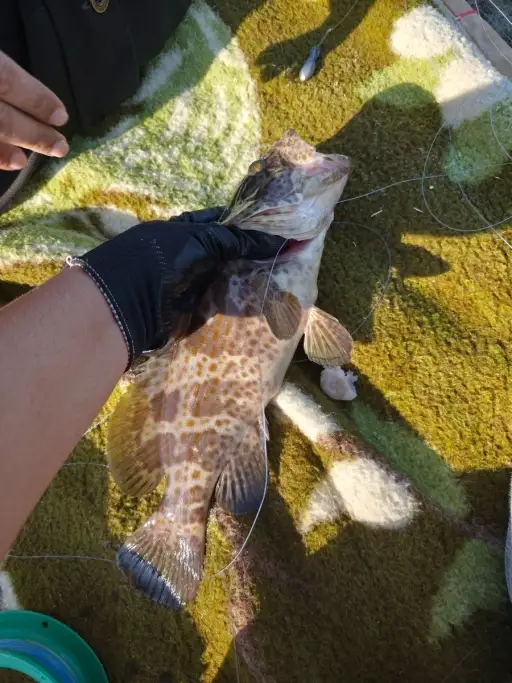
uploaded by: tajiran

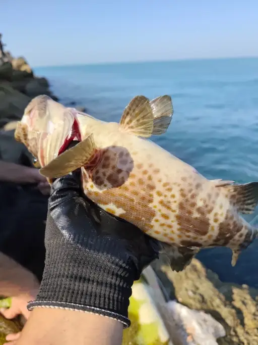
uploaded by: tajiran

uploaded by: tajiran

uploaded by: Charlie Pifer

uploaded by: Wet Patch

uploaded by: dazzling79

uploaded by: benoit johnson_1

uploaded by: benoit johnson_1

uploaded by: benoit johnson_1

uploaded by: Scott Bryant


Comments