


Bethune Beach 🇺🇸
-
Nautical Twilight begins:05:27 amSunrise:06:26 am
-
Sunset:08:27 pmNautical Twilight ends:09:26 pm
-
Moonrise:08:34 am
-
Moonset:10:45 pm
-
Moon over:03:39 pm
-
Moon under:03:06 am
-
Visibility:6%
-
 Waxing Crescent
-
Distance to earth:381,260 kmProximity:57.4 %
Moon Phases for Bethune Beach
-
excellent Day
-
major Time:02:06 am - 04:06 am
-
minor Time:07:34 am - 09:34 am
-
major Time:02:39 pm - 04:39 pm
-
minor Time:09:45 pm - 11:45 pm
Tide Clock
Tide Graph
Times
| Tide | Time | Height |
|---|---|---|
| low | 01:12 am | 3.61 ft |
| high | 06:14 am | 3.64 ft |
| low | 12:37 pm | 3.61 ft |
| high | 06:40 pm | 3.67 ft |
| Date | Major Bite Times | Minor Bite Times | Sun | Moon | Moonphase | Tide Times |
|---|---|---|---|---|---|---|
|
Fri, 27 Jun
|
02:06 am -
04:06 am
02:39 pm -
04:39 pm
|
07:34 am -
09:34 am
09:45 pm -
11:45 pm
|
R: 06:26 am S: 08:27 pm |
R: 08:34 am S: 10:45 pm |
Waxing Crescent |
low: 01:12 am
, 3.61 ft
high: 06:14 am
, 3.64 ft
, Coeff: 11
low: 12:37 pm
, 3.61 ft
high: 06:40 pm
, 3.67 ft
, Coeff: 12
|
|
Sat, 28 Jun
|
02:59 am -
04:59 am
03:30 pm -
05:30 pm
|
08:40 am -
10:40 am
10:21 pm -
12:21 am
|
R: 06:26 am S: 08:27 pm |
R: 09:40 am S: 11:21 pm |
Waxing Crescent |
low: 02:28 am
, 3.61 ft
high: 06:46 am
, 3.64 ft
, Coeff: 11
low: 01:02 pm
, 3.61 ft
high: 07:40 pm
, 3.67 ft
, Coeff: 12
|
|
Sun, 29 Jun
|
03:47 am -
05:47 am
04:16 pm -
06:16 pm
|
09:41 am -
11:41 am
10:52 pm -
12:52 am
|
R: 06:27 am S: 08:27 pm |
R: 10:41 am S: 11:52 pm |
Waxing Crescent |
low: 04:01 am
, 3.61 ft
high: 07:26 am
, 3.61 ft
, Coeff: 10
low: 01:28 pm
, 3.61 ft
high: 08:37 pm
, 3.67 ft
, Coeff: 12
|
|
Mon, 30 Jun
|
04:32 am -
06:32 am
04:59 pm -
06:59 pm
|
10:39 am -
12:39 pm
11:20 pm -
01:20 am
|
R: 06:27 am S: 08:27 pm |
R: 11:39 am S: - |
Waxing Crescent |
low: 05:21 am
, 3.64 ft
high: 08:18 am
, 3.64 ft
, Coeff: 11
low: 01:54 pm
, 3.61 ft
high: 09:26 pm
, 3.67 ft
, Coeff: 12
|
|
Tue, 01 Jul
|
05:26 am -
07:26 am
05:53 pm -
07:53 pm
|
11:33 am -
01:33 pm
11:20 pm -
01:20 am
|
R: 06:27 am S: 08:27 pm |
R: 12:33 pm S: 12:20 am |
First Quarter Moon |
low: 06:13 am
, 3.64 ft
high: 09:30 am
, 3.64 ft
, Coeff: 11
low: 12:06 pm
, 3.64 ft
high: 10:07 pm
, 3.71 ft
, Coeff: 13
|
|
Wed, 02 Jul
|
06:07 am -
08:07 am
06:34 pm -
08:34 pm
|
12:27 pm -
02:27 pm
11:47 pm -
01:47 am
|
R: 06:28 am S: 08:27 pm |
R: 01:27 pm S: 12:47 am |
First Quarter Moon |
low: 06:48 am
, 3.64 ft
high: 11:04 am
, 3.67 ft
, Coeff: 12
low: 12:09 pm
, 3.67 ft
high: 10:44 pm
, 3.71 ft
, Coeff: 13
|
|
Thu, 03 Jul
|
06:47 am -
08:47 am
07:14 pm -
09:14 pm
|
12:14 am -
02:14 am
01:20 pm -
03:20 pm
|
R: 06:28 am S: 08:27 pm |
R: 02:20 pm S: 01:14 am |
First Quarter Moon |
low: 07:18 am
, 3.67 ft
high: 03:30 pm
, 3.67 ft
, Coeff: 12
low: 05:18 pm
, 3.67 ft
high: 11:22 pm
, 3.71 ft
, Coeff: 13
|

")

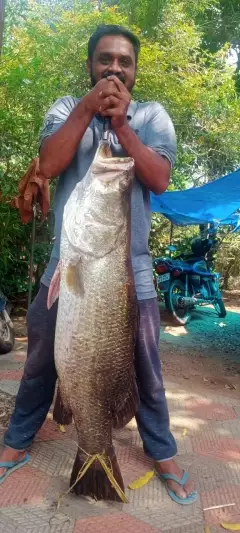
uploaded by: Ambassadeurcaster
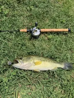
uploaded by: biggreg408

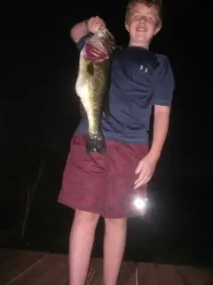
uploaded by: Charlie Pifer

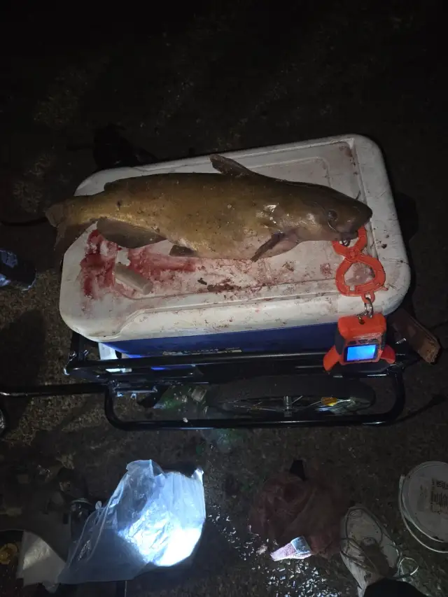
uploaded by: Nolan

uploaded by: SzatanEK666
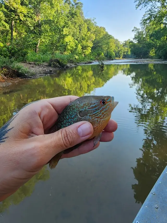
uploaded by: jennifer baldwin

uploaded by: jennifer baldwin

uploaded by: jennifer baldwin

uploaded by: jennifer baldwin

uploaded by: Bill Beyer
Best Fishing Spots in the greater Bethune Beach area
Beaches and Bays are ideal places for land-based fishing. If the beach is shallow and the water is clear then twilight times are usually the best times, especially when they coincide with a major or minor fishing time. Often the points on either side of a beach are the best spots. Or if the beach is large then look for irregularities in the breaking waves, indicating sandbanks and holes. We found 11 beaches and bays in this area.
Oyster Bay - 2km , Riverwood Park Campground Marina - 6km , Bissitte Bay - 6km , Pine Island Bay - 7km , Browns Bay - 8km , Apollo Beach - 10km , New Smyrna Beach - 10km , Coronado Beach Bridge - 12km , Turnbull Bay - 18km , Strickland Bay - 20km , Griffis Bay - 20km
Harbours and Marinas can often times be productive fishing spots for land based fishing as their sheltered environment attracts a wide variety of bait fish. Similar to river mouths, harbour entrances are also great places to fish as lots of fish will move in and out with the rising and falling tides. There are 4 main harbours in this area.
Riverwood Park Campground Marina - 6km, Camerons Marina - 6km, Fishin Cove Marina - 12km, Inlet Marina - 15km
We found a total of 67 potential fishing spots nearby Bethune Beach. Below you can find them organized on a map. Points, Headlands, Reefs, Islands, Channels, etc can all be productive fishing spots. As these are user submitted spots, there might be some errors in the exact location. You also need to cross check local fishing regulations. Some of the spots might be in or around marine reserves or other locations that cannot be fished. If you click on a location marker it will bring up some details and a quick link to google search, satellite maps and fishing times. Tip: Click/Tap on a new area to load more fishing spots.
Shipyard Canal - 1km , Cedar Island - 1km , Turner Flats - 1km , Shipyard Island - 2km , Oyster Bay - 2km , Cedar Creek - 2km , Fox Slip - 3km , Blue Hole - 3km , Orange Island - 4km , Three Sisters Islands - 4km , Brickhouse Cove - 4km , Bottle Island - 4km , Bottle Island Creek - 4km , Botheration Creek - 4km , Orange Island Creek - 4km , Webster Creek - 5km , Bittersweet Cove - 5km , Pumpkin Point - 5km , Elwinder Creek - 5km , Riverwood Park Campground Marina - 6km , Camerons Marina - 6km , Slippery Creek - 6km , Bissitte Bay - 6km , Sand Point - 7km , Gaines Slough - 7km , Gaines Island - 7km , Snake Creek - 7km , Potts Creek - 7km , Pine Island Bay - 7km , Browns Bay - 8km , Plantation Island - 9km , Big Cove - 9km , South Canal - 10km , Apollo Beach - 10km , New Smyrna Beach - 10km , Harris Saxon Bridge - 11km , Middle Island - 11km , Coronado Beach Bridge - 12km , Chicken Island - 12km , Fishin Cove Marina - 12km , Georges Slough - 13km , Inlet Marina - 15km , Bird Island - 16km , Glory Hole - 16km , Tiger Shoal - 16km , Redland Canal - 17km , Vanns Slough - 17km , Vanns Island - 17km , Cat Hammock - 17km , Blind Spruce Creek - 18km , Boathouse Point - 18km , Buzzards Roost Lake - 18km , Piddler Island - 18km , Watson Island - 18km , Inlet Harbor - 18km , Turnbull Bay - 18km , Rattlesnake Island - 19km , Onion Farm Island - 19km , Preachers Island - 19km , Live Oak Point - 19km , Long Island - 19km , Daggett Island - 20km , Three Cabbage Island - 20km , Strickland Bay - 20km , Lost Creek - 20km , Samsula Canal - 20km , Griffis Bay - 20km
Comments