

-
Nautical Twilight begins:Sunrise:
-
Sunset:Nautical Twilight ends:
-
Moonrise:
-
Moonset:
-
Moon over:
-
Moon under:
-
Visibility:4%
-
 Waxing Crescent
-
Distance to earth:405,504 kmProximity:0.5 %
Moon Phases for Candia
-
excellent Day
-
major Time:12:25 am - 02:25 am
-
minor Time:08:26 am - 10:26 am
-
major Time:12:57 pm - 02:57 pm
-
minor Time:05:29 pm - 07:29 pm
Tide Clock
Tide Graph
Times
| Tide | Time | Height |
|---|---|---|
| high | 03:06 am | 6.66 ft |
| low | 09:21 am | 0.85 ft |
| high | 03:07 pm | 7.19 ft |
| low | 09:52 pm | 0.23 ft |
Wind Speed and Direction
Wind Direction:
Wind Speed:
Wind Direction and Speed are one of the most important aspects for choosing a fishing spot. An offshore wind can help land-based anglers with longer casting distances, while an onshore wind will make kayak fishing safer. Often fish will also move to certain feeding areas depending on the wind direction. Check out the long term wind forecast at the charts below.
Fishing Barometer
Atmospheric Pressure:
Change since midnight:
Trend for next 6 hours:
Atmospheric or Barometric Pressure affects fish activity. The best fishing can be had on a rising barometer and also the time just before it is falling. A steady barometer in the higher ranges can also mean good fishing. A falling or low barometer reading without much change is usually not a very good time for fishing.
UV Effect on Fishing
As a rule of thumb, the higher the UV index, the deeper fish will move. Shallow water fishing is best done at times with a low UV index. When the UV is high, stick to early mornings, late evenings and shaded areas. The effect is less noticable in deeper water, but often a higher UV index can produce good results in the deep.
| Date | Major Bite Times | Minor Bite Times | Sun | Moon | Moonphase | Tide Times |
|---|---|---|---|---|---|---|
|
|
-
-
|
-
-
|
R: S: |
R: S: |
Waxing Crescent |
high:
, 6.66 ft
, Coeff: 100
low:
, 0.85 ft
high:
, 7.19 ft
, Coeff: 114
low:
, 0.23 ft
|
|
|
-
-
|
-
-
|
R: S: |
R: S: |
Waxing Crescent |
high:
, 6.46 ft
, Coeff: 94
low:
, 1.05 ft
high:
, 7.09 ft
, Coeff: 111
low:
, 0.39 ft
|
|
|
-
-
|
-
-
|
R: S: |
R: S: |
Waxing Crescent |
high:
, 6.27 ft
, Coeff: 89
low:
, 1.21 ft
high:
, 6.92 ft
, Coeff: 107
low:
, 0.56 ft
|
|
|
-
-
|
-
-
|
R: S: |
R: S: |
Waxing Crescent |
high:
, 6.04 ft
, Coeff: 83
low:
, 1.41 ft
high:
, 6.76 ft
, Coeff: 102
low:
, 0.75 ft
|
|
|
-
-
|
-
-
|
R: S: |
R: S: |
Waxing Crescent |
high:
, 5.84 ft
, Coeff: 78
low:
, 1.54 ft
high:
, 6.63 ft
, Coeff: 99
|
|
|
-
-
|
-
-
|
R: S: |
R: S: |
First Quarter Moon |
low:
, 0.89 ft
high:
, 5.74 ft
, Coeff: 75
low:
, 1.67 ft
high:
, 6.5 ft
, Coeff: 95
|
|
|
-
-
|
-
-
|
R: S: |
R: S: |
First Quarter Moon |
low:
, 0.98 ft
high:
, 5.71 ft
, Coeff: 74
low:
, 1.67 ft
high:
, 6.46 ft
, Coeff: 94
|
Best Fishing Spots in the greater Candia area
We found a total of 40 potential fishing spots nearby Candia. Below you can find them organized on a map. Points, Headlands, Reefs, Islands, Channels, etc can all be productive fishing spots. As these are user submitted spots, there might be some errors in the exact location. You also need to cross check local fishing regulations. Some of the spots might be in or around marine reserves or other locations that cannot be fished. If you click on a location marker it will bring up some details and a quick link to google search, satellite maps and fishing times. Tip: Click/Tap on a new area to load more fishing spots.
Abe Emerson Marsh - 4.09444261659km , Nicholls Brook - 5.10910953215km , Spruce Pond - 5.59652257079km , Dudley Brook - 6.36906900689km , Mount Pisgah Brook - 6.39655653298km , Kinnicum Pond - 6.46953269904km , Onway Lake - 6.48872482138km , Deer Pond Dam - 6.62067614247km , Hall Mountain Marsh Dam - 6.8509843401km , Murray Mill Brook - 6.99855679455km , Onway Lake Dam - 7.10957587425km , Smiths Pond - 7.74984206903km , Bear Hill Pond - 7.92739813616km , Norton Pond - 7.96048906794km , Governors Lake - 8.04794702km , Pease Brook - 8.14174153884km , Moose Meadow Brook - 8.42867933107km , Preston Brook - 8.43694583473km , Tower Hill Pond Dam - 8.52207505656km , Hook Brook - 8.55535410382km , Maple Falls Brook - 8.58883345338km , Clay Pond - 8.58995570047km , Spruce Lakes - 8.6757797659km , Freeses Pond Dam - 8.68699354557km , Little Massabesic Lake - 8.79678940836km , Clark Pond East Dam - 8.82863789846km , Clark Pond West Dam - 8.91806297355km , Mountain Cove - 9.34566787081km , Little Massabesic Brook - 9.34646303768km , Dubes Pond Dam - 9.5759609725km , Neals Cove - 9.63966697403km , Hayes Swamp Dam - 9.81147421491km , Burnhams Marshes - 10.45464285665km , Dolloff Dam - 10.65214554992km , Old Reservoir Dam - 10.7018173733km , Hinman Pond - 10.77970567923km , Back Creek - 11.06979170054km , Fundy Cove - 11.10047367278km , Picnic Island - 11.12229166422km , Catamount Brook - 11.26443586506km
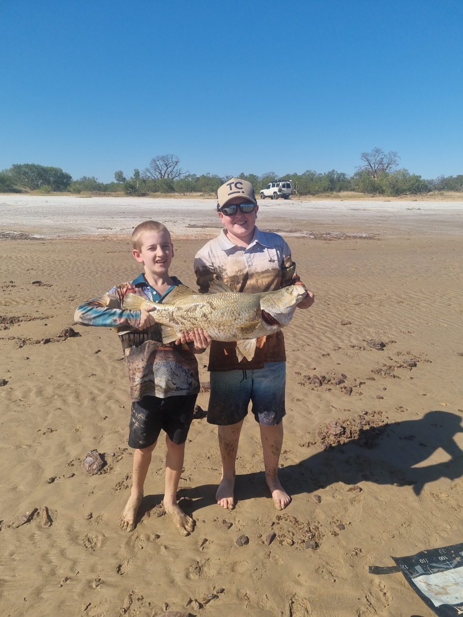
uploaded by: Wet Patch

uploaded by: dazzling79

uploaded by: benoit johnson_1

uploaded by: benoit johnson_1

uploaded by: benoit johnson_1

uploaded by: Scott Bryant

uploaded by: tajiran

uploaded by: tajiran

uploaded by: tajiran

uploaded by: tajiran


Comments