
Crab Meadow 🇺🇸
-
Nautical Twilight begins:05:08 amSunrise:06:10 am
-
Sunset:07:41 pmNautical Twilight ends:08:43 pm
-
Moonrise:06:25 am
-
Moonset:08:00 pm
-
Moon over:01:12 pm
-
Moon under:12:38 am
-
Visibility:0%
-
 New Moon
-
Distance to earth:390,279 kmProximity:36.2 %
Moon Phases for Crab Meadow
-
excellent Day
-
minor Time:
 05:25 am -
07:25 am
05:25 am -
07:25 am
-
major Time:12:12 pm - 02:12 pm
-
minor Time:
07:00 pm -
09:00 pm
-
major Time:11:38 pm - 01:38 am
Tide Clock
Tide Graph
Times
| Tide | Time | Height |
|---|---|---|
| low | 05:54 am | -0.07 ft |
| high | 12:00 pm | 7.51 ft |
| low | 06:12 pm | 0.07 ft |
| Date | Major Bite Times | Minor Bite Times | Sun | Moon | Moonphase | Tide Times |
|---|---|---|---|---|---|---|
|
Sat, 23 Aug
|
12:12 pm -
02:12 pm
11:38 pm -
01:38 am
|
05:25 am -
07:25 am
07:00 pm -
09:00 pm
|
R: 06:10 am S: 07:41 pm |
R: 06:25 am S: 08:00 pm |
New Moon |
low: 05:54 am
, -0.07 ft
high: 12:00 pm
, 7.51 ft
, Coeff: 121
low: 06:12 pm
, 0.07 ft
|
|
Sun, 24 Aug
|
12:24 am -
02:24 am
12:56 pm -
02:56 pm
|
06:32 am -
08:32 am
07:20 pm -
09:20 pm
|
R: 06:11 am S: 07:40 pm |
R: 07:32 am S: 08:20 pm |
New Moon |
high: 12:19 am
, 7.71 ft
, Coeff: 126
low: 06:35 am
, -0.03 ft
high: 12:41 pm
, 7.58 ft
, Coeff: 123
low: 06:55 pm
, 0.03 ft
|
|
Mon, 25 Aug
|
01:05 am -
03:05 am
01:37 pm -
03:37 pm
|
07:35 am -
09:35 am
07:39 pm -
09:39 pm
|
R: 06:12 am S: 07:38 pm |
R: 08:35 am S: 08:39 pm |
Waxing Crescent |
high: 01:00 am
, 7.48 ft
, Coeff: 120
low: 07:14 am
, 0.1 ft
high: 01:20 pm
, 7.55 ft
, Coeff: 122
low: 07:37 pm
, 0.13 ft
|
|
Tue, 26 Aug
|
01:47 am -
03:47 am
02:18 pm -
04:18 pm
|
08:38 am -
10:38 am
07:59 pm -
09:59 pm
|
R: 06:13 am S: 07:37 pm |
R: 09:38 am S: 08:59 pm |
Waxing Crescent |
high: 01:40 am
, 7.22 ft
, Coeff: 113
low: 07:52 am
, 0.3 ft
high: 01:59 pm
, 7.45 ft
, Coeff: 119
low: 08:17 pm
, 0.33 ft
|
|
Wed, 27 Aug
|
02:28 am -
04:28 am
03:00 pm -
05:00 pm
|
09:40 am -
11:40 am
08:20 pm -
10:20 pm
|
R: 06:14 am S: 07:35 pm |
R: 10:40 am S: 09:20 pm |
Waxing Crescent |
high: 02:19 am
, 6.89 ft
, Coeff: 104
low: 08:29 am
, 0.56 ft
high: 02:38 pm
, 7.28 ft
, Coeff: 115
low: 08:59 pm
, 0.59 ft
|
|
Thu, 28 Aug
|
03:11 am -
05:11 am
03:43 pm -
05:43 pm
|
10:43 am -
12:43 pm
08:44 pm -
10:44 pm
|
R: 06:15 am S: 07:34 pm |
R: 11:43 am S: 09:44 pm |
Waxing Crescent |
high: 03:00 am
, 6.56 ft
, Coeff: 95
low: 09:09 am
, 0.89 ft
high: 03:19 pm
, 7.12 ft
, Coeff: 110
low: 09:43 pm
, 0.89 ft
|
|
Fri, 29 Aug
|
03:57 am -
05:57 am
04:29 pm -
06:29 pm
|
11:46 am -
01:46 pm
09:12 pm -
11:12 pm
|
R: 06:16 am S: 07:32 pm |
R: 12:46 pm S: 10:12 pm |
First Quarter Moon |
high: 03:44 am
, 6.3 ft
, Coeff: 88
low: 09:52 am
, 1.25 ft
high: 04:04 pm
, 6.96 ft
, Coeff: 106
low: 10:32 pm
, 1.18 ft
|


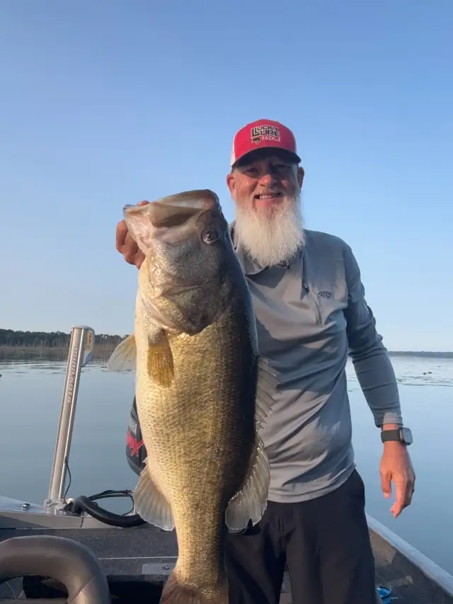
uploaded by: Wayne Robinson_1

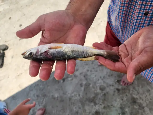
uploaded by: PetrolDriver

uploaded by: PetrolDriver
uploaded by: bandedwd

uploaded by: todd douglas

uploaded by: primerone
uploaded by: Ryan Frazier

uploaded by: Hoza

uploaded by: Alan Baker

uploaded by: Granpa C
Best Fishing Spots in the greater Crab Meadow area
Beaches and Bays are ideal places for land-based fishing. If the beach is shallow and the water is clear then twilight times are usually the best times, especially when they coincide with a major or minor fishing time. Often the points on either side of a beach are the best spots. Or if the beach is large then look for irregularities in the breaking waves, indicating sandbanks and holes. We found 23 beaches and bays in this area.
Makamah Beach - 1km , Steer's Beach - 2km , Northport Bay - 3km , Asharoken Beach - 3km , Northport Beach - 4km , Centerport Beach - 4km , Knollwood Beach - 5km , Callahans Beach - 5km , West Beach - 6km , Hobart Beach - 6km , Crescent Beach - 6km , Smithtown Bay - 7km , Huntington Bay - 7km , East Beach - 8km , Short Beach - 9km , Gold Star Beach - 9km , West Neck Beach - 13km , Lloyd Beach - 13km , Cold Spring Beach - 13km , Long Beach - 14km , West Meadow Beach - 16km , Oyster Bay - 16km , Ram Bay - 16km
Harbours and Marinas can often times be productive fishing spots for land based fishing as their sheltered environment attracts a wide variety of bait fish. Similar to river mouths, harbour entrances are also great places to fish as lots of fish will move in and out with the rising and falling tides. There are 10 main harbours in this area.
Northport Basin - 1km, Northport Bay - 3km, Northport Beach - 4km, Northport Harbor - 4km, Centerport Beach - 4km, Centerport Harbor - 5km, Wyncote Club Marina - 9km, Mill Dam Marina and Ramps - 9km, West Shore Marina - 9km, Stony Brook Harbor - 13km
We found a total of 98 potential fishing spots nearby Crab Meadow. Below you can find them organized on a map. Points, Headlands, Reefs, Islands, Channels, etc can all be productive fishing spots. As these are user submitted spots, there might be some errors in the exact location. You also need to cross check local fishing regulations. Some of the spots might be in or around marine reserves or other locations that cannot be fished. If you click on a location marker it will bring up some details and a quick link to google search, satellite maps and fishing times. Tip: Click/Tap on a new area to load more fishing spots.
Northport Basin - 1km , Makamah Beach - 1km , Blanchard Lake - 1km , Steer's Beach - 2km , Northport Bay - 3km , Fresh Pond - 3km , Bluff Point - 3km , Asharoken Beach - 3km , Northport Beach - 4km , Honeymans Point - 4km , Walnut Neck - 4km , Northport Harbor - 4km , Little Neck Point - 4km , Little Neck - 4km , Duck Island Harbor - 4km , Duck Island - 4km , Centerport Beach - 4km , Bird Island - 4km , Mill Dam Bridge - 5km , Knollwood Beach - 5km , Winkle Point - 5km , Mill Pond - 5km , Fleets Cove - 5km , Eatons Neck - 5km , Centerport Harbor - 5km , Callahans Beach - 5km , Sunken Meadow Creek Bridge - 6km , West Beach - 6km , Sand City Island - 6km , Price Bend - 6km , Hobart Beach - 6km , Eatons Neck Point - 6km , Eastons Neck Basin - 6km , Crescent Beach - 6km , Smithtown Bay - 7km , Huntington Bay - 7km , East Neck - 7km , Huntington Harbor - 8km , East Fort Point - 8km , East Beach - 8km , Wyncote Club Marina - 9km , Mill Dam Marina and Ramps - 9km , West Shore Marina - 9km , Wincoma Point - 9km , Short Beach - 9km , Gold Star Beach - 9km , Lloyd Harbor - 10km , Dix Hills Road Bridge - 11km , West Neck - 11km , Lloyd Neck - 11km , Willow Pond - 12km , Webster Pond - 12km , Vail Pond - 12km , Phillips Millpond - 12km , Nissequogue Neck - 12km , West Neck Beach - 13km , Stony Brook Harbor - 13km , The Sand Hole - 13km , Mill Creek - 13km , Lloyd Point - 13km , Lloyd Beach - 13km , Inner Harbor - 13km , Fly Island - 13km , Cold Spring Harbor - 13km , Cold Spring Beach - 13km , Whitewood Point - 14km , Long Beach - 14km , Copps Rocks - 15km , Youngs Island - 15km , Plum Point - 15km , Hiding Rocks - 15km , Crane Neck Point - 15km , Cove Neck - 15km , The Plans - 15km , Cove Point - 15km , Yellow Rocks - 15km , Copps Island - 16km , Chimon Rock - 16km , Chimon Island - 16km , Beers Rocks - 16km , West Meadow Creek - 16km , West Meadow Beach - 16km , Weeks Point - 16km , Rocky Point - 16km , Oyster Bay - 16km , Moses Point - 16km , Mills Pond - 16km , Crane Neck - 16km , The Cove - 16km , Centre Island - 16km , Center Island - 16km , Wood Island - 16km , Southwest Point - 16km , Ram Bay - 16km , Sheffield Island Harbor - 16km , Old Baldy - 16km , Dog Island - 16km , Shea Island - 16km
Comments