
-
Nautical Twilight begins:Sunrise:
-
Sunset:Nautical Twilight ends:
-
Moonrise:
-
Moonset:
-
Moon over:
-
Moon under:
-
Visibility:100%
-
 Full Moon
-
Distance to earth:368,693 kmProximity:86.9 %
Moon Phases for Hatteras
-
poor Day
-
minor Time:05:18 am - 07:18 am
-
major Time:11:18 am - 01:18 pm
-
minor Time:
 05:19 pm -
07:19 pm
05:19 pm -
07:19 pm
-
major Time:11:02 pm - 01:02 am
Tide Clock
Tide Graph
Times
| Tide | Time | Height |
|---|---|---|
| low | 12:48 am | 0.03 ft |
| high | 07:01 am | 3.97 ft |
| low | 01:17 pm | -0.1 ft |
| high | 07:24 pm | 3.77 ft |
| Date | Major Bite Times | Minor Bite Times | Sun | Moon | Moonphase | Tide Times |
|---|---|---|---|---|---|---|
|
|
-
-
|
-
-
|
R: S: |
R: S: |
Full Moon |
low:
, 0.03 ft
high:
, 3.97 ft
, Coeff: 167
low:
, -0.1 ft
high:
, 3.77 ft
, Coeff: 155
|
|
|
-
-
|
-
-
|
R: S: |
R: S: |
Full Moon |
low:
, -0.13 ft
high:
, 4.3 ft
, Coeff: 187
low:
, -0.2 ft
high:
, 3.67 ft
, Coeff: 149
|
|
|
-
-
|
-
-
|
R: S: |
R: S: |
Full Moon |
low:
, -0.23 ft
high:
, 4.49 ft
, Coeff: 200
low:
, -0.16 ft
high:
, 3.54 ft
, Coeff: 140
|
|
|
-
-
|
-
-
|
R: S: |
R: S: |
Waning Gibbous |
low:
, -0.26 ft
high:
, 4.53 ft
, Coeff: 202
low:
, -0.07 ft
high:
, 3.35 ft
, Coeff: 128
|
|
|
-
-
|
-
-
|
R: S: |
R: S: |
Waning Gibbous |
low:
, -0.16 ft
high:
, 4.46 ft
, Coeff: 198
low:
, 0.1 ft
high:
, 3.12 ft
, Coeff: 114
|
|
|
-
-
|
-
-
|
R: S: |
R: S: |
Waning Gibbous |
low:
, -0.03 ft
high:
, 4.3 ft
, Coeff: 187
low:
, 0.33 ft
high:
, 2.92 ft
, Coeff: 102
|
|
|
-
-
|
-
-
|
R: S: |
R: S: |
Third Quarter Moon |
low:
, 0.2 ft
high:
, 4.07 ft
, Coeff: 173
low:
, 0.52 ft
|
Best Fishing Spots in the greater Hatteras area
Beaches and Bays are ideal places for land-based fishing. If the beach is shallow and the water is clear then twilight times are usually the best times, especially when they coincide with a major or minor fishing time. Often the points on either side of a beach are the best spots. Or if the beach is large then look for irregularities in the breaking waves, indicating sandbanks and holes. We found 2 beaches and bays in this area.
Sandy Bay - 1.17821894555km , Brigand Bay - 10.63725254833km
We found a total of 40 potential fishing spots nearby Hatteras. Below you can find them organized on a map. Points, Headlands, Reefs, Islands, Channels, etc can all be productive fishing spots. As these are user submitted spots, there might be some errors in the exact location. You also need to cross check local fishing regulations. Some of the spots might be in or around marine reserves or other locations that cannot be fished. If you click on a location marker it will bring up some details and a quick link to google search, satellite maps and fishing times. Tip: Click/Tap on a new area to load more fishing spots.
The Slash - 0.66958691127km , Duck Ponds - 0.78770625856km , Little Hatteras Island (historical) - 0.97937690951km , Isaac Ponds - 1.16436364422km , Sandy Bay - 1.17821894555km , Austin Creek - 1.70237078415km , Isabel Breach (historical) - 3.22872838731km , Joe Saur Creek - 4.56711574098km , Isabel Inlet (historical) - 4.83702634542km , Bird Islands - 9.10236464337km , Birds Island - 9.10464578543km , Kings Island - 9.75621672627km , Hatteras Bight - 10.16069069537km , Brigand Bay - 10.63725254833km , Tar Hole Inlet - 10.75975643194km , Outer Green Island - 11.23428658972km , Green Island - 11.46831502947km , Cockrel Creek Island - 12.76408589626km , Shingle Creek - 13.38126796279km , Jennette Sedge - 13.63583743477km , Quork Hammock - 13.85944519466km , Jeanette Sedge - 14.04862981975km , North Bitterswash Creek - 14.38461049842km , South Bitterswash Creek - 14.89650467284km , Canadian Hole - 15.70806657275km , The Great Swash - 16.0490511652km , Chaneandepeco Inlet (historical) - 16.43825449401km , Hatteras Slough - 17.01738793325km , Knoll Island - 17.74618238955km , Knoll Creek - 17.90745125102km , Long Point Creek - 19.11193349756km , Boat Creek - 19.35067232184km , Askins Creek - 19.57170695989km , Knoll House Creek - 19.86731224106km , Black Hammock - 20.18927663026km , Try Yard Creek - 20.39257888554km , Little Swash Opening - 21.32573258904km , Peters Ditch - 21.73182974757km , Ocracoke Island - 21.89130563191km , Mill Creek - 23.06807711452km

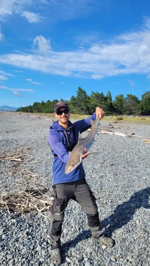
uploaded by: Mark Totzke

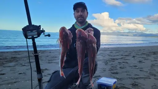
uploaded by: tajiran

uploaded by: Mark Totzke

uploaded by: Mark Totzke

uploaded by: Mark Totzke

uploaded by: Michael Mayse

uploaded by: primerone

uploaded by: v l

uploaded by: Shin_Benfield

uploaded by: Charles Clute


Comments