-
Nautical Twilight begins:Sunrise:
-
Sunset:Nautical Twilight ends:
-
Moonrise:
-
Moonset:
-
Moon over:
-
Moon under:
-
Visibility:1%
-
 New Moon
-
Distance to earth:405,064 kmProximity:1.5 %
Moon Phases for Hunt Valley
-
excellent Day
-
major Time:12:01 am - 02:01 am
-
minor Time:07:34 am - 09:34 am
-
major Time:12:33 pm - 02:33 pm
-
minor Time:
 05:33 pm -
07:33 pm
Tide Clock
Tide Graph
Times
| Tide | Time | Height |
|---|---|---|
| low | 02:51 am | 0.62 ft |
| high | 07:41 am | 1.35 ft |
| low | 01:51 pm | 0.23 ft |
| high | 08:32 pm | 1.9 ft |
Wind Speed and Direction
Wind Direction:
Wind Speed:
Wind Direction and Speed are one of the most important aspects for choosing a fishing spot. An offshore wind can help land-based anglers with longer casting distances, while an onshore wind will make kayak fishing safer. Often fish will also move to certain feeding areas depending on the wind direction. Check out the long term wind forecast at the charts below.
Fishing Barometer
Atmospheric Pressure:
Change since midnight:
Trend for next 6 hours:
Atmospheric or Barometric Pressure affects fish activity. The best fishing can be had on a rising barometer and also the time just before it is falling. A steady barometer in the higher ranges can also mean good fishing. A falling or low barometer reading without much change is usually not a very good time for fishing.
UV Effect on Fishing
As a rule of thumb, the higher the UV index, the deeper fish will move. Shallow water fishing is best done at times with a low UV index. When the UV is high, stick to early mornings, late evenings and shaded areas. The effect is less noticable in deeper water, but often a higher UV index can produce good results in the deep.
| Date | Major Bite Times | Minor Bite Times | Sun | Moon | Moonphase | Tide Times |
|---|---|---|---|---|---|---|
|
|
-
-
|
-
-
|
R: S: |
R: S: |
New Moon |
low:
, 0.62 ft
high:
, 1.35 ft
, Coeff: 78
low:
, 0.23 ft
high:
, 1.9 ft
, Coeff: 143
|
|
|
-
-
|
-
-
|
R: S: |
R: S: |
Waxing Crescent |
low:
, 0.66 ft
high:
, 1.25 ft
, Coeff: 66
low:
, 0.23 ft
high:
, 1.9 ft
, Coeff: 143
|
|
|
-
-
|
-
-
|
R: S: |
R: S: |
Waxing Crescent |
low:
, 0.66 ft
high:
, 1.18 ft
, Coeff: 58
low:
, 0.23 ft
high:
, 1.9 ft
, Coeff: 143
|
|
|
-
-
|
-
-
|
R: S: |
R: S: |
Waxing Crescent |
low:
, 0.66 ft
high:
, 1.12 ft
, Coeff: 51
low:
, 0.26 ft
high:
, 1.87 ft
, Coeff: 139
|
|
|
-
-
|
-
-
|
R: S: |
R: S: |
Waxing Crescent |
low:
, 0.66 ft
high:
, 1.08 ft
, Coeff: 47
low:
, 0.3 ft
high:
, 1.8 ft
, Coeff: 132
|
|
|
-
-
|
-
-
|
R: S: |
R: S: |
Waxing Crescent |
low:
, 0.66 ft
high:
, 1.08 ft
, Coeff: 47
low:
, 0.36 ft
high:
, 1.77 ft
, Coeff: 128
|
|
|
-
-
|
-
-
|
R: S: |
R: S: |
First Quarter Moon |
low:
, 0.62 ft
high:
, 1.08 ft
, Coeff: 47
low:
, 0.39 ft
|
October Fishing Report
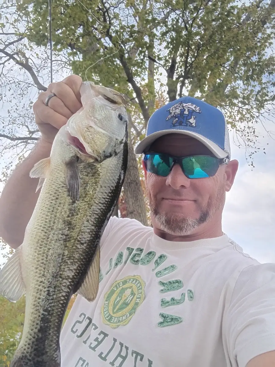
Cooler October temps around Hunt Valley have fish feeding. On Loch Raven Reservoir, largemouth bass are sliding shallow onto points and coves, chasing young shad. Work shallow-running crankbaits, white spinnerbaits, or suspending jerkbaits along wind-blown banks. Crappie are schooling over brush in 8–15 ft; small jigs under floats or minnows are producing. Expect bonus chain pickerel around weed edges and laydowns.
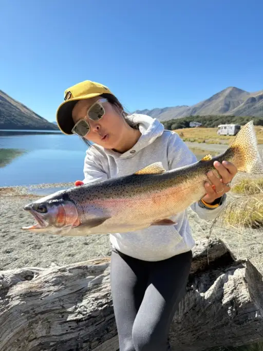
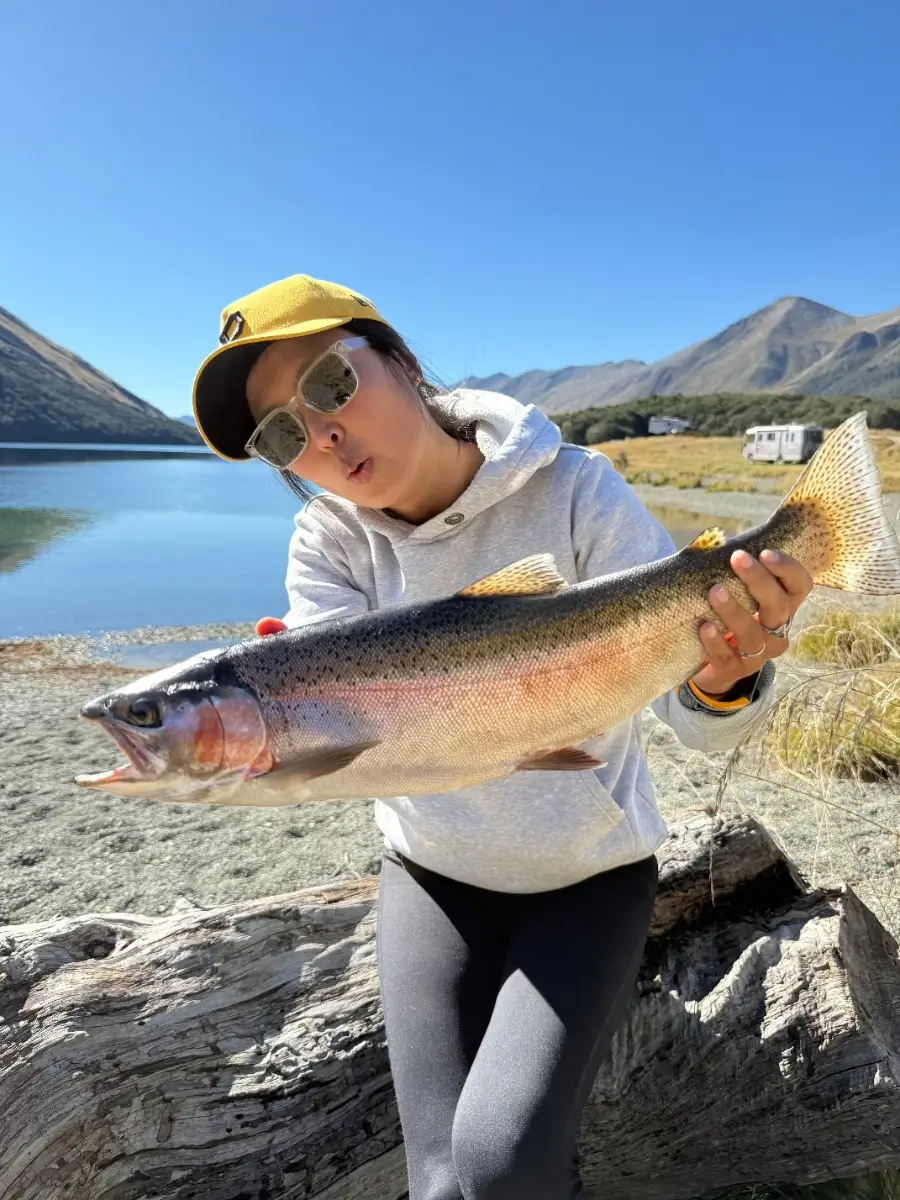
The Gunpowder Falls tailwater is clear and cool, with steady flows. Wild brown trout are sipping BWO and midge hatches during overcast afternoons; size 18–22 dries and emergers, plus small olive/black streamers on cloudy stretches, are effective. Nymphing with pheasant tails and zebra midges in seams is consistent.
Best times: late morning through mid-afternoon after chilly starts; low-light periods are solid on windy banks for bass. Conditions: post‑frontal bluebird skies slow bites—downsize and fish slower; rising barometer and light chop improve action.
Top tip: Match shad size—if you see 2–3 inch bait flipping, downsize your jerkbait or spinnerbait blades to trigger more strikes.
Best Fishing Spots in the greater Hunt Valley area
We found a total of 40 potential fishing spots nearby Hunt Valley. Below you can find them organized on a map. Points, Headlands, Reefs, Islands, Channels, etc can all be productive fishing spots. As these are user submitted spots, there might be some errors in the exact location. You also need to cross check local fishing regulations. Some of the spots might be in or around marine reserves or other locations that cannot be fished. If you click on a location marker it will bring up some details and a quick link to google search, satellite maps and fishing times. Tip: Click/Tap on a new area to load more fishing spots.
Western Run - 0.94879324904km , Wolftrap Branch - 1.27297510247km , Greene Branch - 1.81379800405km , Beaverdam Run - 1.83544864901km , Parks Run - 1.89009608086km , Oregon Branch - 2.17831132524km , Goodwin Run - 2.89553628224km , Royston Branch - 3.71708162815km , Baisman Run - 3.77791949077km , Oregon Pool - 4.21038833708km , Piney Creek - 4.51429469277km , Pond Branch - 4.75017888459km , Overshot Run - 5.18298081394km , My Ladys Manor Branch - 5.8666244031km , Merryman Branch - 6.25990909474km , Buffalo Creek - 6.49235368046km , Fitzhugh Run - 7.03506748751km , Blackrock Run - 7.69263981014km , Charles Run - 8.33253866534km , Kelly Branch - 8.82175682111km , Long Quarter Branch - 8.98586874901km , Peterson Run (historical) - 9.05089809474km , Dulaney Branch - 9.0530244401km , Deadman Run - 9.44655413842km , Rush Brook - 9.71951255415km , Waterspout Run - 10.11071580838km , Dipping Pond Run - 10.32091671307km , Parker Branch - 10.47130896988km , Delaware Run - 10.51314859778km , Yellow Branch - 10.68388193061km , Little Falls - 10.99733713837km , McGill Run - 11.06500963147km , Nelson Branch - 11.28288002677km , Loch Raven Dam - 11.33996131917km , Sawmill Branch - 11.34684460405km , Towson Run - 11.42867785409km , North Branch Jones Falls - 11.43494452998km , Slaughterhouse Branch - 11.69027451099km , Roland Run - 11.72258376631km , Moores Branch - 11.77341428443km



Comments