


-
Nautical Twilight begins:Sunrise:
-
Sunset:Nautical Twilight ends:
-
Moonrise:
-
Moonset:
-
Moon over:
-
Moon under:
-
Visibility:97%
-
 Full Moon
-
Distance to earth:372,504 kmProximity:77.9 %
Moon Phases for Reeves Park
-
average Day
-
minor Time:04:31 am - 06:31 am
-
major Time:10:49 am - 12:49 pm
-
minor Time:
 05:08 pm -
07:08 pm
05:08 pm -
07:08 pm
-
major Time:11:07 pm - 01:07 am
Tide Clock
Tide Graph
Times
| Tide | Time | Height |
|---|---|---|
| low | 02:13 am | 0.39 ft |
| high | 08:16 am | 2.82 ft |
| low | 02:39 pm | 0.39 ft |
| high | 08:35 pm | 2.79 ft |
| Date | Major Bite Times | Minor Bite Times | Sun | Moon | Moonphase | Tide Times |
|---|---|---|---|---|---|---|
|
|
-
-
|
-
-
|
R: S: |
R: S: |
Full Moon |
low:
, 0.39 ft
high:
, 2.82 ft
, Coeff: 166
low:
, 0.39 ft
high:
, 2.79 ft
, Coeff: 163
|
|
|
-
-
|
-
-
|
R: S: |
R: S: |
Full Moon |
low:
, 0.16 ft
high:
, 2.99 ft
, Coeff: 180
low:
, 0.33 ft
high:
, 2.89 ft
, Coeff: 171
|
|
|
-
-
|
-
-
|
R: S: |
R: S: |
Full Moon |
low:
, -0 ft
high:
, 3.12 ft
, Coeff: 191
low:
, 0.3 ft
high:
, 2.92 ft
, Coeff: 174
|
|
|
-
-
|
-
-
|
R: S: |
R: S: |
Full Moon |
low:
, -0.1 ft
high:
, 3.15 ft
, Coeff: 194
low:
, 0.33 ft
high:
, 2.92 ft
, Coeff: 174
|
|
|
-
-
|
-
-
|
R: S: |
R: S: |
Waning Gibbous |
low:
, -0.13 ft
high:
, 3.12 ft
, Coeff: 191
low:
, 0.43 ft
high:
, 2.85 ft
, Coeff: 169
|
|
|
-
-
|
-
-
|
R: S: |
R: S: |
Waning Gibbous |
low:
, -0.03 ft
high:
, 3.02 ft
, Coeff: 183
low:
, 0.56 ft
|
|
|
-
-
|
-
-
|
R: S: |
R: S: |
Waning Gibbous |
high:
, 2.76 ft
, Coeff: 160
low:
, 0.13 ft
high:
, 2.85 ft
, Coeff: 169
low:
, 0.72 ft
|
Best Fishing Spots in the greater Reeves Park area
Wharf's or Jetties are good places to wet a line and meet other fishermen. They often produce a fresh feed of fish and are also great to catch bait fish. As they are often well lit, they also provide a good opportunity for night fishing. There are 7 wharf(s) in this area.
United States Customs Service Miami Wharf - 1.50146393767km , Bimini Shipping Wharf and Slip - 1.54142228746km , Merrill - Stevens Dry Dock South Yard Wharf and Boat Basin - 1.58649804794km , Merrill - Stevens Dry Dock Main Yard Slip Number 3 Repair Wharf - 1.64231379326km , Hempstead Marine Wharf - 3.20867530578km , Florida Power and Light Company Miami Beach Wharf - 5.20413368418km , Byrd Diving and Salvage Lower Wharf - 5.21877934967km
Beaches and Bays are ideal places for land-based fishing. If the beach is shallow and the water is clear then twilight times are usually the best times, especially when they coincide with a major or minor fishing time. Often the points on either side of a beach are the best spots. Or if the beach is large then look for irregularities in the breaking waves, indicating sandbanks and holes. We found 2 beaches and bays in this area.
Miamarina at Bayside Marina - 1.51630414157km , Florida Power and Light Company Miami Beach Wharf - 5.20413368418km
Harbours and Marinas can often times be productive fishing spots for land based fishing as their sheltered environment attracts a wide variety of bait fish. Similar to river mouths, harbour entrances are also great places to fish as lots of fish will move in and out with the rising and falling tides. There are 11 main harbours in this area.
La Coloma Marina - 0.58364022084km, Miamarina at Bayside Marina - 1.51630414157km, Miami Harbor - 1.80003232368km, Yacht Haven Grande Miami at Island Gardens - 2.14712594027km, River Run Yacht Club Marina - 2.49989124152km, Miami Outboard Club Marina - 2.81001585112km, Hurricane Cove Marina - 2.81987855km, Brickell Place Marina - 2.99213280789km, Poland Yacht Basin - 3.12088002268km, Hardie Yachts Basin - 3.12420013396km, Grove Isle Marina - 5.21508881316km
We found a total of 40 potential fishing spots nearby Reeves Park. Below you can find them organized on a map. Points, Headlands, Reefs, Islands, Channels, etc can all be productive fishing spots. As these are user submitted spots, there might be some errors in the exact location. You also need to cross check local fishing regulations. Some of the spots might be in or around marine reserves or other locations that cannot be fished. If you click on a location marker it will bring up some details and a quick link to google search, satellite maps and fishing times. Tip: Click/Tap on a new area to load more fishing spots.
La Coloma Marina - 0.58364022084km , Wagner Creek - 0.74308225372km , United States Customs Service Miami Wharf - 1.50146393767km , Miamarina at Bayside Marina - 1.51630414157km , Bimini Shipping Wharf and Slip - 1.54142228746km , Merrill - Stevens Dry Dock South Yard Wharf and Boat Basin - 1.58649804794km , Merrill - Stevens Dry Dock Main Yard Slip Number 3 Repair Wharf - 1.64231379326km , Miami River - 1.70673308571km , Miami Harbor - 1.80003232368km , Burlingame Island - 1.95188290036km , Claughton Island - 2.01680666329km , Yacht Haven Grande Miami at Island Gardens - 2.14712594027km , River Run Yacht Club Marina - 2.49989124152km , Watson Island - 2.56377689689km , Biscayne Island - 2.72944836303km , North Fork Miami River - 2.76693218467km , South Fork Miami River - 2.76693218467km , Miami Outboard Club Marina - 2.81001585112km , Hurricane Cove Marina - 2.81987855km , Dodge Island - 2.98287814786km , Brickell Place Marina - 2.99213280789km , Pace Picnic Islands - 3.06089245014km , Poland Yacht Basin - 3.12088002268km , Hardie Yachts Basin - 3.12420013396km , Hempstead Marine Wharf - 3.20867530578km , San Marco Island - 3.39991724284km , Jest Island - 3.89673600562km , Venetian Islands - 3.93403500247km , San Marino Island - 3.93714074641km , Hibiscus Island - 4.01975712822km , Di Lido Island - 4.26758369878km , Sister Banks - 4.58899722178km , Lummus Island (historical) - 4.67009605777km , Rivo Alto Island - 4.67634849025km , Sabal Lake - 4.73494804449km , Star Island - 4.9919688944km , Florida Power and Light Company Miami Beach Wharf - 5.20413368418km , Grove Isle Marina - 5.21508881316km , Byrd Diving and Salvage Lower Wharf - 5.21877934967km , Grove Isle - 5.22885414959km

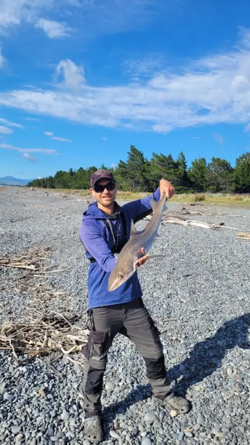
uploaded by: Mark Totzke

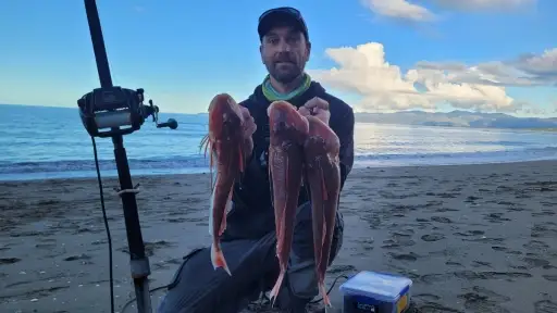
uploaded by: tajiran

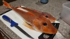
uploaded by: Mark Totzke

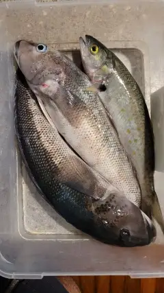
uploaded by: Mark Totzke

uploaded by: Mark Totzke

uploaded by: Michael Mayse

uploaded by: primerone

uploaded by: v l

uploaded by: Shin_Benfield

uploaded by: Charles Clute


Comments