
The Elms 🇺🇸
-
Nautical Twilight begins:04:25 amSunrise:05:37 am
-
Sunset:08:36 pmNautical Twilight ends:09:48 pm
-
Moonrise:11:10 am
-
Moonset:-
-
Moon over:05:36 pm
-
Moon under:05:05 am
-
Visibility:30%
-
 Waxing Crescent
-
Distance to earth:395,343 kmProximity:24.3 %
Moon Phases for The Elms
-
average Day
-
major Time:04:05 am - 06:05 am
-
minor Time:10:10 am - 12:10 pm
-
major Time:04:36 pm - 06:36 pm
-
minor Time:11:03 pm - 01:03 am
Tide Clock
Tide Graph
Times
| Tide | Time | Height |
|---|---|---|
| high | 04:31 am | 5.77 ft |
| low | 11:43 am | 0.39 ft |
| high | 05:11 pm | 5.25 ft |
| low | 11:50 pm | 0.92 ft |
| Date | Major Bite Times | Minor Bite Times | Sun | Moon | Moonphase | Tide Times |
|---|---|---|---|---|---|---|
|
Mon, 30 Jun
|
04:05 am -
06:05 am
04:36 pm -
06:36 pm
|
10:10 am -
12:10 pm
11:03 pm -
01:03 am
|
R: 05:37 am S: 08:36 pm |
R: 11:10 am S: - |
Waxing Crescent |
high: 04:31 am
, 5.77 ft
, Coeff: 122
low: 11:43 am
, 0.39 ft
high: 05:11 pm
, 5.25 ft
, Coeff: 104
low: 11:50 pm
, 0.92 ft
|
|
Tue, 01 Jul
|
05:07 am -
07:07 am
05:38 pm -
07:38 pm
|
11:11 am -
01:11 pm
11:03 pm -
01:03 am
|
R: 05:37 am S: 08:36 pm |
R: 12:11 pm S: 12:03 am |
First Quarter Moon |
high: 05:23 am
, 5.54 ft
, Coeff: 114
low: 12:26 pm
, 0.49 ft
high: 06:03 pm
, 5.31 ft
, Coeff: 106
|
|
Wed, 02 Jul
|
05:47 am -
07:47 am
06:17 pm -
08:17 pm
|
12:12 pm -
02:12 pm
11:23 pm -
01:23 am
|
R: 05:38 am S: 08:36 pm |
R: 01:12 pm S: 12:23 am |
First Quarter Moon |
low: 12:41 am
, 0.98 ft
high: 06:16 am
, 5.38 ft
, Coeff: 109
low: 01:10 pm
, 0.56 ft
high: 06:55 pm
, 5.45 ft
, Coeff: 111
|
|
Thu, 03 Jul
|
06:27 am -
08:27 am
06:58 pm -
08:58 pm
|
01:12 pm -
03:12 pm
11:43 pm -
01:43 am
|
R: 05:38 am S: 08:36 pm |
R: 02:12 pm S: 12:43 am |
First Quarter Moon |
low: 01:34 am
, 1.05 ft
high: 07:10 am
, 5.22 ft
, Coeff: 103
low: 01:54 pm
, 0.62 ft
high: 07:47 pm
, 5.54 ft
, Coeff: 114
|
|
Fri, 04 Jul
|
07:09 am -
09:09 am
07:40 pm -
09:40 pm
|
12:05 am -
02:05 am
02:13 pm -
04:13 pm
|
R: 05:39 am S: 08:36 pm |
R: 03:13 pm S: 01:05 am |
First Quarter Moon |
low: 02:29 am
, 1.02 ft
high: 08:05 am
, 5.09 ft
, Coeff: 98
low: 02:40 pm
, 0.69 ft
high: 08:38 pm
, 5.68 ft
, Coeff: 119
|
|
Sat, 05 Jul
|
07:52 am -
09:52 am
08:24 pm -
10:24 pm
|
12:29 am -
02:29 am
03:15 pm -
05:15 pm
|
R: 05:40 am S: 08:35 pm |
R: 04:15 pm S: 01:29 am |
Waxing Gibbous |
low: 03:24 am
, 0.95 ft
high: 08:59 am
, 4.99 ft
, Coeff: 95
low: 03:27 pm
, 0.72 ft
high: 09:27 pm
, 5.81 ft
, Coeff: 123
|
|
Sun, 06 Jul
|
08:37 am -
10:37 am
09:08 pm -
11:08 pm
|
12:57 am -
02:57 am
04:18 pm -
06:18 pm
|
R: 05:40 am S: 08:35 pm |
R: 05:18 pm S: 01:57 am |
Waxing Gibbous |
low: 04:19 am
, 0.85 ft
high: 09:52 am
, 4.95 ft
, Coeff: 94
low: 04:15 pm
, 0.72 ft
high: 10:15 pm
, 5.91 ft
, Coeff: 127
|


")

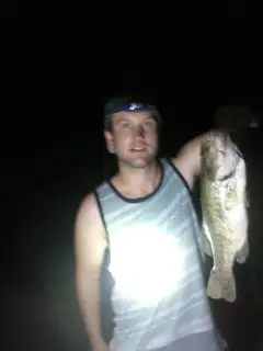
uploaded by: Jessica Purcell

uploaded by: Christian Robinson

uploaded by: Dowdy Dana

uploaded by: Dowdy Dana

uploaded by: Dowdy Dana

uploaded by: Dowdy Dana

uploaded by: Александр Новиков

uploaded by: Александр Новиков

uploaded by: Ambassadeurcaster
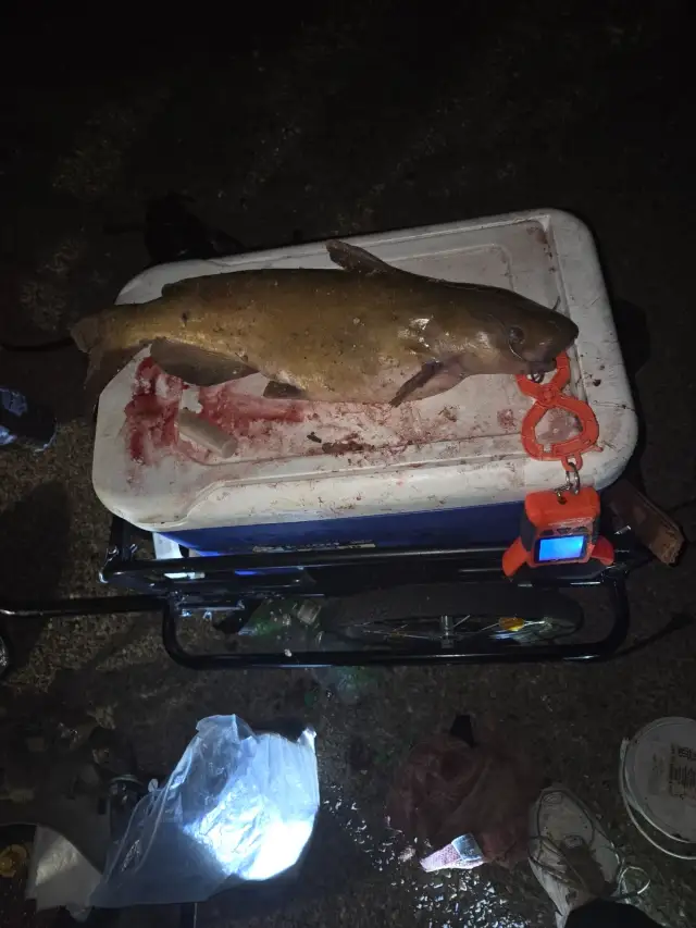
uploaded by: biggreg408
Best Fishing Spots in the greater The Elms area
Wharf's or Jetties are good places to wet a line and meet other fishermen. They often produce a fresh feed of fish and are also great to catch bait fish. As they are often well lit, they also provide a good opportunity for night fishing. There are 1 wharf(s) in this area.
Old Frenchtown Wharf - 17km
Beaches and Bays are ideal places for land-based fishing. If the beach is shallow and the water is clear then twilight times are usually the best times, especially when they coincide with a major or minor fishing time. Often the points on either side of a beach are the best spots. Or if the beach is large then look for irregularities in the breaking waves, indicating sandbanks and holes. We found 1 beaches and bays in this area.
Deemers Beach - 9km
Harbours and Marinas can often times be productive fishing spots for land based fishing as their sheltered environment attracts a wide variety of bait fish. Similar to river mouths, harbour entrances are also great places to fish as lots of fish will move in and out with the rising and falling tides. There are 2 main harbours in this area.
Cove Marina - 18km, Locust Point Marina - 18km
We found a total of 78 potential fishing spots nearby The Elms. Below you can find them organized on a map. Points, Headlands, Reefs, Islands, Channels, etc can all be productive fishing spots. As these are user submitted spots, there might be some errors in the exact location. You also need to cross check local fishing regulations. Some of the spots might be in or around marine reserves or other locations that cannot be fished. If you click on a location marker it will bring up some details and a quick link to google search, satellite maps and fishing times. Tip: Click/Tap on a new area to load more fishing spots.
Becks Pond Dam - 6km , Bread and Cheese Island - 6km , Sunset Lake Dam - 6km , Deemers Beach - 9km , Gambles Gut - 9km , Hamburg Cove - 10km , Broad Dyke Canal - 11km , Coopers Island - 11km , The Dyke - 11km , Pea Patch Island Dike - 11km , Elk Forge Bridge (historical) - 11km , Dutch Neck - 12km , Edgar M Hoopes Dam - 12km , Reybold Cove - 12km , Finns Point - 13km , Magazine Ditch - 13km , Big Elk Creek Covered Bridge (historical) - 13km , Kelly Point - 13km , Somerset Dam - 13km , Canal Bridge - 14km , Crane Hook (historical) - 14km , Lums Pond - 14km , Pea Patch Island - 14km , Tailings Pond - 14km , Biddle Point - 15km , Branch Channel Bridge - 15km , Briar Point - 15km , Chesapeake and Delaware Canal - 15km , Delaware City Branch Channel - 15km , Holly Island - 15km , Lobdell Canal - 15km , Pigeon Point - 15km , Childs Pony Truss Bridge - 15km , Otter Point - 15km , Cedar Point - 15km , Delaware Memorial Bridges - 15km , Travis Cove - 15km , Cherry Island - 16km , Fiddlers Bridge - 16km , Ice House Point - 16km , Iron Bridge - 16km , Nemours Dam - 16km , Reedy Point Bridge - 16km , WHite Hall Point - 16km , White Hall Point - 16km , Deepwater Point - 16km , Penns Neck - 16km , Brandywine Creek Dam - 17km , Goose Point - 17km , Reedy Point - 17km , Shadowbrook Dam - 17km , Old Frenchtown Wharf - 17km , Pivot Bridge (historical) - 17km , Scotland Point - 17km , Goose Pond - 17km , Marsh Point - 17km , Locust Point - 18km , Pleasant Point - 18km , Green Valley Farms Dam - 18km , Cove Marina - 18km , Locust Point Marina - 18km , Plum Point - 19km , Salem Cove - 19km , Thompson Bridge - 19km , Back Creek Dam - 19km , Back Creek Neck - 19km , Disposal Area 18 Dam - 19km , Disposal Area Number 21 Dam - 19km , Green Point - 19km , Henderson Point - 19km , Plum Creek Bridge - 19km , Dupont Dam - 19km , Lower Dam - 19km , Disposal Area Number 19 Dam - 20km , Emily Point - 20km , Paddy Biddle Cove - 20km , Elsinboro Point - 20km , Hickory Island - 20km
Comments