
-
Nautical Twilight begins:Sunrise:
-
Sunset:Nautical Twilight ends:
-
Moonrise:
-
Moonset:
-
Moon over:
-
Moon under:
-
Visibility:100%
-
 Full Moon
-
Distance to earth:368,693 kmProximity:86.9 %
Moon Phases for West Chatham
-
poor Day
-
minor Time:04:56 am - 06:56 am
-
major Time:10:54 am - 12:54 pm
-
minor Time:
 04:52 pm -
06:52 pm
04:52 pm -
06:52 pm
-
major Time:11:07 pm - 01:07 am
Tide Clock
Tide Graph
Times
| Tide | Time | Height |
|---|---|---|
| low | 06:46 am | -0.16 ft |
| high | 12:08 pm | 5.22 ft |
| low | 07:10 pm | -0.26 ft |
| Date | Major Bite Times | Minor Bite Times | Sun | Moon | Moonphase | Tide Times |
|---|---|---|---|---|---|---|
|
|
-
-
|
-
-
|
R: S: |
R: S: |
Full Moon |
low:
, -0.16 ft
high:
, 5.22 ft
, Coeff: 116
low:
, -0.26 ft
|
|
|
-
-
|
-
-
|
R: S: |
R: S: |
Full Moon |
high:
, 5.25 ft
, Coeff: 118
low:
, -0.26 ft
high:
, 5.48 ft
, Coeff: 126
low:
, -0.46 ft
|
|
|
-
-
|
-
-
|
R: S: |
R: S: |
Full Moon |
high:
, 5.31 ft
, Coeff: 120
low:
, -0.3 ft
high:
, 5.68 ft
, Coeff: 134
low:
, -0.56 ft
|
|
|
-
-
|
-
-
|
R: S: |
R: S: |
Waning Gibbous |
high:
, 5.25 ft
, Coeff: 118
low:
, -0.26 ft
high:
, 5.74 ft
, Coeff: 136
low:
, -0.56 ft
|
|
|
-
-
|
-
-
|
R: S: |
R: S: |
Waning Gibbous |
high:
, 5.12 ft
, Coeff: 113
low:
, -0.13 ft
high:
, 5.68 ft
, Coeff: 134
low:
, -0.49 ft
|
|
|
-
-
|
-
-
|
R: S: |
R: S: |
Waning Gibbous |
high:
, 4.89 ft
, Coeff: 104
low:
, 0 ft
high:
, 5.51 ft
, Coeff: 127
low:
, -0.33 ft
|
|
|
-
-
|
-
-
|
R: S: |
R: S: |
Third Quarter Moon |
high:
, 4.66 ft
, Coeff: 95
low:
, 0.2 ft
high:
, 5.28 ft
, Coeff: 119
|
Best Fishing Spots in the greater West Chatham area
Wharf's or Jetties are good places to wet a line and meet other fishermen. They often produce a fresh feed of fish and are also great to catch bait fish. As they are often well lit, they also provide a good opportunity for night fishing. There are 1 wharf(s) in this area.
Howes Wharf (historical) - 3.09015813157km
Beaches and Bays are ideal places for land-based fishing. If the beach is shallow and the water is clear then twilight times are usually the best times, especially when they coincide with a major or minor fishing time. Often the points on either side of a beach are the best spots. Or if the beach is large then look for irregularities in the breaking waves, indicating sandbanks and holes. We found 4 beaches and bays in this area.
Harding Beach - 1.56958575985km , Oyster Pond Beach - 2.17323739004km , Forest Beach - 3.0949514551km , Monomoy Beach - 4.170185111km
Harbours and Marinas can often times be productive fishing spots for land based fishing as their sheltered environment attracts a wide variety of bait fish. Similar to river mouths, harbour entrances are also great places to fish as lots of fish will move in and out with the rising and falling tides. There are 3 main harbours in this area.
Stage Harbor - 2.53348459659km, Chatham Roads - 2.96328801275km, Bassing Harbor - 4.21163997121km
We found a total of 40 potential fishing spots nearby West Chatham. Below you can find them organized on a map. Points, Headlands, Reefs, Islands, Channels, etc can all be productive fishing spots. As these are user submitted spots, there might be some errors in the exact location. You also need to cross check local fishing regulations. Some of the spots might be in or around marine reserves or other locations that cannot be fished. If you click on a location marker it will bring up some details and a quick link to google search, satellite maps and fishing times. Tip: Click/Tap on a new area to load more fishing spots.
Blue Pond - 0.62731306902km , Oyster Pond River Marshes - 0.69854640188km , Bucks Creek - 1.10484016945km , Stetson Cove - 1.13136553048km , Bucks Creek Marshes - 1.27491564893km , Oyster Pond - 1.51564051074km , Emery Pond - 1.53452442144km , Harding Beach - 1.56958575985km , Schoolhouse Pond - 1.68755982268km , Ryders Pond - 1.70335197519km , Muddy Creek - 1.86115040848km , Oyster Pond River - 1.98201098976km , Lovers Lake - 2.02392711303km , Cockle Cove - 2.08666762976km , Goose Pond - 2.14732945397km , Oyster Pond Beach - 2.17323739004km , Kolb Rock - 2.2349003295km , Cockle Cove Creek - 2.35455581782km , Taylors Pond - 2.35932674261km , Stage Harbor - 2.53348459659km , Mitchell River - 2.57099921709km , Mitchell River Marshes - 2.57585668313km , Stillwater Pond - 2.5914017869km , Ministers Pond - 2.89111868562km , Little Mill Pond - 2.89311153516km , Chatham Roads - 2.96328801275km , Duane Pond - 3.08915026752km , Howes Wharf (historical) - 3.09015813157km , Forest Beach - 3.0949514551km , Morris Island Marshes - 3.11367099622km , Frost Fish Creek - 3.37432274822km , Aunt Lydias Cove - 3.42279410025km , Crows Pond - 3.71342907157km , Tern Island - 3.79287724503km , Ryder Cove - 3.80500780758km , Red River - 4.08191158897km , Monomoy Beach - 4.170185111km , Bassing Harbor - 4.21163997121km , Ebenezar Weekes Island - 4.23860756706km , Fox Hill - 4.265242076km

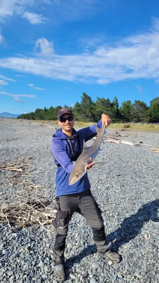
uploaded by: Mark Totzke

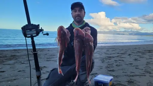
uploaded by: tajiran

uploaded by: Mark Totzke

uploaded by: Mark Totzke

uploaded by: Mark Totzke

uploaded by: Michael Mayse

uploaded by: primerone

uploaded by: v l

uploaded by: Shin_Benfield

uploaded by: Charles Clute


Comments