


How to use our fishing calendar
Planning your next fishing trip in Frome, Jamaica near Savanna-la-Mar ? Today is a average day for fishing. Our comprehensive fishing almanac combines our popular solunar bite times, moon times, sunrise and sunset times, nearby tide tables, and a 7-day fishing calendar so you always know the best fishing times in your area. We analyse major and minor solunar bite times, rate each day on a five-star scale, and pair it with localized weather forecasts so you can quickly tell whether today is a good day to fish without juggling multiple tabs. Be sure to bookmark this page so you never miss a bite. view bite times...
- Check our unique Solunar Clock for precise solunar bite times and the best moon phases.
- Use the Tide Clock section to sync bite times with high and low tide tables.
- Analyze the forecasted weather conditions, such as wind, barometric pressure and rain to plan your fishing session.
- Jump to the 7-Day Fishing Calendar for an extended fishing forecast, then explore nearby fishing spots on the interactive map.
Sun and Moon Times
-
Nautical Twilight begins:Sunrise:
-
Sunset:Nautical Twilight ends:
-
Moonrise:
-
Moonset:
-
Moon over:
-
Moon under:
-
Visibility:47%
-
 Third Quarter Moon
-
Distance to earth:382,332 kmProximity:54.9 %
Moon Phases for Frome
-
average Day
-
major Time:
 05:22 am -
07:22 am
05:22 am -
07:22 am
-
minor Time:11:28 am - 01:28 pm
-
major Time:
05:40 pm -
07:40 pm
-
minor Time:11:16 pm - 01:16 am
Tides Times for Fishing: Mon, 8 Jun
Tide Clock
Tide Graph
Times
| Tide | Time | Height |
|---|---|---|
| high | 03:40 am | 0.89 ft |
| low | 10:21 am | 0.46 ft |
| high | 04:16 pm | 0.69 ft |
| low | 08:59 pm | 0.52 ft |
Current Fishing Weather
Wind Speed and Direction
Wind Direction:
Wind Speed:
Wind Direction and Speed are one of the most important aspects for choosing a fishing spot. An offshore wind can help land-based anglers with longer casting distances, while an onshore wind will make kayak fishing safer. Often fish will also move to certain feeding areas depending on the wind direction. Check out the long term wind forecast at the charts below.
Fishing Barometer
Atmospheric Pressure:
Change since midnight:
Trend for next 6 hours:
Atmospheric or Barometric Pressure affects fish activity. The best fishing can be had on a rising barometer and also the time just before it is falling. A steady barometer in the higher ranges can also mean good fishing. A falling or low barometer reading without much change is usually not a very good time for fishing.
UV Effect on Fishing
As a rule of thumb, the higher the UV index, the deeper fish will move. Shallow water fishing is best done at times with a low UV index. When the UV is high, stick to early mornings, late evenings and shaded areas. The effect is less noticable in deeper water, but often a higher UV index can produce good results in the deep.
7 Day Fishing Weather
| Date | Major Bite Times | Minor Bite Times | Sun | Moon | Moonphase | Tide Times |
|---|---|---|---|---|---|---|
|
|
-
-
|
-
-
|
R: S: |
R: S: |
Third Quarter Moon |
high:
, 0.95 ft
, Coeff: 81
low:
, 0.66 ft
high:
, 0.66 ft
, Coeff: 31
low:
, 0.36 ft
|
|
|
-
-
|
-
-
|
R: S: |
R: S: |
Third Quarter Moon |
high:
, 0.89 ft
, Coeff: 70
low:
, 0.46 ft
high:
, 0.69 ft
, Coeff: 37
low:
, 0.52 ft
|
|
|
-
-
|
-
-
|
R: S: |
R: S: |
Third Quarter Moon |
high:
, 0.85 ft
, Coeff: 64
low:
, 0.26 ft
high:
, 0.82 ft
, Coeff: 59
low:
, 0.69 ft
|
|
|
-
-
|
-
-
|
R: S: |
R: S: |
Waning Crescent |
high:
, 0.85 ft
, Coeff: 64
low:
, 0.03 ft
high:
, 0.98 ft
, Coeff: 87
low:
, 0.85 ft
|
|
|
-
-
|
-
-
|
R: S: |
R: S: |
Waning Crescent |
high:
, 0.92 ft
, Coeff: 76
low:
, -0.2 ft
high:
, 1.12 ft
, Coeff: 109
|
|
|
-
-
|
-
-
|
R: S: |
R: S: |
Waning Crescent |
low:
, 0.98 ft
high:
, 0.98 ft
, Coeff: 87
low:
, -0.39 ft
high:
, 1.21 ft
, Coeff: 126
|
|
|
-
-
|
-
-
|
R: S: |
R: S: |
New Moon |
low:
, -0.52 ft
high:
, 1.28 ft
, Coeff: 137
|
|
|
-
-
|
-
-
|
R: S: |
R: S: |
New Moon |
low:
, -0.62 ft
high:
, 1.28 ft
, Coeff: 137
|
Interactive Fishing Map for the greater Frome area
Wharf's or Jetties are good places to wet a line and meet other fishermen. They often produce a fresh feed of fish and are also great to catch bait fish. As they are often well lit, they also provide a good opportunity for night fishing. There are 2 wharf(s) in this area.
Smithfield Wharf - 9.91929377403km , Hope Wharf - 11.26967788965km
Beaches and Bays are ideal places for land-based fishing. If the beach is shallow and the water is clear then twilight times are usually the best times, especially when they coincide with a major or minor fishing time. Often the points on either side of a beach are the best spots. Or if the beach is large then look for irregularities in the breaking waves, indicating sandbanks and holes. We found 3 beaches and bays in this area.
Little Bay - 14.22682794029km , Tom Pipers Bay - 17.26617625383km , Negro Bay Point - 17.46033145569km
Harbours and Marinas can often times be productive fishing spots for land based fishing as their sheltered environment attracts a wide variety of bait fish. Similar to river mouths, harbour entrances are also great places to fish as lots of fish will move in and out with the rising and falling tides. There are 2 main harbours in this area.
Green Island Harbour - 16.54315789036km, Lucea Harbour - 16.57603874947km
We found a total of 40 potential fishing spots nearby Frome. Below you can find them organized on a map. Points, Headlands, Reefs, Islands, Channels, etc can all be productive fishing spots. As these are user submitted spots, there might be some errors in the exact location. You also need to cross check local fishing regulations. Some of the spots might be in or around marine reserves or other locations that cannot be fished. If you click on a location marker it will bring up some details and a quick link to google search, satellite maps and fishing times. Tip: Click/Tap on a new area to load more fishing spots.
Morgans River - 3.28664571664km , Jenkins Pond - 5.04274670901km , Morass - 5.74147737528km , Thicket River - 5.74147737528km , Flamstead River - 6.71449729763km , Creesnock River - 6.72923403795km , Salt River - 6.8412292829km , Goodins River - 7.91669169616km , Roaring River - 8.62209137918km , Cabarita River - 8.69306993146km , Cabarita Point - 9.31068056962km , Robins Point - 9.35007822958km , Smithfield Wharf - 9.91929377403km , Deans Valley River - 10.08109546593km , Straws River - 10.50809533249km , New Savanna River - 11.24176041673km , Hope Wharf - 11.26967788965km , Sweet River - 11.47634943749km , Bluff Point - 12.03813448212km , Fish River - 12.61044874864km , Newfound River - 13.64188699236km , Saint John’s Point - 13.77698625094km , Lee Passage - 14.10974048842km , Little Bay - 14.22682794029km , South West Point - 14.25127079609km , Blenheim - 15.06832835879km , Prosper River - 15.70831345628km , Lucea East River - 16.17777155737km , Lucea West River - 16.21288985886km , Green Island Harbour - 16.54315789036km , Davis Cove River - 16.5503006988km , Friars Cap Point - 16.57578223131km , Lucea Harbour - 16.57603874947km , Pell River - 16.66005907111km , Eves River - 16.74804787757km , Bens Gut River - 17.26617625383km , Long Point - 17.26617625383km , Tom Pipers Bay - 17.26617625383km , Antonio Point - 17.30543481145km , Negro Bay Point - 17.46033145569km
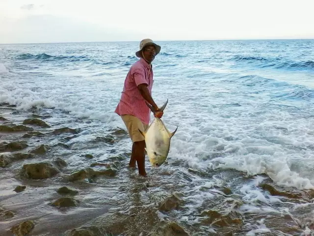
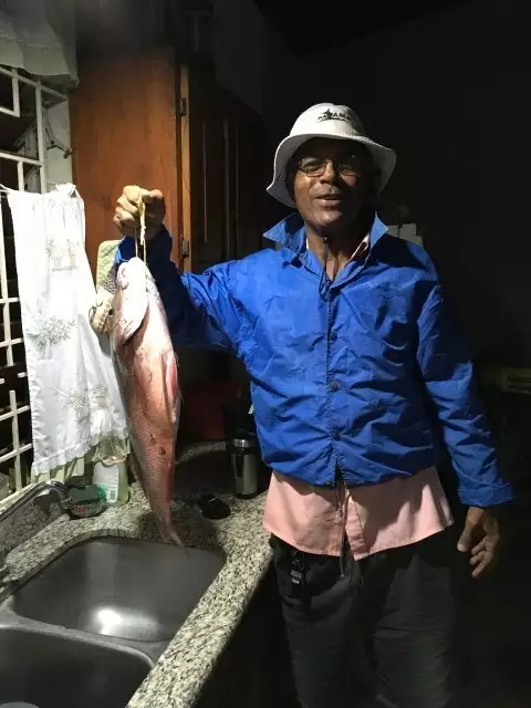
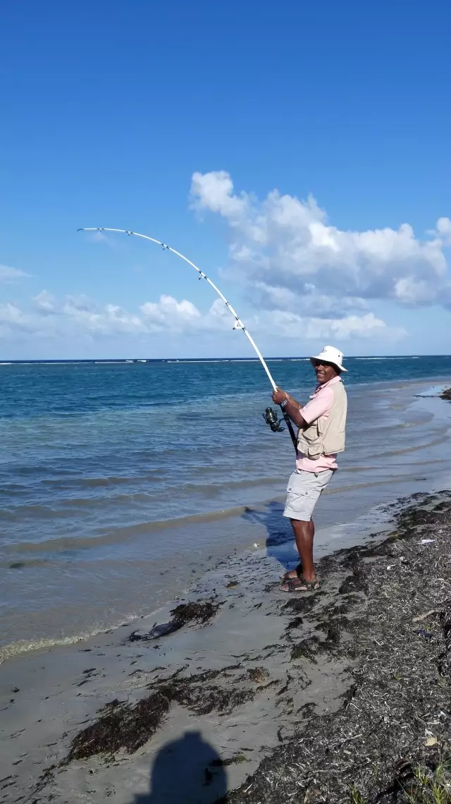
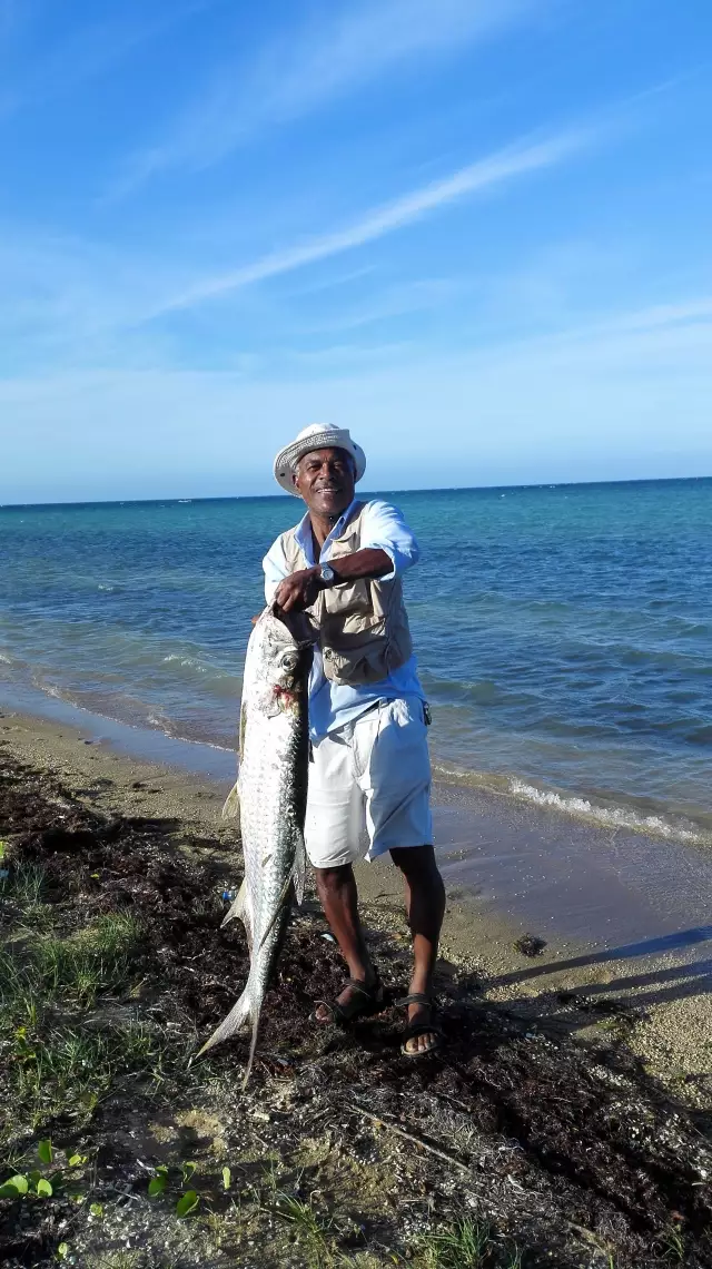
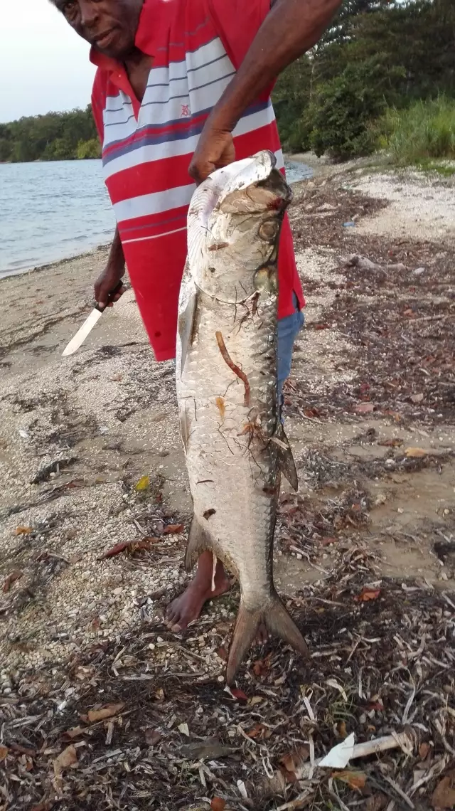
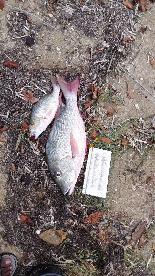
Latest Catches
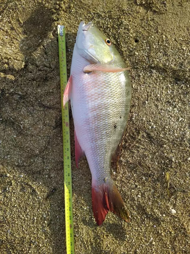
uploaded by: hat
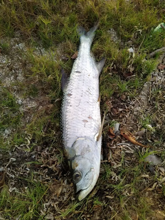
uploaded by: hat
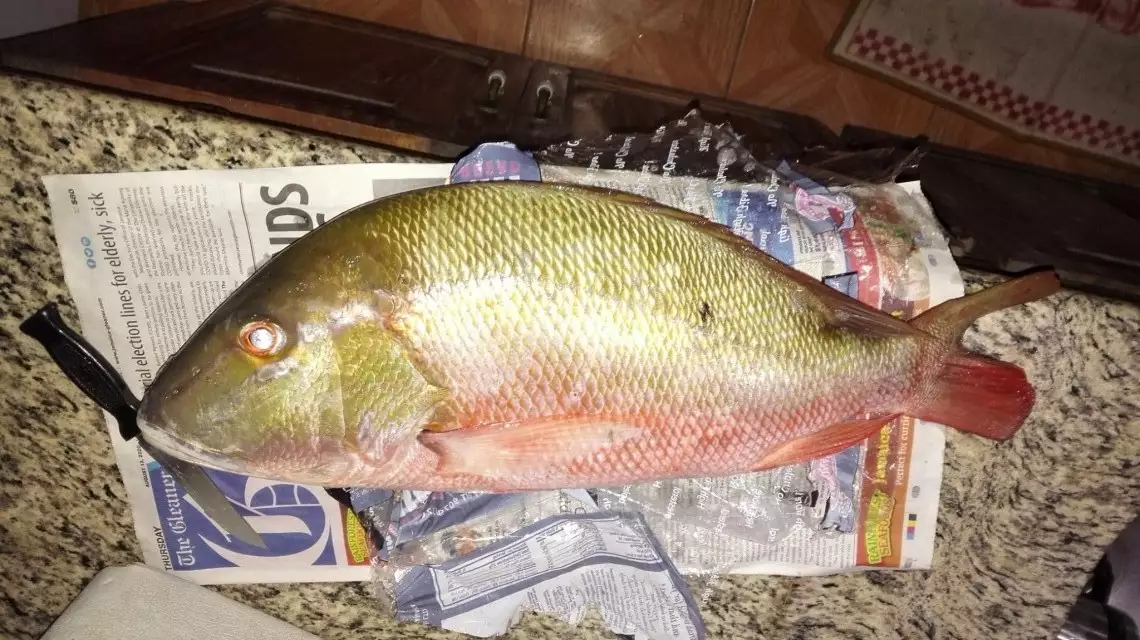
uploaded by: hat
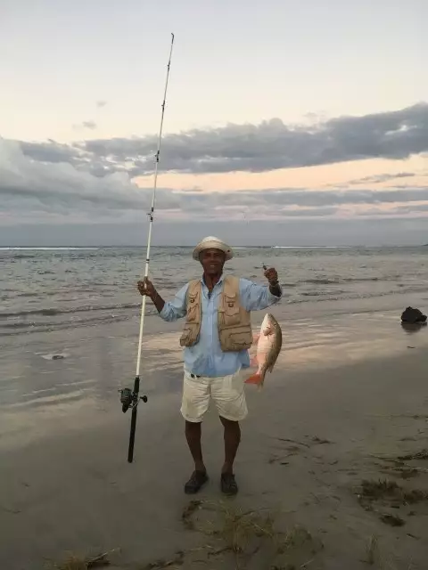
uploaded by: hat
uploaded by: hat
uploaded by: hat
uploaded by: hat
uploaded by: hat
uploaded by: hat
uploaded by: hat

")

Comments