-
Nautical Twilight begins:Sunrise:
-
Sunset:Nautical Twilight ends:
-
Moonrise:
-
Moonset:
-
Moon over:
-
Moon under:
-
Visibility:31%
-
 First Quarter Moon
-
Distance to earth:397,902 kmProximity:18.3 %
Moon Phases for Pensacola
-
average Day
-
major Time:04:08 am - 06:08 am
-
minor Time:11:31 am - 01:31 pm
-
major Time:
 04:30 pm -
06:30 pm
-
minor Time:09:30 pm - 11:30 pm
Tide Clock
Tide Graph
Times
| Tide | Time | Height |
|---|---|---|
| high | 02:01 am | 1.8 ft |
| low | 02:18 pm | -0.07 ft |
Wind Speed and Direction
Wind Direction:
Wind Speed:
Wind Direction and Speed are one of the most important aspects for choosing a fishing spot. An offshore wind can help land-based anglers with longer casting distances, while an onshore wind will make kayak fishing safer. Often fish will also move to certain feeding areas depending on the wind direction. Check out the long term wind forecast at the charts below.
Fishing Barometer
Atmospheric Pressure:
Change since midnight:
Trend for next 6 hours:
Atmospheric or Barometric Pressure affects fish activity. The best fishing can be had on a rising barometer and also the time just before it is falling. A steady barometer in the higher ranges can also mean good fishing. A falling or low barometer reading without much change is usually not a very good time for fishing.
UV Effect on Fishing
As a rule of thumb, the higher the UV index, the deeper fish will move. Shallow water fishing is best done at times with a low UV index. When the UV is high, stick to early mornings, late evenings and shaded areas. The effect is less noticable in deeper water, but often a higher UV index can produce good results in the deep.
| Date | Major Bite Times | Minor Bite Times | Sun | Moon | Moonphase | Tide Times |
|---|---|---|---|---|---|---|
|
|
-
-
|
-
-
|
R: S: |
R: S: |
First Quarter Moon |
high:
, 1.8 ft
, Coeff: 209
low:
, -0.07 ft
|
|
|
-
-
|
-
-
|
R: S: |
R: S: |
First Quarter Moon |
high:
, 1.8 ft
, Coeff: 209
low:
, -0.1 ft
|
|
|
-
-
|
-
-
|
R: S: |
R: S: |
First Quarter Moon |
high:
, 1.74 ft
, Coeff: 199
low:
, -0.07 ft
|
|
|
-
-
|
-
-
|
R: S: |
R: S: |
First Quarter Moon |
high:
, 1.61 ft
, Coeff: 178
low:
, 0.03 ft
|
|
|
-
-
|
-
-
|
R: S: |
R: S: |
Waxing Gibbous |
high:
, 1.41 ft
, Coeff: 146
low:
, 0.23 ft
|
|
|
-
-
|
-
-
|
R: S: |
R: S: |
Waxing Gibbous |
high:
, 1.15 ft
, Coeff: 104
low:
, 0.52 ft
high:
, 0.92 ft
, Coeff: 67
|
|
|
-
-
|
-
-
|
R: S: |
R: S: |
Waxing Gibbous |
low:
, 0.69 ft
high:
, 0.92 ft
, Coeff: 67
low:
, 0.79 ft
high:
, 1.15 ft
, Coeff: 104
|
October Fishing Report
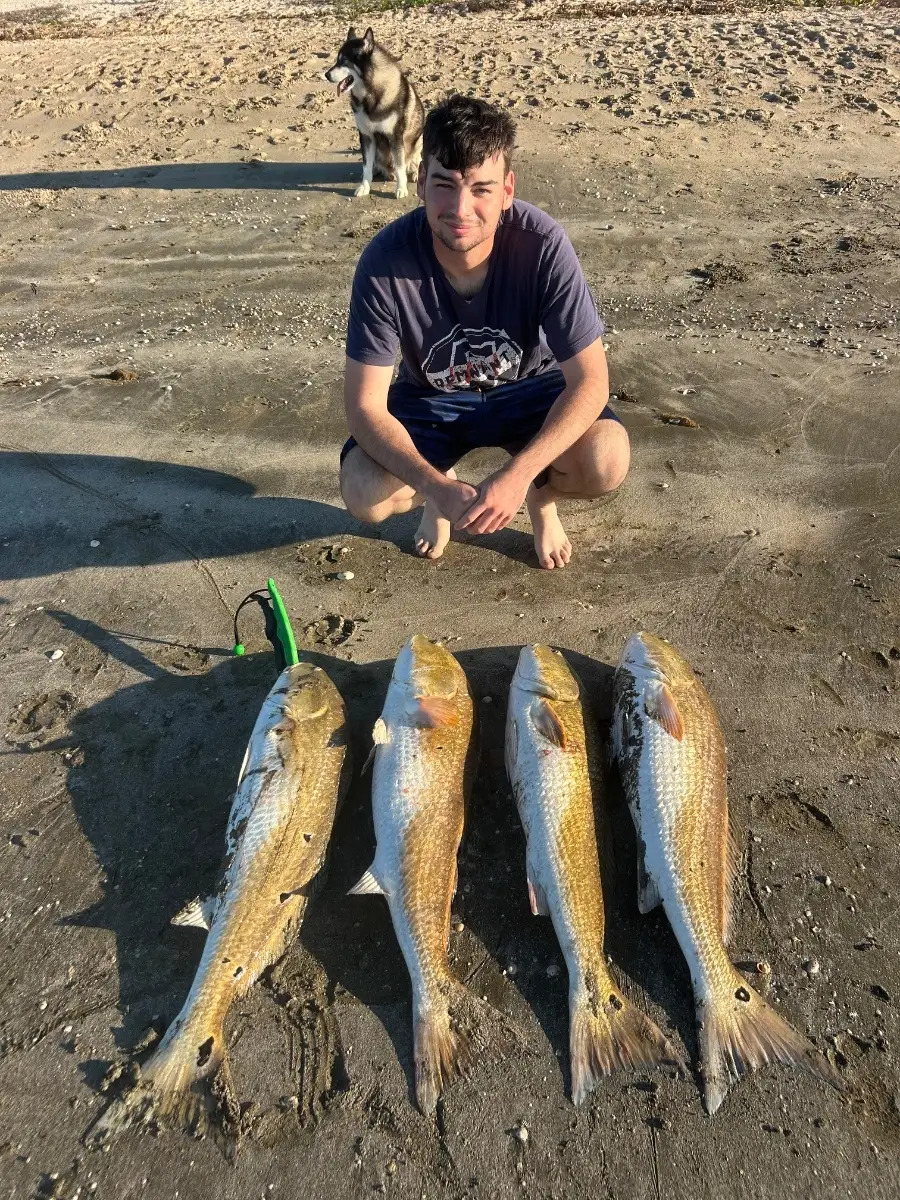
October brings cooler mornings and bait pushes around Pensacola Pass and the bays. Expect strong action on bull redfish roaming the beaches and bridges during moving tides at dawn and dusk. On the flats of Santa Rosa Sound and Big Lagoon, speckled trout chew over potholes early; switch from topwaters at first light to soft plastics as the sun rises.
Look for flounder staging along sand-to-grass edges and around docks; slow-roll jigs tipped with mullet strips. When the water is clear and the north breeze lays it down, schools of Spanish mackerel blitz birds outside the pass—cast small spoons or live pilchards. Offshore temperature breaks can hold blackfin tuna; troll feathers or drift live baits near rips.
Best baits: live shrimp, finger mullet, menhaden. Productive lures: topwater walkers, paddle-tail plastics, flashy spoons. Target current seams, bridge pilings, grass edges after a cool front when the water cleans up.
Top tip: For bull reds at the bridges, free-line a live mullet on 40–50 lb leader and circle hook, and let it sweep naturally with the tide to keep it in the strike zone longer.
Best Fishing Spots in the greater Pensacola area
Wharf's or Jetties are good places to wet a line and meet other fishermen. They often produce a fresh feed of fish and are also great to catch bait fish. As they are often well lit, they also provide a good opportunity for night fishing. There are 1 wharf(s) in this area.
Muscogee Wharf - 2.07474521644km
Beaches and Bays are ideal places for land-based fishing. If the beach is shallow and the water is clear then twilight times are usually the best times, especially when they coincide with a major or minor fishing time. Often the points on either side of a beach are the best spots. Or if the beach is large then look for irregularities in the breaking waves, indicating sandbanks and holes. We found 18 beaches and bays in this area.
Bayou Texar - 2.5915194432km , Bayou Chico - 3.78651365741km , Bayou Texter - 4.01401382143km , Pensacola Bay - 6.02638862457km , Davenport Bayou - 6.75304699592km , Redoubt Bayou - 9.68661194027km , Mustin Beach - 10.42880155076km , Bayou Marcus - 11.40184542593km , San Carlos Beach - 11.49378237148km , Little Sabine Bay - 11.64403627252km , Bayou Marcus - 11.66449297728km , Macky Bay - 13.55981438655km , Basin Bayou - 13.86576796146km , Ferry Pass Bayou - 14.42797654476km , Alligator Bayou - 14.64179932303km , Escambia Bay - 14.94171483601km , Trout Bayou - 15.33240750658km , Thompson Bayou - 15.60403415032km
Harbours and Marinas can often times be productive fishing spots for land based fishing as their sheltered environment attracts a wide variety of bait fish. Similar to river mouths, harbour entrances are also great places to fish as lots of fish will move in and out with the rising and falling tides. There are 1 main harbours in this area.
Davenport Bayou - 6.75304699592km
We found a total of 40 potential fishing spots nearby Pensacola. Below you can find them organized on a map. Points, Headlands, Reefs, Islands, Channels, etc can all be productive fishing spots. As these are user submitted spots, there might be some errors in the exact location. You also need to cross check local fishing regulations. Some of the spots might be in or around marine reserves or other locations that cannot be fished. If you click on a location marker it will bring up some details and a quick link to google search, satellite maps and fishing times. Tip: Click/Tap on a new area to load more fishing spots.
Muscogee Wharf - 2.07474521644km , Bayou Texar - 2.5915194432km , Bayou Chico - 3.78651365741km , Bayou Texter - 4.01401382143km , Carpenter Creek - 4.56600331835km , Pensacola Bay - 6.02638862457km , Davenport Bayou - 6.75304699592km , Old Navy Cove - 6.87351413567km , Bellshead Branch - 7.2347979628km , Turners Creek - 7.45442734244km , Butcherpen Cove - 8.42078234002km , Jones Swamp - 8.64599925273km , English Navy Cove - 9.05263882336km , Redoubt Bayou - 9.68661194027km , Mustin Beach - 10.42880155076km , Sabine Inlet - 11.27037332743km , Bayou Marcus - 11.40184542593km , San Carlos Beach - 11.49378237148km , Graveyard Branch - 11.5075531228km , Little Sabine Bay - 11.64403627252km , Bayou Marcus - 11.66449297728km , Lake Fan - 11.77646873668km , Fishing Bend - 12.06541731589km , Sherman Inlet - 12.90294303598km , Macky Bay - 13.55981438655km , Youngs Hammock - 13.65042553237km , Eightmile Creek - 13.73321857964km , Basin Bayou - 13.86576796146km , Sherman Cove - 13.92887493381km , Robertson Island - 13.99261520563km , Escambia River - 14.41255020331km , Ferry Pass Bayou - 14.42797654476km , Alligator Bayou - 14.64179932303km , Gum River - 14.8430983004km , Escambia Bay - 14.94171483601km , Hurst Branch - 15.02701761377km , Sullivans Ditch - 15.14830410357km , East River - 15.21105817497km , Trout Bayou - 15.33240750658km , Thompson Bayou - 15.60403415032km



Comments