-
Nautical Twilight begins:Sunrise:
-
Sunset:Nautical Twilight ends:
-
Moonrise:
-
Moonset:
-
Moon over:
-
Moon under:
-
Visibility:9%
-
 Waxing Crescent
-
Distance to earth:404,960 kmProximity:1.7 %
Moon Phases for Luling
-
excellent Day
-
major Time:01:38 am - 03:38 am
-
minor Time:09:04 am - 11:04 am
-
major Time:02:06 pm - 04:06 pm
-
minor Time:07:09 pm - 09:09 pm
Tide Clock
Tide Graph
Times
| Tide | Time | Height |
|---|---|---|
| high | 09:28 am | 0.43 ft |
| low | 09:26 pm | 0.07 ft |
Wind Speed and Direction
Wind Direction:
Wind Speed:
Wind Direction and Speed are one of the most important aspects for choosing a fishing spot. An offshore wind can help land-based anglers with longer casting distances, while an onshore wind will make kayak fishing safer. Often fish will also move to certain feeding areas depending on the wind direction. Check out the long term wind forecast at the charts below.
Fishing Barometer
Atmospheric Pressure:
Change since midnight:
Trend for next 6 hours:
Atmospheric or Barometric Pressure affects fish activity. The best fishing can be had on a rising barometer and also the time just before it is falling. A steady barometer in the higher ranges can also mean good fishing. A falling or low barometer reading without much change is usually not a very good time for fishing.
UV Effect on Fishing
As a rule of thumb, the higher the UV index, the deeper fish will move. Shallow water fishing is best done at times with a low UV index. When the UV is high, stick to early mornings, late evenings and shaded areas. The effect is less noticable in deeper water, but often a higher UV index can produce good results in the deep.
| Date | Major Bite Times | Minor Bite Times | Sun | Moon | Moonphase | Tide Times |
|---|---|---|---|---|---|---|
|
|
-
-
|
-
-
|
R: S: |
R: S: |
Waxing Crescent |
high:
, 0.43 ft
, Coeff: 106
low:
, 0.07 ft
|
|
|
-
-
|
-
-
|
R: S: |
R: S: |
Waxing Crescent |
high:
, 0.39 ft
, Coeff: 91
low:
, 0.07 ft
|
|
|
-
-
|
-
-
|
R: S: |
R: S: |
Waxing Crescent |
high:
, 0.39 ft
, Coeff: 91
low:
, 0.07 ft
|
|
|
-
-
|
-
-
|
R: S: |
R: S: |
First Quarter Moon |
high:
, 0.39 ft
, Coeff: 91
|
|
|
-
-
|
-
-
|
R: S: |
R: S: |
First Quarter Moon |
low:
, 0.07 ft
high:
, 0.43 ft
, Coeff: 106
low:
, 0.39 ft
high:
, 0.43 ft
, Coeff: 106
|
|
|
-
-
|
-
-
|
R: S: |
R: S: |
First Quarter Moon |
low:
, 0.03 ft
high:
, 0.43 ft
, Coeff: 106
|
|
|
-
-
|
-
-
|
R: S: |
R: S: |
First Quarter Moon |
low:
, 0.03 ft
high:
, 0.43 ft
, Coeff: 106
|
October Fishing Report
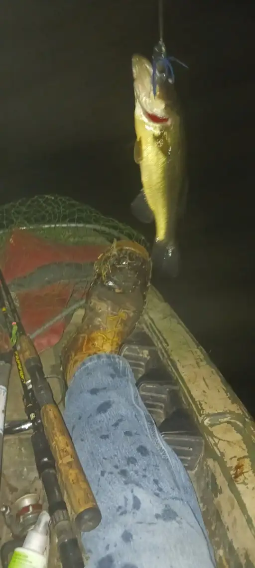
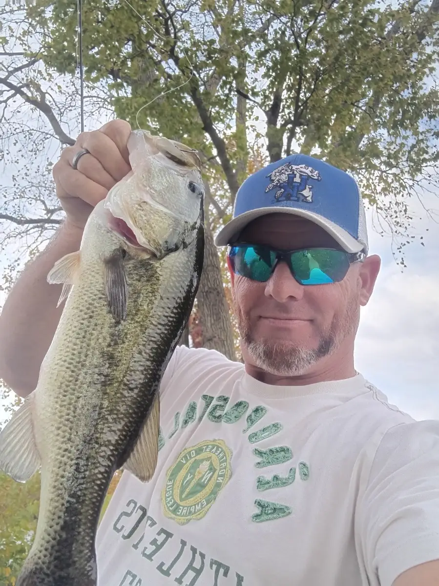
October brings cooler nights to Luling and steady flows on the San Marcos and lower Guadalupe, kicking off a reliable fall bite. Largemouth and Guadalupe bass are active along shaded banks, riffle transitions, and woody laydowns. Early and late topwater action can be strong; switch to squarebill crankbaits and spinnerbaits when the sun climbs, and drag Texas-rigged worms through slower pools. Channel catfish haunt deeper bends—soak cut shad or chicken liver on the bottom. Abundant sunfish keep ultralight anglers busy with small jigs and worms.
Best windows are dawn and dusk, especially after the first cool fronts when water temps dip into the upper 60s–low 70s. If recent rain stains the river, upsize blades and use darker profiles; in clear water, finesse plastics in natural hues excel. A light north breeze post-front can push bait to windward banks—work those edges methodically.
Top tip: Cover water quickly at first light with a walking bait, then immediately re-fish any swirl or miss with a weightless fluke to convert followers into hookups.
Best Fishing Spots in the greater Luling area
Beaches and Bays are ideal places for land-based fishing. If the beach is shallow and the water is clear then twilight times are usually the best times, especially when they coincide with a major or minor fishing time. Often the points on either side of a beach are the best spots. Or if the beach is large then look for irregularities in the breaking waves, indicating sandbanks and holes. We found 21 beaches and bays in this area.
Bayou des Saules - 7.30614955818km , Bayou Cypriere Longue - 7.49540099052km , Bayou Bois Piquant - 9.00946787967km , Bayou Crocodile - 9.39874356413km , Grand Bayou - 9.45821139876km , Bayou Traverse - 10.23157896767km , Bayou Petit - 10.54973271386km , Bayou Verret - 12.66269602227km , Bayou Trepagnier - 12.86454617768km , Bayou Saut D'Ours - 12.97860267168km , Bayou des Saules - 13.02739154066km , Bayou Piquant - 13.71979115448km , Bayou La Branche - 14.03314837323km , Bay Laurent - 14.0898956361km , Bayou Gaudin - 14.89567671106km , Knights Bay Island - 16.56059002638km , Knight Bay - 16.89731432434km , Bayou Pain - 18.15890929403km , Bayou Trois Chenes - 18.4168950536km , Bayou Fortier - 19.22959285272km , Bayou Lasseigne - 19.51681720566km
We found a total of 40 potential fishing spots nearby Luling. Below you can find them organized on a map. Points, Headlands, Reefs, Islands, Channels, etc can all be productive fishing spots. As these are user submitted spots, there might be some errors in the exact location. You also need to cross check local fishing regulations. Some of the spots might be in or around marine reserves or other locations that cannot be fished. If you click on a location marker it will bring up some details and a quick link to google search, satellite maps and fishing times. Tip: Click/Tap on a new area to load more fishing spots.
Davis Pond - 3.6790973311km , Bayou des Saules - 7.30614955818km , Bayou Cypriere Longue - 7.49540099052km , Bayou Bois Piquant - 9.00946787967km , Bayou Crocodile - 9.39874356413km , Grand Bayou - 9.45821139876km , Bayou Traverse - 10.23157896767km , Johnson Island - 10.26700357628km , Bayou Petit - 10.54973271386km , Bonnet Carre Spillway Dam - 10.6080874899km , Cypress Island - 11.32655802541km , Waggaman Pond (historical) - 11.45201443388km , Summers Island - 11.58539908394km , Victor Island - 12.5129179261km , Willswood Pond (historical) - 12.55391454908km , Bird Island - 12.5971847925km , Bayou Verret - 12.66269602227km , Bayou Trepagnier - 12.86454617768km , Bayou Saut D'Ours - 12.97860267168km , Bayou des Saules - 13.02739154066km , Bayou Piquant - 13.71979115448km , Martins Island - 13.78927604267km , Bayou La Branche - 14.03314837323km , Bay Laurent - 14.0898956361km , Bayou Gaudin - 14.89567671106km , Bonnet Carre Island - 15.34671305278km , Simoneaux Ponds - 15.35736552441km , Baie Des Deux Chenes - 16.11794493184km , Knights Bay Island - 16.56059002638km , Knight Bay - 16.89731432434km , Black Prince Island - 17.20064581839km , Petit Lac Des Allemands - 17.2315332007km , Lake Cataouatche - 17.23714493768km , Dufrene Ponds - 17.89120994939km , Bayou Pain - 18.15890929403km , Bayou Trois Chenes - 18.4168950536km , Baie des Chactas - 18.78971585007km , Bayou Fortier - 19.22959285272km , Bayou Lasseigne - 19.51681720566km , Baie du Cabanage - 19.57051200364km



Comments