


How to use our fishing calendar
Planning your next fishing trip in Morristown, United States ? Today is a average day for fishing. Our comprehensive fishing almanac combines our popular solunar tables, moon times, sunrise and sunset times, nearby tide chart, and a 7-day fishing calendar so you always know the best fishing times in your area. We analyse major and minor solunar bite times, rate each day on a five-star scale, and pair it with localized weather forecasts so you can quickly tell whether today is a good day to fish without juggling multiple tabs. Be sure to bookmark this page so you never miss a bite. view bite times...
- Check our unique Solunar Clock for precise solunar tables and the best moon phases.
- Use the Tide Clock section to sync bite times with high and low tide chart.
- Analyze the forecasted weather conditions, such as wind, barometric pressure and rain to plan your fishing session.
- Jump to the 7-Day Fishing Calendar for an extended fishing forecast, then explore nearby fishing spots on the interactive map.
Fishing in Morristown, Tennessee centers around the rich waters of Cherokee Lake and the nearby Holston River, offering anglers year-round action in East Tennessee’s hill country. From trophy striped bass and crappie on Cherokee to smallmouth and stocked trout in local rivers, Morristown provides a diverse mix of fishing opportunities for boaters and bank anglers alike. read more...
Sun and Moon Times
-
Nautical Twilight begins:Sunrise:
-
Sunset:Nautical Twilight ends:
-
Moonrise:
-
Moonset:
-
Moon over:
-
Moon under:
-
Visibility:65%
-
 First Quarter Moon
-
Distance to earth:405,078 kmProximity:1.5 %
Moon Phases for Morristown
-
average Day
-
major Time:06:43 am - 08:43 am
-
minor Time:02:51 pm - 04:51 pm
-
major Time:
 07:09 pm -
09:09 pm
07:09 pm -
09:09 pm
-
minor Time:11:28 pm - 01:28 am
Tides Times for Fishing: Fri, 21 Aug
Tide Clock
Tide Graph
Times
| Tide | Time | Height |
|---|---|---|
| high | 03:41 am | 4.59 ft |
| low | 10:38 am | 1.67 ft |
| high | 04:06 pm | 5.61 ft |
| low | 11:35 pm | 1.41 ft |
Current Fishing Weather
Wind Speed and Direction
Wind Direction:
Wind Speed:
Wind Direction and Speed are one of the most important aspects for choosing a fishing spot. An offshore wind can help land-based anglers with longer casting distances, while an onshore wind will make kayak fishing safer. Often fish will also move to certain feeding areas depending on the wind direction. Check out the long term wind forecast at the charts below.
Fishing Barometer
Atmospheric Pressure:
Change since midnight:
Trend for next 6 hours:
Atmospheric or Barometric Pressure affects fish activity. The best fishing can be had on a rising barometer and also the time just before it is falling. A steady barometer in the higher ranges can also mean good fishing. A falling or low barometer reading without much change is usually not a very good time for fishing.
UV Effect on Fishing
As a rule of thumb, the higher the UV index, the deeper fish will move. Shallow water fishing is best done at times with a low UV index. When the UV is high, stick to early mornings, late evenings and shaded areas. The effect is less noticable in deeper water, but often a higher UV index can produce good results in the deep.
7 Day Fishing Weather
| Date | Major Bite Times | Minor Bite Times | Sun | Moon | Moonphase | Tide Times |
|---|---|---|---|---|---|---|
|
|
-
-
|
-
-
|
R: S: |
R: S: |
First Quarter Moon |
high:
, 4.82 ft
, Coeff: 72
low:
, 1.51 ft
high:
, 5.74 ft
, Coeff: 100
low:
, 1.51 ft
|
|
|
-
-
|
-
-
|
R: S: |
R: S: |
First Quarter Moon |
high:
, 4.59 ft
, Coeff: 64
low:
, 1.67 ft
high:
, 5.61 ft
, Coeff: 96
low:
, 1.41 ft
|
|
|
-
-
|
-
-
|
R: S: |
R: S: |
 Waxing Gibbous |
high:
, 4.53 ft
, Coeff: 62
low:
, 1.64 ft
high:
, 5.64 ft
, Coeff: 97
|
|
|
-
-
|
-
-
|
R: S: |
R: S: |
Waxing Gibbous |
low:
, 1.25 ft
high:
, 4.63 ft
, Coeff: 65
low:
, 1.51 ft
high:
, 5.77 ft
, Coeff: 101
|
|
|
-
-
|
-
-
|
R: S: |
R: S: |
Waxing Gibbous |
low:
, 1.05 ft
high:
, 4.86 ft
, Coeff: 73
low:
, 1.28 ft
high:
, 6 ft
, Coeff: 109
|
|
|
-
-
|
-
-
|
R: S: |
R: S: |
Waxing Gibbous |
low:
, 0.79 ft
high:
, 5.15 ft
, Coeff: 82
low:
, 1.05 ft
high:
, 6.23 ft
, Coeff: 116
|
|
|
-
-
|
-
-
|
R: S: |
R: S: |
 Full Moon |
low:
, 0.52 ft
high:
, 5.45 ft
, Coeff: 91
low:
, 0.82 ft
high:
, 6.43 ft
, Coeff: 122
|
|
|
-
-
|
-
-
|
R: S: |
R: S: |
Full Moon |
low:
, 0.3 ft
high:
, 5.71 ft
, Coeff: 99
low:
, 0.62 ft
high:
, 6.53 ft
, Coeff: 125
|
Fishing Overview Morristown
Fishing in Morristown, TN revolves around Cherokee Lake and the Holston River system, two of East Tennessee’s most productive multispecies fisheries. The lake’s winding coves, long gravel points and flooded timber hold quality bass, while deep creek channels and brushpiles stack up crappie. River arms and tailwater-style flows attract stripes, walleye and catfish, giving local anglers a wide range of options without leaving Hamblen County.
Seasonal patterns on Cherokee Lake drive most fishing decisions around Morristown. In early spring, prespawn largemouth and smallmouth push shallow into warming pockets and pea-gravel banks. Focus on north-facing coves with small crankbaits, suspending jerkbaits and 3–4 inch soft-plastic swimbaits slow-rolled around secondary points. As water creeps into the 60s, a simple Texas-rigged creature bait pitched to laydowns and boat docks in Panther Creek and other mid-lake creeks produces consistent bites.
By late spring and early summer, bass transition to offshore structure. Long main-lake points, channel bends and humps in 12–25 feet become prime. Graph first, then fish schools with Carolina rigs, football jigs and deep-diving crankbaits. Spotted bass often school just off breaks; a drop-shot with a small finesse worm will keep you on bites when largemouth are finicky. Early and late in the day, keep a topwater walking bait ready—surface schooling activity around shad can erupt quickly on calm mornings.
Striped and hybrid bass are a major draw near Morristown. Spring finds them running up the river arms, where casting 1/2–1 oz jigging spoons, flukes on heavy jig heads, or live shad in current breaks is effective. In summer, use electronics to locate deep bait clouds over creek channels and mid-lake basins; downlines or free-lines with live alewives or shad catch quality fish. Night fishing around lighted marinas or bridge pilings with swimbaits and bucktail jigs can be outstanding when daytime boat traffic is heavy.
Crappie and panfish thrive in Cherokee’s brushy cover. In late winter and early spring, target staging fish on channel edges and deeper brushpiles with 1/16 oz marabou or tube jigs, tipping with a small minnow if needed. During the spawn, work shallow brush, riprap and dock pilings with float-and-jig setups in 3–8 feet of water. Through summer and fall, crappie slide back to brush in 12–20 feet; use electronics to mark cover and vertically present small plastics or minnows directly over the pile. Bluegill and redear sunfish are abundant around gravel banks and docks—perfect for simple worm-and-float rigs.
The Holston River and nearby tailwaters give Morristown anglers moving-water options. Smallmouth bass relate to current seams, rock ledges and eddies; 3–4 inch craw-style plastics, compact spinnerbaits and small topwaters shine from late spring through fall. Walleye and sauger hold near deeper bends and below shoals—jigging soft plastics, minnows or vertical spoons tight to bottom is most productive in colder months and low-light periods. Stocked trout in cooler stretches respond to inline spinners, small jerkbaits and drifted natural baits under lightweight tackle.
Tactical tips: In clear water, downsize line—8–10 lb fluorocarbon for bass and 4–6 lb for crappie will noticeably increase bites. Let water temperature and baitfish presence dictate depth: use your electronics constantly, and don’t waste time on “naked” spots. Wind-blown banks often outproduce calm ones for bass and stripers, while crappie and panfish favor protected pockets with cover. Morristown’s mix of lake and river habitat means that, with a couple of versatile rod setups and a small selection of finesse plastics, jigs, crankbaits and live bait options, you can stay on fish 12 months a year.
Interactive Fishing Map for the greater Morristown area
Beaches and Bays are ideal places for land-based fishing. If the beach is shallow and the water is clear then twilight times are usually the best times, especially when they coincide with a major or minor fishing time. Often the points on either side of a beach are the best spots. Or if the beach is large then look for irregularities in the breaking waves, indicating sandbanks and holes. We found 1 beaches and bays in this area.
Great Bay - 10.27377946833km
We found a total of 40 potential fishing spots nearby Morristown. Below you can find them organized on a map. Points, Headlands, Reefs, Islands, Channels, etc can all be productive fishing spots. As these are user submitted spots, there might be some errors in the exact location. You also need to cross check local fishing regulations. Some of the spots might be in or around marine reserves or other locations that cannot be fished. If you click on a location marker it will bring up some details and a quick link to google search, satellite maps and fishing times. Tip: Click/Tap on a new area to load more fishing spots.
Pocahontas Dam - 0.82907312452km , Speedwell Dam - 1.81026064373km , North Branch Whippany River - 1.94048554613km , Jaqui Dam - 3.26956078096km , Silver Brook - 4.26954860722km , Eden Mill Dam - 4.92717344791km , Sunrise Lake Dam - 5.4539005005km , Lee Meadows - 5.69511785523km , Walnut Creek - 5.71544103177km , Malapardis Brook - 6.23115094639km , Black Meadows - 6.38895161104km , Lake Parsippany Dyke Number One - 6.73760784153km , Washington Corner Dam - 7.03925135511km , Ledells Pond - 7.0609563201km , Shongum Lake Dam - 7.20285731468km , Harmony Brook - 7.27135135687km , Bee Meadow Pond - 7.27239609487km , Mount Kemble Lake Dam - 7.35121163364km , Lake Parsippany Dam - 7.36698843264km , Black Brook - 7.49282102991km , Openaka Lake Dam - 7.66505035967km , Powder Mill Pond Dam - 7.68827446708km , Mount Tabor Lake Dam - 7.93267552126km , Loantaka Brook - 7.9794808747km , Morristown Reservoir Dam - 8.40573540257km , Indian Grave Brook - 8.43973582447km , Van Dorans Mill Dam - 8.76554738591km , Den Brook - 9.07258848804km , Primrose Brook - 9.27643313861km , Rainbow Lakes - 9.41124251293km , Eastmans Brook - 9.58012642293km , Estling Lake Dam - 9.60321042798km , Forge Pond - 9.60683555665km , Spring Garden Brook - 9.64542699286km , McVickers Brook - 9.96397868667km , West Brook - 10.04596920403km , Great Bay - 10.27377946833km , Penns Brook - 10.29113899313km , Dalrymple Pond Dam - 10.31879382041km , Holstein Lake - 10.34034187258km
 Harbours and
Marinas
Harbours and
Marinas
 Beaches
 Bays
Bays
 Wharfs
 Points,Reefs,etc
Latest Catches

uploaded by: Blast Master

uploaded by: Pep

uploaded by: Pep

uploaded by: Robert Raffle

uploaded by: Robert Raffle

uploaded by: Johnnie Williams

uploaded by: Johnnie Williams

uploaded by: Alex Pagels

uploaded by: rich77
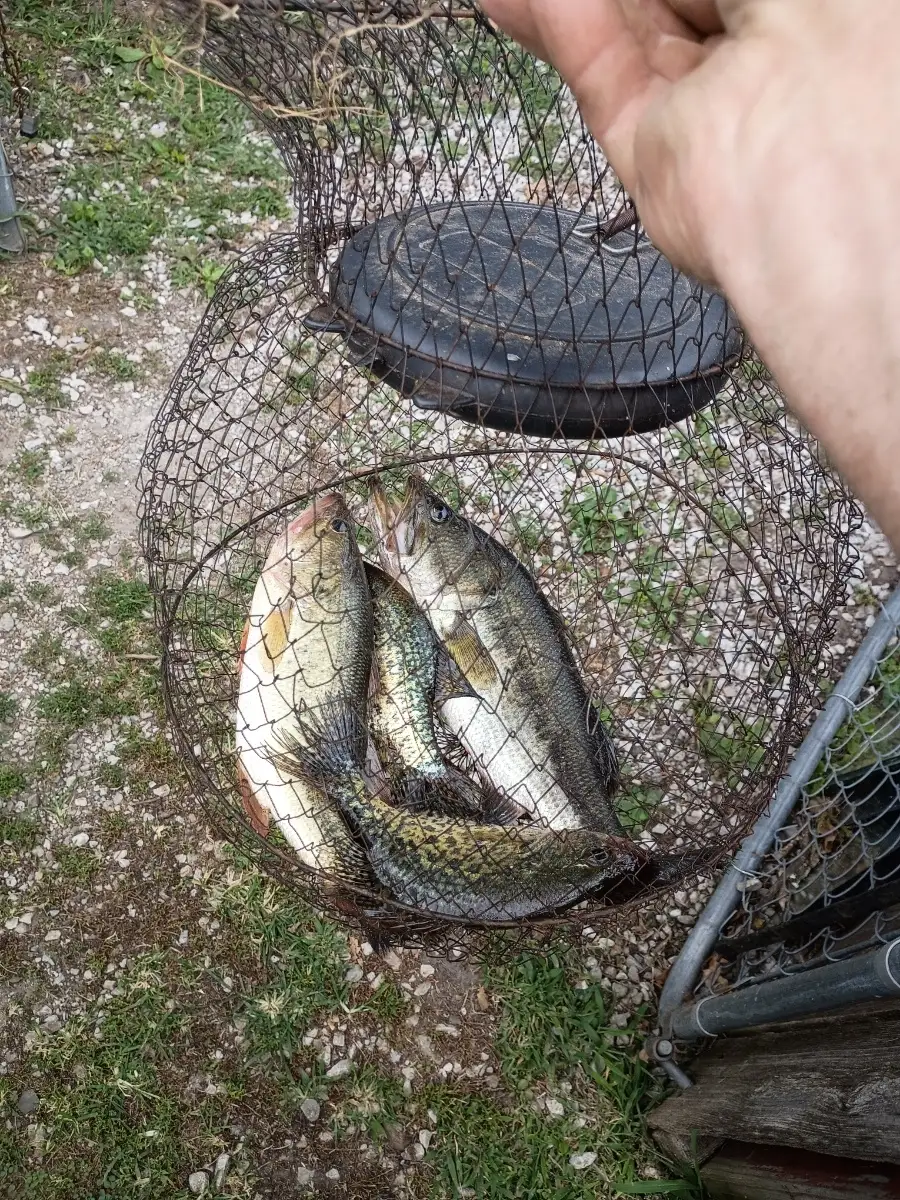
uploaded by: Charlie Pifer


Comments