-
Nautical Twilight begins:Sunrise:
-
Sunset:Nautical Twilight ends:
-
Moonrise:
-
Moonset:
-
Moon over:
-
Moon under:
-
Visibility:1%
-
 New Moon
-
Distance to earth:405,064 kmProximity:1.5 %
Moon Phases for Lincolnia
-
excellent Day
-
major Time:12:04 am - 02:04 am
-
minor Time:07:34 am - 09:34 am
-
major Time:12:35 pm - 02:35 pm
-
minor Time:
 05:37 pm -
07:37 pm
Tide Clock
Tide Graph
Times
| Tide | Time | Height |
|---|---|---|
| low | 04:06 am | 0.26 ft |
| high | 09:40 am | 3.02 ft |
| low | 03:55 pm | 0.3 ft |
| high | 09:49 pm | 3.41 ft |
Wind Speed and Direction
Wind Direction:
Wind Speed:
Wind Direction and Speed are one of the most important aspects for choosing a fishing spot. An offshore wind can help land-based anglers with longer casting distances, while an onshore wind will make kayak fishing safer. Often fish will also move to certain feeding areas depending on the wind direction. Check out the long term wind forecast at the charts below.
Fishing Barometer
Atmospheric Pressure:
Change since midnight:
Trend for next 6 hours:
Atmospheric or Barometric Pressure affects fish activity. The best fishing can be had on a rising barometer and also the time just before it is falling. A steady barometer in the higher ranges can also mean good fishing. A falling or low barometer reading without much change is usually not a very good time for fishing.
UV Effect on Fishing
As a rule of thumb, the higher the UV index, the deeper fish will move. Shallow water fishing is best done at times with a low UV index. When the UV is high, stick to early mornings, late evenings and shaded areas. The effect is less noticable in deeper water, but often a higher UV index can produce good results in the deep.
| Date | Major Bite Times | Minor Bite Times | Sun | Moon | Moonphase | Tide Times |
|---|---|---|---|---|---|---|
|
|
-
-
|
-
-
|
R: S: |
R: S: |
New Moon |
low:
, 0.26 ft
high:
, 3.02 ft
, Coeff: 100
low:
, 0.3 ft
high:
, 3.41 ft
, Coeff: 124
|
|
|
-
-
|
-
-
|
R: S: |
R: S: |
Waxing Crescent |
low:
, 0.33 ft
high:
, 2.92 ft
, Coeff: 95
low:
, 0.36 ft
high:
, 3.38 ft
, Coeff: 122
|
|
|
-
-
|
-
-
|
R: S: |
R: S: |
Waxing Crescent |
low:
, 0.43 ft
high:
, 2.85 ft
, Coeff: 91
low:
, 0.43 ft
high:
, 3.28 ft
, Coeff: 116
|
|
|
-
-
|
-
-
|
R: S: |
R: S: |
Waxing Crescent |
low:
, 0.49 ft
high:
, 2.79 ft
, Coeff: 87
low:
, 0.46 ft
high:
, 3.22 ft
, Coeff: 112
|
|
|
-
-
|
-
-
|
R: S: |
R: S: |
Waxing Crescent |
low:
, 0.59 ft
high:
, 2.72 ft
, Coeff: 83
low:
, 0.49 ft
|
|
|
-
-
|
-
-
|
R: S: |
R: S: |
Waxing Crescent |
high:
, 3.15 ft
, Coeff: 108
low:
, 0.62 ft
high:
, 2.69 ft
, Coeff: 81
low:
, 0.52 ft
|
|
|
-
-
|
-
-
|
R: S: |
R: S: |
First Quarter Moon |
high:
, 3.08 ft
, Coeff: 104
low:
, 0.62 ft
high:
, 2.66 ft
, Coeff: 79
low:
, 0.56 ft
|
October Fishing Report
Cool October nights around Lincolnia have pushed bait shallow, and the fall bite is turning on. Expect water temps in the low–mid 60s, clearer flows after fronts, and active fish on moving water or wind-blown banks.
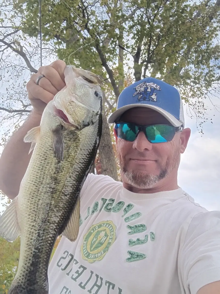
Largemouth bass are feeding along riprap, creek mouths, and dying grass edges on the Tidal Potomac and local ponds. Work small squarebills, chatterbaits, and finesse jigs. Crappie are stacking on brush, docks, and bridge pilings—suspend 1/16–1/32 oz jigs or minnows 6–10 ft down. For a tug-of-war, blue and channel catfish are steady on channel edges; use fresh cut bait. Remaining grass mats can still hold snakehead—frogs early, then subsurface swimbaits. On current breaks and pilings, watch for schoolie striped bass slashing bait at first light.
Best windows: first light and last hour before dark, plus an outgoing tide on the Potomac. After cold fronts, slow down with ned rigs and drop-shots in 6–12 ft.
Top tip: Match the hatch—downsize to 2–3 inch shad-profile baits and silver/white patterns when baitfish are thick; the smaller profile dramatically increases strikes in clear, cool fall water.
Best Fishing Spots in the greater Lincolnia area
Harbours and Marinas can often times be productive fishing spots for land based fishing as their sheltered environment attracts a wide variety of bait fish. Similar to river mouths, harbour entrances are also great places to fish as lots of fish will move in and out with the rising and falling tides. There are 4 main harbours in this area.
Washington Sailing Marina - 8.66555758933km, Belle Haven Marina - 9.26673334448km, Pentagon Lagoon Yacht Basin - 9.87057925916km, Columbia Island Marina - 9.94496002035km
We found a total of 40 potential fishing spots nearby Lincolnia. Below you can find them organized on a map. Points, Headlands, Reefs, Islands, Channels, etc can all be productive fishing spots. As these are user submitted spots, there might be some errors in the exact location. You also need to cross check local fishing regulations. Some of the spots might be in or around marine reserves or other locations that cannot be fished. If you click on a location marker it will bring up some details and a quick link to google search, satellite maps and fishing times. Tip: Click/Tap on a new area to load more fishing spots.
Lehigh Dam - 2.24544658513km , Turkeycock Run - 2.24834158447km , Lake Barcroft Dam - 2.60755444206km , Backlick Run - 2.80536953969km , Holmes Run - 3.02847311311km , Tripps Run - 4.21862848764km , Doctors Run - 4.62830611915km , Lucky Run - 4.75889777902km , Lubber Run - 5.37555766847km , Pike Branch - 5.68002377094km , Taylor Run - 6.12049147233km , Timber Branch - 6.21206683458km , Flag Run - 7.1657830261km , Hooff Run - 7.41270773359km , Accotink Dam - 7.44022423622km , Calamo Branch - 7.6364530648km , Cameron Run - 7.8085075102km , Quander Brook - 7.95894949553km , Barnyard Run - 8.010991889km , Piney Run - 8.2144662346km , Four Mile Run - 8.57105155005km , Washington Sailing Marina - 8.66555758933km , Daingerfield Island - 8.69556261556km , Hilltop Dam - 8.73055252562km , Crook Branch - 9.02971622276km , Belle Haven Marina - 9.26673334448km , Goose Island - 9.64114871199km , Dyke Island - 9.68882805465km , Dyke Marsh - 9.7813177715km , Coconut Island - 9.85746161195km , Pentagon Lagoon Yacht Basin - 9.87057925916km , Columbia Island Marina - 9.94496002035km , Oxon Creek - 9.94547330367km , Field Lark Branch - 9.96148717625km , Oxon Creek - 9.96868887922km , Columbia Island - 9.97701908382km , Hog Island Gut - 10.13155269911km , Roaches Run - 10.22228596546km , Windy Run - 10.35593943909km , Spout Run - 10.38805769942km



Comments