


-
Nautical Twilight begins:Sunrise:
-
Sunset:Nautical Twilight ends:
-
Moonrise:
-
Moonset:
-
Moon over:
-
Moon under:
-
Visibility:3%
-
 New Moon
-
Distance to earth:398,421 kmProximity:17.1 %
Moon Phases for Palmira
-
average Day
-
minor Time:04:42 am - 06:42 am
-
major Time:10:45 am - 12:45 pm
-
minor Time:04:48 pm - 06:48 pm
-
major Time:11:10 pm - 01:10 am
Tide Clock
Tide Graph
Times
| Tide | Time | Height |
|---|---|---|
| low | 03:09 am | 0.39 ft |
| high | 09:26 am | 1.35 ft |
| low | 03:51 pm | 0.49 ft |
| high | 09:24 pm | 1.15 ft |
Wind Speed and Direction
Wind Direction:
Wind Speed:
Wind Direction and Speed are one of the most important aspects for choosing a fishing spot. An offshore wind can help land-based anglers with longer casting distances, while an onshore wind will make kayak fishing safer. Often fish will also move to certain feeding areas depending on the wind direction. Check out the long term wind forecast at the charts below.
Fishing Barometer
Atmospheric Pressure:
Change since midnight:
Trend for next 6 hours:
Atmospheric or Barometric Pressure affects fish activity. The best fishing can be had on a rising barometer and also the time just before it is falling. A steady barometer in the higher ranges can also mean good fishing. A falling or low barometer reading without much change is usually not a very good time for fishing.
UV Effect on Fishing
As a rule of thumb, the higher the UV index, the deeper fish will move. Shallow water fishing is best done at times with a low UV index. When the UV is high, stick to early mornings, late evenings and shaded areas. The effect is less noticable in deeper water, but often a higher UV index can produce good results in the deep.
| Date | Major Bite Times | Minor Bite Times | Sun | Moon | Moonphase | Tide Times |
|---|---|---|---|---|---|---|
|
|
-
-
|
-
-
|
R: S: |
R: S: |
New Moon |
low:
, 0.39 ft
high:
, 1.35 ft
, Coeff: 136
low:
, 0.49 ft
high:
, 1.15 ft
, Coeff: 104
|
|
|
-
-
|
-
-
|
R: S: |
R: S: |
New Moon |
low:
, 0.33 ft
high:
, 1.44 ft
, Coeff: 152
low:
, 0.49 ft
high:
, 1.05 ft
, Coeff: 88
|
|
|
-
-
|
-
-
|
R: S: |
R: S: |
New Moon |
low:
, 0.26 ft
high:
, 1.48 ft
, Coeff: 157
low:
, 0.49 ft
high:
, 0.95 ft
, Coeff: 73
|
|
|
-
-
|
-
-
|
R: S: |
R: S: |
New Moon |
low:
, 0.2 ft
high:
, 1.51 ft
, Coeff: 162
low:
, 0.52 ft
high:
, 0.85 ft
, Coeff: 57
|
|
|
-
-
|
-
-
|
R: S: |
R: S: |
Waxing Crescent |
low:
, 0.16 ft
high:
, 1.48 ft
, Coeff: 157
low:
, 0.52 ft
high:
, 0.79 ft
, Coeff: 46
|
|
|
-
-
|
-
-
|
R: S: |
R: S: |
Waxing Crescent |
low:
, 0.13 ft
high:
, 1.48 ft
, Coeff: 157
low:
, 0.56 ft
high:
, 0.75 ft
, Coeff: 41
|
|
|
-
-
|
-
-
|
R: S: |
R: S: |
Waxing Crescent |
low:
, 0.13 ft
high:
, 1.44 ft
, Coeff: 152
low:
, 0.59 ft
|
Best Fishing Spots in the greater Palmira area
Harbours and Marinas can often times be productive fishing spots for land based fishing as their sheltered environment attracts a wide variety of bait fish. Similar to river mouths, harbour entrances are also great places to fish as lots of fish will move in and out with the rising and falling tides. There are 1 main harbours in this area.
Cienfuegos - 12.79176812307km
We found a total of 40 potential fishing spots nearby Palmira. Below you can find them organized on a map. Points, Headlands, Reefs, Islands, Channels, etc can all be productive fishing spots. As these are user submitted spots, there might be some errors in the exact location. You also need to cross check local fishing regulations. Some of the spots might be in or around marine reserves or other locations that cannot be fished. If you click on a location marker it will bring up some details and a quick link to google search, satellite maps and fishing times. Tip: Click/Tap on a new area to load more fishing spots.
Saladito - 9.61722250152km , Arroyo Inglés - 10.81589470745km , Punta Caoba - 11.49128526391km , Cayo Loco - 11.98245542164km , Punta Ramírez - 12.54803544019km , Punta Verde - 12.58340771663km , Cienfuegos - 12.79176812307km , Punta Los Curas - 12.873952151km , Salado - 12.89567253374km , Punta Arenas - 13.35826448022km , Punta Revienta Cordeles - 13.48302998274km , Punta Yerba - 13.63994547648km , Punta Majagua - 13.84821104084km , Laguna del Cura - 13.8936461035km , Punta del Medio - 14.35467239723km , Punta de la Cueva - 14.73045641367km , Punta Soriano - 14.79999354893km , Cayo Ratón - 14.8455376526km , Punta Gorda - 15.03507724952km , Bahía de Cienfuegos - 15.20767656472km , Caunao - 15.57194793448km , Laguna del Damují - 15.59411078192km , Cayo Corojo - 15.6355646184km , Punta Coreca - 15.74470587225km , Arroyo Legua - 15.97918989521km , Banco Tomasito - 16.13385552176km , Ensenada de Guaicanimar - 16.16048580712km , Banco Gorda - 16.69205264695km , Punta de la Trompada - 17.00299977716km , Punta Bélico - 17.02286326735km , Punta Barril - 17.07143893935km , Punta Salinas - 17.1078471232km , Cayo Madama - 17.14169499593km , Río Limones - 17.17527331115km , Río Damují - 17.21726400479km , Punta Ladrillos - 17.27195637572km , Punta de Sierpe - 17.29029307486km , Ensenada Calicito - 17.30648812152km , Estero de Balandras - 17.37908982216km , Punta Calicito - 17.7539807784km

uploaded by: benoit johnson_1

uploaded by: benoit johnson_1

uploaded by: benoit johnson_1

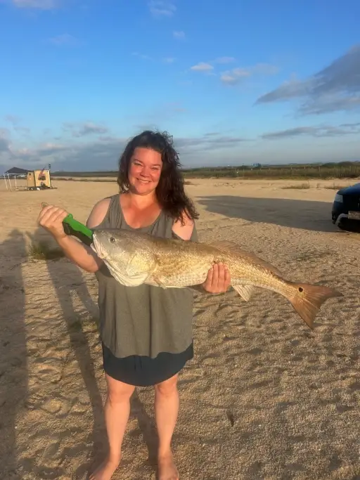
uploaded by: Scott Bryant

uploaded by: tajiran

uploaded by: tajiran

uploaded by: tajiran

uploaded by: tajiran

uploaded by: Chad_1

uploaded by: Chad_1


Comments