-
Nautical Twilight begins:Sunrise:
-
Sunset:Nautical Twilight ends:
-
Moonrise:
-
Moonset:
-
Moon over:
-
Moon under:
-
Visibility:14%
-
 Waning Crescent
-
Distance to earth:390,412 kmProximity:35.9 %
Moon Phases for Baltimore Highlands
-
good Day
-
minor Time:02:27 am - 04:27 am
-
major Time:09:05 am - 11:05 am
-
minor Time:03:43 pm - 05:43 pm
-
major Time:09:36 pm - 11:36 pm
Tide Clock
Tide Graph
Times
| Tide | Time | Height |
|---|---|---|
| high | 04:54 am | 1.44 ft |
| low | 11:43 am | 0.43 ft |
| high | 05:04 pm | 1.25 ft |
| low | 11:36 pm | 0.39 ft |
Wind Speed and Direction
Wind Direction:
Wind Speed:
Wind Direction and Speed are one of the most important aspects for choosing a fishing spot. An offshore wind can help land-based anglers with longer casting distances, while an onshore wind will make kayak fishing safer. Often fish will also move to certain feeding areas depending on the wind direction. Check out the long term wind forecast at the charts below.
Fishing Barometer
Atmospheric Pressure:
Change since midnight:
Trend for next 6 hours:
Atmospheric or Barometric Pressure affects fish activity. The best fishing can be had on a rising barometer and also the time just before it is falling. A steady barometer in the higher ranges can also mean good fishing. A falling or low barometer reading without much change is usually not a very good time for fishing.
UV Effect on Fishing
As a rule of thumb, the higher the UV index, the deeper fish will move. Shallow water fishing is best done at times with a low UV index. When the UV is high, stick to early mornings, late evenings and shaded areas. The effect is less noticable in deeper water, but often a higher UV index can produce good results in the deep.
| Date | Major Bite Times | Minor Bite Times | Sun | Moon | Moonphase | Tide Times |
|---|---|---|---|---|---|---|
|
|
-
-
|
-
-
|
R: S: |
R: S: |
Waning Crescent |
high:
, 1.44 ft
, Coeff: 120
low:
, 0.43 ft
high:
, 1.25 ft
, Coeff: 93
low:
, 0.39 ft
|
|
|
-
-
|
-
-
|
R: S: |
R: S: |
Waning Crescent |
high:
, 1.41 ft
, Coeff: 115
low:
, 0.39 ft
high:
, 1.35 ft
, Coeff: 106
|
|
|
-
-
|
-
-
|
R: S: |
R: S: |
New Moon |
low:
, 0.39 ft
high:
, 1.35 ft
, Coeff: 106
low:
, 0.33 ft
high:
, 1.41 ft
, Coeff: 115
|
|
|
-
-
|
-
-
|
R: S: |
R: S: |
New Moon |
low:
, 0.43 ft
high:
, 1.28 ft
, Coeff: 97
low:
, 0.3 ft
high:
, 1.48 ft
, Coeff: 125
|
|
|
-
-
|
-
-
|
R: S: |
R: S: |
New Moon |
low:
, 0.49 ft
high:
, 1.18 ft
, Coeff: 84
low:
, 0.23 ft
high:
, 1.54 ft
, Coeff: 134
|
|
|
-
-
|
-
-
|
R: S: |
R: S: |
New Moon |
low:
, 0.52 ft
high:
, 1.12 ft
, Coeff: 75
low:
, 0.2 ft
high:
, 1.57 ft
, Coeff: 138
|
|
|
-
-
|
-
-
|
R: S: |
R: S: |
Waxing Crescent |
low:
, 0.56 ft
high:
, 1.05 ft
, Coeff: 65
low:
, 0.2 ft
high:
, 1.57 ft
, Coeff: 138
|
October Fishing Report
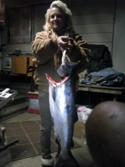
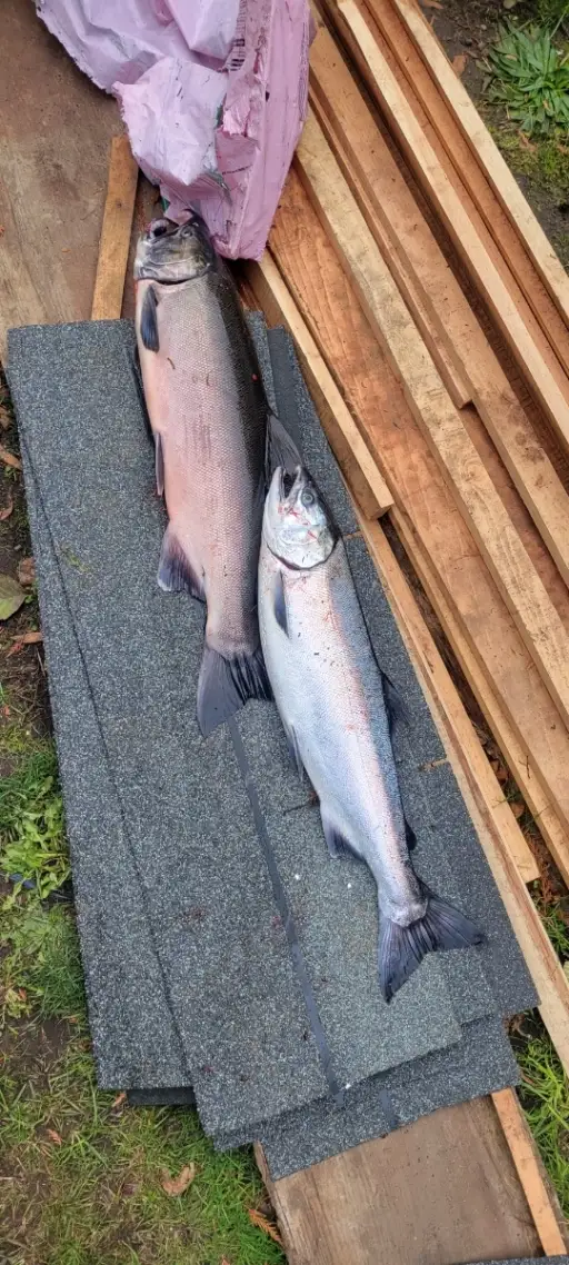
October brings a steady fall push in Baltimore Highlands as water temps drop and bait stacks in the lower Patapsco. Expect active striped bass (schoolies) shadowing peanut bunker along points, bridge pilings, and channel edges, especially on moving tides at dawn/dusk. Water can run stained after rains; clarity improves a day or two post-front.
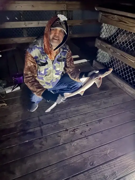
White perch remain catchable on deeper bends and pier pilings; downsized rigs with grass shrimp or small jigs work well. Nighttime soaks with cut menhaden or fresh eel produce dependable blue and channel catfish in slower holes and around marina outflows.
For rockfish, cast 3–5 inch soft plastics on 1/4–3/8 oz jig heads; chartreuse or pearl shines in murk, natural bunker hues in clearer water. A brief topwater window can pop at first light when bait is flicking. After cold fronts with a NW breeze, look for cleaner water and tighter bait balls.
Electronics help: mark bait near 12–20 ft breaks, then vertically jig or drift through the pod, not just along it.
Top tip: Match lure weight to current so your jig tracks just off bottom—if you’re not ticking occasionally, you’re probably above the strike zone.
Best Fishing Spots in the greater Baltimore Highlands area
Wharf's or Jetties are good places to wet a line and meet other fishermen. They often produce a fresh feed of fish and are also great to catch bait fish. As they are often well lit, they also provide a good opportunity for night fishing. There are 7 wharf(s) in this area.
Raisins Wharf - 6.21607798563km , Tysons Wharf - 6.41462476752km , Shryocks Wharf - 6.58991078074km , Chases Wharf - 6.65521984236km , Jackson Wharf - 6.74765388843km , Browns Wharf - 6.90552940979km , Hendersons Wharf - 7.13525077268km
Beaches and Bays are ideal places for land-based fishing. If the beach is shallow and the water is clear then twilight times are usually the best times, especially when they coincide with a major or minor fishing time. Often the points on either side of a beach are the best spots. Or if the beach is large then look for irregularities in the breaking waves, indicating sandbanks and holes. We found 1 beaches and bays in this area.
Curtis Bay - 6.58040612565km
Harbours and Marinas can often times be productive fishing spots for land based fishing as their sheltered environment attracts a wide variety of bait fish. Similar to river mouths, harbour entrances are also great places to fish as lots of fish will move in and out with the rising and falling tides. There are 8 main harbours in this area.
Middle Branch Marina - 3.16974070507km, Harborview Marina And Yacht Club - 6.08665917614km, Inner Harbor Marina - 6.41736089948km, Inner Harbor - 6.49390710332km, Inner Harbor East Marina - 6.62208785356km, Center Dock Marina - 6.77002970901km, Fort McHenry Anchorage - 6.88270308473km, Northwest Harbor - 7.08474046015km
We found a total of 40 potential fishing spots nearby Baltimore Highlands. Below you can find them organized on a map. Points, Headlands, Reefs, Islands, Channels, etc can all be productive fishing spots. As these are user submitted spots, there might be some errors in the exact location. You also need to cross check local fishing regulations. Some of the spots might be in or around marine reserves or other locations that cannot be fished. If you click on a location marker it will bring up some details and a quick link to google search, satellite maps and fishing times. Tip: Click/Tap on a new area to load more fishing spots.
Holly Creek - 0.6664686005km , Reed Bird Island - 2.83269297618km , Middle Branch Marina - 3.16974070507km , Smith Cove - 3.345207172km , Middle Branch Patapsco River - 3.60315899953km , Herbert Run - 4.26681585544km , Ridgleys Cove - 4.45703774739km , West Branch Herbert Run - 4.52512535678km , East Branch Herbert Run - 4.52512535678km , Winans Cove - 4.771852008km , Stony Run - 5.08423454499km , Stonehouse Cove - 5.23458243059km , Maidens Choice Run - 5.46877465499km , Curtis Creek - 5.80509404684km , Ferndale Branch - 5.88645917929km , Sawmill Creek - 5.96022958732km , Wagners Pond - 6.07802786001km , Harborview Marina And Yacht Club - 6.08665917614km , Muddy Bridge Branch - 6.13428980576km , Raisins Wharf - 6.21607798563km , Tysons Wharf - 6.41462476752km , Inner Harbor Marina - 6.41736089948km , Glen Burnie Bog (historical) - 6.42714950395km , Inner Harbor - 6.49390710332km , Curtis Bay - 6.58040612565km , Shryocks Wharf - 6.58991078074km , Inner Harbor East Marina - 6.62208785356km , Chases Wharf - 6.65521984236km , Irving Branch - 6.69344409839km , Jackson Wharf - 6.74765388843km , Center Dock Marina - 6.77002970901km , Soapstone Branch - 6.80230453254km , Rockburn Branch - 6.85053875625km , Fort McHenry Anchorage - 6.88270308473km , Browns Wharf - 6.90552940979km , Bells Cove - 6.9181508964km , Furnace Creek - 7.01276275297km , Fork Branch - 7.05905335493km , Northwest Harbor - 7.08474046015km , Hendersons Wharf - 7.13525077268km


Comments