
-
Nautical Twilight begins:Sunrise:
-
Sunset:Nautical Twilight ends:
-
Moonrise:
-
Moonset:
-
Moon over:
-
Moon under:
-
Visibility:97%
-
 Full Moon
-
Distance to earth:372,331 kmProximity:78.3 %
Moon Phases for Blum
-
average Day
-
minor Time:04:41 am - 06:41 am
-
major Time:10:59 am - 12:59 pm
-
minor Time:
 05:18 pm -
07:18 pm
05:18 pm -
07:18 pm
-
major Time:11:15 pm - 01:15 am
| Date | Major Bite Times | Minor Bite Times | Sun | Moon | Moonphase |
|---|---|---|---|---|---|
|
|
-
-
|
-
-
|
R: S: |
R: S: |
Full Moon |
|
|
-
-
|
-
-
|
R: S: |
R: S: |
Full Moon |
|
|
-
-
|
-
-
|
R: S: |
R: S: |
Full Moon |
|
|
-
-
|
-
-
|
R: S: |
R: S: |
Full Moon |
|
|
-
-
|
-
-
|
R: S: |
R: S: |
Waning Gibbous |
|
|
-
-
|
-
-
|
R: S: |
R: S: |
Waning Gibbous |
|
|
-
-
|
-
-
|
R: S: |
R: S: |
Waning Gibbous |
Best Fishing Spots in the greater Blum area
Beaches and Bays are ideal places for land-based fishing. If the beach is shallow and the water is clear then twilight times are usually the best times, especially when they coincide with a major or minor fishing time. Often the points on either side of a beach are the best spots. Or if the beach is large then look for irregularities in the breaking waves, indicating sandbanks and holes. We found 1 beaches and bays in this area.
West Fork Camp Creek - 18.23175873414km
We found a total of 40 potential fishing spots nearby Blum. Below you can find them organized on a map. Points, Headlands, Reefs, Islands, Channels, etc can all be productive fishing spots. As these are user submitted spots, there might be some errors in the exact location. You also need to cross check local fishing regulations. Some of the spots might be in or around marine reserves or other locations that cannot be fished. If you click on a location marker it will bring up some details and a quick link to google search, satellite maps and fishing times. Tip: Click/Tap on a new area to load more fishing spots.
Belnap Creek - 1.43907544473km , Darr Branch - 2.01784762141km , Adair Spring Branch - 3.13813348586km , Gourd Neck Branch - 3.31978449206km , Pilot Branch - 6.68246997075km , Nolan River - 8.71899253775km , Haley Branch - 10.3692718772km , Phelps Creek - 10.69364330369km , Elm Mott Branch - 10.87222253524km , Plowman Creek - 12.09244917629km , Raymond Creek - 12.85000083364km , Benson Slough - 13.37373181441km , Pioneer Cove - 15.94248261354km , West Fork Camp Creek - 18.23175873414km , Yearling Branch - 18.5931766647km , Tuggle Branch - 19.39224393879km , Flat Rock Creek - 19.53561435771km , Horne Branch - 19.71485008551km , McAnear Creek - 20.6306739123km , West Buffalo Creek - 21.53431588472km , East Buffalo Creek - 21.5641900024km , Falls Branch - 21.62309359934km , Cedron Creek - 21.66854211169km , North Fork South Fork Chambers Creek - 22.58353381745km , Majors Branch - 23.12832149863km , Steele Creek - 23.81443425266km , Coleman Creek - 23.85631874095km , South Fork South Fork Chambers Creek - 23.91213082176km , Lockett Branch - 24.18421927251km , Little Aquilla Creek - 24.24359029018km , Toms Branch - 24.71925564556km , Frazier Creek - 24.75290350136km , Lovelace Creek - 25.00989982637km , Rock Tank Creek - 25.44787500747km , West Fork Nolan River - 25.54421600169km , Whitney Creek - 25.80473807774km , Hayden Creek - 26.23703673946km , Towash Creek - 26.2705345142km , Middle Fork South Fork Chambers Creek - 26.75246794772km , Farris Creek - 27.32402022461km

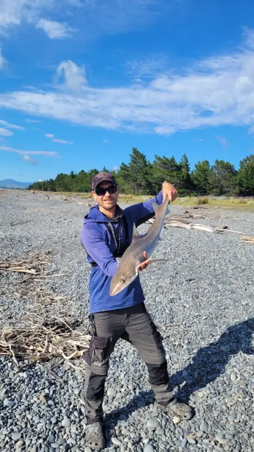
uploaded by: Mark Totzke

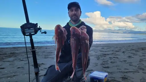
uploaded by: tajiran

uploaded by: Mark Totzke

uploaded by: Mark Totzke

uploaded by: Mark Totzke

uploaded by: Michael Mayse

uploaded by: primerone

uploaded by: v l

uploaded by: Shin_Benfield

uploaded by: Charles Clute


Comments