


Phoenix (historical) 🇺🇸
-
Nautical Twilight begins:04:52 amSunrise:06:01 am
-
Sunset:08:44 pmNautical Twilight ends:09:53 pm
-
Moonrise:11:59 pm
-
Moonset:12:12 pm
-
Moon over:05:45 am
-
Moon under:06:05 pm
-
Visibility:65%
-
 Third Quarter Moon
-
Distance to earth:366,938 kmProximity:91 %
Moon Phases for Phoenix (historical)
-
poor Day
-
major Time:
 04:45 am -
06:45 am
04:45 am -
06:45 am
-
minor Time:11:12 am - 01:12 pm
-
major Time:05:05 pm - 07:05 pm
-
minor Time:10:59 pm - 12:59 am
| Date | Major Bite Times | Minor Bite Times | Sun | Moon | Moonphase |
|---|---|---|---|---|---|
|
Wed, 16 Jul
|
04:45 am -
06:45 am
05:05 pm -
07:05 pm
|
11:12 am -
01:12 pm
10:59 pm -
12:59 am
|
R: 06:01 am S: 08:44 pm |
R: 11:59 pm S: 12:12 pm |
Third Quarter Moon |
|
Thu, 17 Jul
|
05:34 am -
07:34 am
05:54 pm -
07:54 pm
|
12:24 pm -
02:24 pm
11:24 pm -
01:24 am
|
R: 06:02 am S: 08:43 pm |
R: - S: 01:24 pm |
Third Quarter Moon |
|
Fri, 18 Jul
|
06:31 am -
08:31 am
06:47 pm -
08:47 pm
|
01:38 pm -
03:38 pm
11:24 pm -
01:24 am
|
R: 06:03 am S: 08:42 pm |
R: 12:24 am S: 02:38 pm |
Third Quarter Moon |
|
Sat, 19 Jul
|
07:24 am -
09:24 am
07:43 pm -
09:43 pm
|
02:54 pm -
04:54 pm
11:55 pm -
01:55 am
|
R: 06:03 am S: 08:42 pm |
R: 12:55 am S: 03:54 pm |
Third Quarter Moon |
|
Sun, 20 Jul
|
08:21 am -
10:21 am
08:44 pm -
10:44 pm
|
12:32 am -
02:32 am
04:11 pm -
06:11 pm
|
R: 06:04 am S: 08:41 pm |
R: 01:32 am S: 05:11 pm |
Waning Crescent |
|
Mon, 21 Jul
|
09:20 am -
11:20 am
09:49 pm -
11:49 pm
|
01:18 am -
03:18 am
05:22 pm -
07:22 pm
|
R: 06:05 am S: 08:40 pm |
R: 02:18 am S: 06:22 pm |
Waning Crescent |
|
Tue, 22 Jul
|
10:21 am -
12:21 pm
10:55 pm -
12:55 am
|
02:16 am -
04:16 am
06:26 pm -
08:26 pm
|
R: 06:06 am S: 08:39 pm |
R: 03:16 am S: 07:26 pm |
Waning Crescent |


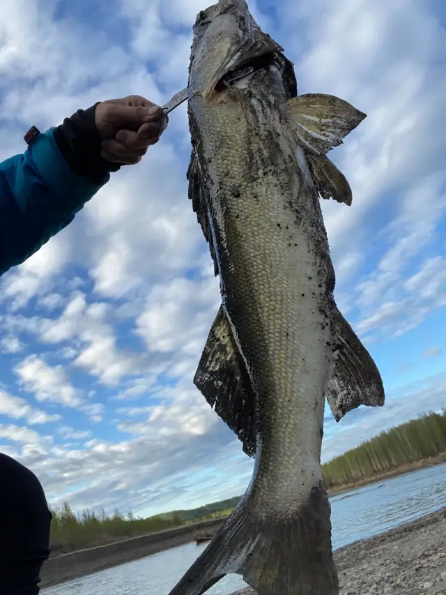
uploaded by: primerone

uploaded by: primerone

uploaded by: Michael Mitchell 1

uploaded by: Joey Piercefield

uploaded by: Joey Piercefield

uploaded by: Joey Piercefield

uploaded by: SzatanEK666
uploaded by: Rosemelzam

uploaded by: Eric Foster

uploaded by: cspooner
Best Fishing Spots in the greater Phoenix (historical) area
We found a total of 30 potential fishing spots nearby Phoenix (historical). Below you can find them organized on a map. Points, Headlands, Reefs, Islands, Channels, etc can all be productive fishing spots. As these are user submitted spots, there might be some errors in the exact location. You also need to cross check local fishing regulations. Some of the spots might be in or around marine reserves or other locations that cannot be fished. If you click on a location marker it will bring up some details and a quick link to google search, satellite maps and fishing times. Tip: Click/Tap on a new area to load more fishing spots.
Barton Debris Basin Dam - 3km , Waverly Street Bridge - 3km , Piedmont Dam - 6km , Piedmon Dam - 7km , Warnick Point - 8km , Savage River Dam - 8km , Keyser McCoole Bridge - 9km , New Creek Structure Number One Dam - 9km , New Creek Structure 16 Dam - 9km , Twenty-First Bridge - 9km , SSGT J E Kelly Memorial Bridge - 10km , Queens Point - 10km , Bloomington Dam - 11km , Squirrel Neck - 12km , Bittinger Farm Pond Dam - 13km , New Creek Structure Five Dam - 13km , New Creek Structure Nine Dam - 14km , Patterson Creek Structure Number 28 Dam - 14km , Old Keyser Dam - 14km , New Germany State Park Dam - 15km , New Creek Structure Seven Dam - 15km , Pinto Utilities Dam - 17km , Patterson Creek Structure 37 Dam - 17km , New Creek Structure 17 Dam - 17km , Patterson Creek Structure 36 Dam - 18km , New Creek Site 10 Dam - 18km , Patterson Creek Structure 20 Dam - 19km , Clarysville Bridge - 20km , Meadow Run Dam - 20km , Patterson Creek Structure 38 Dam - 20km
Comments