

How to use our fishing calendar
Planning your next fishing trip in Caseros, Argentina ? Today is a average day for fishing. Our comprehensive fishing almanac combines our popular solunar bite times, moon times, sunrise and sunset times, and a 7-day fishing calendar so you always know the best fishing times in your area. We analyse major and minor solunar bite times, rate each day on a five-star scale, and pair it with localized weather forecasts so you can quickly tell whether today is a good day to fish without juggling multiple tabs. Be sure to bookmark this page so you never miss a bite. view bite times...
- Check our unique Solunar Clock for precise solunar bite times and the best moon phases.
- Use the forecast calendar section to sync bite times with major weather changes.
- Analyze the forecasted weather conditions, such as wind, barometric pressure and rain to plan your fishing session.
- Jump to the 7-Day Fishing Calendar for an extended fishing forecast, then explore nearby fishing spots on the interactive map.
Sun and Moon Times
-
Nautical Twilight begins:Sunrise:
-
Sunset:Nautical Twilight ends:
-
Moonrise:
-
Moonset:
-
Moon over:
-
Moon under:
-
Visibility:61%
-
 First Quarter Moon
-
Distance to earth:399,985 kmProximity:13.4 %
Moon Phases for Caseros
-
average Day
-
minor Time:01:03 am - 03:03 am
-
major Time:06:16 am - 08:16 am
-
minor Time:11:30 am - 01:30 pm
-
major Time:06:33 pm - 08:33 pm
Current Fishing Weather
Wind Speed and Direction
Wind Direction:
Wind Speed:
Wind Direction and Speed are one of the most important aspects for choosing a fishing spot. An offshore wind can help land-based anglers with longer casting distances, while an onshore wind will make kayak fishing safer. Often fish will also move to certain feeding areas depending on the wind direction. Check out the long term wind forecast at the charts below.
Fishing Barometer
Atmospheric Pressure:
Change since midnight:
Trend for next 6 hours:
Atmospheric or Barometric Pressure affects fish activity. The best fishing can be had on a rising barometer and also the time just before it is falling. A steady barometer in the higher ranges can also mean good fishing. A falling or low barometer reading without much change is usually not a very good time for fishing.
UV Effect on Fishing
As a rule of thumb, the higher the UV index, the deeper fish will move. Shallow water fishing is best done at times with a low UV index. When the UV is high, stick to early mornings, late evenings and shaded areas. The effect is less noticable in deeper water, but often a higher UV index can produce good results in the deep.
7 Day Fishing Weather
| Date | Major Bite Times | Minor Bite Times | Sun | Moon | Moonphase |
|---|---|---|---|---|---|
|
|
-
-
|
-
-
|
R: S: |
R: S: |
First Quarter Moon |
|
|
-
-
|
-
-
|
R: S: |
R: S: |
First Quarter Moon |
|
|
-
-
|
-
-
|
R: S: |
R: S: |
Waxing Gibbous |
|
|
-
-
|
-
-
|
R: S: |
R: S: |
Waxing Gibbous |
|
|
-
-
|
-
-
|
R: S: |
R: S: |
Waxing Gibbous |
|
|
-
-
|
-
-
|
R: S: |
R: S: |
Waxing Gibbous |
|
|
-
-
|
-
-
|
R: S: |
R: S: |
Full Moon |
|
|
-
-
|
-
-
|
R: S: |
R: S: |
Full Moon |
Interactive Fishing Map for the greater Caseros area
Wharf's or Jetties are good places to wet a line and meet other fishermen. They often produce a fresh feed of fish and are also great to catch bait fish. As they are often well lit, they also provide a good opportunity for night fishing. There are 1 wharf(s) in this area.
Terminal 1 - 18.63855760881km
Harbours and Marinas can often times be productive fishing spots for land based fishing as their sheltered environment attracts a wide variety of bait fish. Similar to river mouths, harbour entrances are also great places to fish as lots of fish will move in and out with the rising and falling tides. There are 1 main harbours in this area.
Antepuerto Norte - 18.69198727367km
We found a total of 40 potential fishing spots nearby Caseros. Below you can find them organized on a map. Points, Headlands, Reefs, Islands, Channels, etc can all be productive fishing spots. As these are user submitted spots, there might be some errors in the exact location. You also need to cross check local fishing regulations. Some of the spots might be in or around marine reserves or other locations that cannot be fished. If you click on a location marker it will bring up some details and a quick link to google search, satellite maps and fishing times. Tip: Click/Tap on a new area to load more fishing spots.
Arroyo Morón - 8.33689077369km , Arroyo Los Berros - 10.66504398097km , Arroyo Las Catonas - 14.25167431507km , Canal Costanero - 14.30886572538km , Arroyo Maldonado - 16.31026505485km , Riachuelo - 16.88214075885km , Río de la Matanza - 17.70569506462km , Río Luján - 18.34242494228km , Terminal 1 - 18.63855760881km , Antepuerto Norte - 18.69198727367km , Escollera Exterior - 19.09929084598km , Arroyo Los Perros - 19.17824467928km , Arroyo Abra Vieja - 20.00287991563km , Arroyo del Rey - 20.2091838922km , Arroyo Las Tunas - 20.46722317635km , Laguna Santa Catalina - 20.54547701351km , Arroyo Anguilas - 21.22859098164km , Río Tigre - 21.23631504546km , Arroyo Morales - 21.46876353246km , Arroyo Barreiro - 21.57002100635km , Isla Santa Mónica - 21.82856935902km , Río de la Reconquista - 22.1627975563km , Canal Norte - 22.19770638894km , Arroyo de la Cañada Pantanosa - 22.64291877136km , Canal Sur - 23.15205980311km , Arroyo Correas - 24.18809999809km , Laguna San José de la Leña - 25.36597100974km , Isla Victoria - 25.4469375817km , Arroyo Caraguatá - 25.56558884343km , Canal de las Palmas - 26.96200414185km , Arroyo de la Piedra - 28.80578931971km , Arroyo El Piojo - 29.36867392538km , Isla Y.C.A. - 29.60513724246km , Arroyo Durazno - 29.61582277887km , Arroyo La Choza - 29.70564811331km , Arroyo La Horqueta - 29.73281519434km , Isla Zárate - 30.07381963126km , Arroyo Pantanosa - 30.31659657574km , Arroyo Chacón - 30.78484845363km , Canal Pozos del Barca Grande - 31.38808560104km
Latest Catches
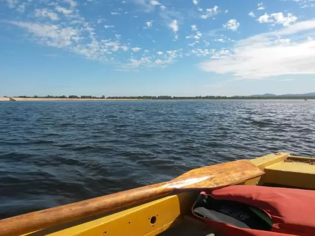
uploaded by: pescacruzdeleje
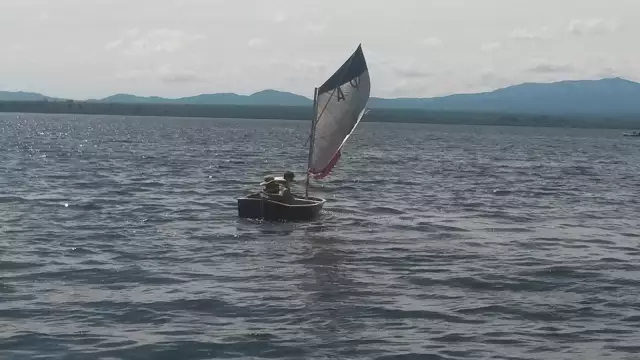
uploaded by: pescacruzdeleje
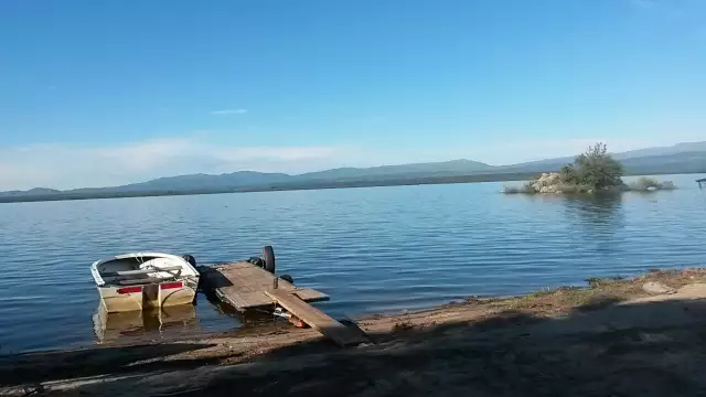
uploaded by: pescacruzdeleje
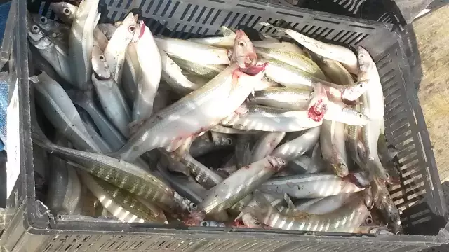
uploaded by: pescacruzdeleje

uploaded by: pescacruzdeleje


Comments