
How to use our fishing calendar
Planning your next fishing trip in La Siriaca, Colombia near Cartagena ? Today is a good day for fishing. Our comprehensive fishing almanac combines our popular solunar bite times, moon times, sunrise and sunset times, nearby tide tables, and a 7-day fishing calendar so you always know the best fishing times in your area. We analyse major and minor solunar bite times, rate each day on a five-star scale, and pair it with localized weather forecasts so you can quickly tell whether today is a good day to fish without juggling multiple tabs. Be sure to bookmark this page so you never miss a bite. view bite times...
- Check our unique Solunar Clock for precise solunar bite times and the best moon phases.
- Use the Tide Clock section to sync bite times with high and low tide tables.
- Analyze the forecasted weather conditions, such as wind, barometric pressure and rain to plan your fishing session.
- Jump to the 7-Day Fishing Calendar for an extended fishing forecast, then explore nearby fishing spots on the interactive map.
Sun and Moon Times
-
Nautical Twilight begins:Sunrise:
-
Sunset:Nautical Twilight ends:
-
Moonrise:
-
Moonset:
-
Moon over:
-
Moon under:
-
Visibility:17%
-
 Waning Crescent
-
Distance to earth:369,138 kmProximity:85.8 %
Moon Phases for La Siriaca
-
good Day
-
minor Time:01:07 am - 03:07 am
-
major Time:07:32 am - 09:32 am
-
minor Time:01:57 pm - 03:57 pm
-
major Time:07:57 pm - 09:57 pm
Tides Times for Fishing: Thu, 11 Jun
Tide Clock
Tide Graph
Times
| Tide | Time | Height |
|---|---|---|
| low | 03:42 am | -0.03 ft |
| high | 06:54 am | 0.1 ft |
| low | 12:25 pm | -0.2 ft |
| high | 08:03 pm | 1.31 ft |
Current Fishing Weather
Wind Speed and Direction
Wind Direction:
Wind Speed:
Wind Direction and Speed are one of the most important aspects for choosing a fishing spot. An offshore wind can help land-based anglers with longer casting distances, while an onshore wind will make kayak fishing safer. Often fish will also move to certain feeding areas depending on the wind direction. Check out the long term wind forecast at the charts below.
Fishing Barometer
Atmospheric Pressure:
Change since midnight:
Trend for next 6 hours:
Atmospheric or Barometric Pressure affects fish activity. The best fishing can be had on a rising barometer and also the time just before it is falling. A steady barometer in the higher ranges can also mean good fishing. A falling or low barometer reading without much change is usually not a very good time for fishing.
UV Effect on Fishing
As a rule of thumb, the higher the UV index, the deeper fish will move. Shallow water fishing is best done at times with a low UV index. When the UV is high, stick to early mornings, late evenings and shaded areas. The effect is less noticable in deeper water, but often a higher UV index can produce good results in the deep.
7 Day Fishing Weather
| Date | Major Bite Times | Minor Bite Times | Sun | Moon | Moonphase | Tide Times |
|---|---|---|---|---|---|---|
|
|
-
-
|
-
-
|
R: S: |
R: S: |
Waning Crescent |
low:
, 0.13 ft
high:
, 0.26 ft
, Coeff: -13
low:
, -0.2 ft
high:
, 1.15 ft
, Coeff: 212
|
|
|
-
-
|
-
-
|
R: S: |
R: S: |
Waning Crescent |
low:
, -0.03 ft
high:
, 0.1 ft
, Coeff: -55
low:
, -0.2 ft
high:
, 1.31 ft
, Coeff: 253
|
|
|
-
-
|
-
-
|
R: S: |
R: S: |
Waning Crescent |
low:
, -0.16 ft
high:
, -0.03 ft
, Coeff: -88
low:
, -0.2 ft
high:
, 1.44 ft
, Coeff: 287
|
|
|
-
-
|
-
-
|
R: S: |
R: S: |
New Moon |
low:
, -0.3 ft
high:
, -0.1 ft
, Coeff: -105
low:
, -0.16 ft
high:
, 1.51 ft
, Coeff: 303
|
|
|
-
-
|
-
-
|
R: S: |
R: S: |
New Moon |
low:
, -0.39 ft
high:
, -0.1 ft
, Coeff: -105
low:
, -0.1 ft
high:
, 1.51 ft
, Coeff: 303
|
|
|
-
-
|
-
-
|
R: S: |
R: S: |
New Moon |
low:
, -0.49 ft
high:
, 1.48 ft
, Coeff: 295
|
|
|
-
-
|
-
-
|
R: S: |
R: S: |
Waxing Crescent |
low:
, -0.52 ft
high:
, 0.1 ft
, Coeff: -55
low:
, 0.1 ft
|
|
|
-
-
|
-
-
|
R: S: |
R: S: |
Waxing Crescent |
high:
, 1.41 ft
, Coeff: 278
low:
, -0.52 ft
high:
, 0.23 ft
, Coeff: -22
low:
, 0.2 ft
|
Interactive Fishing Map for the greater La Siriaca area
Wharf's or Jetties are good places to wet a line and meet other fishermen. They often produce a fresh feed of fish and are also great to catch bait fish. As they are often well lit, they also provide a good opportunity for night fishing. There are 1 wharf(s) in this area.
Muelle Turistico - 12.58494972476km
Beaches and Bays are ideal places for land-based fishing. If the beach is shallow and the water is clear then twilight times are usually the best times, especially when they coincide with a major or minor fishing time. Often the points on either side of a beach are the best spots. Or if the beach is large then look for irregularities in the breaking waves, indicating sandbanks and holes. We found 3 beaches and bays in this area.
Playón de La Vagabunda - 2.61737026184km , Balneario de Marbella - 9.31491082751km , Playa de Las Canoas - 17.87785896178km
We found a total of 40 potential fishing spots nearby La Siriaca. Below you can find them organized on a map. Points, Headlands, Reefs, Islands, Channels, etc can all be productive fishing spots. As these are user submitted spots, there might be some errors in the exact location. You also need to cross check local fishing regulations. Some of the spots might be in or around marine reserves or other locations that cannot be fished. If you click on a location marker it will bring up some details and a quick link to google search, satellite maps and fishing times. Tip: Click/Tap on a new area to load more fishing spots.
Ciénaga de Juan Polo - 2.58173274355km , Estero Caño Grande - 2.58173274355km , Morro Grande - 2.61737026184km , Playón de La Vagabunda - 2.61737026184km , Punta Manzanillo - 2.61737026184km , Punta Canalete - 2.78216172544km , Arroyo Guayeno - 3.33361222299km , Boca La Boquilla - 3.64416017064km , Arroyo Tabacal - 4.59076775988km , Arroyo Hormigas - 4.59830652743km , Punta Boquerón - 5.16567503741km , Punta Zapatero - 5.54552195152km , Punta Volcán - 6.30932019612km , Punta de Sal - 6.43072532987km , Arroyo Hormiga - 6.6483128842km , Punta Canoas - 7.2186697944km , Punta Dos Puntas - 7.29325495977km , Balneario de Marbella - 9.31491082751km , Ciénaga de Tesca - 9.63053131791km , Bahía Gato - 10.26209226344km , Lago del Cabrero - 11.00067081521km , Arroyo Carabajal - 11.12931573024km , Arroyo Tomatal - 11.20212849162km , Punta de Piedra - 12.41212748327km , Muelle Turistico - 12.58494972476km , Isla Chiva - 12.83294120664km , Isla Diablo - 13.31168316954km , Punta Corralito - 14.20586682948km , Bahia de Cartagenas - 14.42829446204km , Punta Corralagrande - 14.70498799644km , Isla de Manzanillo - 15.05848166009km , Arroyo Corozos - 15.90894798276km , Isla Maparadita - 16.08937703103km , Lago de Boca Grande - 16.3984652295km , Boca Grande - 16.43423794929km , Ensenada de Bajoseco - 16.45625318999km , Bahía de Cartagena de Indias - 16.80576598881km , Playa de Las Canoas - 17.87785896178km , Isla Cocosolo - 17.88756526641km , Punta Arenas - 18.17037441942km
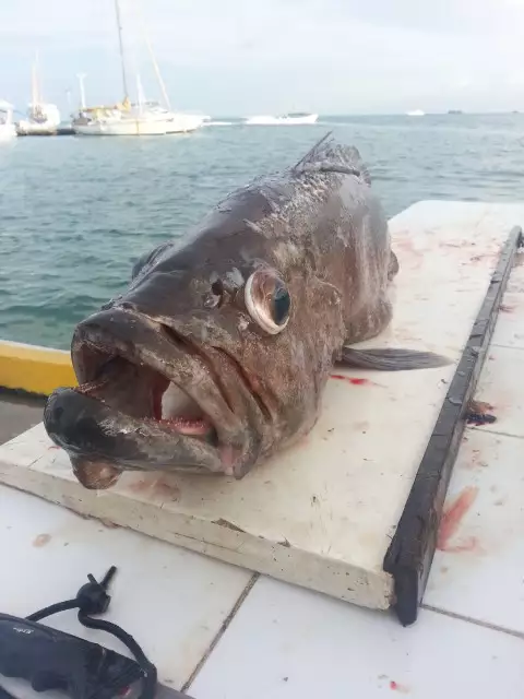
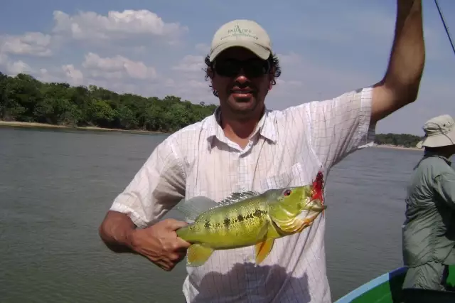
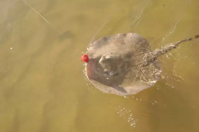
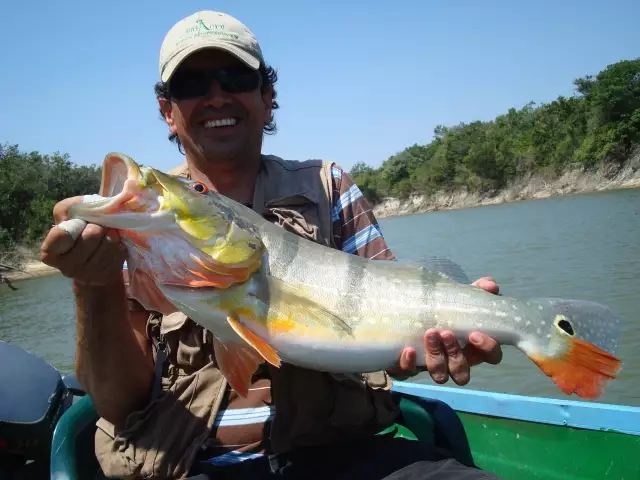
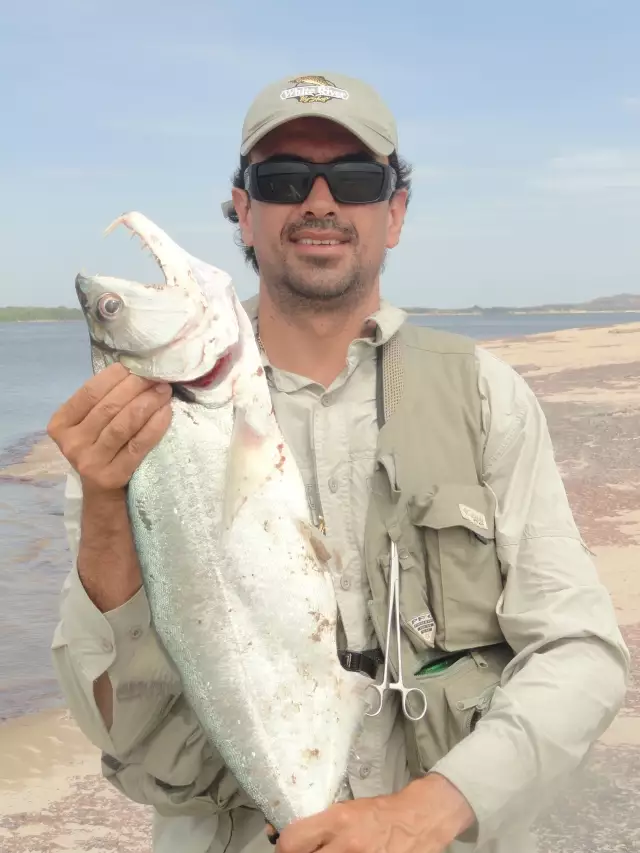
Latest Catches
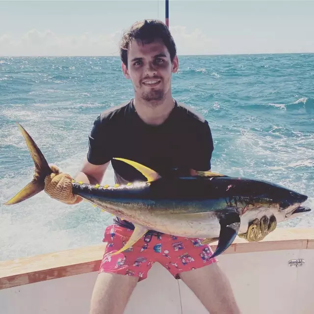
uploaded by: Romulo Davila
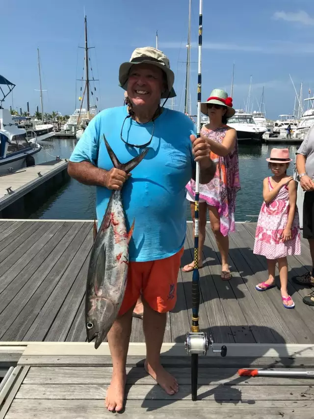
uploaded by: Romulo Davila
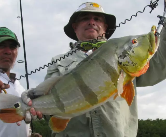
uploaded by: apartado
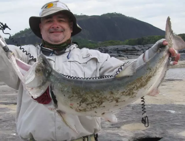
uploaded by: apartado
uploaded by: carlos58
uploaded by: embalsamao
uploaded by: embalsamao
uploaded by: embalsamao
uploaded by: embalsamao
uploaded by: embalsamao

")

Comments