How to use our fishing calendar
Planning your next fishing trip in Riofrío, Colombia ? Today is a average day for fishing. Our comprehensive fishing almanac combines our popular solunar bite times, moon times, sunrise and sunset times, and a 7-day fishing calendar so you always know the best fishing times in your area. We analyse major and minor solunar bite times, rate each day on a five-star scale, and pair it with localized weather forecasts so you can quickly tell whether today is a good day to fish without juggling multiple tabs. Be sure to bookmark this page so you never miss a bite. view bite times...
- Check our unique Solunar Clock for precise solunar bite times and the best moon phases.
- Use the forecast calendar section to sync bite times with major weather changes.
- Analyze the forecasted weather conditions, such as wind, barometric pressure and rain to plan your fishing session.
- Jump to the 7-Day Fishing Calendar for an extended fishing forecast, then explore nearby fishing spots on the interactive map.
Sun and Moon Times
-
Nautical Twilight begins:Sunrise:
-
Sunset:Nautical Twilight ends:
-
Moonrise:
-
Moonset:
-
Moon over:
-
Moon under:
-
Visibility:27%
-
 Waxing Crescent
-
Distance to earth:376,307 kmProximity:69 %
Moon Phases for Riofrío
-
average Day
-
major Time:03:11 am - 05:11 am
-
minor Time:09:21 am - 11:21 am
-
major Time:03:35 pm - 05:35 pm
-
minor Time:09:49 pm - 11:49 pm
Current Fishing Weather
Wind Speed and Direction
Wind Direction:
Wind Speed:
Wind Direction and Speed are one of the most important aspects for choosing a fishing spot. An offshore wind can help land-based anglers with longer casting distances, while an onshore wind will make kayak fishing safer. Often fish will also move to certain feeding areas depending on the wind direction. Check out the long term wind forecast at the charts below.
Fishing Barometer
Atmospheric Pressure:
Change since midnight:
Trend for next 6 hours:
Atmospheric or Barometric Pressure affects fish activity. The best fishing can be had on a rising barometer and also the time just before it is falling. A steady barometer in the higher ranges can also mean good fishing. A falling or low barometer reading without much change is usually not a very good time for fishing.
UV Effect on Fishing
As a rule of thumb, the higher the UV index, the deeper fish will move. Shallow water fishing is best done at times with a low UV index. When the UV is high, stick to early mornings, late evenings and shaded areas. The effect is less noticable in deeper water, but often a higher UV index can produce good results in the deep.
7 Day Fishing Weather
| Date | Major Bite Times | Minor Bite Times | Sun | Moon | Moonphase |
|---|---|---|---|---|---|
|
|
-
-
|
-
-
|
R: S: |
R: S: |
Waxing Crescent |
|
|
-
-
|
-
-
|
R: S: |
R: S: |
Waxing Crescent |
|
|
-
-
|
-
-
|
R: S: |
R: S: |
First Quarter Moon |
|
|
-
-
|
-
-
|
R: S: |
R: S: |
First Quarter Moon |
|
|
-
-
|
-
-
|
R: S: |
R: S: |
First Quarter Moon |
|
|
-
-
|
-
-
|
R: S: |
R: S: |
First Quarter Moon |
|
|
-
-
|
-
-
|
R: S: |
R: S: |
Waxing Gibbous |
|
|
-
-
|
-
-
|
R: S: |
R: S: |
Waxing Gibbous |
Interactive Fishing Map for the greater Riofrío area
We found a total of 40 potential fishing spots nearby Riofrío. Below you can find them organized on a map. Points, Headlands, Reefs, Islands, Channels, etc can all be productive fishing spots. As these are user submitted spots, there might be some errors in the exact location. You also need to cross check local fishing regulations. Some of the spots might be in or around marine reserves or other locations that cannot be fished. If you click on a location marker it will bring up some details and a quick link to google search, satellite maps and fishing times. Tip: Click/Tap on a new area to load more fishing spots.
Río Cuanco - 1.5258760404km , Río Frío - 4.46276411506km , Quebrada La Esperanza - 4.56378459555km , Río Tuluá - 4.95874860721km , Río Culebras - 5.2317252914km , Río Cáceres - 5.27546914107km , Zanjón Burriga - 5.93605653059km , Zanjón Juan R - 6.16480975066km , Río Morales - 6.18166363077km , Río Limones - 8.94299640621km , Quebrada El Tortugo - 9.29603327996km , Quebrada Ronda - 9.41252236596km , Quebrada La Beina - 9.9139910648km , Río Piedras - 10.15096406814km , Río Volcanes - 11.54678442415km , Río Lindo - 11.69655038452km , Río Chiquito - 12.43426570643km , Lago Chillicotte - 12.91335945717km , Quebrada San Antonio - 13.18584453787km , Quebrada San Pedro - 13.84273224765km , Quebrada El Gallinazo - 14.12246279579km , Quebrada Bolívar - 14.71629292581km , Río Volcán - 16.07953120023km , Río San Quinini - 17.90795247721km , Quebrada El Obispo - 17.94165969048km , Ciénaga La Zapallera - 18.56567374224km , Quebrada Tres Cucas - 18.74661464564km , Quebrada de Payito - 18.74661464564km , Quebrada Negra - 19.04834446386km , Zanjón Burrgá - 19.34155243723km , Quebrada Antonio - 19.46306944947km , Ciénaga La Rivera - 19.87961748745km , Quebrada Chambimbal - 19.90061227053km , Quebrada Presidente - 19.90993076133km , Quebrada Colomor - 19.97056920845km , Quebrada Las Amarilla - 20.18669791839km , Río Pescador - 20.60845805537km , Quebrada Las Casas - 20.60845805537km , Quebrada Guavinera - 20.65746664358km , Quebrada El Overo - 20.76866812304km
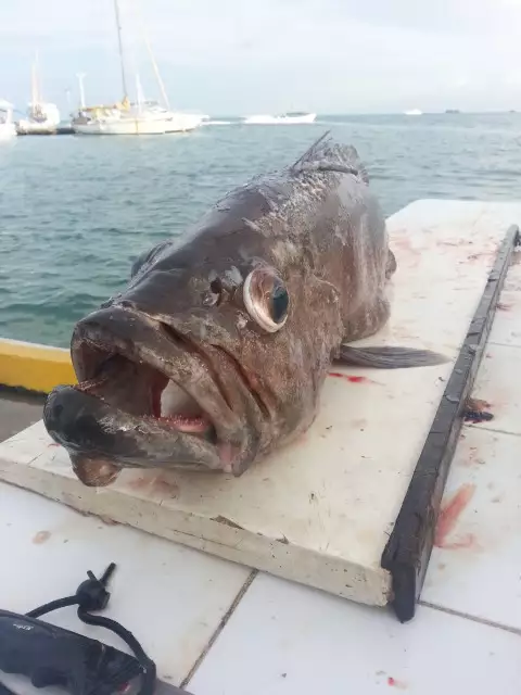
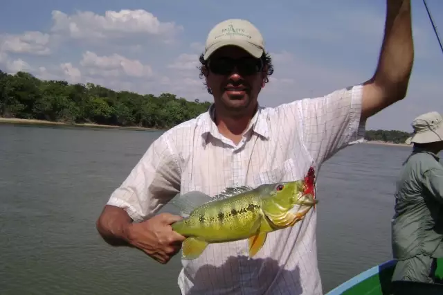
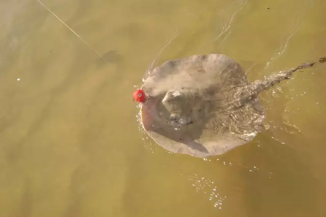
Latest Catches
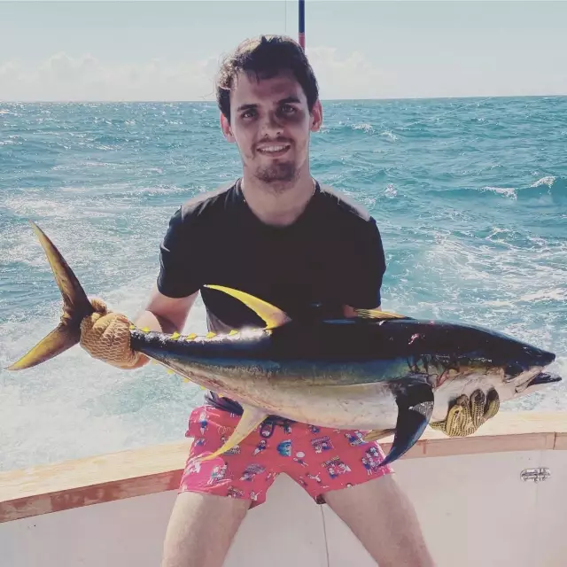
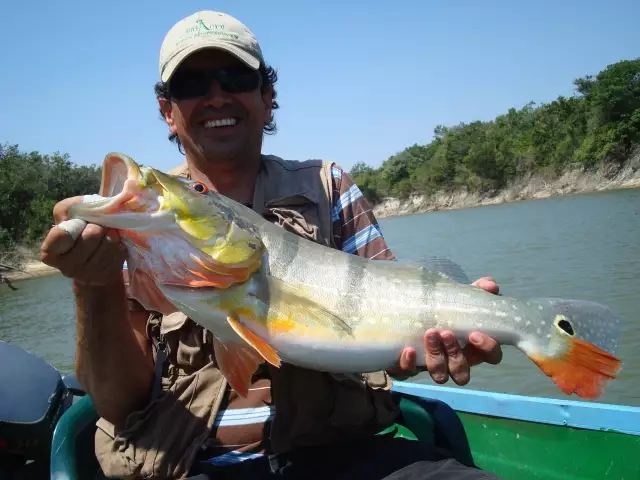
uploaded by: Romulo Davila
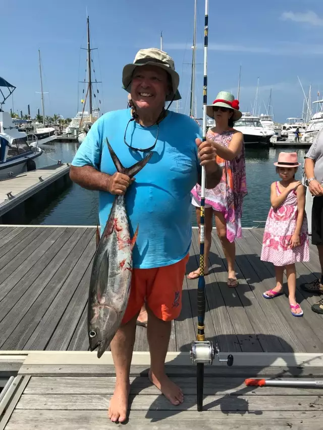
uploaded by: Romulo Davila
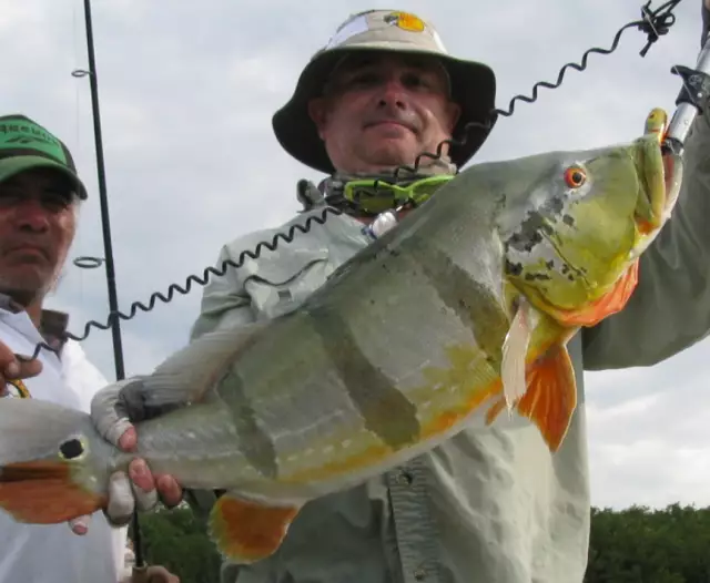
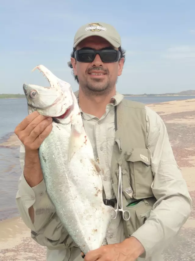
uploaded by: apartado
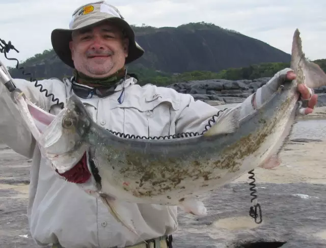
uploaded by: apartado
uploaded by: carlos58
uploaded by: embalsamao
uploaded by: embalsamao
uploaded by: embalsamao
uploaded by: embalsamao
uploaded by: embalsamao

")

Comments