


How to use our fishing calendar
Planning your next fishing trip in Gondomar, Spain near Pontevedra ? Today is a average day for fishing. Our comprehensive fishing almanac combines our popular solunar bite times, moon times, sunrise and sunset times, and a 7-day fishing calendar so you always know the best fishing times in your area. We analyse major and minor solunar bite times, rate each day on a five-star scale, and pair it with localized weather forecasts so you can quickly tell whether today is a good day to fish without juggling multiple tabs. Be sure to bookmark this page so you never miss a bite. view bite times...
- Check our unique Solunar Clock for precise solunar bite times and the best moon phases.
- Use the forecast calendar section to sync bite times with major weather changes.
- Analyze the forecasted weather conditions, such as wind, barometric pressure and rain to plan your fishing session.
- Jump to the 7-Day Fishing Calendar for an extended fishing forecast, then explore nearby fishing spots on the interactive map.
Sun and Moon Times
-
Nautical Twilight begins:Sunrise:
-
Sunset:Nautical Twilight ends:
-
Moonrise:
-
Moonset:
-
Moon over:
-
Moon under:
-
Visibility:65%
-
 First Quarter Moon
-
Distance to earth:393,818 kmProximity:27.9 %
Moon Phases for Gondomar
-
average Day
-
minor Time:01:45 am - 03:45 am
-
major Time:08:36 am - 10:36 am
-
minor Time:03:27 pm - 05:27 pm
-
major Time:
 09:09 pm -
11:09 pm
09:09 pm -
11:09 pm
Current Fishing Weather
Wind Speed and Direction
Wind Direction:
Wind Speed:
Wind Direction and Speed are one of the most important aspects for choosing a fishing spot. An offshore wind can help land-based anglers with longer casting distances, while an onshore wind will make kayak fishing safer. Often fish will also move to certain feeding areas depending on the wind direction. Check out the long term wind forecast at the charts below.
Fishing Barometer
Atmospheric Pressure:
Change since midnight:
Trend for next 6 hours:
Atmospheric or Barometric Pressure affects fish activity. The best fishing can be had on a rising barometer and also the time just before it is falling. A steady barometer in the higher ranges can also mean good fishing. A falling or low barometer reading without much change is usually not a very good time for fishing.
UV Effect on Fishing
As a rule of thumb, the higher the UV index, the deeper fish will move. Shallow water fishing is best done at times with a low UV index. When the UV is high, stick to early mornings, late evenings and shaded areas. The effect is less noticable in deeper water, but often a higher UV index can produce good results in the deep.
7 Day Fishing Weather
| Date | Major Bite Times | Minor Bite Times | Sun | Moon | Moonphase |
|---|---|---|---|---|---|
|
|
-
-
|
-
-
|
R: S: |
R: S: |
First Quarter Moon |
|
|
-
-
|
-
-
|
R: S: |
R: S: |
First Quarter Moon |
|
|
-
-
|
-
-
|
R: S: |
R: S: |
Waxing Gibbous |
|
|
-
-
|
-
-
|
R: S: |
R: S: |
Waxing Gibbous |
|
|
-
-
|
-
-
|
R: S: |
R: S: |
Waxing Gibbous |
|
|
-
-
|
-
-
|
R: S: |
R: S: |
Waxing Gibbous |
|
|
-
-
|
-
-
|
R: S: |
R: S: |
Full Moon |
|
|
-
-
|
-
-
|
R: S: |
R: S: |
Full Moon |
Interactive Fishing Map for the greater Gondomar area
Beaches and Bays are ideal places for land-based fishing. If the beach is shallow and the water is clear then twilight times are usually the best times, especially when they coincide with a major or minor fishing time. Often the points on either side of a beach are the best spots. Or if the beach is large then look for irregularities in the breaking waves, indicating sandbanks and holes. We found 14 beaches and bays in this area.
Praia América - 6.04247175816km , Bayona Playa - 6.52132931618km , Playa Marta - 7.37124936146km , Praia do Abra - 7.969406502km , Playa Baiona - 8.28250713163km , Praia dos Muíños - 8.84740376198km , Areal de Menduíña - 9.94526402842km , Praia Canido - 9.96802084153km , Praia do Vao - 10.27334000123km , Praia de Coruxo - 10.35871771883km , Playa Samil - 10.79533849998km , Praia de Samil - 11.34818801447km , Praia de Carril - 12.37246992518km , Praia de Areeiros - 12.47630766529km
Harbours and Marinas can often times be productive fishing spots for land based fishing as their sheltered environment attracts a wide variety of bait fish. Similar to river mouths, harbour entrances are also great places to fish as lots of fish will move in and out with the rising and falling tides. There are 2 main harbours in this area.
Porto de Baiona - 7.32498391529km, Marina Dávila Sport - 13.47182651738km
We found a total of 40 potential fishing spots nearby Gondomar. Below you can find them organized on a map. Points, Headlands, Reefs, Islands, Channels, etc can all be productive fishing spots. As these are user submitted spots, there might be some errors in the exact location. You also need to cross check local fishing regulations. Some of the spots might be in or around marine reserves or other locations that cannot be fished. If you click on a location marker it will bring up some details and a quick link to google search, satellite maps and fishing times. Tip: Click/Tap on a new area to load more fishing spots.
Río de Zamáns - 1.15769815057km , Río Miñor - 5.40191907088km , Río da Groba - 5.88123445302km , Praia América - 6.04247175816km , Bayona Playa - 6.52132931618km , Porto de Baiona - 7.32498391529km , Playa Marta - 7.37124936146km , Praia do Abra - 7.969406502km , Playa Baiona - 8.28250713163km , Praia dos Muíños - 8.84740376198km , Enseada da Carreira - 8.99778841339km , Punta do Apio - 9.7058818933km , Río de Fos - 9.91753205847km , Areal de Menduíña - 9.94526402842km , Punta dos Piñeiros - 9.9623877973km , Praia Canido - 9.96802084153km , Punta Serral - 10.11032485307km , Punta Marosa - 10.13288847385km , Illas As Estelas - 10.25686526308km , Praia do Vao - 10.27334000123km , Praia de Coruxo - 10.35871771883km , Punta Lagares - 10.50753033893km , Playa Samil - 10.79533849998km , Illa de Toralla - 10.82588408668km , Illa das Serralleiras - 11.21744023057km , Praia de Samil - 11.34818801447km , Punta do Muíño - 11.76017192595km , Ribeiro dos Ameais - 11.9823190645km , Río da Gandariña - 11.9913354021km , Río Eifonso - 12.05514273717km , Punta Samil - 12.15431791852km , Praia de Carril - 12.37246992518km , Río Briña - 12.44782014002km , Praia de Areeiros - 12.47630766529km , Regueiro Perral - 12.587709017km , Río de Mougás - 13.1053693388km , Marina Dávila Sport - 13.47182651738km , Ría de Vigo - 13.92028168181km , Ribeira da Veiga da Mira - 14.16938004999km , Río da Furna - 14.22883417138km
Latest Catches
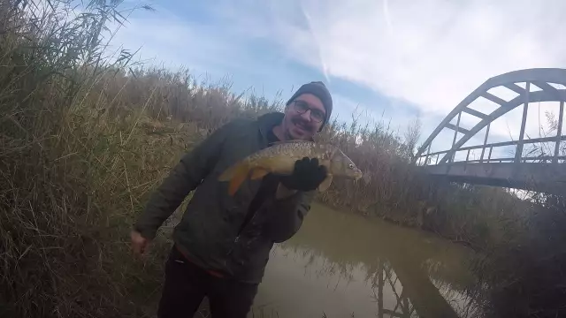
uploaded by: Robbie88
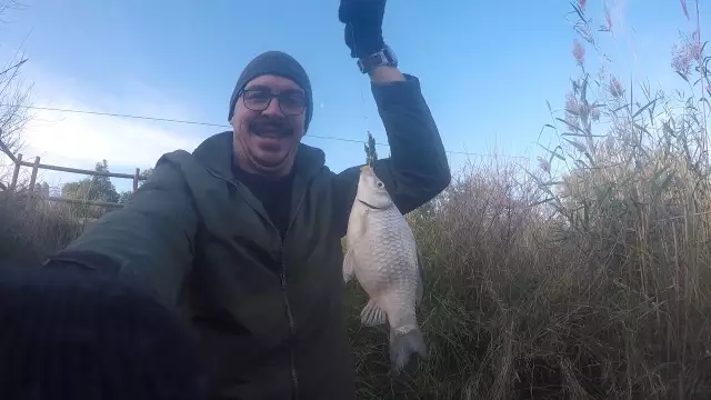
uploaded by: Robbie88
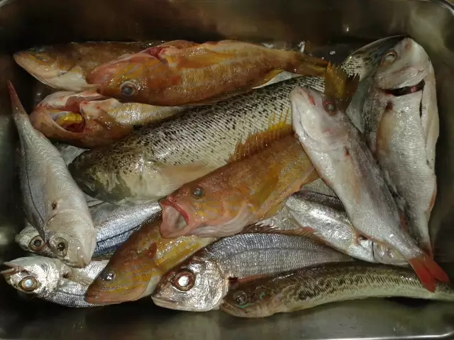
uploaded by: Aleks Šakota
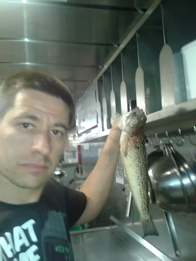
uploaded by: Aleks Šakota

")

Comments