How to use our fishing calendar
Planning your next fishing trip in Bedford, United Kingdom ? Today is a average day for fishing. Our comprehensive fishing almanac combines our popular solunar bite times, moon times, sunrise and sunset times, and a 7-day fishing calendar so you always know the best fishing times in your area. We analyse major and minor solunar bite times, rate each day on a five-star scale, and pair it with localized weather forecasts so you can quickly tell whether today is a good day to fish without juggling multiple tabs. Be sure to bookmark this page so you never miss a bite. view bite times...
- Check our unique Solunar Clock for precise solunar bite times and the best moon phases.
- Use the forecast calendar section to sync bite times with major weather changes.
- Analyze the forecasted weather conditions, such as wind, barometric pressure and rain to plan your fishing session.
- Jump to the 7-Day Fishing Calendar for an extended fishing forecast, then explore nearby fishing spots on the interactive map.
Bedford, United Kingdom offers productive coarse fishing on the River Great Ouse and a strong network of day-ticket and club lakes, making it a popular destination for carp, barbel and match anglers. With slow meandering river sections, gravel runs and well-managed stillwaters, Bedford fishing appeals to pleasure, specimen and feeder anglers alike. read more...
Sun and Moon Times
-
Nautical Twilight begins:Sunrise:
-
Sunset:Nautical Twilight ends:
-
Moonrise:
-
Moonset:
-
Moon over:
-
Moon under:
-
Visibility:49%
-
 Third Quarter Moon
-
Distance to earth:363,923 kmProximity:98.1 %
Moon Phases for Bedford
-
average Day
-
major Time:
 05:36 am -
07:36 am
05:36 am -
07:36 am
-
minor Time:02:52 pm - 04:52 pm
-
major Time:
06:10 pm -
08:10 pm
-
minor Time:09:28 pm - 11:28 pm
Current Fishing Weather
Wind Speed and Direction
Wind Direction:
Wind Speed:
Wind Direction and Speed are one of the most important aspects for choosing a fishing spot. An offshore wind can help land-based anglers with longer casting distances, while an onshore wind will make kayak fishing safer. Often fish will also move to certain feeding areas depending on the wind direction. Check out the long term wind forecast at the charts below.
Fishing Barometer
Atmospheric Pressure:
Change since midnight:
Trend for next 6 hours:
Atmospheric or Barometric Pressure affects fish activity. The best fishing can be had on a rising barometer and also the time just before it is falling. A steady barometer in the higher ranges can also mean good fishing. A falling or low barometer reading without much change is usually not a very good time for fishing.
UV Effect on Fishing
As a rule of thumb, the higher the UV index, the deeper fish will move. Shallow water fishing is best done at times with a low UV index. When the UV is high, stick to early mornings, late evenings and shaded areas. The effect is less noticable in deeper water, but often a higher UV index can produce good results in the deep.
7 Day Fishing Weather
| Date | Major Bite Times | Minor Bite Times | Sun | Moon | Moonphase |
|---|---|---|---|---|---|
|
|
-
-
|
-
-
|
R: S: |
R: S: |
Third Quarter Moon |
|
|
-
-
|
-
-
|
R: S: |
R: S: |
Third Quarter Moon |
|
|
-
-
|
-
-
|
R: S: |
R: S: |
Third Quarter Moon |
|
|
-
-
|
-
-
|
R: S: |
R: S: |
 Waning Crescent |
|
|
-
-
|
-
-
|
R: S: |
R: S: |
Waning Crescent |
|
|
-
-
|
-
-
|
R: S: |
R: S: |
Waning Crescent |
|
|
-
-
|
-
-
|
R: S: |
R: S: |
 New Moon |
|
|
-
-
|
-
-
|
R: S: |
R: S: |
New Moon |
Fishing Overview Bedford
Fishing in Bedford centres on the River Great Ouse and a spread of nearby gravel pits, park lakes and commercial fisheries. The town’s stretch of the Great Ouse mixes slow, deep bends with pacey runs and crease lines, giving year-round opportunities for barbel, chub, roach and bream. Stillwaters around Bedford offer reliable carp and mixed coarse fishing, ideal when the river is out of sorts or carrying extra colour.
Seasonal patterns on the Great Ouse are key. In early spring, roach, dace and small chub respond to light feeder and waggler tactics in steadier water, while perch gather around boat channels and features such as bridges and moorings. As water temperatures rise into late spring and summer, barbel and bigger chub become more active; evening and after-dark sessions with meat, pellets or boilies account for many of the better fish. Summer also sees shoals of bream and skimmers move onto gravel bars and deeper glides, ideal for cage feeder approaches.
Autumn in Bedford is prime time for quality roach, chub and the first serious pike sessions. Cooler, stable river levels concentrate fish on the deeper outside bends and below weirs. In winter, the Great Ouse can be hard when it is clear and low, so scaling down to fine lines, small hooks and single maggots or pinkies is often essential. When mild, coloured water pushes through, barbel and chub feed confidently, responding well to high-visibility baits and strong-smelling groundbait or pellets.
Habitat types and where to start are straightforward to read around Bedford. On the river, look for:
- Outside bends with 1.5–3 m of depth for bream, roach and winter fish.
- Gravelly, pacey runs and crease lines for barbel and chub.
- Locks, weirs and marinas for predators such as pike and zander.
- Overhanging trees, reed beds and moored boats for perch and chub.
Local stillwaters usually feature marginal shelves, central bars and islands that hold carp, tench and silver fish. On smaller Bedford lakes and commercials, locating the drop-off from the near shelf and any obvious cover is more important than extreme range; most fish are caught within 20–30 m of the bank.
Techniques and tactical tips vary by target species. For river barbel and chub, robust feeder or straight lead tactics with 8–12 mm pellets, cubes of luncheon meat or small boilies work well; feed little and often, adjusting weight to just hold bottom. On clearer days, try longer hooklengths and keep disturbance to a minimum. For roach and dace, a 13 ft float rod with stick float or waggler, size 18–20 hooks and regular loose-feeding of maggots or hemp is reliable, especially on smooth glides through the town.
Stillwater carp in the Bedford area respond to method feeders with wafters, small boilies or sweetcorn tight to islands and far-bank features. Keep groundbait mixes fairly dark and low in feed on pressured waters, topping up with small PVA bags rather than heavy spombing. On mixed lakes, pellet waggler, margin float fishing and short pole work well, particularly in warm months when fish cruise mid-water or patrol the edges. For predators, simple float-fished deadbaits or wobbling small roach and smelt around drop-offs and marinas can be very effective through late autumn and winter.
Interactive Fishing Map for the greater Bedford area
We found a total of 35 potential fishing spots nearby Bedford. Below you can find them organized on a map. Points, Headlands, Reefs, Islands, Channels, etc can all be productive fishing spots. As these are user submitted spots, there might be some errors in the exact location. You also need to cross check local fishing regulations. Some of the spots might be in or around marine reserves or other locations that cannot be fished. If you click on a location marker it will bring up some details and a quick link to google search, satellite maps and fishing times. Tip: Click/Tap on a new area to load more fishing spots.
Rink Islands - 0.19765085131km , Longholme Island - 1.32756981436km , Apple Island - 3.7711251791km , Dick's Island - 7.5769915434km , Stewartby Lake - 8.37614548642km , Bird Island - 9.31148792785km , Perch Islands - 10.40671390717km , Pinchmill Islands - 10.72434370334km , Millholme Island - 12.24393017187km , River Kym - 17.52649888477km , River Ouzel - 18.74584352364km , Willen Lake - 19.61571281584km , Tongwell Lake - 19.66057964933km , Caldecotte Lake - 21.60097698614km , Furzton Lake - 24.45522110807km , Newfoundout - 24.49737379149km , Lodge Lake - 24.63423555939km , Blue Lagoon - 24.83315575784km , River Tove - 26.25991095541km , Battcock's Island - 31.81563579911km , Holt Island - 33.93871404782km , Riddy Island - 38.39397292476km , The Old Bourne - 38.43540782681km , Monkey Island - 39.28361467827km , Dane End Tributary - 40.02237261657km , Mill Pond - 40.36670552625km , Puckeridge Tributary - 42.05370599369km , Broad Water Island - 43.54785658363km , Braughing Warren Bourne - 43.58625311805km , Heron Island - 43.63463078778km , Verulamium Lake - 43.68153039688km , River Rib - 46.26455890663km , River Beane - 47.12343653405km , Chantry Island - 49.37779804867km , Grotto Island - 49.78649797499km
 Harbours and
Marinas
Harbours and
Marinas
 Beaches
 Bays
Bays
 Wharfs
 Points,Reefs,etc
Latest Catches

uploaded by: SzatanEK666

uploaded by: SzatanEK666

uploaded by: SzatanEK666
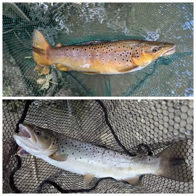
uploaded by: John Needham

uploaded by: John Needham
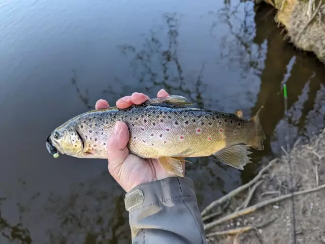
uploaded by: John Needham

uploaded by: John Needham
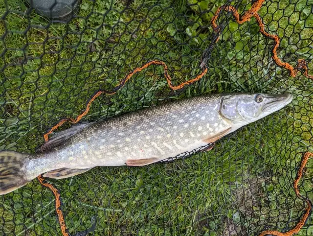
uploaded by: John Needham
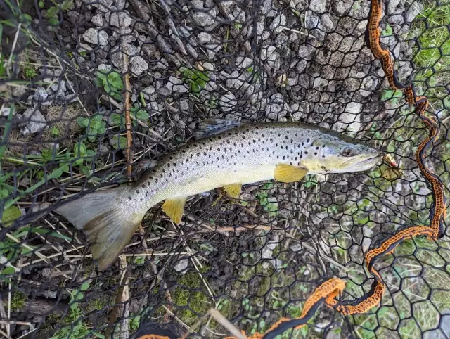
uploaded by: John Needham
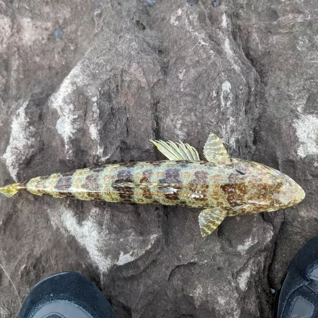
uploaded by: John Needham


Comments