How to use our fishing calendar
Planning your next fishing trip in Blackburn, United Kingdom ? Today is a poor day for fishing. Our comprehensive fishing almanac combines our popular solunar bite times, moon times, sunrise and sunset times, nearby tide tables, and a 7-day fishing calendar so you always know the best fishing times in your area. We analyse major and minor solunar bite times, rate each day on a five-star scale, and pair it with localized weather forecasts so you can quickly tell whether today is a good day to fish without juggling multiple tabs. Be sure to bookmark this page so you never miss a bite. view bite times...
- Check our unique Solunar Clock for precise solunar bite times and the best moon phases.
- Use the Tide Clock section to sync bite times with high and low tide tables.
- Analyze the forecasted weather conditions, such as wind, barometric pressure and rain to plan your fishing session.
- Jump to the 7-Day Fishing Calendar for an extended fishing forecast, then explore nearby fishing spots on the interactive map.
Blackburn, Lancashire offers varied freshwater fishing across canals, rivers, and small stillwaters, making it a strong North West base for coarse and predator anglers. From the Leeds & Liverpool Canal through to nearby rivers like the Ribble and Darwen, anglers target everything from hard-fighting barbel to specimen pike and canal roach on light tackle. read more...
Sun and Moon Times
-
Nautical Twilight begins:Sunrise:
-
Sunset:Nautical Twilight ends:
-
Moonrise:
-
Moonset:
-
Moon over:
-
Moon under:
-
Visibility:48%
-
 First Quarter Moon
-
Distance to earth:404,191 kmProximity:3.5 %
Moon Phases for Blackburn
-
poor Day
-
major Time:
 06:12 am -
08:12 am
06:12 am -
08:12 am
-
minor Time:02:41 pm - 04:41 pm
-
major Time:06:21 pm - 08:21 pm
-
minor Time:10:01 pm - 12:01 am
Tides Times for Fishing: Sun, 18 Oct
Tide Clock
Tide Graph
Times
| Tide | Time | Height |
|---|---|---|
| high | 04:21 am | 23.82 ft |
| low | 10:50 am | 12.04 ft |
| high | 04:50 pm | 23.98 ft |
| low | 11:43 pm | 11.81 ft |
Current Fishing Weather
Wind Speed and Direction
Wind Direction:
Wind Speed:
Wind Direction and Speed are one of the most important aspects for choosing a fishing spot. An offshore wind can help land-based anglers with longer casting distances, while an onshore wind will make kayak fishing safer. Often fish will also move to certain feeding areas depending on the wind direction. Check out the long term wind forecast at the charts below.
Fishing Barometer
Atmospheric Pressure:
Change since midnight:
Trend for next 6 hours:
Atmospheric or Barometric Pressure affects fish activity. The best fishing can be had on a rising barometer and also the time just before it is falling. A steady barometer in the higher ranges can also mean good fishing. A falling or low barometer reading without much change is usually not a very good time for fishing.
UV Effect on Fishing
As a rule of thumb, the higher the UV index, the deeper fish will move. Shallow water fishing is best done at times with a low UV index. When the UV is high, stick to early mornings, late evenings and shaded areas. The effect is less noticable in deeper water, but often a higher UV index can produce good results in the deep.
7 Day Fishing Weather
| Date | Major Bite Times | Minor Bite Times | Sun | Moon | Moonphase | Tide Times |
|---|---|---|---|---|---|---|
|
|
-
-
|
-
-
|
R: S: |
R: S: |
First Quarter Moon |
high:
, 25.72 ft
, Coeff: 71
low:
, 10.47 ft
high:
, 25.69 ft
, Coeff: 71
low:
, 10.7 ft
|
|
|
-
-
|
-
-
|
R: S: |
R: S: |
First Quarter Moon |
high:
, 23.82 ft
, Coeff: 60
low:
, 12.04 ft
high:
, 23.98 ft
, Coeff: 61
low:
, 11.81 ft
|
|
|
-
-
|
-
-
|
R: S: |
R: S: |
First Quarter Moon |
high:
, 22.21 ft
, Coeff: 50
low:
, 13.02 ft
high:
, 22.97 ft
, Coeff: 55
|
|
|
-
-
|
-
-
|
R: S: |
R: S: |
First Quarter Moon |
low:
, 11.98 ft
high:
, 21.95 ft
, Coeff: 49
low:
, 12.73 ft
high:
, 23.56 ft
, Coeff: 58
|
|
|
-
-
|
-
-
|
R: S: |
R: S: |
 Waxing Gibbous |
low:
, 10.96 ft
high:
, 23.43 ft
, Coeff: 57
low:
, 11.29 ft
high:
, 25.26 ft
, Coeff: 68
|
|
|
-
-
|
-
-
|
R: S: |
R: S: |
Waxing Gibbous |
low:
, 9.25 ft
high:
, 25.46 ft
, Coeff: 69
low:
, 9.48 ft
high:
, 27.2 ft
, Coeff: 79
|
|
|
-
-
|
-
-
|
R: S: |
R: S: |
Waxing Gibbous |
low:
, 7.51 ft
high:
, 27.43 ft
, Coeff: 81
low:
, 7.81 ft
high:
, 29.07 ft
, Coeff: 90
|
|
|
-
-
|
-
-
|
R: S: |
R: S: |
 Full Moon |
low:
, 6.07 ft
high:
, 29.23 ft
, Coeff: 91
low:
, 6.43 ft
high:
, 30.74 ft
, Coeff: 100
|
Fishing Overview Blackburn
Fishing in and around Blackburn centres on a mix of canals, rivers and small commercial-style stillwaters, all within a short drive of the town. The Leeds & Liverpool Canal, nearby stretches of the River Ribble and River Darwen, and a cluster of day-ticket and club waters give coarse and predator anglers consistent sport through the year.
Seasonal patterns are key in this part of Lancashire. From late spring through early autumn, canals and stillwaters around Blackburn produce steady bags of roach, skimmers, perch and F1s on pole or waggler tactics, with early mornings and late evenings best on bright days. Summer river levels on the Ribble and Darwen suit trotted baits for dace, chub and the chance of barbel in heavier runs. Autumn is prime time for canal pike and big perch on deadbaits or lures, especially once boat traffic drops and water clarity improves. Through winter, scaled-down canal rigs score with bread punch or pinkies for roach and skimmers, while predator specialists work the deeper canal pounds and slower river bends for pike.
Habitat and water types around Blackburn are varied. The Leeds & Liverpool Canal offers classic towpath fishing with uniform depth, feature points around bridges, marinas and turning bays, and shelves a metre or so down from the far bank. The River Ribble nearby is broader and more powerful, with gravel runs, deep holes and creases ideal for chub and barbel tactics. The River Darwen is smaller and more intimate, with riffles and pockets that respond well to light trotting gear. Local stillwaters and club lakes typically hold carp, F1s, tench and silver fish, often with well‑defined island features, marginal shelves and open-water shelves at pole range.
Effective techniques depend on venue. On the canal, a 4–6 metre pole with fine elastic and 0.08–0.12mm hooklengths is standard, feeding small but regular nuggets of groundbait or hemp with casters, maggots or pinkies on the hook. Bread punch works well for roach in colder months. When targeting canal bream and skimmers, step up to slightly heavier rigs, feed a dedicated groundbait line with micro pellets or chopped worm, and hold the float rock steady down the near or far shelf. For canal pike and perch, small natural‑pattern shads, spinners and suspending plugs searched along moored boats, lock mouths and reed lines often out‑fish static baits.
On the rivers near Blackburn, a waggler or stick float set just overdepth and run through steady glides with maggot, caster or corn will pick up dace, roach and chub. For barbel, anglers favour heavier feeder rods with open‑end or cage feeders packed with pellets and crumb, fishing banded pellets, meat or boilies on strong hooklengths in the deeper, pacey runs. Stillwaters respond well to method feeder tactics tight to islands for carp and F1s, or short‑range pole fishing with micros and soft pellets for steady catch rates. Marginal stalking with simple lead rigs and boilies or corn can single out better carp in low‑pressure periods.
Tactical tips for Blackburn anglers include travelling light on the canal to stay mobile and follow fish activity, paying close attention to boat movement and resting your line after each passage. On rivers, time sessions around stable or falling levels for consistent sport. On stillwaters, watch for liners and bubbling to refine your feed amount and hookbait position. Combining location, simple rigs and regular feeding is the most reliable way to unlock the diverse fishing options around Blackburn.
Interactive Fishing Map for the greater Blackburn area
Beaches and Bays are ideal places for land-based fishing. If the beach is shallow and the water is clear then twilight times are usually the best times, especially when they coincide with a major or minor fishing time. Often the points on either side of a beach are the best spots. Or if the beach is large then look for irregularities in the breaking waves, indicating sandbanks and holes. We found 1 beaches and bays in this area.
St Anne's Beach - 36.30751927667km
Harbours and Marinas can often times be productive fishing spots for land based fishing as their sheltered environment attracts a wide variety of bait fish. Similar to river mouths, harbour entrances are also great places to fish as lots of fish will move in and out with the rising and falling tides. There are 1 main harbours in this area.
Manchester - 32.64128186113km
We found a total of 40 potential fishing spots nearby Blackburn. Below you can find them organized on a map. Points, Headlands, Reefs, Islands, Channels, etc can all be productive fishing spots. As these are user submitted spots, there might be some errors in the exact location. You also need to cross check local fishing regulations. Some of the spots might be in or around marine reserves or other locations that cannot be fished. If you click on a location marker it will bring up some details and a quick link to google search, satellite maps and fishing times. Tip: Click/Tap on a new area to load more fishing spots.
River Hodder - 10.2625327728km , River Loud - 15.20085013637km , River Ribble - 20.51426126798km , Langden Brook - 20.52267996413km , Tosside Beck - 20.52273642889km , River Douglas - 23.16777551812km , River Roch - 23.73263007134km , Calder River - 23.84285034146km , Whitendale River - 24.21545220522km , Croasdale Brook - 24.33925257637km , Brennand River - 24.33925257637km , River Brock - 24.62277145713km , Fir Tree Flash - 27.48633524379km , Westleigh Brook - 29.24220772727km , Hollingworth Lake - 29.35459451375km , Goose Island - 29.55898218537km , Langley's Brook - 30.80189942672km , Hebden Water - 30.84653601616km , Manchester - 32.64128186113km , Mill Stream - 32.64575859493km , River Irwell - 32.66986460628km , Drummersdale - 32.95564524435km , Hurlston Brook - 33.13405226367km , Sandy Brook - 33.27856794266km , River Irk - 33.45612611157km , Black Brook - 33.4828993487km , Saint George's Island - 34.11962825779km , Fine Jane Brook - 34.20828385411km , Stanner Point - 35.23915662307km , River Medlock - 35.91869132777km , St Anne's Beach - 36.30751927667km , River Lune - 36.83068008175km , Salters Bank - 38.53400197691km , Crusader Bank - 38.64492166091km , River Wyre - 39.0861212663km , Keasden Beck - 39.09449056952km , River Bollin - 39.09452285662km , Kettles Beck - 39.50627637272km , Horse Bank - 39.62055162778km , Birkdale Sands - 39.62199321542km
 Harbours and
Marinas
Harbours and
Marinas
 Beaches
 Bays
Bays
 Wharfs
 Points,Reefs,etc
Latest Catches

uploaded by: SzatanEK666

uploaded by: SzatanEK666

uploaded by: SzatanEK666
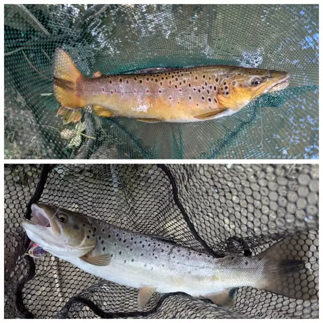
uploaded by: John Needham

uploaded by: John Needham
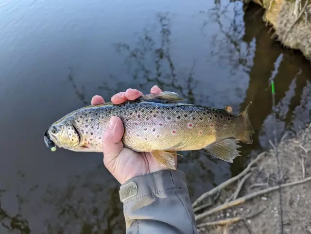
uploaded by: John Needham

uploaded by: John Needham
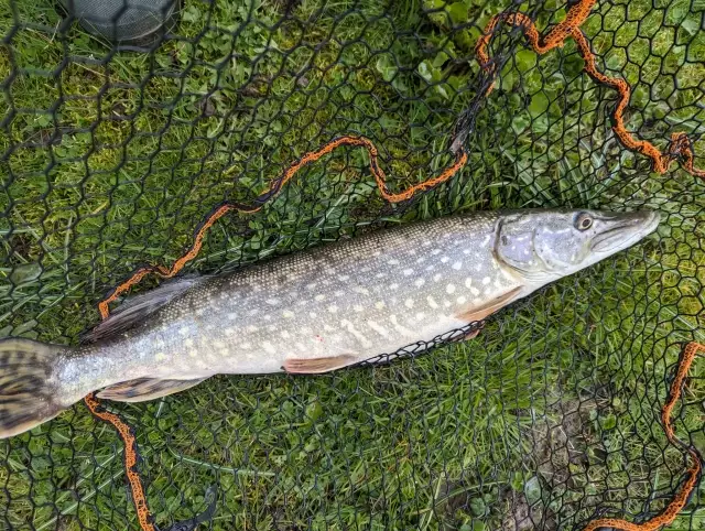
uploaded by: John Needham
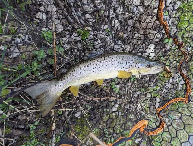
uploaded by: John Needham
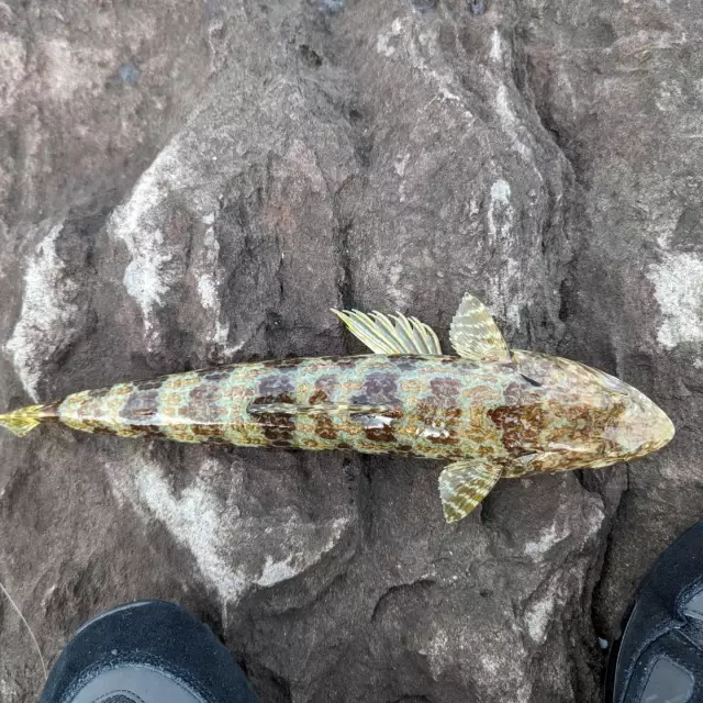
uploaded by: John Needham


Comments