How to use our fishing calendar
Planning your next fishing trip in Blackpool, United Kingdom ? Today is a average day for fishing. Our comprehensive fishing almanac combines our popular solunar bite times, moon times, sunrise and sunset times, nearby tide tables, and a 7-day fishing calendar so you always know the best fishing times in your area. We analyse major and minor solunar bite times, rate each day on a five-star scale, and pair it with localized weather forecasts so you can quickly tell whether today is a good day to fish without juggling multiple tabs. Be sure to bookmark this page so you never miss a bite. view bite times...
- Check our unique Solunar Clock for precise solunar bite times and the best moon phases.
- Use the Tide Clock section to sync bite times with high and low tide tables.
- Analyze the forecasted weather conditions, such as wind, barometric pressure and rain to plan your fishing session.
- Jump to the 7-Day Fishing Calendar for an extended fishing forecast, then explore nearby fishing spots on the interactive map.
Blackpool, on Lancashire’s Irish Sea coast, is a productive saltwater fishing destination famed for its surf beaches, pier fishing and access to mixed rough and clean ground. Anglers target cod, plaice, rays, bass and more along the resort’s famous promenade, using both traditional bait tactics and modern shore fishing techniques. With year-round opportunities and convenient access, Blackpool sea fishing appeals to both casual holiday anglers and serious specimen hunters. read more...
Sun and Moon Times
-
Nautical Twilight begins:Sunrise:
-
Sunset:Nautical Twilight ends:
-
Moonrise:
-
Moonset:
-
Moon over:
-
Moon under:
-
Visibility:49%
-
 Third Quarter Moon
-
Distance to earth:363,923 kmProximity:98.1 %
Moon Phases for Blackpool
-
average Day
-
major Time:
 05:47 am -
07:47 am
05:47 am -
07:47 am
-
minor Time:03:17 pm - 05:17 pm
-
major Time:
06:21 pm -
08:21 pm
-
minor Time:09:25 pm - 11:25 pm
Tides Times for Fishing: Fri, 4 Sep
Tide Clock
Tide Graph
Times
| Tide | Time | Height |
|---|---|---|
| high | 04:25 am | 28.05 ft |
| low | 10:55 am | 8.3 ft |
| high | 04:49 pm | 26.31 ft |
| low | 11:38 pm | 9.19 ft |
Current Fishing Weather
Wind Speed and Direction
Wind Direction:
Wind Speed:
Wind Direction and Speed are one of the most important aspects for choosing a fishing spot. An offshore wind can help land-based anglers with longer casting distances, while an onshore wind will make kayak fishing safer. Often fish will also move to certain feeding areas depending on the wind direction. Check out the long term wind forecast at the charts below.
Fishing Barometer
Atmospheric Pressure:
Change since midnight:
Trend for next 6 hours:
Atmospheric or Barometric Pressure affects fish activity. The best fishing can be had on a rising barometer and also the time just before it is falling. A steady barometer in the higher ranges can also mean good fishing. A falling or low barometer reading without much change is usually not a very good time for fishing.
UV Effect on Fishing
As a rule of thumb, the higher the UV index, the deeper fish will move. Shallow water fishing is best done at times with a low UV index. When the UV is high, stick to early mornings, late evenings and shaded areas. The effect is less noticable in deeper water, but often a higher UV index can produce good results in the deep.
7 Day Fishing Weather
| Date | Major Bite Times | Minor Bite Times | Sun | Moon | Moonphase | Tide Times |
|---|---|---|---|---|---|---|
|
|
-
-
|
-
-
|
R: S: |
R: S: |
Third Quarter Moon |
high:
, 30.02 ft
, Coeff: 96
low:
, 6.56 ft
high:
, 28.22 ft
, Coeff: 85
low:
, 7.78 ft
|
|
|
-
-
|
-
-
|
R: S: |
R: S: |
Third Quarter Moon |
high:
, 28.05 ft
, Coeff: 84
low:
, 8.3 ft
high:
, 26.31 ft
, Coeff: 74
low:
, 9.19 ft
|
|
|
-
-
|
-
-
|
R: S: |
R: S: |
Third Quarter Moon |
high:
, 25.79 ft
, Coeff: 71
low:
, 9.94 ft
high:
, 24.54 ft
, Coeff: 64
|
|
|
-
-
|
-
-
|
R: S: |
R: S: |
 Waning Crescent |
low:
, 9.94 ft
high:
, 24.25 ft
, Coeff: 62
low:
, 10.63 ft
high:
, 24.34 ft
, Coeff: 63
|
|
|
-
-
|
-
-
|
R: S: |
R: S: |
Waning Crescent |
low:
, 9.35 ft
high:
, 24.97 ft
, Coeff: 66
low:
, 9.74 ft
high:
, 26.25 ft
, Coeff: 74
|
|
|
-
-
|
-
-
|
R: S: |
R: S: |
Waning Crescent |
low:
, 7.45 ft
high:
, 27 ft
, Coeff: 78
low:
, 7.81 ft
high:
, 28.61 ft
, Coeff: 88
|
|
|
-
-
|
-
-
|
R: S: |
R: S: |
 New Moon |
low:
, 5.18 ft
high:
, 29.04 ft
, Coeff: 90
low:
, 5.87 ft
high:
, 30.64 ft
, Coeff: 100
|
|
|
-
-
|
-
-
|
R: S: |
R: S: |
New Moon |
low:
, 3.41 ft
high:
, 30.61 ft
, Coeff: 99
low:
, 4.46 ft
high:
, 32.05 ft
, Coeff: 108
|
Fishing Overview Blackpool
Blackpool fishing centres on the long, accessible seafront and its mix of piers, promenades and surf beaches. The shallow, gently sloping Irish Sea foreshore offers classic North West saltwater sport with cod, whiting, rays, bass and flatfish available at different times of year. Most anglers fish from the sea wall, steps or piers, focusing on the flood and first of the ebb when tides push fish tight to the structure and into the gutters.
Winter and early spring are prime for cod and whiting, especially along the main promenade and near the piers. Fish the bigger tides into darkness with 4–6oz gripper leads and long pulley rigs or two-hook flappers loaded with lugworm, black lug and squid cocktails. Cod often hold on any rougher patches or broken ground, while whiting roam the open sand. Keep baits fresh and compact, and vary casting distance to locate fish lanes created by the surf.
From late spring through autumn, attention shifts to thornback rays, smoothhounds and bass. Rays favour sandy patches near the ends of Central and North Pier and the deeper gullies along the lower promenade. Target them on flooding tides with fish or squid baits on pulley pennel rigs using 3/0–4/0 hooks. Smoothhounds show on the warmer months’ bigger tides, especially around rough ground and shallow banks; use peeler crab on strong mono or fluorocarbon snoods and be prepared for long, fast runs.
Flatfish such as plaice, dabs, flounder and the odd turbot or sole are a realistic catch from spring onwards along the beaches towards South Shore and beyond. Light surf gear and two- or three-hook flappers with size 1–2 hooks tipped with ragworm, lugworm or maddies work well. Add coloured beads or small attractors above the hooks in clearer water. Short casts often out-fish long ones, particularly when targeting flatties in the first gutter at low to mid water.
In settled summer weather, shoals of mackerel and garfish can move within range of the piers and higher sea walls. Carry a spinning rod with 20–30g metals or small feathers to quickly capitalise on any surface activity. Coalfish, pollack and school bass will also hit lures fished along pier legs and structure; try slim metal jigs or small soft plastics worked through the mid-water layers on a light braid setup.
Successful Blackpool shore fishing is strongly tide-driven. Big spring tides generally fish best, with many locals favouring the last two hours of the flood and first hour of the ebb. Study the sand banks and run-off channels at low water to identify features to target when the tide floods. Use a tripod on the promenade, keep rod tips high to avoid waves, and clip-down rigs to improve casting efficiency into a persistent onshore breeze.
Fresh bait is a major edge. Lugworm and ragworm underpin most sessions, with squid, mackerel and sandeel for rays and dogfish, and peeler crab for bass and smoothhound. Scale tackle to conditions: heavier 5–6oz beachcasters for rougher seas and winter cod, and lighter surf rods for summer flatties and scratching. By matching rigs and baits to the season and reading the banks, gutters and tide state, anglers can unlock consistent sport along Blackpool’s famous seafront.
Interactive Fishing Map for the greater Blackpool area
Wharf's or Jetties are good places to wet a line and meet other fishermen. They often produce a fresh feed of fish and are also great to catch bait fish. As they are often well lit, they also provide a good opportunity for night fishing. There are 4 wharf(s) in this area.
Bernard Wharf - 17.57136815564km , Clark Wharf Spit - 22.68762644303km , Clark Wharf - 27.40720144685km , Cartmel Wharf - 33.40923129629km
Beaches and Bays are ideal places for land-based fishing. If the beach is shallow and the water is clear then twilight times are usually the best times, especially when they coincide with a major or minor fishing time. Often the points on either side of a beach are the best spots. Or if the beach is large then look for irregularities in the breaking waves, indicating sandbanks and holes. We found 6 beaches and bays in this area.
St Anne's Beach - 7.70725939426km , Ainsdale Beach - 23.21788252021km , Half Moon Bay - 26.56052281314km , Formby Beach - 28.1590601086km , Morecambe Bay - 30.04464499105km , Liverpool Bay - 33.05671946034km
We found a total of 40 potential fishing spots nearby Blackpool. Below you can find them organized on a map. Points, Headlands, Reefs, Islands, Channels, etc can all be productive fishing spots. As these are user submitted spots, there might be some errors in the exact location. You also need to cross check local fishing regulations. Some of the spots might be in or around marine reserves or other locations that cannot be fished. If you click on a location marker it will bring up some details and a quick link to google search, satellite maps and fishing times. Tip: Click/Tap on a new area to load more fishing spots.
Crusader Bank - 3.86993049153km , St Anne's Beach - 7.70725939426km , Salters Bank - 9.34069106787km , Stanner Point - 9.53253571985km , Rossall Point - 11.13025166258km , River Wyre - 12.28439903977km , River Brock - 15.80341440337km , Horse Bank - 16.73122004376km , River Douglas - 17.03220582466km , Bernard Wharf - 17.57136815564km , River Ribble - 18.35775604125km , Calder River - 20.06817966123km , Birkdale Sands - 20.40571828565km , Fine Jane Brook - 20.94957423727km , Sandy Brook - 21.66925780957km , Black Brook - 21.82225081573km , River Lune - 21.89954610623km , Drummersdale - 21.99891629226km , Clark Wharf Spit - 22.68762644303km , Ainsdale Beach - 23.21788252021km , Mill Stream - 23.48893928033km , Hilpsford Point - 25.65644675807km , Mort Bank - 26.33708318232km , Half Moon Bay - 26.56052281314km , Foulney Island - 26.7881704271km , Clark Wharf - 27.40720144685km , Hurlston Brook - 27.49634405755km , Langley's Brook - 27.50061345912km , Formby Point - 28.02016502491km , Formby Beach - 28.1590601086km , Sheep Island - 29.37436251605km , Furness Bank - 29.68034342454km , Roa Island - 29.89033165445km , Morecambe Bay - 30.04464499105km , Goose Island - 31.55259468609km , Taylors Bank - 32.46429230047km , Headin Haw - 32.79748116486km , Liverpool Bay - 33.05671946034km , Dova Haw - 33.40475191763km , Cartmel Wharf - 33.40923129629km
 Harbours and
Marinas
Harbours and
Marinas
 Beaches
 Bays
Bays
 Wharfs
 Points,Reefs,etc
Latest Catches

uploaded by: SzatanEK666

uploaded by: SzatanEK666

uploaded by: SzatanEK666
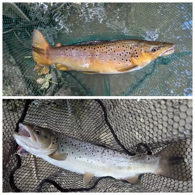
uploaded by: John Needham

uploaded by: John Needham
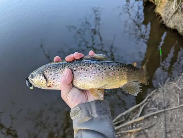
uploaded by: John Needham

uploaded by: John Needham
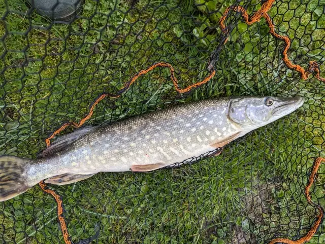
uploaded by: John Needham
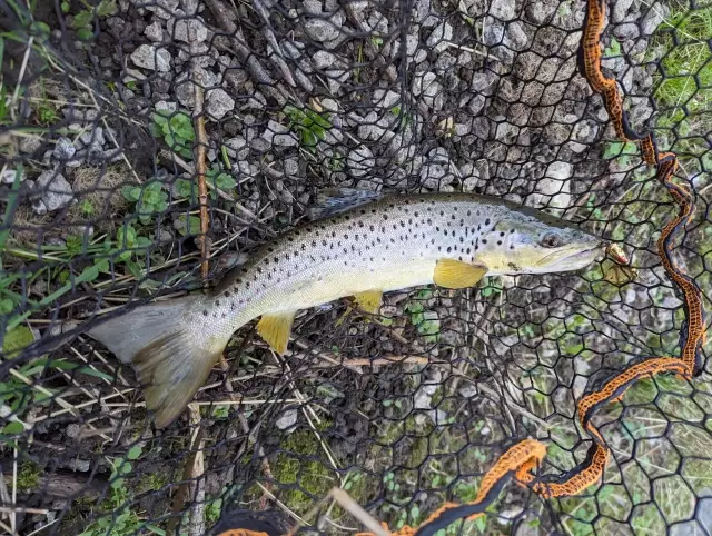
uploaded by: John Needham
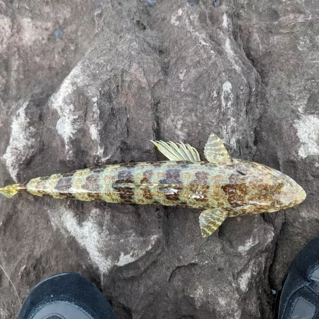
uploaded by: John Needham


Comments