How to use our fishing calendar
Planning your next fishing trip in Bristol, United Kingdom ? Today is a average day for fishing. Our comprehensive fishing almanac combines our popular solunar bite times, moon times, sunrise and sunset times, nearby tide tables, and a 7-day fishing calendar so you always know the best fishing times in your area. We analyse major and minor solunar bite times, rate each day on a five-star scale, and pair it with localized weather forecasts so you can quickly tell whether today is a good day to fish without juggling multiple tabs. Be sure to bookmark this page so you never miss a bite. view bite times...
- Check our unique Solunar Clock for precise solunar bite times and the best moon phases.
- Use the Tide Clock section to sync bite times with high and low tide tables.
- Analyze the forecasted weather conditions, such as wind, barometric pressure and rain to plan your fishing session.
- Jump to the 7-Day Fishing Calendar for an extended fishing forecast, then explore nearby fishing spots on the interactive map.
Fishing in Bristol, United Kingdom, centres on the tidal River Avon, Bristol Harbour and quick access to the Severn Estuary, offering a mix of coarse, predator and light sea fishing. Anglers can target species from perch and pike in urban stretches to flounder and bass in brackish water, with numerous canals, docks and nearby commercial fisheries adding year-round opportunities. read more...
Sun and Moon Times
-
Nautical Twilight begins:Sunrise:
-
Sunset:Nautical Twilight ends:
-
Moonrise:
-
Moonset:
-
Moon over:
-
Moon under:
-
Visibility:49%
-
 Third Quarter Moon
-
Distance to earth:363,923 kmProximity:98.1 %
Moon Phases for Bristol
-
average Day
-
major Time:
 05:46 am -
07:46 am
05:46 am -
07:46 am
-
minor Time:02:56 pm - 04:56 pm
-
major Time:
06:19 pm -
08:19 pm
-
minor Time:09:43 pm - 11:43 pm
Tides Times for Fishing: Fri, 4 Sep
Tide Clock
Tide Graph
Times
| Tide | Time | Height |
|---|---|---|
| low | 06:34 am | 9.88 ft |
| high | 12:20 pm | 35.27 ft |
| low | 06:53 pm | 10.96 ft |
Current Fishing Weather
Wind Speed and Direction
Wind Direction:
Wind Speed:
Wind Direction and Speed are one of the most important aspects for choosing a fishing spot. An offshore wind can help land-based anglers with longer casting distances, while an onshore wind will make kayak fishing safer. Often fish will also move to certain feeding areas depending on the wind direction. Check out the long term wind forecast at the charts below.
Fishing Barometer
Atmospheric Pressure:
Change since midnight:
Trend for next 6 hours:
Atmospheric or Barometric Pressure affects fish activity. The best fishing can be had on a rising barometer and also the time just before it is falling. A steady barometer in the higher ranges can also mean good fishing. A falling or low barometer reading without much change is usually not a very good time for fishing.
UV Effect on Fishing
As a rule of thumb, the higher the UV index, the deeper fish will move. Shallow water fishing is best done at times with a low UV index. When the UV is high, stick to early mornings, late evenings and shaded areas. The effect is less noticable in deeper water, but often a higher UV index can produce good results in the deep.
7 Day Fishing Weather
| Date | Major Bite Times | Minor Bite Times | Sun | Moon | Moonphase | Tide Times |
|---|---|---|---|---|---|---|
|
|
-
-
|
-
-
|
R: S: |
R: S: |
Third Quarter Moon |
low:
, 7.97 ft
high:
, 37.73 ft
, Coeff: 85
low:
, 8.99 ft
high:
, 36.25 ft
, Coeff: 78
|
|
|
-
-
|
-
-
|
R: S: |
R: S: |
Third Quarter Moon |
low:
, 9.88 ft
high:
, 35.27 ft
, Coeff: 74
low:
, 10.96 ft
|
|
|
-
-
|
-
-
|
R: S: |
R: S: |
Third Quarter Moon |
high:
, 33.53 ft
, Coeff: 66
low:
, 11.98 ft
high:
, 32.97 ft
, Coeff: 64
low:
, 12.99 ft
|
|
|
-
-
|
-
-
|
R: S: |
R: S: |
 Waning Crescent |
high:
, 31.73 ft
, Coeff: 59
low:
, 13.62 ft
high:
, 32.41 ft
, Coeff: 62
low:
, 13.55 ft
|
|
|
-
-
|
-
-
|
R: S: |
R: S: |
Waning Crescent |
high:
, 32.55 ft
, Coeff: 62
low:
, 12.8 ft
high:
, 34.51 ft
, Coeff: 71
low:
, 11.06 ft
|
|
|
-
-
|
-
-
|
R: S: |
R: S: |
Waning Crescent |
high:
, 35.73 ft
, Coeff: 76
low:
, 9.58 ft
high:
, 38.25 ft
, Coeff: 87
|
|
|
-
-
|
-
-
|
R: S: |
R: S: |
 New Moon |
low:
, 7.28 ft
high:
, 39.6 ft
, Coeff: 93
low:
, 6.23 ft
high:
, 41.83 ft
, Coeff: 103
|
|
|
-
-
|
-
-
|
R: S: |
R: S: |
New Moon |
low:
, 4.33 ft
high:
, 42.52 ft
, Coeff: 106
low:
, 4.04 ft
high:
, 44.09 ft
, Coeff: 113
|
Fishing Overview Bristol
Bristol offers varied, urban-friendly fishing built around the River Avon, Bristol Harbour and the nearby Severn Estuary. The mix of freshwater, tidal and semi-saline water means you can switch from roach and perch to flounder and bass within a short walk or drive. Much of the productive water is accessible from towpaths and quaysides, making it ideal for short, mobile sessions.
The non-tidal Avon upstream of the city holds classic West Country coarse fish. Roach, bream, perch, pike and chub dominate, with pockets of carp and tench in slower, deeper bends and marinas. In cooler months, target roach and dace in steady glides with stick floats or light feeders and small baits like maggot, pinkie and single caster. Perch and pike respond well to small lures worked along moored boats, overhanging trees and reed beds; natural patterns in the 5–9cm range cover most situations.
Through the city, the tidal Avon and floating harbour become more mixed and brackish, attracting flounder, mullet and occasional bass alongside coarse species. Flounder are most active from late winter into spring and again in autumn. Ledger small ragworm, lugworm or worm-and-maggot cocktails on light running rigs, casting just off the wall or into the edges of channels rather than the middle; these fish often feed tight to structure where food collects.
Mullet thrive around Bristol Harbour, especially in the warmer months. They cruise marinas, pontoons and outflows, feeding on algae and small invertebrates. Stealth is crucial: travel light, keep noise down and use fine tackle with small hooks and delicate floats. Bread flake, thin bread paste or small pieces of prawn fished under a waggler or controller float are proven baits, but present them naturally and avoid casting directly onto visible fish.
In summer, the harbour and lower Avon favour early morning and late evening sessions. Increased boat traffic stirs fish but also pushes them into quieter corners. Work lures along shaded walls, lock entrances and bridge pilings for perch, pike and opportunistic bass. Soft plastics on jig heads and small crankbaits that deflect off structure pick out predators holding in ambush spots.
The wider Severn Estuary, easily reached from Bristol, provides further scope for flounder, bass, codling and whiting. The tides are powerful, so choose marks with firm footing and fish the smaller neaps when possible. Use grip leads sized to hold bottom and keep rigs streamlined; two-hook flappers or simple running rigs baited with lugworm, ragworm or crab are effective over mixed ground and channels.
Canals and stillwaters in the Bristol area add consistent year-round sport. Commercial lakes often hold carp, F1s and silver fish, rewarding method feeders, bomb-and-pellet and short-pole tactics. In winter, scale down to lighter hooklengths and micros; in summer, pellets, corn and meat close in down the margins often produce the bigger fish in the last hour of light.
Across Bristol’s waters, the most successful anglers stay mobile and observant. Watch for fish topping, baitfish scattering, mullet bow waves or bird activity to quickly locate life. Carry a compact kit that allows you to adjust from float to feeder or lure within minutes, and focus on features—drop-offs, moored boats, bridges and outflows—where Bristol’s mixed fish populations naturally concentrate.
Interactive Fishing Map for the greater Bristol area
Beaches and Bays are ideal places for land-based fishing. If the beach is shallow and the water is clear then twilight times are usually the best times, especially when they coincide with a major or minor fishing time. Often the points on either side of a beach are the best spots. Or if the beach is large then look for irregularities in the breaking waves, indicating sandbanks and holes. We found 11 beaches and bays in this area.
Woodhill Bay - 13.14909779728km , Kilkenny Bay - 13.37254149144km , Redcliff Bay - 15.23340178316km , Charlcombe Bay - 15.70615942587km , Pigeon House Bay - 16.49167352003km , Margaret's Bay - 17.44775828387km , Ladye Bay - 17.94657524746km , Scarog Bay - 21.08186587067km , Woodspring Bay - 23.83518123982km , Sand Bay - 27.62745056628km , Weston Bay - 30.60118212643km
Harbours and Marinas can often times be productive fishing spots for land based fishing as their sheltered environment attracts a wide variety of bait fish. Similar to river mouths, harbour entrances are also great places to fish as lots of fish will move in and out with the rising and falling tides. There are 1 main harbours in this area.
Bristol Harbour - 1.57944510307km
We found a total of 40 potential fishing spots nearby Bristol. Below you can find them organized on a map. Points, Headlands, Reefs, Islands, Channels, etc can all be productive fishing spots. As these are user submitted spots, there might be some errors in the exact location. You also need to cross check local fishing regulations. Some of the spots might be in or around marine reserves or other locations that cannot be fished. If you click on a location marker it will bring up some details and a quick link to google search, satellite maps and fishing times. Tip: Click/Tap on a new area to load more fishing spots.
Bristol Harbour - 1.57944510307km , River Trym - 4.03364119802km , River Chew - 8.39213354054km , Moorend - 11.90177433999km , Denny Island - 12.59152146194km , Battery Point - 12.77699986944km , Woodhill Bay - 13.14909779728km , Chew Valley Lake - 13.32381896202km , Kilkenny Bay - 13.37254149144km , Denny Island - 15.02160599052km , Redcliff Bay - 15.23340178316km , Charlcombe Bay - 15.70615942587km , Pigeon House Bay - 16.49167352003km , Langford Brook - 16.71927872996km , Margaret's Bay - 17.44775828387km , Welsh Grounds - 17.59685117839km , River Severn - 17.61933206608km , Ladye Bay - 17.94657524746km , Scarog Bay - 21.08186587067km , Welsh Hook - 22.78434291665km , Congresbury Yeo - 22.83936184508km , Cheddar Yeo - 23.75630474146km , Woodspring Bay - 23.83518123982km , English Grounds - 24.94286235948km , Sand Point - 27.42966069069km , Sand Bay - 27.62745056628km , Ebbw River - 29.38234503675km , Afon Lwyd - 29.4676729424km , Knightstone - 29.662675921km , Birnbeck Island - 30.05656385574km , River Usk - 30.3891894768km , Cat Brook - 30.43511046098km , Weston Bay - 30.60118212643km , River Axe - 31.37024529134km , Brean Down - 33.11362864537km , Marston Pond - 33.47007333639km , Redford Water - 34.90401076572km , Berrow Flats - 35.92375574462km , Rhymney River - 36.89134787141km , Half-mile Pond - 36.95951759832km
 Harbours and
Marinas
Harbours and
Marinas
 Beaches
 Bays
Bays
 Wharfs
 Points,Reefs,etc
Latest Catches

uploaded by: SzatanEK666

uploaded by: SzatanEK666

uploaded by: SzatanEK666
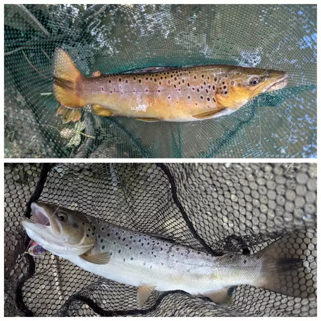
uploaded by: John Needham

uploaded by: John Needham
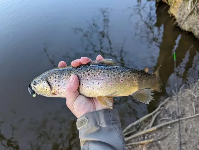
uploaded by: John Needham

uploaded by: John Needham
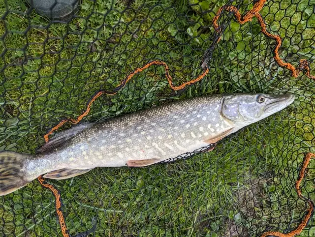
uploaded by: John Needham
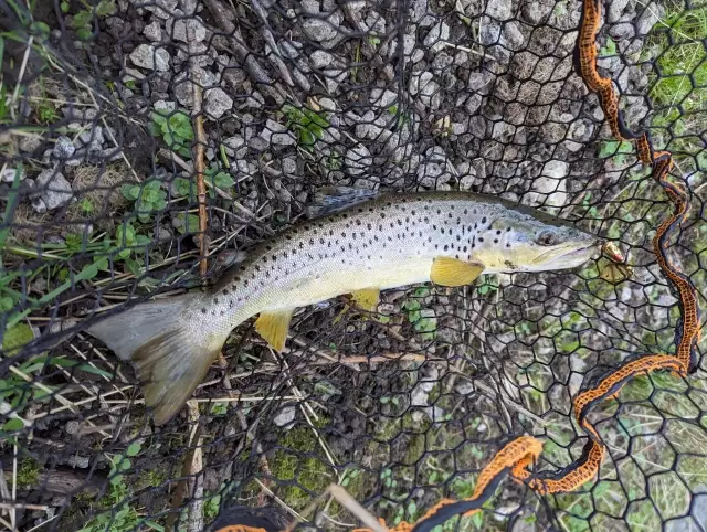
uploaded by: John Needham
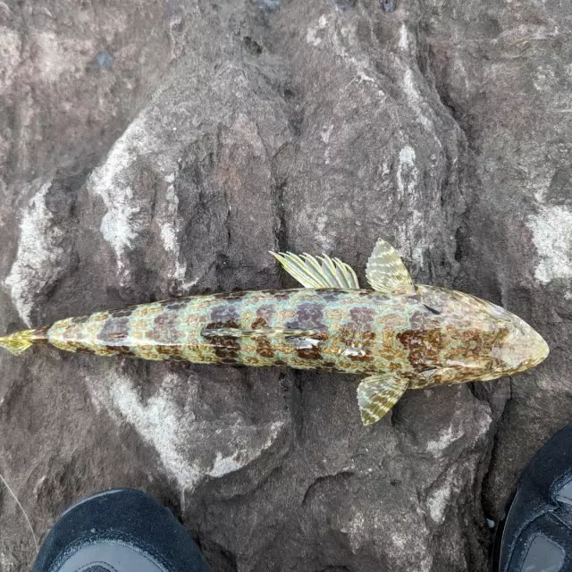
uploaded by: John Needham


Comments