

-
Nautical Twilight begins:Sunrise:
-
Sunset:Nautical Twilight ends:
-
Moonrise:
-
Moonset:
-
Moon over:
-
Moon under:
-
Visibility:64%
-
 First Quarter Moon
-
Distance to earth:382,871 kmProximity:53.6 %
Moon Phases for Kerewa
-
average Day
-
minor Time:12:24 am - 02:24 am
-
major Time:06:27 am - 08:27 am
-
minor Time:12:30 pm - 02:30 pm
-
major Time:06:52 pm - 08:52 pm
Tide Clock
Tide Graph
Times
| Tide | Time | Height |
|---|---|---|
| low | 01:30 am | 3.94 ft |
| high | 07:02 am | 9.06 ft |
| low | 12:56 pm | 4.46 ft |
| high | 07:04 pm | 11.81 ft |
Wind Speed and Direction
Wind Direction:
Wind Speed:
Wind Direction and Speed are one of the most important aspects for choosing a fishing spot. An offshore wind can help land-based anglers with longer casting distances, while an onshore wind will make kayak fishing safer. Often fish will also move to certain feeding areas depending on the wind direction. Check out the long term wind forecast at the charts below.
Fishing Barometer
Atmospheric Pressure:
Change since midnight:
Trend for next 6 hours:
Atmospheric or Barometric Pressure affects fish activity. The best fishing can be had on a rising barometer and also the time just before it is falling. A steady barometer in the higher ranges can also mean good fishing. A falling or low barometer reading without much change is usually not a very good time for fishing.
UV Effect on Fishing
As a rule of thumb, the higher the UV index, the deeper fish will move. Shallow water fishing is best done at times with a low UV index. When the UV is high, stick to early mornings, late evenings and shaded areas. The effect is less noticable in deeper water, but often a higher UV index can produce good results in the deep.
| Date | Major Bite Times | Minor Bite Times | Sun | Moon | Moonphase | Tide Times |
|---|---|---|---|---|---|---|
|
|
-
-
|
-
-
|
R: S: |
R: S: |
First Quarter Moon |
low:
, 3.94 ft
high:
, 9.06 ft
, Coeff: 41
low:
, 4.46 ft
high:
, 11.81 ft
, Coeff: 77
|
|
|
-
-
|
-
-
|
R: S: |
R: S: |
Waxing Gibbous |
low:
, 2.79 ft
high:
, 10.4 ft
, Coeff: 58
low:
, 3.28 ft
high:
, 12.8 ft
, Coeff: 90
|
|
|
-
-
|
-
-
|
R: S: |
R: S: |
Waxing Gibbous |
low:
, 1.84 ft
high:
, 11.75 ft
, Coeff: 76
low:
, 2.26 ft
high:
, 13.52 ft
, Coeff: 100
|
|
|
-
-
|
-
-
|
R: S: |
R: S: |
Waxing Gibbous |
low:
, 1.15 ft
high:
, 12.93 ft
, Coeff: 92
low:
, 1.51 ft
high:
, 13.88 ft
, Coeff: 105
|
|
|
-
-
|
-
-
|
R: S: |
R: S: |
Full Moon |
low:
, 0.72 ft
high:
, 13.85 ft
, Coeff: 104
low:
, 1.15 ft
high:
, 13.78 ft
, Coeff: 103
|
|
|
-
-
|
-
-
|
R: S: |
R: S: |
Full Moon |
low:
, 0.66 ft
high:
, 14.4 ft
, Coeff: 112
low:
, 1.21 ft
high:
, 13.25 ft
, Coeff: 96
|
|
|
-
-
|
-
-
|
R: S: |
R: S: |
Full Moon |
low:
, 0.89 ft
high:
, 14.53 ft
, Coeff: 113
low:
, 1.67 ft
high:
, 12.34 ft
, Coeff: 84
|
Best Fishing Spots in the greater Kerewa area
We found a total of 40 potential fishing spots nearby Kerewa. Below you can find them organized on a map. Points, Headlands, Reefs, Islands, Channels, etc can all be productive fishing spots. As these are user submitted spots, there might be some errors in the exact location. You also need to cross check local fishing regulations. Some of the spots might be in or around marine reserves or other locations that cannot be fished. If you click on a location marker it will bring up some details and a quick link to google search, satellite maps and fishing times. Tip: Click/Tap on a new area to load more fishing spots.
Aumo Passage - 2.04114474296km , Omati River - 2.25293298467km , Goaribari Island - 3.69004575353km , Risk Point - 7.40487923843km , Newberry River - 10.39784710227km , Paibuna River - 12.03318335675km , Kikori River - 12.90980337995km , Jukes Point - 13.50250308839km , Babaibari Island - 13.84631405085km , Aird River - 15.36752473702km , Nakari River - 17.07859697838km , Wamiaturi Creek - 19.24050534649km , Dua River - 21.03789717351km , Kerowaiai Island - 22.94498874063km , Ibibubari Island - 28.59923971105km , Iamu Creek - 28.8646624346km , Morigio Island - 29.57988596027km , Veiru Creek - 31.59706976636km , Nabiu River - 32.29289687363km , Turama Channel - 32.58731141311km , Bevan Sound - 32.68819241984km , Turama River - 33.29539842596km , Auro River - 34.27341554932km , Cape Blackwood - 35.50547499502km , Saumao Peninsula - 37.27054009978km , Neabo Island - 37.71612586679km , Gawai Channel - 38.65152313744km , Pai-A Point - 39.40846929795km , Bell Point - 40.03127730542km , Ware River - 40.4099377085km , Howoi Creek - 40.92501440279km , Pai-A Inlet - 41.64384380492km , Saboro River - 41.7255994654km , Pua River - 42.05062221701km , Wawed River - 42.09865173148km , Nubo Creek - 44.27561831266km , Kupare River - 44.55796872886km , Aiai River - 44.85293552759km , Gama River - 44.90202810491km , Hamai Creek - 45.18316731753km

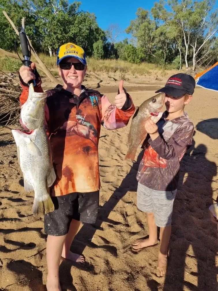
uploaded by: Roake
uploaded by: Wet Patch

uploaded by: Wet Patch

uploaded by: JhunB

uploaded by: tajiran

uploaded by: E Hughes

uploaded by: Mr catch it

uploaded by: tajiran

uploaded by: tajiran

uploaded by: tajiran
")


Comments