-
Nautical Twilight begins:Sunrise:
-
Sunset:Nautical Twilight ends:
-
Moonrise:
-
Moonset:
-
Moon over:
-
Moon under:
-
Visibility:1%
-
 New Moon
-
Distance to earth:405,170 kmProximity:1.2 %
Moon Phases for Sacramento
-
excellent Day
-
major Time:12:07 am - 02:07 am
-
minor Time:07:39 am - 09:39 am
-
major Time:12:38 pm - 02:38 pm
-
minor Time:
 05:38 pm -
07:38 pm
Tide Clock
Tide Graph
Times
| Tide | Time | Height |
|---|---|---|
| low | 04:07 am | -0 ft |
| high | 08:44 am | 2.23 ft |
| low | 03:21 pm | 0.62 ft |
| high | 07:43 pm | 2.95 ft |
Wind Speed and Direction
Wind Direction:
Wind Speed:
Wind Direction and Speed are one of the most important aspects for choosing a fishing spot. An offshore wind can help land-based anglers with longer casting distances, while an onshore wind will make kayak fishing safer. Often fish will also move to certain feeding areas depending on the wind direction. Check out the long term wind forecast at the charts below.
Fishing Barometer
Atmospheric Pressure:
Change since midnight:
Trend for next 6 hours:
Atmospheric or Barometric Pressure affects fish activity. The best fishing can be had on a rising barometer and also the time just before it is falling. A steady barometer in the higher ranges can also mean good fishing. A falling or low barometer reading without much change is usually not a very good time for fishing.
UV Effect on Fishing
As a rule of thumb, the higher the UV index, the deeper fish will move. Shallow water fishing is best done at times with a low UV index. When the UV is high, stick to early mornings, late evenings and shaded areas. The effect is less noticable in deeper water, but often a higher UV index can produce good results in the deep.
| Date | Major Bite Times | Minor Bite Times | Sun | Moon | Moonphase | Tide Times |
|---|---|---|---|---|---|---|
|
|
-
-
|
-
-
|
R: S: |
R: S: |
New Moon |
low:
, -0 ft
high:
, 2.23 ft
, Coeff: 51
low:
, 0.62 ft
high:
, 2.95 ft
, Coeff: 93
|
|
|
-
-
|
-
-
|
R: S: |
R: S: |
Waxing Crescent |
low:
, -0 ft
high:
, 2.2 ft
, Coeff: 49
low:
, 0.75 ft
high:
, 2.99 ft
, Coeff: 95
|
|
|
-
-
|
-
-
|
R: S: |
R: S: |
Waxing Crescent |
low:
, -0 ft
high:
, 2.17 ft
, Coeff: 47
low:
, 0.85 ft
high:
, 3.02 ft
, Coeff: 97
|
|
|
-
-
|
-
-
|
R: S: |
R: S: |
Waxing Crescent |
low:
, 0 ft
high:
, 2.1 ft
, Coeff: 43
low:
, 0.92 ft
high:
, 2.99 ft
, Coeff: 95
|
|
|
-
-
|
-
-
|
R: S: |
R: S: |
Waxing Crescent |
low:
, 0.03 ft
high:
, 2.07 ft
, Coeff: 41
low:
, 0.98 ft
high:
, 2.89 ft
, Coeff: 89
|
|
|
-
-
|
-
-
|
R: S: |
R: S: |
First Quarter Moon |
low:
, 0.03 ft
high:
, 2.03 ft
, Coeff: 39
low:
, 0.98 ft
high:
, 2.72 ft
, Coeff: 80
|
|
|
-
-
|
-
-
|
R: S: |
R: S: |
First Quarter Moon |
low:
, 0.03 ft
high:
, 2.03 ft
, Coeff: 39
low:
, 0.95 ft
high:
, 2.53 ft
, Coeff: 68
|
October Fishing Report
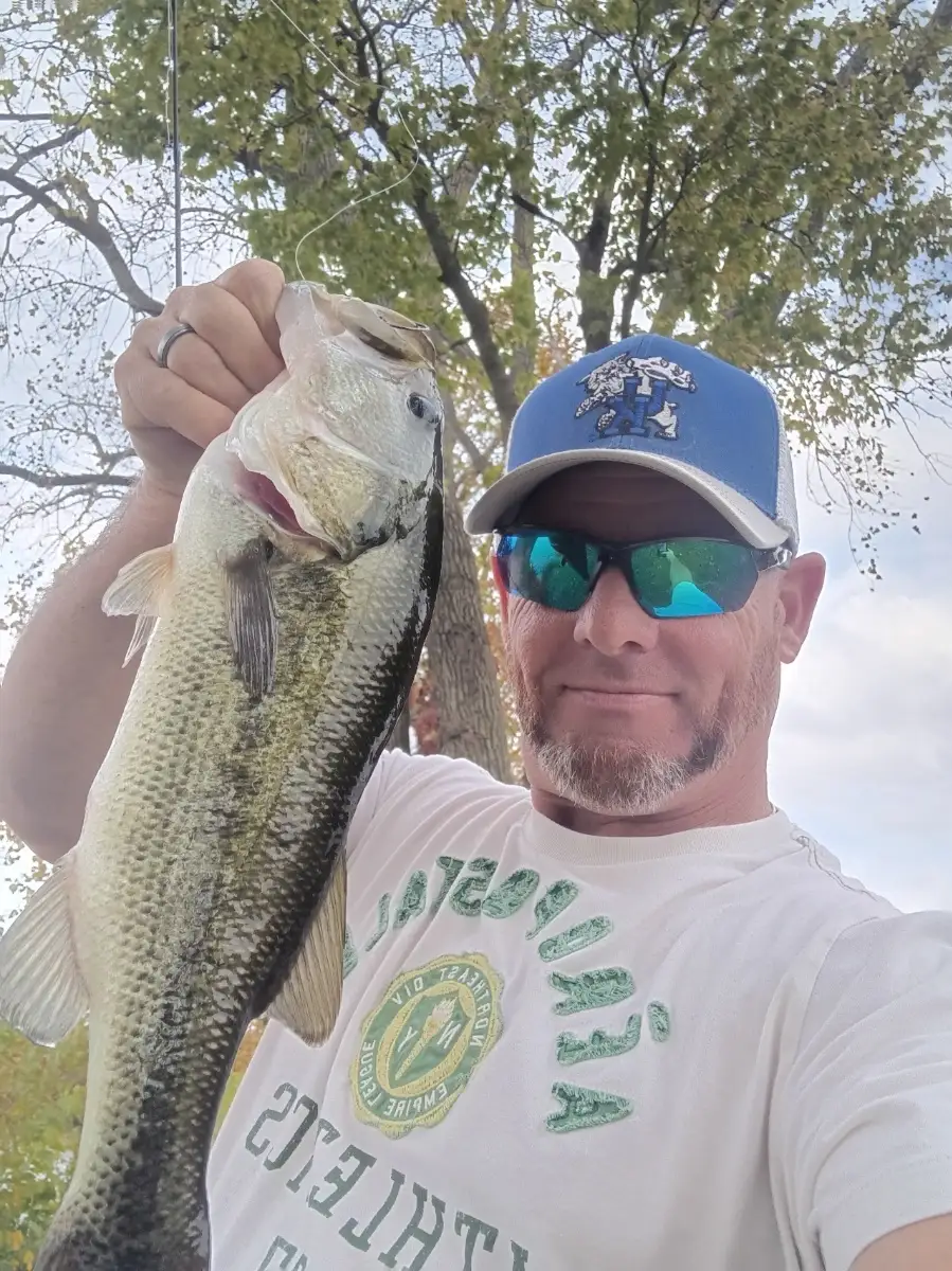
October brings cooler mornings and active fish around Sacramento. The Sacramento and American rivers see the fall push of Chinook salmon, with fish holding in deeper slots and moving at dawn. Striped bass prowl bait-rich edges from Freeport to the Delta, while early steelhead show sporadically below Nimbus. In sloughs and flooded tulles, largemouth bass and spotted bass feed around shallow cover; channel catfish remain steady on cut bait during mild evenings.
Best action is typically dawn and dusk, or during strong tide swings. After the first rains, expect slightly stained water; 2–5 ft clarity favors reaction baits. For stripers, work swimbaits, rattletraps, or topwater along current seams; live bait and bucktails also produce. Salmon anglers are scoring with spoons and plugs in travel lanes. Bass respond to vibrating jigs, squarebills, and downsized plastics when the Delta breeze picks up. Watch for birds corralling bait to locate fast-moving schools.
Top tip: Track outgoing tide windows and target current breaks—position up-current, cast across the seam, and let the lure swing naturally to ambushing fish.
Best Fishing Spots in the greater Sacramento area
Harbours and Marinas can often times be productive fishing spots for land based fishing as their sheltered environment attracts a wide variety of bait fish. Similar to river mouths, harbour entrances are also great places to fish as lots of fish will move in and out with the rising and falling tides. There are 2 main harbours in this area.
Sacramento Marina - 3.01222185521km, Clarksburg Marina - 18.19510026106km
We found a total of 40 potential fishing spots nearby Sacramento. Below you can find them organized on a map. Points, Headlands, Reefs, Islands, Channels, etc can all be productive fishing spots. As these are user submitted spots, there might be some errors in the exact location. You also need to cross check local fishing regulations. Some of the spots might be in or around marine reserves or other locations that cannot be fished. If you click on a location marker it will bring up some details and a quick link to google search, satellite maps and fishing times. Tip: Click/Tap on a new area to load more fishing spots.
American River - 2.48857386285km , Sacramento Marina - 3.01222185521km , Steelhead Creek - 3.42110172314km , Deadmans Lake (historical) - 4.09467879429km , First Bannon Slough - 4.17598337338km , Arcade Creek - 4.78953251517km , Bushy Lake (historical) - 4.93375772638km , Lake Washington - 5.78747907845km , Chicken Ranch Slough - 6.01779182365km , Strong Ranch Slough - 6.22993022089km , Corral Lake (historical) - 6.60455855442km , Magpie Creek - 7.06104521732km , Sutterville Lake (historical) - 7.79533448442km , Lonetree Island (historical) - 7.86763594867km , Lake Greenhaven - 8.85006472014km , Greens Lake - 9.6427456365km , Florin Creek - 11.88590574423km , Todhunters Lake (historical) - 12.22677903885km , South Fork Putah Creek - 12.4806450302km , Sutter Slough - 12.54907442264km , Beacon Creek - 13.3808696588km , Emergency Storage Basin 2004 Dam - 13.78293645614km , Solids Storage Basins 2002 Dam - 14.480398258km , Babel Slough - 14.61047461082km , Debacco 2465 Dam - 16.16926754329km , Winchester Lake - 16.87426277179km , Willow Slough - 17.06661140656km , Whitehouse Creek - 17.53804056084km , Elk Grove Creek - 17.79166715592km , Clarksburg Marina - 18.19510026106km , Cripple Creek - 18.41908857725km , Putah Creek - 18.53660515046km , Buffalo Creek - 20.15922545578km , Mather Dam - 20.29003355545km , North Stone Lake - 20.69477393057km , Frye Creek - 21.45144482822km , Sykes Slough - 21.46116525589km , Big Lake (historical) - 22.10474404254km , Curry Creek - 22.99829092255km , Merritt Island - 23.78655213811km



Comments