-
Nautical Twilight begins:Sunrise:
-
Sunset:Nautical Twilight ends:
-
Moonrise:
-
Moonset:
-
Moon over:
-
Moon under:
-
Visibility:1%
-
 New Moon
-
Distance to earth:405,064 kmProximity:1.5 %
Moon Phases for Ocean View
-
excellent Day
-
minor Time:07:25 am - 09:25 am
-
major Time:12:27 pm - 02:27 pm
-
minor Time:
 05:29 pm -
07:29 pm
-
major Time:11:56 pm - 01:56 am
Tide Clock
Tide Graph
Times
| Tide | Time | Height |
|---|---|---|
| low | 03:01 am | 0.39 ft |
| high | 09:44 am | 3.22 ft |
| low | 03:48 pm | 0.49 ft |
| high | 09:53 pm | 2.66 ft |
Wind Speed and Direction
Wind Direction:
Wind Speed:
Wind Direction and Speed are one of the most important aspects for choosing a fishing spot. An offshore wind can help land-based anglers with longer casting distances, while an onshore wind will make kayak fishing safer. Often fish will also move to certain feeding areas depending on the wind direction. Check out the long term wind forecast at the charts below.
Fishing Barometer
Atmospheric Pressure:
Change since midnight:
Trend for next 6 hours:
Atmospheric or Barometric Pressure affects fish activity. The best fishing can be had on a rising barometer and also the time just before it is falling. A steady barometer in the higher ranges can also mean good fishing. A falling or low barometer reading without much change is usually not a very good time for fishing.
UV Effect on Fishing
As a rule of thumb, the higher the UV index, the deeper fish will move. Shallow water fishing is best done at times with a low UV index. When the UV is high, stick to early mornings, late evenings and shaded areas. The effect is less noticable in deeper water, but often a higher UV index can produce good results in the deep.
| Date | Major Bite Times | Minor Bite Times | Sun | Moon | Moonphase | Tide Times |
|---|---|---|---|---|---|---|
|
|
-
-
|
-
-
|
R: S: |
R: S: |
New Moon |
low:
, 0.39 ft
high:
, 3.22 ft
, Coeff: 129
low:
, 0.49 ft
high:
, 2.66 ft
, Coeff: 92
|
|
|
-
-
|
-
-
|
R: S: |
R: S: |
Waxing Crescent |
low:
, 0.49 ft
high:
, 3.25 ft
, Coeff: 131
low:
, 0.59 ft
high:
, 2.59 ft
, Coeff: 88
|
|
|
-
-
|
-
-
|
R: S: |
R: S: |
Waxing Crescent |
low:
, 0.56 ft
high:
, 3.22 ft
, Coeff: 129
low:
, 0.75 ft
high:
, 2.53 ft
, Coeff: 84
|
|
|
-
-
|
-
-
|
R: S: |
R: S: |
Waxing Crescent |
low:
, 0.66 ft
high:
, 3.15 ft
, Coeff: 124
low:
, 0.89 ft
high:
, 2.43 ft
, Coeff: 77
|
|
|
-
-
|
-
-
|
R: S: |
R: S: |
Waxing Crescent |
low:
, 0.72 ft
high:
, 3.08 ft
, Coeff: 120
low:
, 0.98 ft
|
|
|
-
-
|
-
-
|
R: S: |
R: S: |
Waxing Crescent |
high:
, 2.33 ft
, Coeff: 71
low:
, 0.79 ft
high:
, 3.02 ft
, Coeff: 116
low:
, 1.05 ft
|
|
|
-
-
|
-
-
|
R: S: |
R: S: |
First Quarter Moon |
high:
, 2.26 ft
, Coeff: 67
low:
, 0.82 ft
high:
, 2.92 ft
, Coeff: 109
low:
, 1.02 ft
|
October Fishing Report
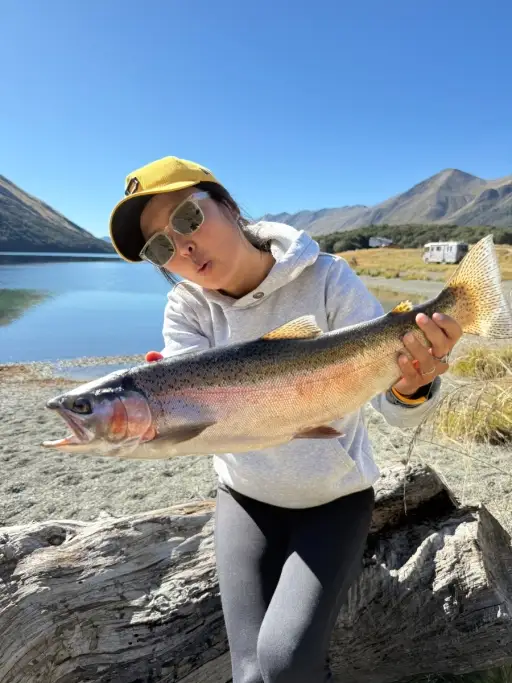
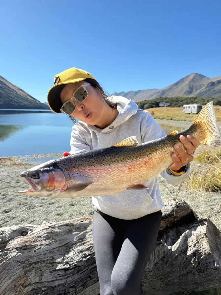
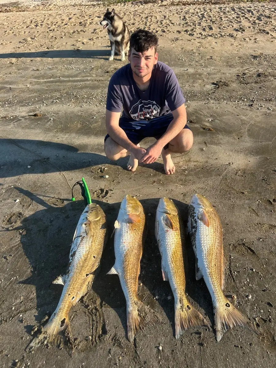
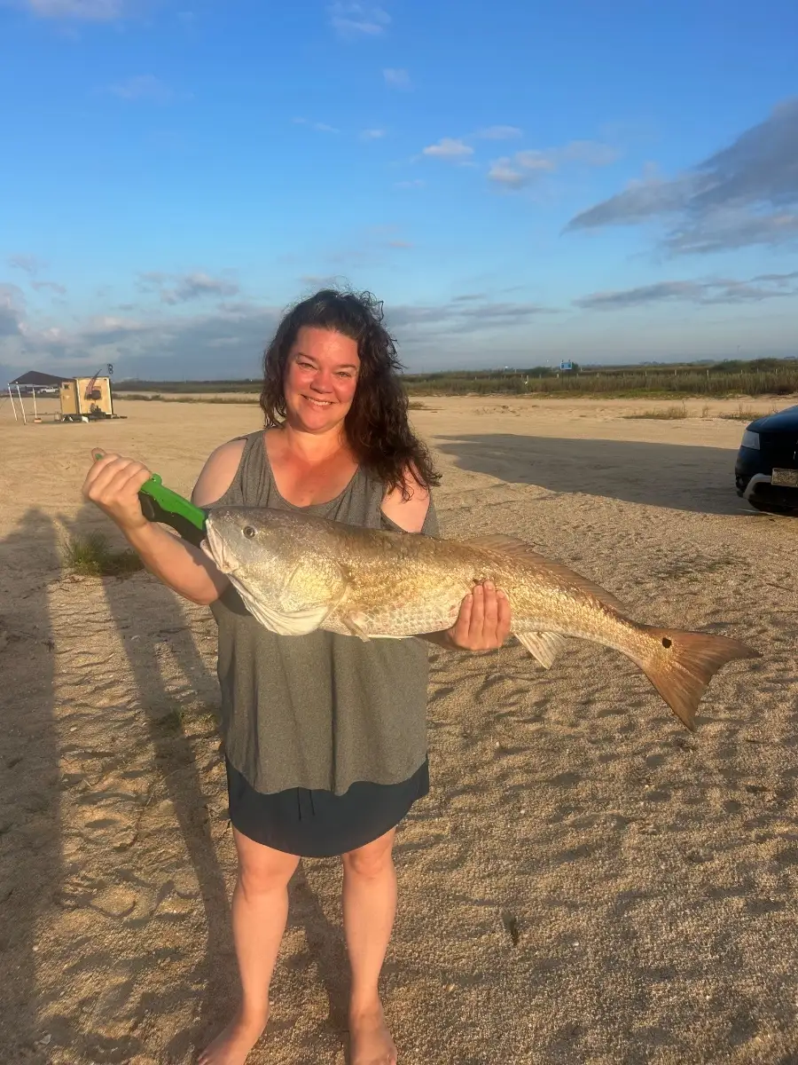
October brings a strong fall bite to Ocean View. Surf anglers are seeing runs of striped bass and bluefish shadowing mullet schools along the beach; cast metal spoons or mullet rigs into the troughs during dawn and dusk on a moving tide. Inside the bays and around bridge pilings, speckled trout and puppy drum (red drum) are hitting soft plastic paddletails in natural hues worked slowly along current seams.
Work inlet rocks and nearshore wrecks for tautog and lingering sheepshead; green crabs or fiddlers fished tight to structure draw the most bites. On calm, clear days after a blow, the water cleans up quickly and the bite often turns on; a light north or northeast breeze with clean, green water has been ideal. If birds are working just outside the breakers, fast-moving schools of snapper blues and the occasional false albacore may blitz—keep a small epoxy jig ready for quick casts.
Top tip: Match the hatch—if mullet are present, switch to slim, chrome plugs or small bunker/mullet-pattern swimbaits and retrieve just fast enough to maintain a tight wobble.
Best Fishing Spots in the greater Ocean View area
Beaches and Bays are ideal places for land-based fishing. If the beach is shallow and the water is clear then twilight times are usually the best times, especially when they coincide with a major or minor fishing time. Often the points on either side of a beach are the best spots. Or if the beach is large then look for irregularities in the breaking waves, indicating sandbanks and holes. We found 4 beaches and bays in this area.
Bethany Beach - 3.28592839657km , Beach Cove - 4.39997738002km , Little Bay - 5.84795184604km , Indian River Bay - 5.90801190184km
We found a total of 40 potential fishing spots nearby Ocean View. Below you can find them organized on a map. Points, Headlands, Reefs, Islands, Channels, etc can all be productive fishing spots. As these are user submitted spots, there might be some errors in the exact location. You also need to cross check local fishing regulations. Some of the spots might be in or around marine reserves or other locations that cannot be fished. If you click on a location marker it will bring up some details and a quick link to google search, satellite maps and fishing times. Tip: Click/Tap on a new area to load more fishing spots.
Derrickson Ditch - 1.11035835686km , Salt Pond - 2.06357695479km , Spring Gut - 2.23214181183km , Sloughs Gut - 2.927594257km , Fresh Pond - 3.11445325596km , White Creek - 3.21993297255km , Bethany Beach - 3.28592839657km , Pasture Point Cove - 3.50765138455km , Joshia Cove - 3.56343544802km , Edgar Prong - 3.7554687096km , Collins Creek - 3.89609965379km , Joshia Prong - 4.04789937448km , Cat Hill Marsh - 4.26830981215km , Beach Cove - 4.39997738002km , Jefferson Creek - 4.74995745213km , Canal Pond - 4.75940560968km , Broken Marshes - 4.83367844688km , Holly Pond - 4.88473594005km , Branch Gut - 4.95808195km , Middle Pond - 5.04009464996km , Tunnel Goose Pond - 5.14035521686km , Salt Works Marsh - 5.20939961278km , Cupboard Pond - 5.23374498131km , Little Sheep Hammock - 5.24447817796km , Branch Gut Cove - 5.34968724313km , Cedar Pond - 5.37620885076km , Miller Creek - 5.43929200696km , Old Basin Cove - 5.50759032354km , Big Sheep Hammock - 5.56135687644km , Clarksville Branch - 5.80433654506km , Little Bay - 5.84795184604km , Gull Island - 5.87387261695km , Indian River Bay - 5.90801190184km , Thirty-five Acre Pond - 6.03567890033km , Sand Island - 6.05036105413km , Brasures Branch - 6.21016821291km , Sixty Five Acre Pond - 6.29946503458km , Mare Marsh - 6.3403842177km , Goose Pond - 6.54515732345km , Zigzag Marsh - 6.64089458511km



Comments