-
Nautical Twilight begins:Sunrise:
-
Sunset:Nautical Twilight ends:
-
Moonrise:
-
Moonset:
-
Moon over:
-
Moon under:
-
Visibility:15%
-
 Waxing Crescent
-
Distance to earth:403,562 kmProximity:5 %
Moon Phases for Landover Hills
-
good Day
-
major Time:02:35 am - 04:35 am
-
minor Time:10:36 am - 12:36 pm
-
major Time:03:02 pm - 05:02 pm
-
minor Time:07:28 pm - 09:28 pm
Tide Clock
Tide Graph
Times
| Tide | Time | Height |
|---|---|---|
| low | 06:25 am | 0.49 ft |
| high | 11:44 am | 2.79 ft |
| low | 05:53 pm | 0.43 ft |
| high | 11:39 pm | 3.22 ft |
Wind Speed and Direction
Wind Direction:
Wind Speed:
Wind Direction and Speed are one of the most important aspects for choosing a fishing spot. An offshore wind can help land-based anglers with longer casting distances, while an onshore wind will make kayak fishing safer. Often fish will also move to certain feeding areas depending on the wind direction. Check out the long term wind forecast at the charts below.
Fishing Barometer
Atmospheric Pressure:
Change since midnight:
Trend for next 6 hours:
Atmospheric or Barometric Pressure affects fish activity. The best fishing can be had on a rising barometer and also the time just before it is falling. A steady barometer in the higher ranges can also mean good fishing. A falling or low barometer reading without much change is usually not a very good time for fishing.
UV Effect on Fishing
As a rule of thumb, the higher the UV index, the deeper fish will move. Shallow water fishing is best done at times with a low UV index. When the UV is high, stick to early mornings, late evenings and shaded areas. The effect is less noticable in deeper water, but often a higher UV index can produce good results in the deep.
| Date | Major Bite Times | Minor Bite Times | Sun | Moon | Moonphase | Tide Times |
|---|---|---|---|---|---|---|
|
|
-
-
|
-
-
|
R: S: |
R: S: |
Waxing Crescent |
low:
, 0.49 ft
high:
, 2.79 ft
, Coeff: 93
low:
, 0.43 ft
high:
, 3.22 ft
, Coeff: 120
|
|
|
-
-
|
-
-
|
R: S: |
R: S: |
Waxing Crescent |
low:
, 0.56 ft
high:
, 2.72 ft
, Coeff: 89
low:
, 0.49 ft
|
|
|
-
-
|
-
-
|
R: S: |
R: S: |
Waxing Crescent |
high:
, 3.15 ft
, Coeff: 116
low:
, 0.62 ft
high:
, 2.66 ft
, Coeff: 85
low:
, 0.52 ft
|
|
|
-
-
|
-
-
|
R: S: |
R: S: |
First Quarter Moon |
high:
, 3.08 ft
, Coeff: 112
low:
, 0.66 ft
high:
, 2.62 ft
, Coeff: 83
low:
, 0.56 ft
|
|
|
-
-
|
-
-
|
R: S: |
R: S: |
First Quarter Moon |
high:
, 3.02 ft
, Coeff: 108
low:
, 0.62 ft
high:
, 2.62 ft
, Coeff: 83
low:
, 0.59 ft
|
|
|
-
-
|
-
-
|
R: S: |
R: S: |
First Quarter Moon |
high:
, 2.95 ft
, Coeff: 104
low:
, 0.56 ft
high:
, 2.69 ft
, Coeff: 87
low:
, 0.56 ft
|
|
|
-
-
|
-
-
|
R: S: |
R: S: |
Waxing Gibbous |
high:
, 2.95 ft
, Coeff: 104
low:
, 0.46 ft
high:
, 2.82 ft
, Coeff: 96
low:
, 0.49 ft
|
October Fishing Report
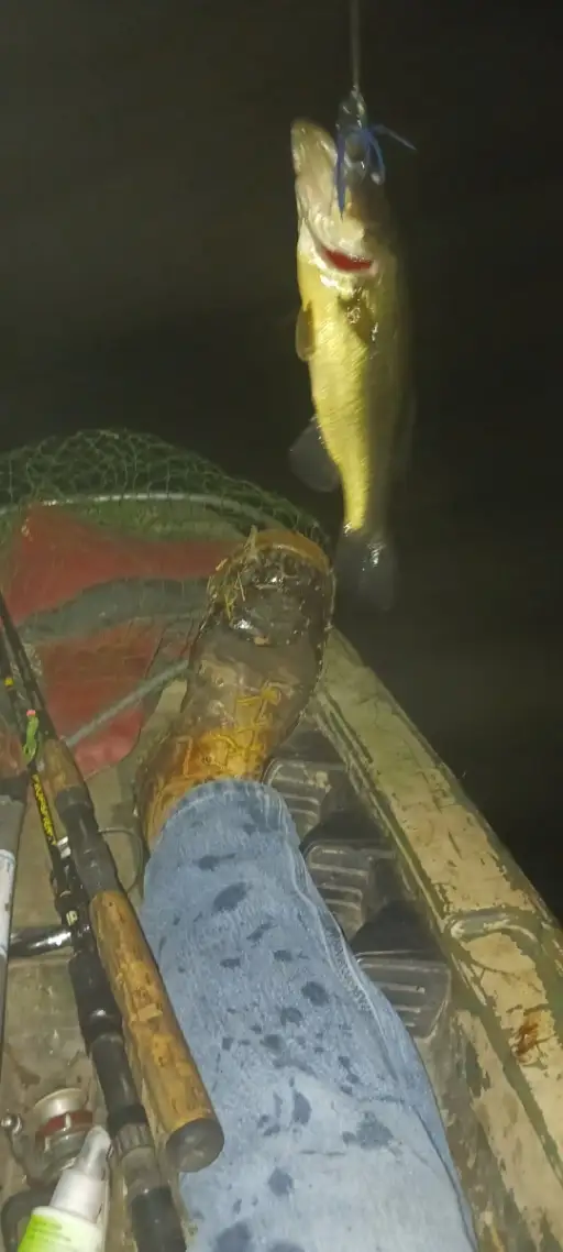
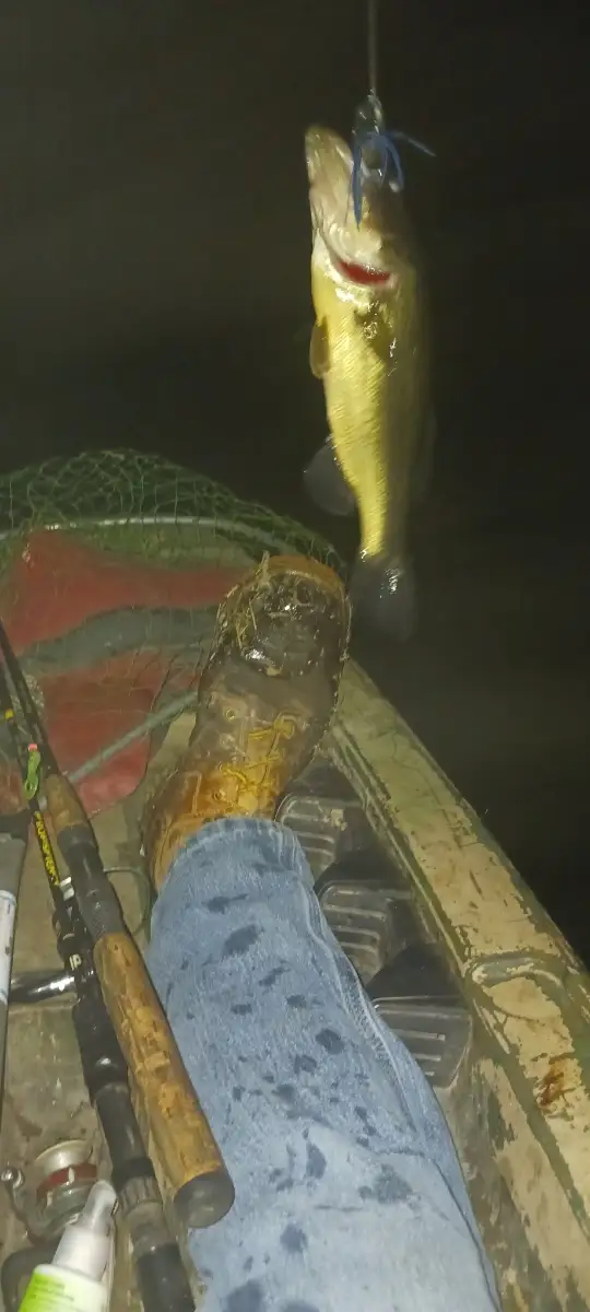
Cooler October temps around Landover Hills have fish feeding up in the Anacostia tributaries and nearby ponds. Expect active largemouth bass around wood, riprap, and shallow grass edges, especially on the early morning and late afternoon bite. Work spinnerbaits, chatterbaits, and lipless cranks along current seams; switch to a finesse jig or Ned rig when the sun gets higher.
Crappie are schooling tighter on brush and bridge pilings in the Northeast/Northwest Branches and local lakes; small twister tails or live minnows under a float produce best. Bluegill remain steady along weed edges—tiny plastics or bread balls keep rods bending for kids.
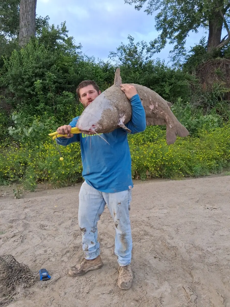
Tidal stretches near Bladensburg see a dependable channel catfish bite on cut bait. Anglers probing marsh mouths may encounter northern snakehead; cover water with swim jigs or buzzbaits during warmer afternoons. Look for improving action on falling tides and after mild, stable weather. Water is slightly stained after rains; a chartreuse accent helps.
Top tip: Track bait—if you see shad flickering, match the hatch with a 1/4–1/2 oz shad-colored lipless crank and yo-yo it off the bottom; most strikes come on the fall.
Best Fishing Spots in the greater Landover Hills area
Wharf's or Jetties are good places to wet a line and meet other fishermen. They often produce a fresh feed of fish and are also great to catch bait fish. As they are often well lit, they also provide a good opportunity for night fishing. There are 4 wharf(s) in this area.
Magazine Wharf - 9.33247164705km , Navy Yard Wharf (historical) - 11.76742219123km , Barrys Wharf (historical) - 12.33257721077km , Notley Young Wharf (historical) - 13.46034029925km
Harbours and Marinas can often times be productive fishing spots for land based fishing as their sheltered environment attracts a wide variety of bait fish. Similar to river mouths, harbour entrances are also great places to fish as lots of fish will move in and out with the rising and falling tides. There are 2 main harbours in this area.
Seafairers Marina - 9.95927566214km, Anacostia Marina - 10.12478077984km
We found a total of 40 potential fishing spots nearby Landover Hills. Below you can find them organized on a map. Points, Headlands, Reefs, Islands, Channels, etc can all be productive fishing spots. As these are user submitted spots, there might be some errors in the exact location. You also need to cross check local fishing regulations. Some of the spots might be in or around marine reserves or other locations that cannot be fished. If you click on a location marker it will bring up some details and a quick link to google search, satellite maps and fishing times. Tip: Click/Tap on a new area to load more fishing spots.
Briers Mill Run - 4.17748951024km , Northeast Branch Anacostia River - 4.65516793062km , Northwest Branch Anacostia River - 4.70276027069km , Paint Branch - 4.87941680895km , Indian Creek - 4.90682015446km , Beaverdam Creek - 5.25048445655km , Folly Branch - 6.35124985822km , Lottsford Branch - 6.37180516233km , Bald Hill Branch - 6.45303843013km , Greenbelt Lake Dam - 6.72584609018km , Hickey Run - 6.81513243463km , Watts Branch - 6.96316192208km , Sligo Creek - 7.56088049236km , Kingman Lake - 7.72314683798km , Ritchie Branch - 7.77614787607km , Bennings Branch (historical) - 8.04442053964km , Burnham Barrier - 8.09753320964km , Little Paint Branch - 8.30949040377km , Northampton Lake Dam - 8.37523560203km , Soil Conservation Service Lake Dam - 8.76953248087km , Alter Pond - 8.82400457941km , Takoma Branch - 8.91787751154km , Spring Branch (historical) - 8.92163874614km , Northeast Branch Western Branch Patuxent River - 9.10665213402km , Magazine Wharf - 9.33247164705km , Beck Branch - 9.4510648976km , Pope Branch - 9.81952372489km , Seafairers Marina - 9.95927566214km , Anacostia Marina - 10.12478077984km , Southwest Branch Western Branch Patuxent River - 10.71320767615km , Navy Yard Wharf (historical) - 11.76742219123km , Newstop Branch - 11.87100221858km , Reedy Branch (historical) - 11.92986295865km , Barrys Wharf (historical) - 12.33257721077km , Redington Lake Dam - 12.59532826078km , Turkey Branch - 12.70189152401km , Stickfoot Branch - 12.80026505526km , Allen Pond Dam - 12.84195125596km , Slash Run (historical) - 13.33106746704km , Notley Young Wharf (historical) - 13.46034029925km



Comments