-
Nautical Twilight begins:Sunrise:
-
Sunset:Nautical Twilight ends:
-
Moonrise:
-
Moonset:
-
Moon over:
-
Moon under:
-
Visibility:1%
-
 New Moon
-
Distance to earth:405,064 kmProximity:1.5 %
Moon Phases for Middle River
-
excellent Day
-
major Time:12:00 am - 02:00 am
-
minor Time:07:32 am - 09:32 am
-
major Time:12:32 pm - 02:32 pm
-
minor Time:
 05:32 pm -
07:32 pm
Tide Clock
Tide Graph
Times
| Tide | Time | Height |
|---|---|---|
| low | 02:51 am | 0.62 ft |
| high | 07:41 am | 1.35 ft |
| low | 01:51 pm | 0.23 ft |
| high | 08:32 pm | 1.9 ft |
Wind Speed and Direction
Wind Direction:
Wind Speed:
Wind Direction and Speed are one of the most important aspects for choosing a fishing spot. An offshore wind can help land-based anglers with longer casting distances, while an onshore wind will make kayak fishing safer. Often fish will also move to certain feeding areas depending on the wind direction. Check out the long term wind forecast at the charts below.
Fishing Barometer
Atmospheric Pressure:
Change since midnight:
Trend for next 6 hours:
Atmospheric or Barometric Pressure affects fish activity. The best fishing can be had on a rising barometer and also the time just before it is falling. A steady barometer in the higher ranges can also mean good fishing. A falling or low barometer reading without much change is usually not a very good time for fishing.
UV Effect on Fishing
As a rule of thumb, the higher the UV index, the deeper fish will move. Shallow water fishing is best done at times with a low UV index. When the UV is high, stick to early mornings, late evenings and shaded areas. The effect is less noticable in deeper water, but often a higher UV index can produce good results in the deep.
| Date | Major Bite Times | Minor Bite Times | Sun | Moon | Moonphase | Tide Times |
|---|---|---|---|---|---|---|
|
|
-
-
|
-
-
|
R: S: |
R: S: |
New Moon |
low:
, 0.62 ft
high:
, 1.35 ft
, Coeff: 78
low:
, 0.23 ft
high:
, 1.9 ft
, Coeff: 143
|
|
|
-
-
|
-
-
|
R: S: |
R: S: |
Waxing Crescent |
low:
, 0.66 ft
high:
, 1.25 ft
, Coeff: 66
low:
, 0.23 ft
high:
, 1.9 ft
, Coeff: 143
|
|
|
-
-
|
-
-
|
R: S: |
R: S: |
Waxing Crescent |
low:
, 0.66 ft
high:
, 1.18 ft
, Coeff: 58
low:
, 0.23 ft
high:
, 1.9 ft
, Coeff: 143
|
|
|
-
-
|
-
-
|
R: S: |
R: S: |
Waxing Crescent |
low:
, 0.66 ft
high:
, 1.12 ft
, Coeff: 51
low:
, 0.26 ft
high:
, 1.87 ft
, Coeff: 139
|
|
|
-
-
|
-
-
|
R: S: |
R: S: |
Waxing Crescent |
low:
, 0.66 ft
high:
, 1.08 ft
, Coeff: 47
low:
, 0.3 ft
high:
, 1.8 ft
, Coeff: 132
|
|
|
-
-
|
-
-
|
R: S: |
R: S: |
Waxing Crescent |
low:
, 0.66 ft
high:
, 1.08 ft
, Coeff: 47
low:
, 0.36 ft
high:
, 1.77 ft
, Coeff: 128
|
|
|
-
-
|
-
-
|
R: S: |
R: S: |
First Quarter Moon |
low:
, 0.62 ft
high:
, 1.08 ft
, Coeff: 47
low:
, 0.39 ft
|
October Fishing Report
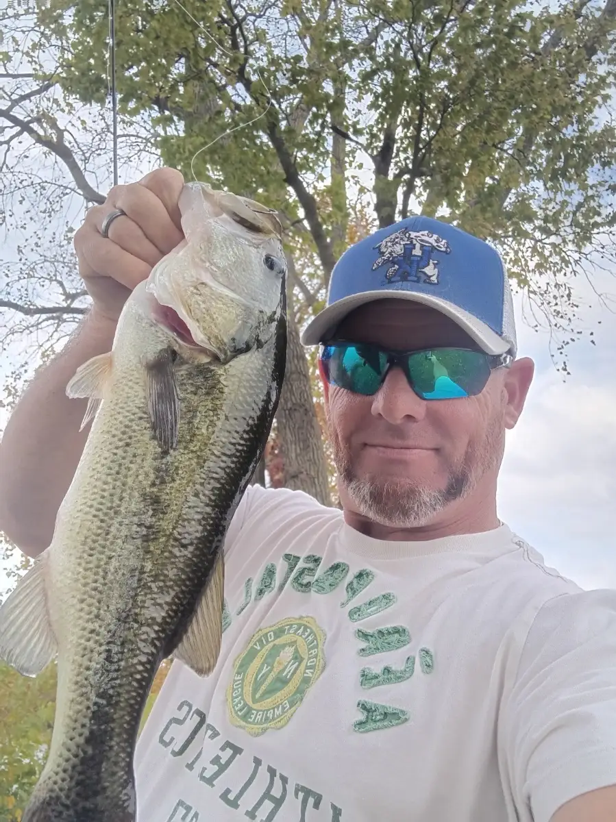
October on Middle River brings crisp mornings and active fish. Expect strong action from striped bass as schools push bait into coves and channel edges; look for gulls over breaking fish. White perch slide deeper to 10–20 ft near bridge pilings and drop-offs, while channel catfish prowl muddy bends after sundown. In warmer afternoons, creeks can yield largemouth bass around laydowns and riprap. Water temps are cooling into the 60s, and a north breeze after fronts often sparks mid-day bites.
Best windows are dawn and dusk on a moving tide. Work shorelines, points, and the mouths of coves; current seams near Hart‑Miller and marsh edges are productive. For rockfish, throw topwater walkers at first light, then switch to 1/2–1 oz jigheads with soft plastics or bucktails as the sun rises. Perch respond to small metals or bloodworm-tipped rigs tight to structure. Fresh cut menhaden or chicken liver draws cats along deeper ledges.
Top tip: Keep a spoon or compact metal ready—when birds start working, a fast-sinking lure lets you reach busting fish quickly and match small peanut bunker.
Best Fishing Spots in the greater Middle River area
Harbours and Marinas can often times be productive fishing spots for land based fishing as their sheltered environment attracts a wide variety of bait fish. Similar to river mouths, harbour entrances are also great places to fish as lots of fish will move in and out with the rising and falling tides. There are 16 main harbours in this area.
Buedel Marina - 0.79470768703km, Markleys Marina - 2.2565660303km, Essex Marina - 2.33864215215km, Parkside Marina - 3.00848108629km, Norman Creek Marina - 3.10729889326km, Sunset Harbor Marina - 3.22781708515km, Tradewinds Marina - 3.24196978303km, Maryland Marina - 3.57353498256km, Essex Yacht Harbor - 4.43095904395km, Essex Yacht Harbor Marina - 4.47635145616km, Bowleys Yacht Basin - 5.6979860004km, Galloway Creek Marina - 5.71996102274km, Bowleys Marina - 5.84224013112km, Porters Seneca Park Marina - 5.91073286098km, Goose Harbor Marina - 6.6724917522km, Bowermans Marina - 7.17061015286km
We found a total of 40 potential fishing spots nearby Middle River. Below you can find them organized on a map. Points, Headlands, Reefs, Islands, Channels, etc can all be productive fishing spots. As these are user submitted spots, there might be some errors in the exact location. You also need to cross check local fishing regulations. Some of the spots might be in or around marine reserves or other locations that cannot be fished. If you click on a location marker it will bring up some details and a quick link to google search, satellite maps and fishing times. Tip: Click/Tap on a new area to load more fishing spots.
Buedel Marina - 0.79470768703km , Cowpen Creek - 1.09906237685km , Martin Lagoon - 1.21536266057km , Hopkins Creek - 1.96564075622km , Dark Head Creek - 2.08678583197km , Markleys Marina - 2.2565660303km , Essex Marina - 2.33864215215km , Brien Run - 2.80370501585km , Stemmers Run - 2.80370501585km , Parkside Marina - 3.00848108629km , Norman Creek Marina - 3.10729889326km , Sunset Harbor Marina - 3.22781708515km , Tradewinds Marina - 3.24196978303km , Norman Creek - 3.33220475955km , Stansbury Creek - 3.4408453411km , Maryland Marina - 3.57353498256km , Hogpen Creek - 3.68424461342km , Frog Mortar Creek - 3.76357768576km , Duck Creek - 4.4081071356km , Essex Yacht Harbor - 4.43095904395km , Essex Yacht Harbor Marina - 4.47635145616km , Northeast Creek - 5.01614885732km , Muddy Gut - 5.20078084224km , Honeygo Run - 5.3646958034km , Bread and Cheese Creek - 5.4192367073km , Sue Creek - 5.5637420043km , Bowleys Yacht Basin - 5.6979860004km , Galloway Creek Marina - 5.71996102274km , Bowleys Marina - 5.84224013112km , Porters Seneca Park Marina - 5.91073286098km , Sue Island - 5.93789944766km , Windlass Run - 6.2640985605km , Whitemarsh Run - 6.40821993185km , Lightwoods Creek - 6.45860406522km , Middle River - 6.52375844621km , Goose Harbor Marina - 6.6724917522km , Redhouse Creek - 6.78099644381km , East Branch Honeygo Run - 6.83083778309km , Bowermans Marina - 7.17061015286km , Moores Run - 7.28522655685km



Comments