-
Nautical Twilight begins:Sunrise:
-
Sunset:Nautical Twilight ends:
-
Moonrise:
-
Moonset:
-
Moon over:
-
Moon under:
-
Visibility:4%
-
 Waxing Crescent
-
Distance to earth:405,502 kmProximity:0.5 %
Moon Phases for Louisiana
-
excellent Day
-
major Time:12:49 am - 02:49 am
-
minor Time:08:37 am - 10:37 am
-
major Time:01:20 pm - 03:20 pm
-
minor Time:06:03 pm - 08:03 pm
Wind Speed and Direction
Wind Direction:
Wind Speed:
Wind Direction and Speed are one of the most important aspects for choosing a fishing spot. An offshore wind can help land-based anglers with longer casting distances, while an onshore wind will make kayak fishing safer. Often fish will also move to certain feeding areas depending on the wind direction. Check out the long term wind forecast at the charts below.
Fishing Barometer
Atmospheric Pressure:
Change since midnight:
Trend for next 6 hours:
Atmospheric or Barometric Pressure affects fish activity. The best fishing can be had on a rising barometer and also the time just before it is falling. A steady barometer in the higher ranges can also mean good fishing. A falling or low barometer reading without much change is usually not a very good time for fishing.
UV Effect on Fishing
As a rule of thumb, the higher the UV index, the deeper fish will move. Shallow water fishing is best done at times with a low UV index. When the UV is high, stick to early mornings, late evenings and shaded areas. The effect is less noticable in deeper water, but often a higher UV index can produce good results in the deep.
| Date | Major Bite Times | Minor Bite Times | Sun | Moon | Moonphase |
|---|---|---|---|---|---|
|
|
-
-
|
-
-
|
R: S: |
R: S: |
Waxing Crescent |
|
|
-
-
|
-
-
|
R: S: |
R: S: |
Waxing Crescent |
|
|
-
-
|
-
-
|
R: S: |
R: S: |
Waxing Crescent |
|
|
-
-
|
-
-
|
R: S: |
R: S: |
Waxing Crescent |
|
|
-
-
|
-
-
|
R: S: |
R: S: |
First Quarter Moon |
|
|
-
-
|
-
-
|
R: S: |
R: S: |
First Quarter Moon |
|
|
-
-
|
-
-
|
R: S: |
R: S: |
First Quarter Moon |
October Fishing Report
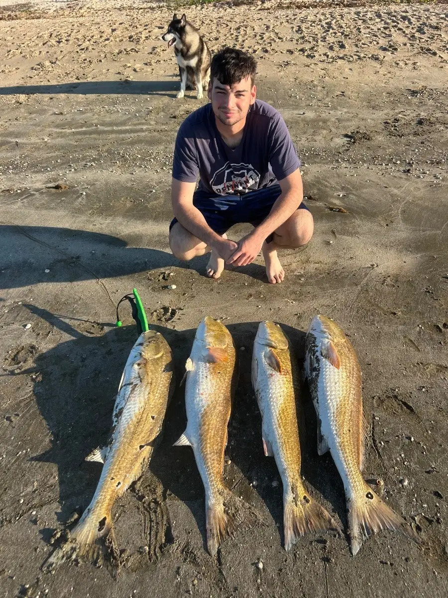
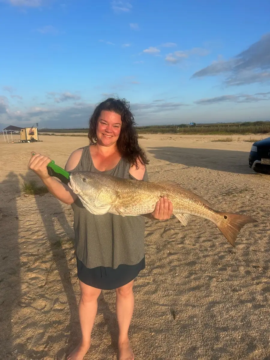
Cooler October temps are turning on the bite across Louisiana’s coast and marsh. Speckled trout are stacking along oyster reefs and bridge pylons in Lake Pontchartrain and Calcasieu; work early morning topwaters, then switch to soft plastics under a popping cork as the sun rises. Redfish are cruising marsh edges and drains on a falling tide; gold spoons and live shrimp near points are producing. Expect some hefty bull reds at jetties around Grand Isle and Venice with cut mullet or crab.
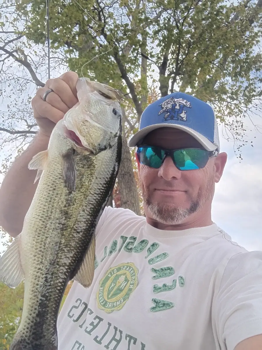
Inside the bays, look for flounder around current-swept pockets; slow-roll paddle tails along the bottom. In freshwater, largemouth bass are chasing shad in the Atchafalaya spillways and Toledo Bend—crankbaits on windblown banks and finesse worms after fronts. Blue catfish are active in deeper river bends on cut bait.
Key conditions: post-front north winds improve water clarity; best action is at dawn and dusk with moving water. Bring lighter leaders on clear days and upsize after rains.
Top tip: Target marsh drains two hours before and after a falling tide; position down-current and let your bait sweep naturally through the funnel for aggressive strikes.
Best Fishing Spots in the greater Louisiana area
Harbours and Marinas can often times be productive fishing spots for land based fishing as their sheltered environment attracts a wide variety of bait fish. Similar to river mouths, harbour entrances are also great places to fish as lots of fish will move in and out with the rising and falling tides. There are 1 main harbours in this area.
Two Rivers Marina - 1.44994799471km
We found a total of 40 potential fishing spots nearby Louisiana. Below you can find them organized on a map. Points, Headlands, Reefs, Islands, Channels, etc can all be productive fishing spots. As these are user submitted spots, there might be some errors in the exact location. You also need to cross check local fishing regulations. Some of the spots might be in or around marine reserves or other locations that cannot be fished. If you click on a location marker it will bring up some details and a quick link to google search, satellite maps and fishing times. Tip: Click/Tap on a new area to load more fishing spots.
Noix Creek - 1.06848199552km , Two Rivers Marina - 1.44994799471km , Salt River - 2.18764270973km , Buffalo Island - 2.86241638492km , Blackburn Island - 2.95603584854km , Bishop Branch - 2.97236450304km , Plum Point Slough - 4.01135666649km , Angle Island - 4.30994769206km , Gosline Island - 4.48008860964km , Cocklebur Slough - 5.07047932476km , Hickory Chute - 5.33597903084km , Crider Island - 5.39734750561km , Upper Swan Lake - 5.41396155429km , Miller Dam - 5.54048752801km , Lower Swan Lake - 5.54955989526km , Little Noix Creek - 6.00801810177km , Little Sny - 6.11909216949km , Ducher Island - 6.24083834931km , Butcher Pond - 6.28234211291km , Barton Pond - 7.00932489605km , Coon Slough - 7.16126046767km , Atlas Creek - 7.23780888163km , Spring Lake Island - 7.25823344239km , Twin Lakes - 7.44025044646km , Cash Island - 7.51730683911km , Halfmoon Lake - 7.55343898907km , Fish Ponds - 7.62846156812km , South Fritz Island - 7.82368444047km , Upper Cutoff Slough - 7.85387402835km , South Fritz Island - 7.95586937531km , Spatterdock Lake - 8.14797427765km , Cains Creek - 8.14987882051km , Ransom Slough - 8.23743624071km , Flag Pond - 8.37403820195km , Ambrosia Creek - 8.41080093584km , Greenbrier Slough - 8.4537383685km , Log Slough - 8.48805400784km , Rainbow Pond - 8.52564001534km , Jimtown Branch - 8.5743765917km , Jordan Slough - 8.80277840674km




Comments