-
Nautical Twilight begins:Sunrise:
-
Sunset:Nautical Twilight ends:
-
Moonrise:
-
Moonset:
-
Moon over:
-
Moon under:
-
Visibility:1%
-
 New Moon
-
Distance to earth:405,101 kmProximity:1.4 %
Moon Phases for Oklahoma City
-
excellent Day
-
major Time:12:30 am - 02:30 am
-
minor Time:07:51 am - 09:51 am
-
major Time:01:00 pm - 03:00 pm
-
minor Time:
 06:09 pm -
08:09 pm
Wind Speed and Direction
Wind Direction:
Wind Speed:
Wind Direction and Speed are one of the most important aspects for choosing a fishing spot. An offshore wind can help land-based anglers with longer casting distances, while an onshore wind will make kayak fishing safer. Often fish will also move to certain feeding areas depending on the wind direction. Check out the long term wind forecast at the charts below.
Fishing Barometer
Atmospheric Pressure:
Change since midnight:
Trend for next 6 hours:
Atmospheric or Barometric Pressure affects fish activity. The best fishing can be had on a rising barometer and also the time just before it is falling. A steady barometer in the higher ranges can also mean good fishing. A falling or low barometer reading without much change is usually not a very good time for fishing.
UV Effect on Fishing
As a rule of thumb, the higher the UV index, the deeper fish will move. Shallow water fishing is best done at times with a low UV index. When the UV is high, stick to early mornings, late evenings and shaded areas. The effect is less noticable in deeper water, but often a higher UV index can produce good results in the deep.
| Date | Major Bite Times | Minor Bite Times | Sun | Moon | Moonphase |
|---|---|---|---|---|---|
|
|
-
-
|
-
-
|
R: S: |
R: S: |
New Moon |
|
|
-
-
|
-
-
|
R: S: |
R: S: |
Waxing Crescent |
|
|
-
-
|
-
-
|
R: S: |
R: S: |
Waxing Crescent |
|
|
-
-
|
-
-
|
R: S: |
R: S: |
Waxing Crescent |
|
|
-
-
|
-
-
|
R: S: |
R: S: |
Waxing Crescent |
|
|
-
-
|
-
-
|
R: S: |
R: S: |
First Quarter Moon |
|
|
-
-
|
-
-
|
R: S: |
R: S: |
First Quarter Moon |
October Fishing Report
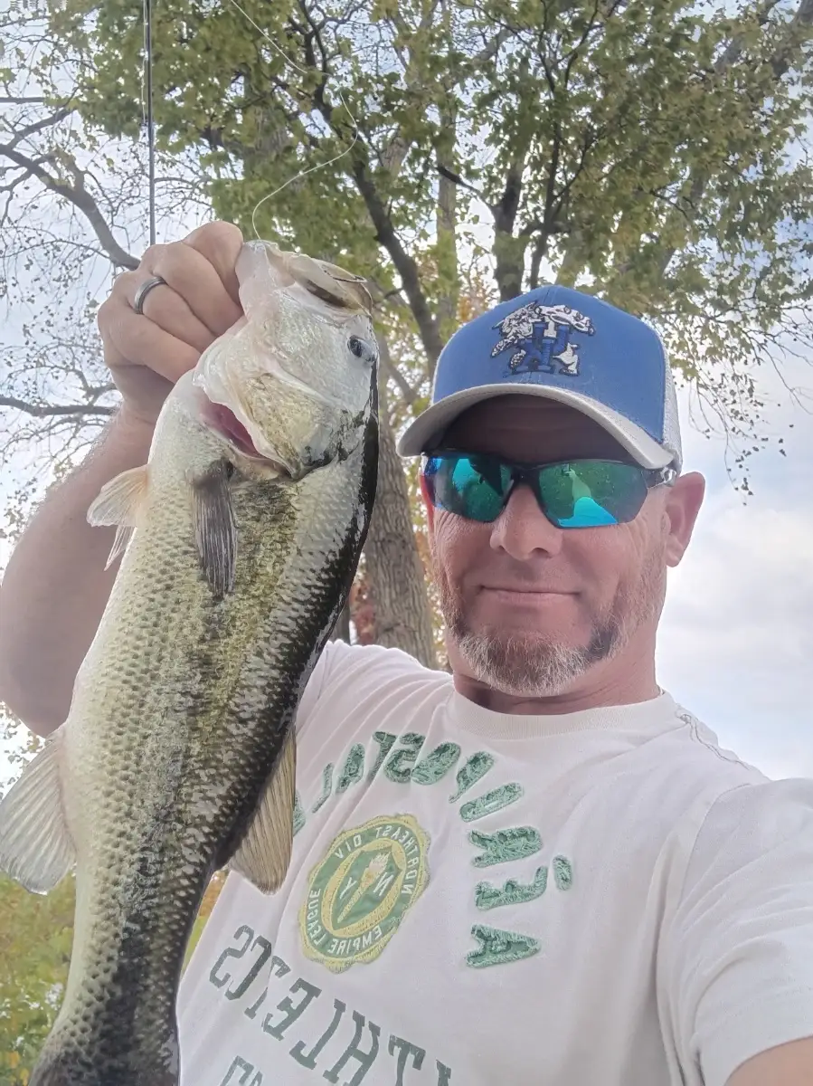
Cooling nights around Oklahoma City have water temps slipping into the low-to-mid 60s, kicking off classic fall feeding. At Lake Hefner and Overholser, largemouth bass are pushing shad onto windy points and riprap; work early and late with topwaters, then switch to squarebills and spinnerbaits as the wind builds. On Arcadia Lake, crappie are sliding to brush and standing timber in 8–12 ft; small jigs or minnows in natural shad hues are producing steady bites.
Schooling activity is popping on calm afternoons—watch for surface flickers to find white bass and the occasional hybrid; cast small spoons or roadrunners through the melee. For a patient play, target channel catfish along creek mouths and flats with cut shad or punch bait, especially just before a front when pressure drops. After turnover, clarity can vary—favor the windiest banks for active fish and use louder or brighter baits if stain increases.
Top Tip: Keep a two-rod combo ready—one with a moving bait (spinnerbait or lipless crank) and one with a finesse backup (Ned rig or shaky head). If the bite dies with a wind shift, immediately downsizing can extend the feed window.
Best Fishing Spots in the greater Oklahoma City area
Harbours and Marinas can often times be productive fishing spots for land based fishing as their sheltered environment attracts a wide variety of bait fish. Similar to river mouths, harbour entrances are also great places to fish as lots of fish will move in and out with the rising and falling tides. There are 1 main harbours in this area.
Sportsmans Club Dam - 7.6358072896km
We found a total of 40 potential fishing spots nearby Oklahoma City. Below you can find them organized on a map. Points, Headlands, Reefs, Islands, Channels, etc can all be productive fishing spots. As these are user submitted spots, there might be some errors in the exact location. You also need to cross check local fishing regulations. Some of the spots might be in or around marine reserves or other locations that cannot be fished. If you click on a location marker it will bring up some details and a quick link to google search, satellite maps and fishing times. Tip: Click/Tap on a new area to load more fishing spots.
Ten Acre Dam - 2.09972950119km , Lightning Creek - 2.27966859006km , Choctaw Sewage Lagoon Dam - 2.69523552847km , Brock Creek - 3.40703724571km , Quapaw Creek Site 23 Dam - 3.90396599383km , Shepherd Lake - 4.59581537407km , Oknoname 02730 Dam - 4.89794094129km , Oknoname 02729 Dam - 5.08989920192km , Crooked Oak Creek - 5.49973335754km , Thompson Lake - 5.9505252037km , Will Rogers Park Holding Pond Dam - 6.46507196984km , Belle Isle Dam - 6.62579486761km , Northeast Dam - 7.63096481875km , Sportsmans Club Dam - 7.6358072896km , Cherry Creek - 8.03248319631km , Aluma Dam - 9.45679085708km , Lightning Creek Holding Pond C Dam - 9.63302169966km , Lightning Creek Holding Pond B Dam - 9.63302169966km , Oknoname 24 Dam - 9.86077154961km , Oknoname 083030 Dam - 10.15778599198km , Lightning Creek Holding Pond A Dam - 10.74232797163km , Oknoname 3 Dam - 11.82467779767km , Twin Lakes East Dam - 11.86359899348km , Shadow Dam - 12.10993993198km , Woodlake Apartments Dam - 12.43537457005km , Oknoname 02702 Dam - 12.5830792436km , Oknoname 02701 Dam - 12.66137668834km , Twin Lakes West Dam - 12.66945020086km , The Pines East Dam - 12.68361996319km , Oknoname 02731 Dam - 12.75668868987km , The Pines West Dam - 12.79634162523km , Lake Leven - 12.79836177037km , Leven Dam - 12.82603881969km , Mustang Creek - 12.95325470067km , Knight Dam - 13.14523341427km , Oknoname 22 Dam - 13.37066335496km , Crutcho Creek - 13.37775067196km , Overholser Dam - 13.44426133184km , Lansbrook Dam - 13.75322648161km , Oknoname 02726 Dam - 13.97516294548km



Comments