-
Nautical Twilight begins:Sunrise:
-
Sunset:Nautical Twilight ends:
-
Moonrise:
-
Moonset:
-
Moon over:
-
Moon under:
-
Visibility:1%
-
 New Moon
-
Distance to earth:405,064 kmProximity:1.5 %
Moon Phases for Dale City
-
excellent Day
-
major Time:12:04 am - 02:04 am
-
minor Time:07:34 am - 09:34 am
-
major Time:12:36 pm - 02:36 pm
-
minor Time:
 05:38 pm -
07:38 pm
Tide Clock
Tide Graph
Times
| Tide | Time | Height |
|---|---|---|
| low | 02:30 am | 0.13 ft |
| high | 08:12 am | 1.64 ft |
| low | 02:19 pm | 0.16 ft |
| high | 08:21 pm | 1.84 ft |
Wind Speed and Direction
Wind Direction:
Wind Speed:
Wind Direction and Speed are one of the most important aspects for choosing a fishing spot. An offshore wind can help land-based anglers with longer casting distances, while an onshore wind will make kayak fishing safer. Often fish will also move to certain feeding areas depending on the wind direction. Check out the long term wind forecast at the charts below.
Fishing Barometer
Atmospheric Pressure:
Change since midnight:
Trend for next 6 hours:
Atmospheric or Barometric Pressure affects fish activity. The best fishing can be had on a rising barometer and also the time just before it is falling. A steady barometer in the higher ranges can also mean good fishing. A falling or low barometer reading without much change is usually not a very good time for fishing.
UV Effect on Fishing
As a rule of thumb, the higher the UV index, the deeper fish will move. Shallow water fishing is best done at times with a low UV index. When the UV is high, stick to early mornings, late evenings and shaded areas. The effect is less noticable in deeper water, but often a higher UV index can produce good results in the deep.
| Date | Major Bite Times | Minor Bite Times | Sun | Moon | Moonphase | Tide Times |
|---|---|---|---|---|---|---|
|
|
-
-
|
-
-
|
R: S: |
R: S: |
New Moon |
low:
, 0.13 ft
high:
, 1.64 ft
, Coeff: 105
low:
, 0.16 ft
high:
, 1.84 ft
, Coeff: 127
|
|
|
-
-
|
-
-
|
R: S: |
R: S: |
Waxing Crescent |
low:
, 0.2 ft
high:
, 1.57 ft
, Coeff: 98
low:
, 0.2 ft
high:
, 1.84 ft
, Coeff: 127
|
|
|
-
-
|
-
-
|
R: S: |
R: S: |
Waxing Crescent |
low:
, 0.23 ft
high:
, 1.54 ft
, Coeff: 94
low:
, 0.23 ft
high:
, 1.77 ft
, Coeff: 120
|
|
|
-
-
|
-
-
|
R: S: |
R: S: |
Waxing Crescent |
low:
, 0.3 ft
high:
, 1.51 ft
, Coeff: 90
low:
, 0.26 ft
high:
, 1.74 ft
, Coeff: 116
|
|
|
-
-
|
-
-
|
R: S: |
R: S: |
Waxing Crescent |
low:
, 0.33 ft
high:
, 1.48 ft
, Coeff: 87
low:
, 0.26 ft
high:
, 1.71 ft
, Coeff: 113
|
|
|
-
-
|
-
-
|
R: S: |
R: S: |
Waxing Crescent |
low:
, 0.36 ft
high:
, 1.44 ft
, Coeff: 83
low:
, 0.3 ft
high:
, 1.67 ft
, Coeff: 109
|
|
|
-
-
|
-
-
|
R: S: |
R: S: |
First Quarter Moon |
low:
, 0.36 ft
high:
, 1.44 ft
, Coeff: 83
low:
, 0.33 ft
|
October Fishing Report
Cooler October temps around Dale City bring steady action on the Occoquan and tidal Potomac. Expect water in the low-to-mid 60s and clearer conditions after a few dry days; stained water follows fall rains. Best bite is often early and late or when a front brings overcast and wind.
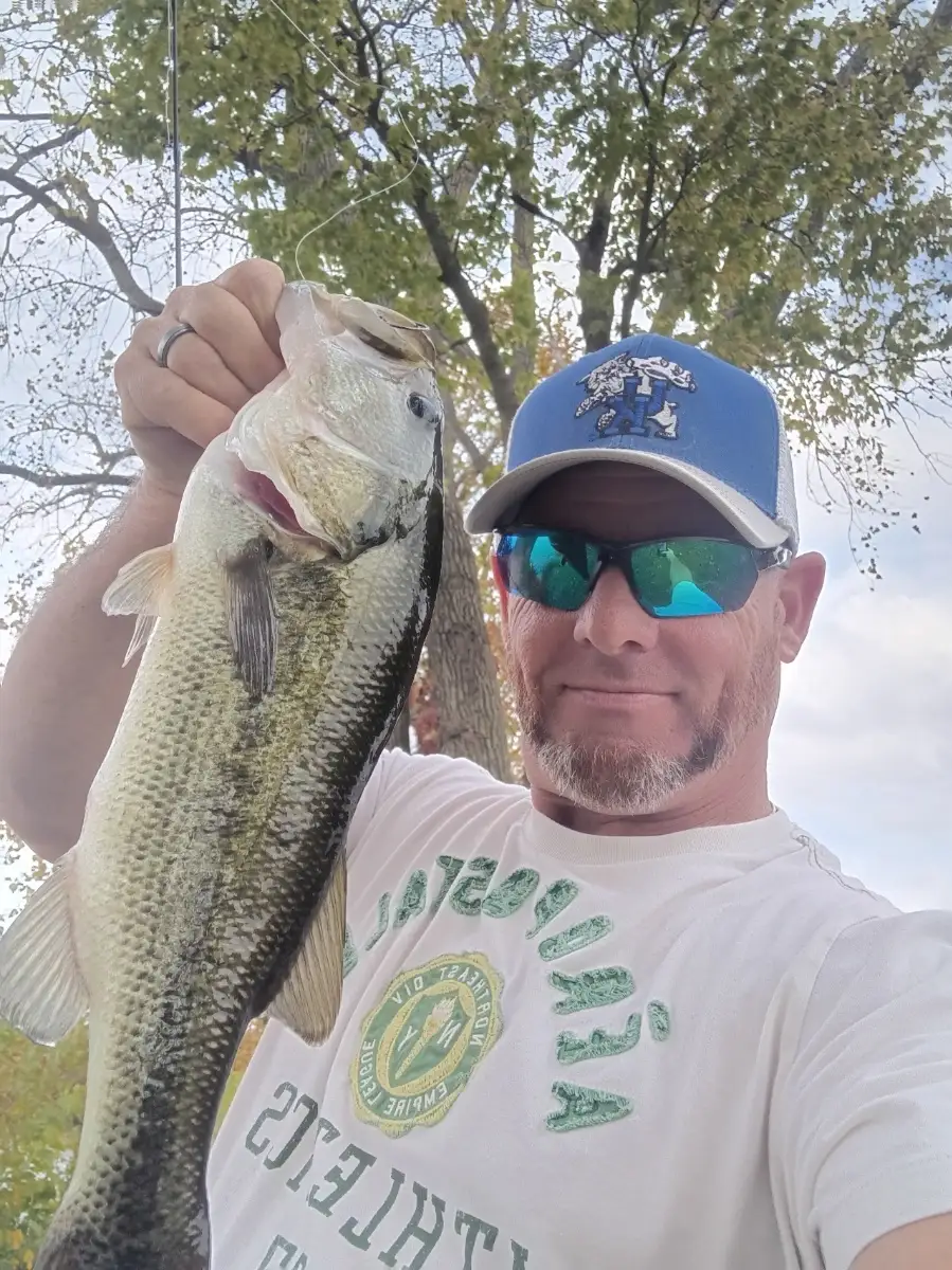
Largemouth bass are pushing shallow to mid-depths. Work wind-blown points, laydowns, and creek mouths with spinnerbaits, squarebill crankbaits, and lipless cranks. Slow down with jigs or Texas-rigged plastics on secondary points when the sun is high.
Crappie are stacking on bridge pilings and brush in 8–15 ft. Vertical minnows or small tube jigs do well; watch electronics for suspended schools and match depth precisely. Bluegill remain active along docks with small worms or micro-jigs.
Tidal edges and creek backwaters can produce snakehead on swim jigs and paddletails during the warmest part of the day. Deeper channel bends hold channel/blue catfish; use cut bait on fish-finders near current seams.
Top tip: Track the tide on the tidal Potomac—fish the moving water. Hit ambush spots (points, drains, grass edges) on the first push of incoming or the start of the outgoing for the most consistent bites.
Best Fishing Spots in the greater Dale City area
Beaches and Bays are ideal places for land-based fishing. If the beach is shallow and the water is clear then twilight times are usually the best times, especially when they coincide with a major or minor fishing time. Often the points on either side of a beach are the best spots. Or if the beach is large then look for irregularities in the breaking waves, indicating sandbanks and holes. We found 7 beaches and bays in this area.
Camp One Dam - 6.65923332942km , Camp Four Dam - 6.83506926862km , Occoquan Bay - 7.63819072027km , Belmont Bay - 8.91675289463km , Carters Day Camp Pond Dam - 9.65428423514km , Camp Three Dam - 10.14094467306km , Camp Five Dam - 11.1643278241km
Harbours and Marinas can often times be productive fishing spots for land based fishing as their sheltered environment attracts a wide variety of bait fish. Similar to river mouths, harbour entrances are also great places to fish as lots of fish will move in and out with the rising and falling tides. There are 3 main harbours in this area.
Lake Ridge Golf Park and Marina - 5.75323256719km, Hampton's Landing Marina - 6.06938223379km, Airport Creek - 6.69891833361km
We found a total of 40 potential fishing spots nearby Dale City. Below you can find them organized on a map. Points, Headlands, Reefs, Islands, Channels, etc can all be productive fishing spots. As these are user submitted spots, there might be some errors in the exact location. You also need to cross check local fishing regulations. Some of the spots might be in or around marine reserves or other locations that cannot be fished. If you click on a location marker it will bring up some details and a quick link to google search, satellite maps and fishing times. Tip: Click/Tap on a new area to load more fishing spots.
Hoadly Run - 2.92071955635km , Headly Run - 2.92071955635km , Lake Omiscal Dam - 3.81974543058km , Lake Montclair Dam - 4.34390327327km , Hunter Run - 4.47330231355km , Marumsco Acres Creek - 4.79214687634km , Easy Creek - 5.09832308143km , Lake Ridge Golf Park and Marina - 5.75323256719km , Hampton's Landing Marina - 6.06938223379km , Marumsco Creek - 6.07285539132km , Farm Creek - 6.26800381877km , Neabsco Creek - 6.36143413119km , Hooes Run - 6.51024836917km , Little Occoquan Run - 6.54919417787km , Occoquan Pumping Dam - 6.55889304905km , Occoquan Dam - 6.65226249301km , Camp One Dam - 6.65923332942km , Airport Creek - 6.69891833361km , Occoquan Main Dam - 6.70846189845km , Elk Horn Run - 6.73550106392km , Camp Four Dam - 6.83506926862km , Occoquan River - 7.47480936676km , Occoquan Bay - 7.63819072027km , Sandy Run - 7.66615117026km , Conrad Island - 7.82120505498km , South Fork Quantico Creek - 8.15176404142km , Giles Run - 8.43825197872km , South Branch Massey Creek - 8.50724121686km , Belmont Bay - 8.91675289463km , Mary Bird Branch - 9.08108789497km , Ryons Dam - 9.53290745201km , Carters Day Camp Pond Dam - 9.65428423514km , Camp Three Dam - 10.14094467306km , Stillwell Run - 10.16863668189km , Kanes Creek - 10.23744232383km , Wolf Run - 10.2684002642km , Cock Pen Branch - 10.29731474656km , Camp Five Dam - 11.1643278241km , Silver Brook - 11.309994438km , Mattawoman Creek - 11.66245153802km



Comments