


-
Nautical Twilight begins:Sunrise:
-
Sunset:Nautical Twilight ends:
-
Moonrise:
-
Moonset:
-
Moon over:
-
Moon under:
-
Visibility:9%
-
 Waxing Crescent
-
Distance to earth:405,001 kmProximity:1.6 %
Moon Phases for Jefferson
-
excellent Day
-
major Time:02:00 am - 04:00 am
-
minor Time:09:55 am - 11:55 am
-
major Time:02:30 pm - 04:30 pm
-
minor Time:07:06 pm - 09:06 pm
Wind Speed and Direction
Wind Direction:
Wind Speed:
Wind Direction and Speed are one of the most important aspects for choosing a fishing spot. An offshore wind can help land-based anglers with longer casting distances, while an onshore wind will make kayak fishing safer. Often fish will also move to certain feeding areas depending on the wind direction. Check out the long term wind forecast at the charts below.
Fishing Barometer
Atmospheric Pressure:
Change since midnight:
Trend for next 6 hours:
Atmospheric or Barometric Pressure affects fish activity. The best fishing can be had on a rising barometer and also the time just before it is falling. A steady barometer in the higher ranges can also mean good fishing. A falling or low barometer reading without much change is usually not a very good time for fishing.
UV Effect on Fishing
As a rule of thumb, the higher the UV index, the deeper fish will move. Shallow water fishing is best done at times with a low UV index. When the UV is high, stick to early mornings, late evenings and shaded areas. The effect is less noticable in deeper water, but often a higher UV index can produce good results in the deep.
| Date | Major Bite Times | Minor Bite Times | Sun | Moon | Moonphase |
|---|---|---|---|---|---|
|
|
-
-
|
-
-
|
R: S: |
R: S: |
Waxing Crescent |
|
|
-
-
|
-
-
|
R: S: |
R: S: |
Waxing Crescent |
|
|
-
-
|
-
-
|
R: S: |
R: S: |
Waxing Crescent |
|
|
-
-
|
-
-
|
R: S: |
R: S: |
Waxing Crescent |
|
|
-
-
|
-
-
|
R: S: |
R: S: |
First Quarter Moon |
|
|
-
-
|
-
-
|
R: S: |
R: S: |
First Quarter Moon |
|
|
-
-
|
-
-
|
R: S: |
R: S: |
First Quarter Moon |
Best Fishing Spots in the greater Jefferson area
Beaches and Bays are ideal places for land-based fishing. If the beach is shallow and the water is clear then twilight times are usually the best times, especially when they coincide with a major or minor fishing time. Often the points on either side of a beach are the best spots. Or if the beach is large then look for irregularities in the breaking waves, indicating sandbanks and holes. We found 2 beaches and bays in this area.
Upper Falls Beach - 6.80470070377km , Sugarcamp Creek - 7.93940233236km
We found a total of 40 potential fishing spots nearby Jefferson. Below you can find them organized on a map. Points, Headlands, Reefs, Islands, Channels, etc can all be productive fishing spots. As these are user submitted spots, there might be some errors in the exact location. You also need to cross check local fishing regulations. Some of the spots might be in or around marine reserves or other locations that cannot be fished. If you click on a location marker it will bring up some details and a quick link to google search, satellite maps and fishing times. Tip: Click/Tap on a new area to load more fishing spots.
Two and Three Quarter Mile Creek - 0.98217108386km , Big Spring Fork - 1.26244131533km , Cain Branch - 1.9733493537km , Finney Branch - 2.33134528616km , Poffenbarger Dam Number Two - 2.91684353469km , Cunningham Flyash Disposal Pond Number Four Dam - 3.14510912552km , Poffenbarger Dam Number One - 3.28084711497km , Upton Creek - 3.54083144829km , Lake Chaweva Dam - 4.20276692447km , Howard Fork - 4.60446760633km , Aarons Creek - 4.76701313201km , Landers Creek - 5.10164008976km , Little Smith Creek - 5.38503551293km , Tackett Creek - 5.41866666228km , Wilson Island - 5.47500540951km , Coal River - 5.58943066735km , Falls Branch - 5.96478097808km , Martin Creek - 6.07200819148km , Blakes-Armour Creek Structure Number Seven Dam - 6.0749813391km , Tyler Island - 6.13168754119km , Tyler Creek - 6.35121376702km , Fmc Waste Retention Basin Dam - 6.59472758479km , Upper Falls Beach - 6.80470070377km , Upper Falls Dam - 6.8545732054km , Falls Creek - 6.90753892985km , Lefthand Fork - 7.26551046295km , Blakes Creek - 7.35556600044km , Clay Bank Branch - 7.47393000979km , Mudsuck Branch - 7.52144844799km , Buds Run - 7.59892566736km , Mahone Branch - 7.69569366149km , Gallatin Branch - 7.74464048641km , Sugarcamp Creek - 7.93940233236km , Fisher Branch - 8.41050538385km , Angel Fork - 8.43373385823km , Blaine Island - 8.63174553726km , Limestone Branch - 8.6583466318km , Little Scary Creek - 8.95974288852km , Pot Branch - 8.97571655678km , Armour Creek - 9.00218135073km

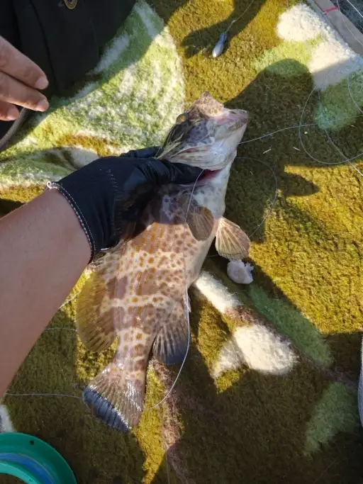
uploaded by: tajiran

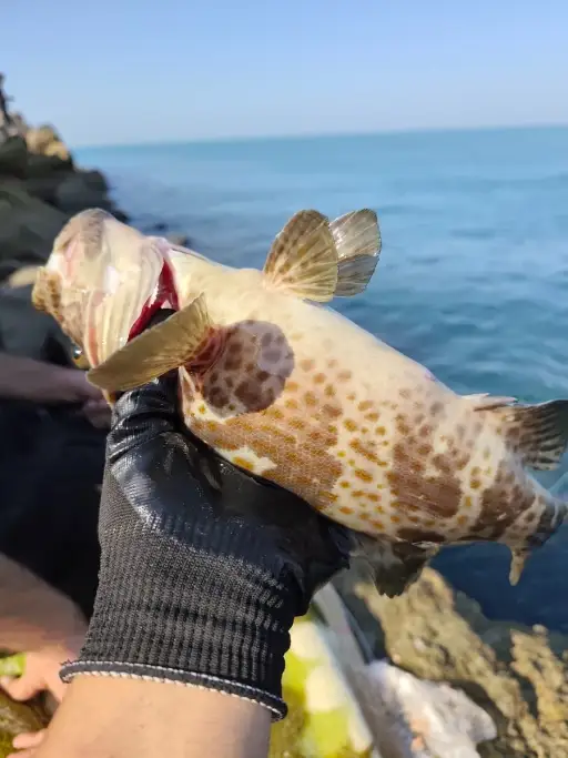
uploaded by: tajiran

uploaded by: tajiran

uploaded by: Charlie Pifer

uploaded by: Wet Patch

uploaded by: dazzling79

uploaded by: benoit johnson_1

uploaded by: benoit johnson_1

uploaded by: benoit johnson_1

uploaded by: Scott Bryant


Comments