

Fruit Hill 🇺🇸
-
Nautical Twilight begins:05:57 amSunrise:06:57 am
-
Sunset:08:23 pmNautical Twilight ends:09:23 pm
-
Moonrise:07:14 am
-
Moonset:08:42 pm
-
Moon over:01:58 pm
-
Moon under:01:25 am
-
Visibility:0%
-
 New Moon
-
Distance to earth:390,279 kmProximity:36.2 %
Moon Phases for Fruit Hill
-
excellent Day
-
major Time:12:25 am - 02:25 am
-
minor Time:
 06:14 am -
08:14 am
06:14 am -
08:14 am
-
major Time:12:58 pm - 02:58 pm
-
minor Time:
07:42 pm -
09:42 pm
| Date | Major Bite Times | Minor Bite Times | Sun | Moon | Moonphase |
|---|---|---|---|---|---|
|
Sat, 23 Aug
|
12:25 am -
02:25 am
12:58 pm -
02:58 pm
|
06:14 am -
08:14 am
07:42 pm -
09:42 pm
|
R: 06:57 am S: 08:23 pm |
R: 07:14 am S: 08:42 pm |
New Moon |
|
Sun, 24 Aug
|
01:09 am -
03:09 am
01:41 pm -
03:41 pm
|
07:19 am -
09:19 am
08:04 pm -
10:04 pm
|
R: 06:58 am S: 08:21 pm |
R: 08:19 am S: 09:04 pm |
New Moon |
|
Mon, 25 Aug
|
01:53 am -
03:53 am
02:23 pm -
04:23 pm
|
08:22 am -
10:22 am
08:25 pm -
10:25 pm
|
R: 06:59 am S: 08:20 pm |
R: 09:22 am S: 09:25 pm |
Waxing Crescent |
|
Tue, 26 Aug
|
02:33 am -
04:33 am
03:04 pm -
05:04 pm
|
09:22 am -
11:22 am
08:46 pm -
10:46 pm
|
R: 07:00 am S: 08:18 pm |
R: 10:22 am S: 09:46 pm |
Waxing Crescent |
|
Wed, 27 Aug
|
03:14 am -
05:14 am
03:45 pm -
05:45 pm
|
10:23 am -
12:23 pm
09:08 pm -
11:08 pm
|
R: 07:01 am S: 08:17 pm |
R: 11:23 am S: 10:08 pm |
Waxing Crescent |
|
Thu, 28 Aug
|
03:56 am -
05:56 am
04:28 pm -
06:28 pm
|
11:24 am -
01:24 pm
09:33 pm -
11:33 pm
|
R: 07:02 am S: 08:15 pm |
R: 12:24 pm S: 10:33 pm |
Waxing Crescent |
|
Fri, 29 Aug
|
04:44 am -
06:44 am
05:15 pm -
07:15 pm
|
12:27 pm -
02:27 pm
10:03 pm -
12:03 am
|
R: 07:03 am S: 08:14 pm |
R: 01:27 pm S: 11:03 pm |
First Quarter Moon |


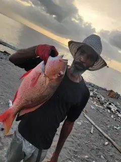
uploaded by: Wayne Robinson_1

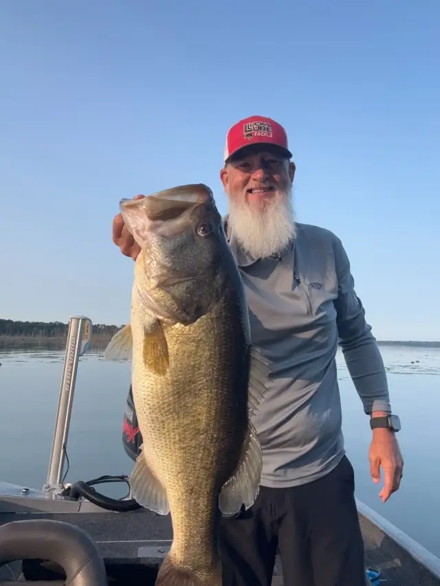
uploaded by: PetrolDriver

uploaded by: PetrolDriver
uploaded by: bandedwd

uploaded by: todd douglas

uploaded by: primerone
uploaded by: Ryan Frazier

uploaded by: Hoza

uploaded by: Alan Baker

uploaded by: Granpa C
Best Fishing Spots in the greater Fruit Hill area
Wharf's or Jetties are good places to wet a line and meet other fishermen. They often produce a fresh feed of fish and are also great to catch bait fish. As they are often well lit, they also provide a good opportunity for night fishing. There are 2 wharf(s) in this area.
Coney Island Wharf (historical) - 12km , Greene Line Wharf (historical) - 13km
Beaches and Bays are ideal places for land-based fishing. If the beach is shallow and the water is clear then twilight times are usually the best times, especially when they coincide with a major or minor fishing time. Often the points on either side of a beach are the best spots. Or if the beach is large then look for irregularities in the breaking waves, indicating sandbanks and holes. We found 1 beaches and bays in this area.
Miami Beach Marina - 5km
Harbours and Marinas can often times be productive fishing spots for land based fishing as their sheltered environment attracts a wide variety of bait fish. Similar to river mouths, harbour entrances are also great places to fish as lots of fish will move in and out with the rising and falling tides. There are 13 main harbours in this area.
Miami Beach Marina - 5km, Washington Marina - 5km, Four Seasons Marina - 6km, Bridgeview Harbor - 6km, Wewes Boat Harbor - 6km, Adams Marina - 7km, Shady Lane Boat Harbor - 7km, Yacht Haven Marina - 7km, Idlewile Marina - 8km, Newport Southbank Bridge - 12km, Cobra Marina - 12km, New Richmond Marina - 15km, New Richmond Harbor - 16km
We found a total of 63 potential fishing spots nearby Fruit Hill. Below you can find them organized on a map. Points, Headlands, Reefs, Islands, Channels, etc can all be productive fishing spots. As these are user submitted spots, there might be some errors in the exact location. You also need to cross check local fishing regulations. Some of the spots might be in or around marine reserves or other locations that cannot be fished. If you click on a location marker it will bring up some details and a quick link to google search, satellite maps and fishing times. Tip: Click/Tap on a new area to load more fishing spots.
Fourmile Lake Dam - 3km , Lake Louise Dam - 3km , Coldstream Country Club Lake Dam - 3km , Apple Hill Farm Lake Dam - 4km , Miami Beach Marina - 5km , Washington Marina - 5km , Four Seasons Marina - 6km , Combs-Hehl Bridge - 6km , Beulah Lake - 6km , Bridgeview Harbor - 6km , Wewes Boat Harbor - 6km , Adams Marina - 7km , Shady Lane Boat Harbor - 7km , Yacht Haven Marina - 7km , Bell Lakes - 7km , Bass Island - 7km , Idlewile Marina - 8km , Warrenton Farms Dam - 9km , Glen Ridge Lake Dam - 9km , Fourth Street Bridge - 12km , Shortway Bridge (historical) - 12km , Newport Southbank Bridge - 12km , Ida Street Bridge - 12km , Melan Arch Bridge - 12km , L & N Pedestrian Bridge - 12km , Lake Allyn - 12km , Central Bridge - 12km , Cincinnati Gas and Electric Lake Dam - 12km , Cincinnati Nature Center Lake Dam - 12km , Daniel Beard Bridge - 12km , Cobra Marina - 12km , Coney Island Wharf (historical) - 12km , Gilbert Avenue Viaduct - 13km , Greene Line Wharf (historical) - 13km , John A Roebling Bridge - 13km , Clay Wade Bailey Bridge - 14km , Spence Bridge - 14km , Gier Pond Dam - 14km , Damms Lake - 14km , Lawrence Pond Dam - 15km , New Richmond Marina - 15km , Western Hills Viaduct - 16km , West Eighth Street Viaduct - 16km , West Sixth Street Viaduct - 16km , Orchard Lake - 16km , New Richmond Harbor - 16km , Bern Lake - 17km , Strauch Island - 17km , Stonelick-Perintown Bridge - 17km , Woodcreek Dam - 17km , Hopple Street Viaduct - 17km , Hilltop Lakes - 17km , Mullberry Hills Pond Dam - 18km , Owensville Lake Dam - 18km , Price Lakes - 18km , Goldman Pond Dam - 18km , Wiemeyer Pond Dam - 18km , Sunset Lake - 18km , Lake Isabella - 19km , Dam Number 3 - 19km , Red R Lake - 19km , Dam Number Three - 19km , Kenridge Lake - 20km
Comments