


North Kensington 🇺🇸
-
Nautical Twilight begins:05:28 amSunrise:06:28 am
-
Sunset:07:54 pmNautical Twilight ends:08:53 pm
-
Moonrise:06:44 am
-
Moonset:08:13 pm
-
Moon over:01:28 pm
-
Moon under:12:55 am
-
Visibility:0%
-
 New Moon
-
Distance to earth:390,279 kmProximity:36.2 %
Moon Phases for North Kensington
-
excellent Day
-
minor Time:
 05:44 am -
07:44 am
05:44 am -
07:44 am
-
major Time:12:28 pm - 02:28 pm
-
minor Time:
07:13 pm -
09:13 pm
-
major Time:11:55 pm - 01:55 am
Tide Clock
Tide Graph
Times
| Tide | Time | Height |
|---|---|---|
| low | 03:36 am | 0.23 ft |
| high | 09:22 am | 3.41 ft |
| low | 04:11 pm | 0.16 ft |
| high | 09:48 pm | 3.25 ft |
| Date | Major Bite Times | Minor Bite Times | Sun | Moon | Moonphase | Tide Times |
|---|---|---|---|---|---|---|
|
Sat, 23 Aug
|
12:28 pm -
02:28 pm
11:55 pm -
01:55 am
|
05:44 am -
07:44 am
07:13 pm -
09:13 pm
|
R: 06:28 am S: 07:54 pm |
R: 06:44 am S: 08:13 pm |
New Moon |
low: 03:36 am
, 0.23 ft
high: 09:22 am
, 3.41 ft
, Coeff: 132
low: 04:11 pm
, 0.16 ft
high: 09:48 pm
, 3.25 ft
, Coeff: 122
|
|
Sun, 24 Aug
|
12:41 am -
02:41 am
01:12 pm -
03:12 pm
|
06:49 am -
08:49 am
07:35 pm -
09:35 pm
|
R: 06:29 am S: 07:52 pm |
R: 07:49 am S: 08:35 pm |
New Moon |
low: 04:25 am
, 0.23 ft
high: 10:07 am
, 3.38 ft
, Coeff: 130
low: 04:52 pm
, 0.16 ft
high: 10:31 pm
, 3.31 ft
, Coeff: 126
|
|
Mon, 25 Aug
|
01:22 am -
03:22 am
01:53 pm -
03:53 pm
|
07:51 am -
09:51 am
07:55 pm -
09:55 pm
|
R: 06:30 am S: 07:51 pm |
R: 08:51 am S: 08:55 pm |
Waxing Crescent |
low: 05:11 am
, 0.26 ft
high: 10:50 am
, 3.31 ft
, Coeff: 126
low: 05:29 pm
, 0.23 ft
high: 11:13 pm
, 3.31 ft
, Coeff: 126
|
|
Tue, 26 Aug
|
02:03 am -
04:03 am
02:34 pm -
04:34 pm
|
08:52 am -
10:52 am
08:17 pm -
10:17 pm
|
R: 06:31 am S: 07:49 pm |
R: 09:52 am S: 09:17 pm |
Waxing Crescent |
low: 05:54 am
, 0.36 ft
high: 11:31 am
, 3.18 ft
, Coeff: 118
low: 06:02 pm
, 0.3 ft
high: 11:52 pm
, 3.31 ft
, Coeff: 126
|
|
Wed, 27 Aug
|
02:45 am -
04:45 am
03:16 pm -
05:16 pm
|
09:53 am -
11:53 am
08:39 pm -
10:39 pm
|
R: 06:32 am S: 07:48 pm |
R: 10:53 am S: 09:39 pm |
Waxing Crescent |
low: 06:37 am
, 0.46 ft
high: 12:12 pm
, 3.05 ft
, Coeff: 110
low: 06:32 pm
, 0.36 ft
|
|
Thu, 28 Aug
|
03:28 am -
05:28 am
03:59 pm -
05:59 pm
|
10:54 am -
12:54 pm
09:04 pm -
11:04 pm
|
R: 06:33 am S: 07:46 pm |
R: 11:54 am S: 10:04 pm |
Waxing Crescent |
high: 12:30 am
, 3.31 ft
, Coeff: 126
low: 07:19 am
, 0.59 ft
high: 12:54 pm
, 2.92 ft
, Coeff: 102
low: 07:01 pm
, 0.46 ft
|
|
Fri, 29 Aug
|
04:13 am -
06:13 am
04:44 pm -
06:44 pm
|
11:56 am -
01:56 pm
09:33 pm -
11:33 pm
|
R: 06:34 am S: 07:45 pm |
R: 12:56 pm S: 10:33 pm |
First Quarter Moon |
high: 01:09 am
, 3.25 ft
, Coeff: 122
low: 08:02 am
, 0.69 ft
high: 01:39 pm
, 2.79 ft
, Coeff: 93
low: 07:33 pm
, 0.52 ft
|


uploaded by: Joey Piercefield

uploaded by: Wayne Robinson_1

uploaded by: PetrolDriver

uploaded by: PetrolDriver
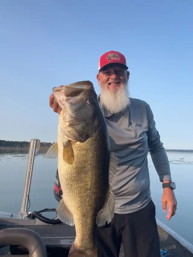
uploaded by: bandedwd

uploaded by: todd douglas

uploaded by: primerone
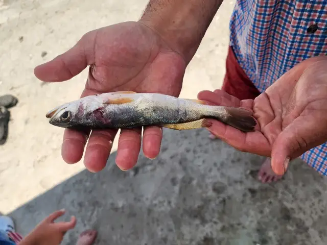
uploaded by: Ryan Frazier

uploaded by: Hoza

uploaded by: Alan Baker
Best Fishing Spots in the greater North Kensington area
Wharf's or Jetties are good places to wet a line and meet other fishermen. They often produce a fresh feed of fish and are also great to catch bait fish. As they are often well lit, they also provide a good opportunity for night fishing. There are 2 wharf(s) in this area.
Easbys Wharf - 15km , Lears Wharf (historical) - 15km
Beaches and Bays are ideal places for land-based fishing. If the beach is shallow and the water is clear then twilight times are usually the best times, especially when they coincide with a major or minor fishing time. Often the points on either side of a beach are the best spots. Or if the beach is large then look for irregularities in the breaking waves, indicating sandbanks and holes. We found 1 beaches and bays in this area.
Fishing Shore - 13km
Harbours and Marinas can often times be productive fishing spots for land based fishing as their sheltered environment attracts a wide variety of bait fish. Similar to river mouths, harbour entrances are also great places to fish as lots of fish will move in and out with the rising and falling tides. There are 2 main harbours in this area.
Washington Harbour - 14km, Georgetown Suites Harbour - 14km
We found a total of 99 potential fishing spots nearby North Kensington. Below you can find them organized on a map. Points, Headlands, Reefs, Islands, Channels, etc can all be productive fishing spots. As these are user submitted spots, there might be some errors in the exact location. You also need to cross check local fishing regulations. Some of the spots might be in or around marine reserves or other locations that cannot be fished. If you click on a location marker it will bring up some details and a quick link to google search, satellite maps and fishing times. Tip: Click/Tap on a new area to load more fishing spots.
Wheaton Regional Park Dam - 4km , Boundary Bridge - 5km , Riley Spring Bridge - 6km , Rolling Meadow Bridge - 7km , Boulder Bridge and Ross Drive Bridge - 9km , Cabin John Bridge - 9km , Cabin John Island - 9km , Cedar Island - 9km , Chatauqua Island - 9km , Lock 7 - 9km , Upper Rock Creek Watershed Site Number 1 Dam - 9km , Upper Rock Creek Watershed Site Number 5 Dam - 9km , Cantilever Bridge - 10km , Langley Island - 10km , Little Falls Dam - 10km , Lock 8 - 10km , Lock 9 - 10km , Minnie Island - 10km , Ruppert Island - 10km , Snake Island - 10km , Sycamore Island - 10km , Wades Island - 10km , Bluff Bridge - 11km , Fron Bridge - 11km , Iron Bridge - 11km , Klingle Ford Bridge - 11km , Pebble Dash Bridge - 11km , Saint Albans Bridge - 11km , Sixteenth Steet Bridge - 11km , Tiger Bridge - 11km , Washington Aqueduct - 11km , American Legion Memorial Bridge - 11km , Dots Island - 11km , High Island - 11km , Lock 10 - 11km , Lock 11 - 11km , Lock 12 - 11km , Lock 13 - 11km , Lock 14 - 11km , Lock 5 - 11km , Lock 6 - 11km , Plummers Island - 11km , Rock Run Culvert - 11km , Swainson Island - 11km , Chain Bridge - 12km , Duke Ellington Memorial Bridge - 12km , Harvard Street Bridge - 12km , Shoreham Hill Bridge - 12km , William Howard Taft Bridge - 12km , Woodley Bridge (historical) - 12km , Charles Richard Drew Bridge - 13km , Devils Chair Bridge - 13km , Dumbarton Bridge - 13km , Fishing Shore - 13km , Massachusetts Avenue Bridge - 13km , Rapids Bridge - 13km , Thompsons Bridge (historical) - 13km , Vaso Island - 13km , Fletchers Cove - 13km , Turkey Island - 14km , Alexandria Aqueduct - 14km , Aqueduct Bridge (historical) - 14km , Francis Scott Key Memorial Bridge - 14km , K Street Bridge - 14km , Lock 1 - 14km , Lock 2 - 14km , Lock 3 - 14km , Lock 4 - 14km , M Street Bridge - 14km , P Street Bridge - 14km , Potomac Aqueduct (historical) - 14km , Three Sisters Islands - 14km , Washington Harbour - 14km , Wisconsin Avenue Bridge - 14km , Great Falls Estate Dam - 14km , Hermit Island - 14km , Herzog Island - 14km , Offutt Island - 14km , Perry Island - 14km , Georgetown Suites Harbour - 14km , Little Sluice Island - 14km , Big Sluice Island - 14km , Easby Point - 15km , Easbys Wharf - 15km , Lears Wharf (historical) - 15km , The Mole - 15km , Peters Point - 15km , Theodore Roosevelt Island - 15km , Theodore Roosevelt Memorial Bridge - 15km , Tidewater Lock - 15km , United States Government Causeway (historical) - 15km , Bealls Island - 15km , Conn Island - 15km , Contee Main Settling Pond Dam - 15km , Gladys Island - 15km , Greenbelt Dam - 15km , Lock 16 - 15km , Lock Island - 15km , Minnehaha Island - 15km
Comments